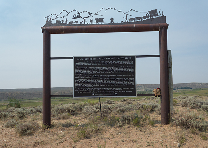
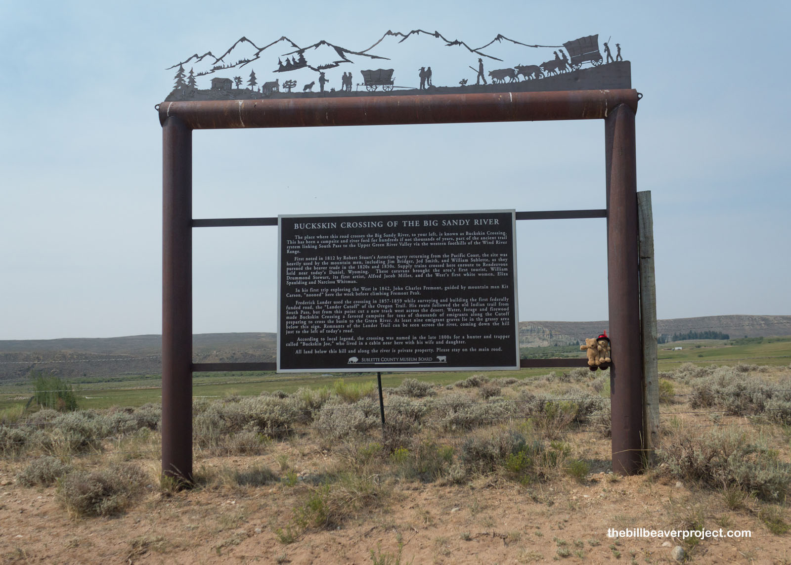
Plaque Text for Wyoming Landmark #SU0003.92:
The place where this road crosses the Big Sandy River, to your left, is known as Buckskin Crossing. This has been a campsite and river ford for hundreds if not thousands of years, part of the ancient trail system linking South Pass to the Upper Green River Valley via the western foothills of the Wind River Range.
First noted in 1812 by Robert Stuart’s Astorian party returning from the Pacific Coast, the site was heavily used by the mountain men, including Jim Bridger, Jed Smith, and William Sublette, as they pursued the beaver trade in the 1820s and 1830s. Supply trains crossed here enroute to Rendezvous held near today’s Daniel, Wyoming. These caravans brought the area’s first tourist, William Drummond Stewart, its first artist, Alfred Jacob Miller, and the West’s first white women, Eliza Spaulding and Narcissa Whitman.
In his first trip exploring the West in 1842, John Charles Fremont, guided by mountain man Kit Carson, “nooned” here the week before climbing Fremont Peak.
Frederick Lander used the crossing in 1857-1859, while surveying and building the first federally funded road, the “Lander Cutoff” of the Oregon Trail. His route followed the old Indian trail from South Pass, but from this point cut a new track west across the desert. Water, forage and firewood made Buckskin Crossing a favored campsite for tens of thousands of emigrants along the Cutoff preparing to cross the basin to the Green River. At least nine emigrant graves lie in the grassy area below this sign. Remnants of the Lander Trail can be seen across the river, coming down the hill just to the left of today’s road.
According to local legend, the crossing was named in the late 1800s for a hunter and trapper called “Buckskin Joe,” who lived in a cabin near here with his wife and daughter.
All land below this hill and along the river is private property. Please stay on the main road.
More about the Buckskin Crossing of the Big Sandy River:
That pretty well sums it up!
How Can I #HelpTheHelpers?
- Become a member of the Wyoming State Historical Society!
- Be a responsible visitor! Please respect the signs and pathways, and treat all structures and artifacts with respect. They’ve endured a lot to survive into the present. They’ll need our help to make it into the future!
How Do I Get There?
This marker is on a dirt road, so here are the coordinates:
42.55579305351258, -109.36336416954663
(Take Me There!)
When Should I Visit?
Whenever the mood strikes you!