 Last Leg |
Pittsburgh → Punxsutawney → Harrisburg → Pittsburgh 471.0 mi (758.0 km) |
 Next Day |
Okay, everyone, rise and shine!
Today, I awoke bright and early to my breathtaking view of the Pennsylvania turnpike, which stretches 360 miles from the Ohio turnpike in the west to the New Jersey turnpike in the east! Ah, what a sight!
 |
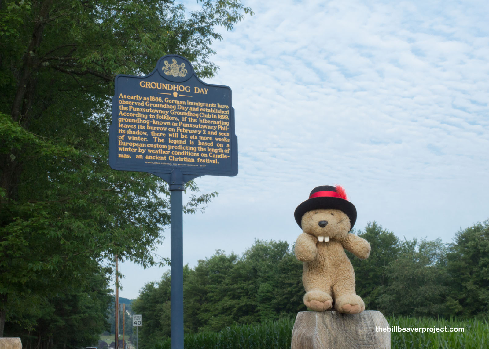
I didn’t hop on the turnpike right away, but I’d see it again and again, almost as if my day would be starting again and again, just like that classic movie from 1993, Groundhog Day! In fact, I was on my way to the heart of this movie’s setting: Punxsutawney, PA, where Groundhog Day has been an annual tradition since 1886!
 |
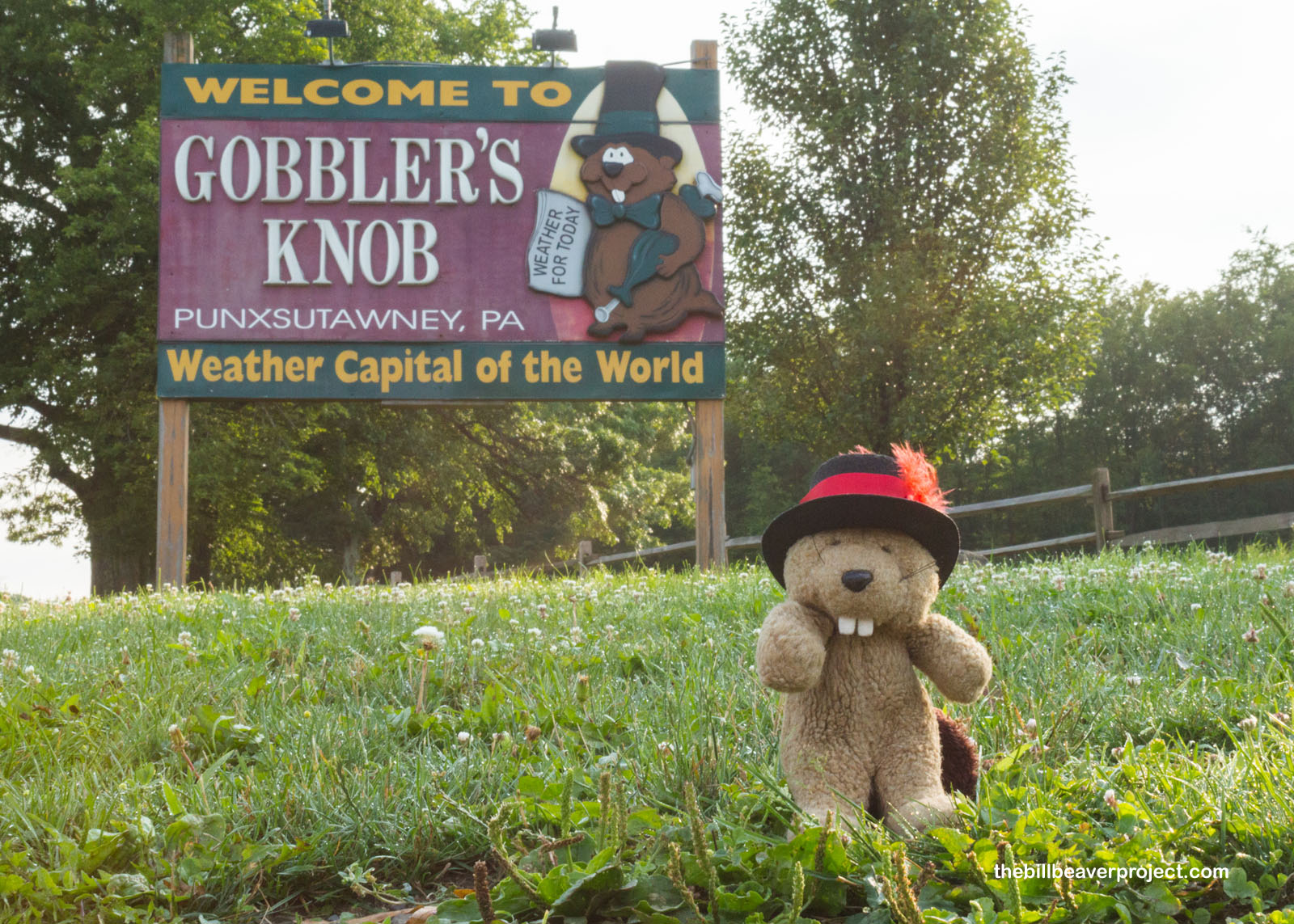
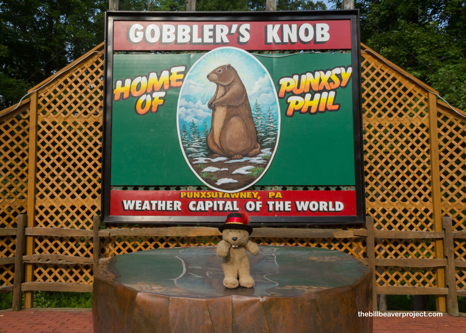
Of course, the place to be in this hilly town is Gobbler’s Knob, where every second of February, the great prognostication takes place. To great fanfare, the mighty Punxsutawney Phil ceremonially emerges from his burrow to reveal the future, using only his shadow! It must be a special groundhog talent, because I’ve tried it many times and always been wrong. Living in LA, though, there isn’t going to be snow no matter how many shadows I do or don’t see!
 |
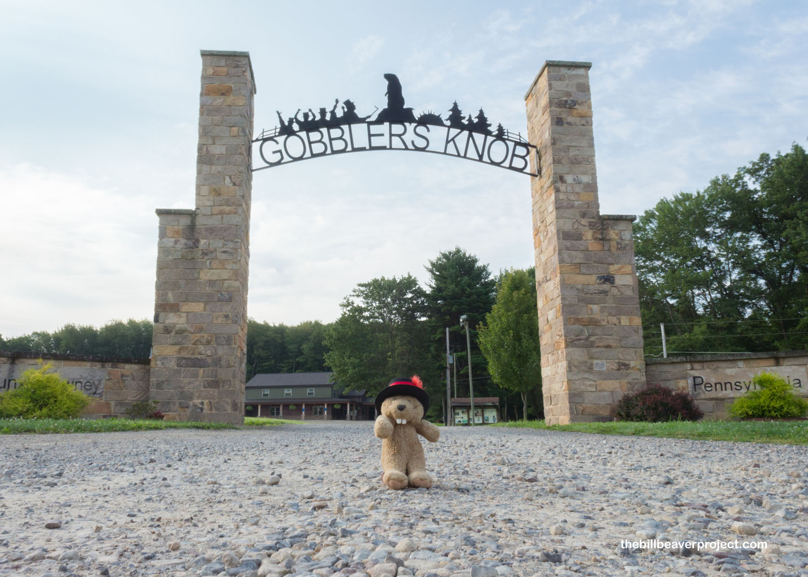 |
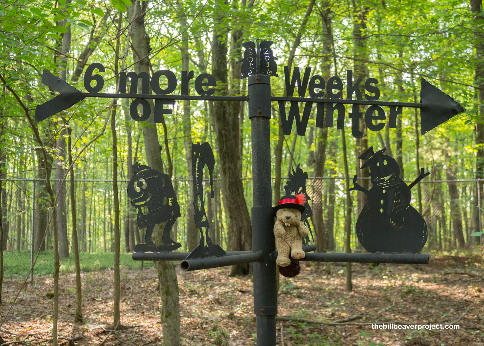
Anyway, the best way to experience Gobbler’s Knob, which may get its name from wild turkeys that used to abound here, is to start on the roughly half-mile loop trail through the bright green woods! This trail’s got all kinds of neat signs discussing the history of Groundhog Day, which coincides with Candlemas, a Christian tradition that, like Easter, has become forever linked to a cute, woodland critter! Originally, this was a German hedgehog, but there are no wild hedgehogs in the US, just a bunch of other ‘hogs that are not pigs at all!
 |
The whole idea of measuring the remaining weeks of winter comes from the idea that Candlemas represents the midpoint between the winter solstice and the spring equinox! Originally, clergy would ration out candles with predictions for how long the cold would last, but today, that responsibility falls to furry folks like Punxsutawney Phil and Wiarton Willie!
 |
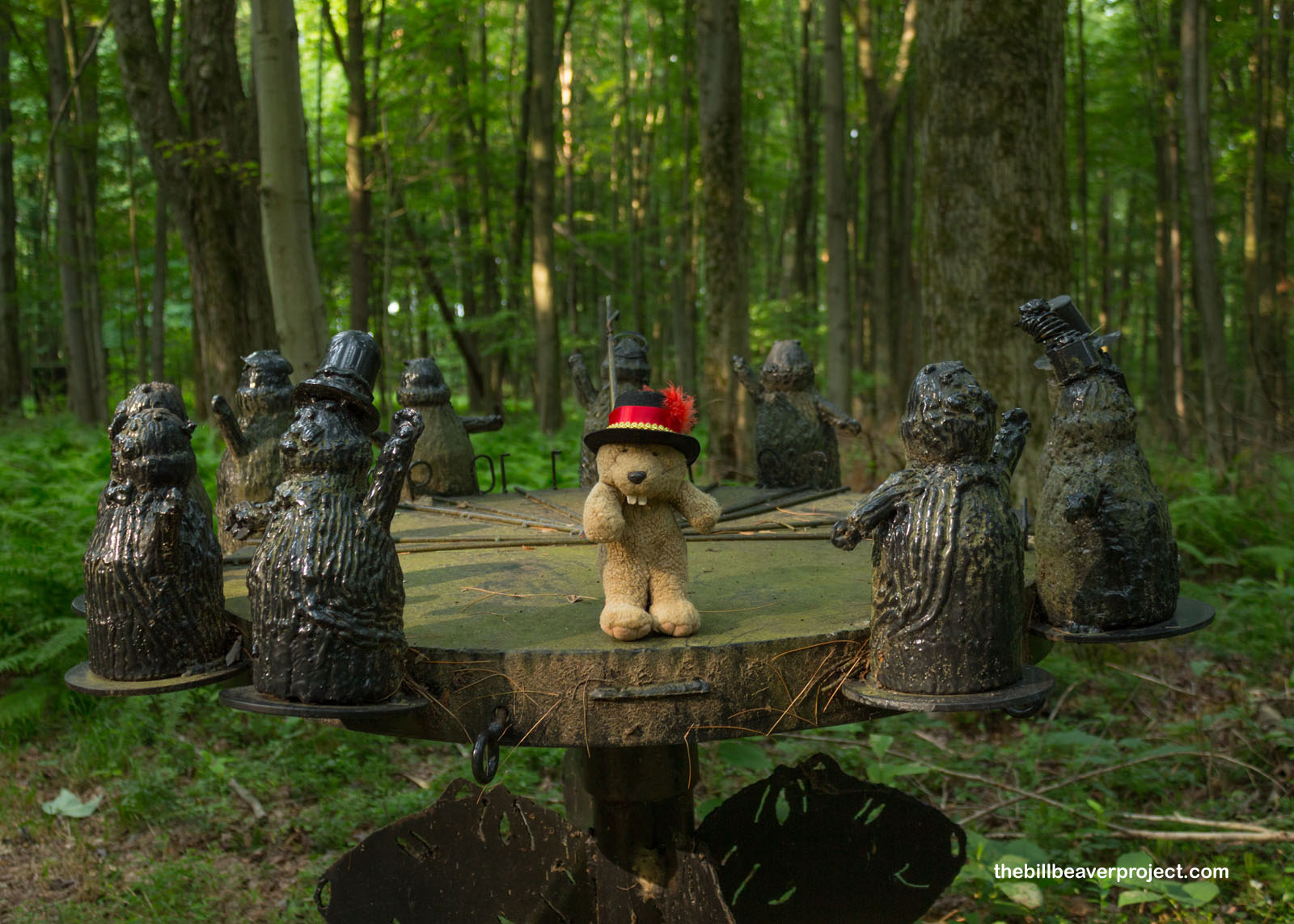 |
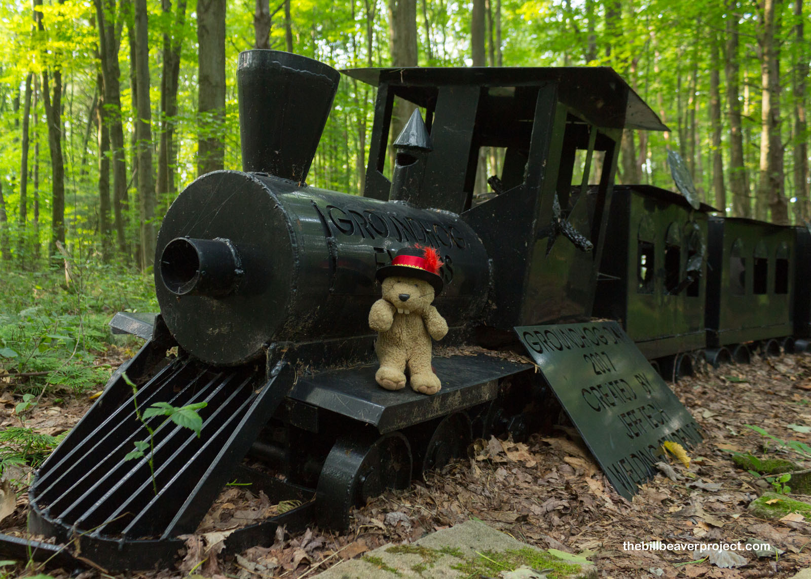
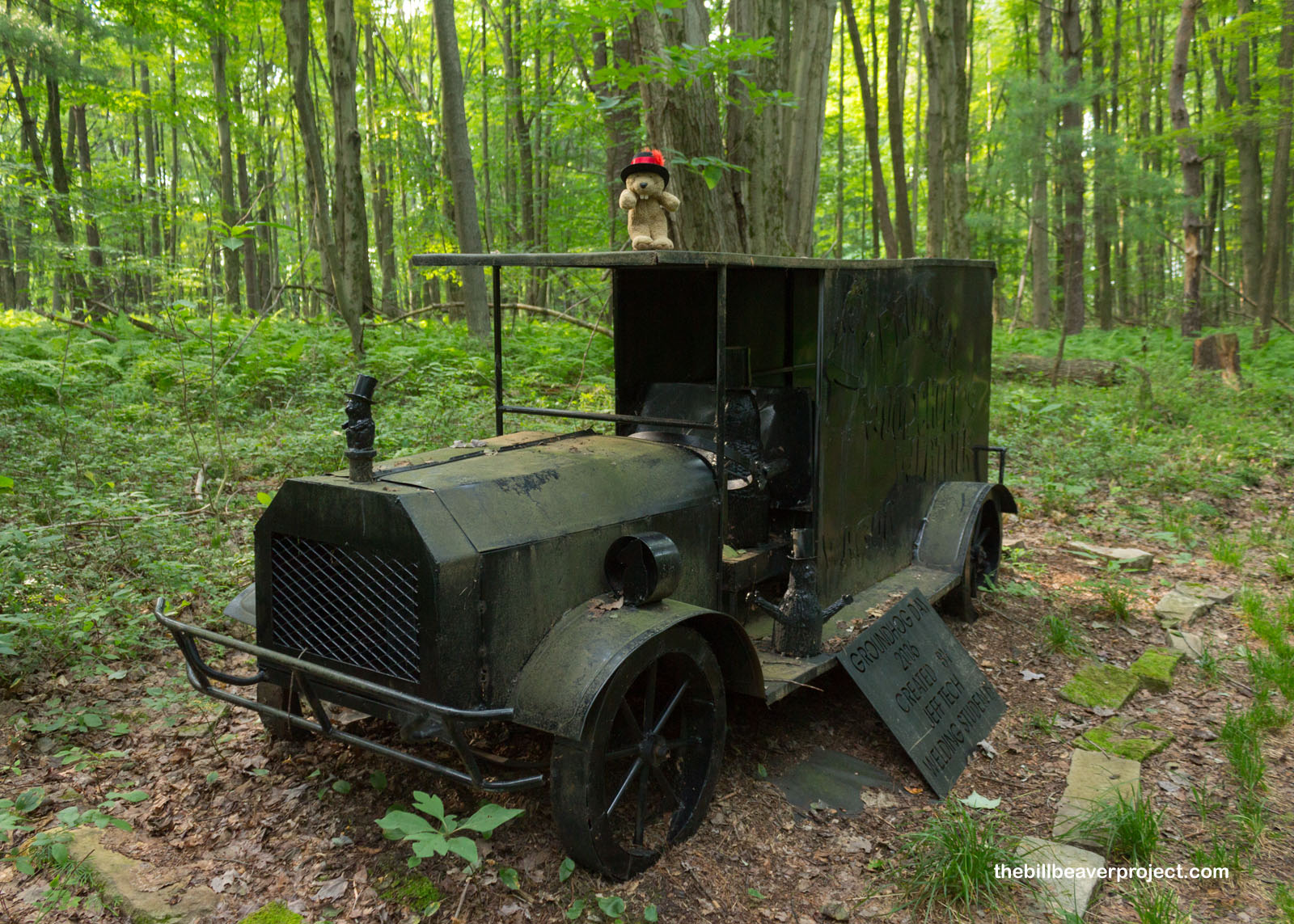
The nature trail around Gobbler’s Knob featured neat metal art by local students and some of the history of Groundhog Day! Brought to the USA by German settlers (Pennsylvania Deutsch, anyone?), the Candlemas tradition and its new mascot, the groundhog, first appeared in the local newspaper, the Punxsutawney Spirit, in 1886. By the following year, Punxsutawney Phil was unveiled to the world!
 |
 |
At the end of the loop trail, I found the grand stage where Punxsutawney Phil, the Prognosticator of Prognosticators, emerges on the morning of February 2 to tell the world what they can expect from the next six weeks! It’s a big to-do with up to 40,000 attendees! Here, the Groundhog Club’s inner circle speak in Groundhogese and read proclamations before removing Phil from his burrow and feeding him the elixir of life, which is rumored to have sustained him for all this time!
 |
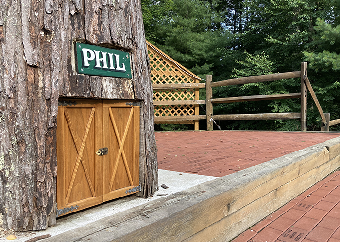
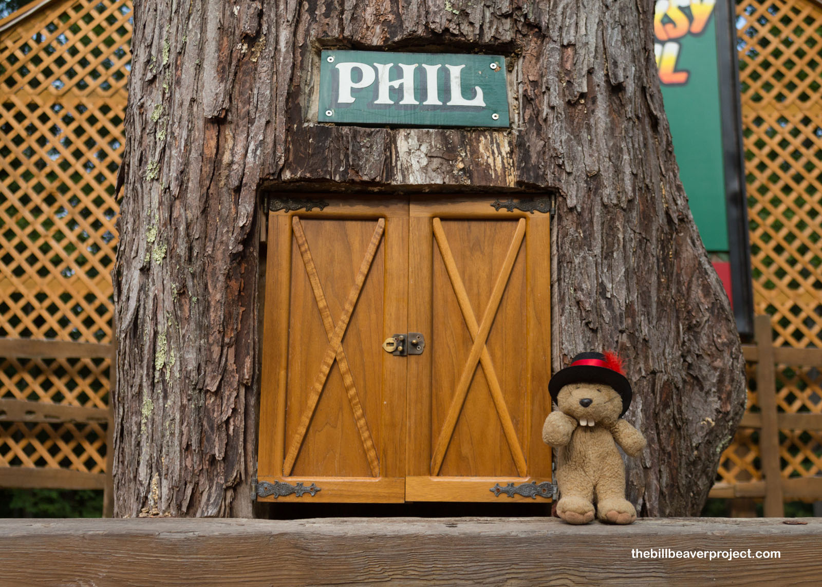
I, for one, wanted to meet this storied fellow, so I went up and gave his door a gentle knock. No one answered! That got me wondering. Maybe Phil had gone into town for shopping purposes. It was time to descend from Gobbler’s Knob and meet the elusive groundhog, whiskers to whiskers!
 |
Punxsutawney is actually an Anglicization of a Lenape term, Punkwsutènay, which translates to “town of mosquitoes!” The Lenape arrived here in 1772 after being kicked out of their native New Jersey and brought here with Moravian missionary, Reverend John Ettwein. While the flies eventually drove away these early arrivals, the village we now call Punxsutawney was recorded with this name as early as 1818!
 |
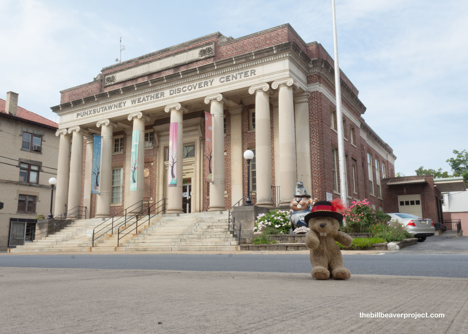
Today, Punxsutawney hails itself as the Weather Capital of the World, thanks to Phil, and it has a Weather Discovery Center, where groundhog fans can learn about wild weather patterns, folklore, and ways to forecast! It’s built into a Nationally Registered, Neo Classical Revival, United States Post Office building!
 |
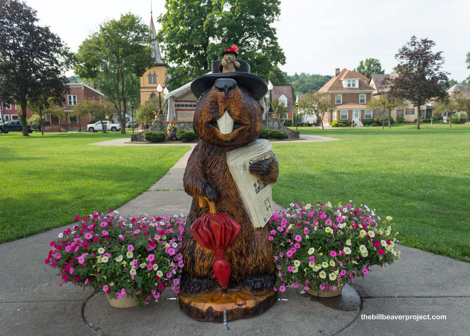
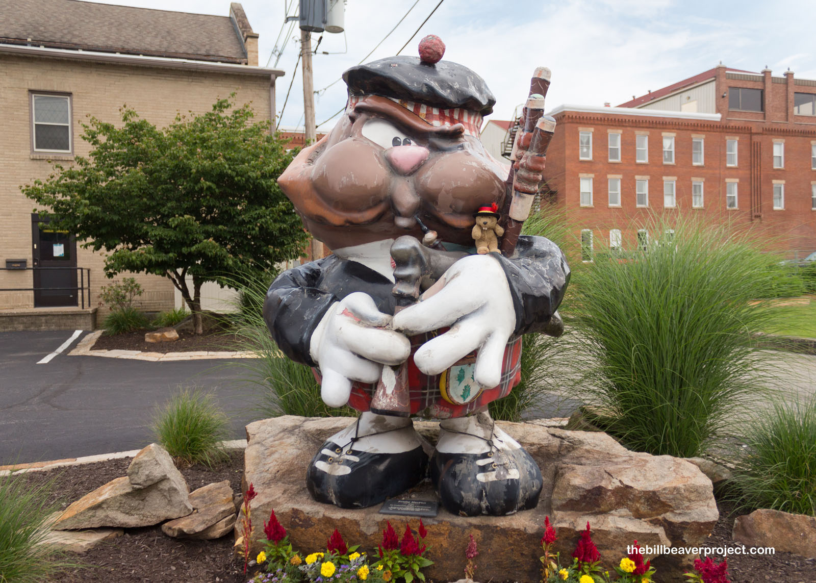
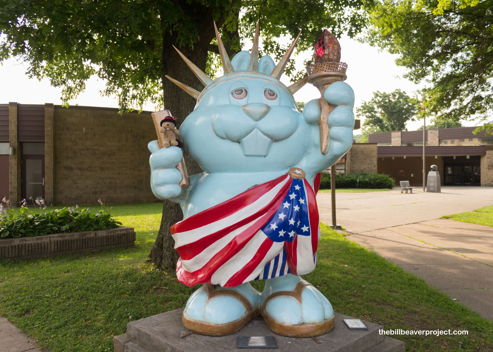
Anyway, back to my search for Phil, I didn’t find him in any shops, but I sure did find his likeness all around town! There were so many jumbo groundhogs, depicting what I can only imagine were Phil’s many adventures over the years! The Phantastic Phils program, run by the Punxsutawney Chamber of Commerce, featured such fiberglass masterpieces as Presby McPhil and Freedom Phil by Jeff Marshall! I decided to follow these great works to their originator!
 |
 |
Sure enough, I found Phil’s burrow, the real one, on the west side of the Punxsutawney Memorial Library! It turns out that he lives here year-round with his wife, Phyllis, and only goes to Gobbler’s Knob on the day that carries his name! I wondered if Phyllis ever got to participate…
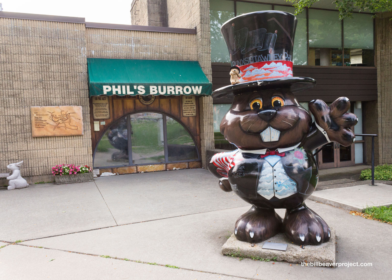 |
I wasn’t able to find out, because, while I did get a close-up view of the legendary Phil himself, the glass was far too thick to have a conversation! He looked pretty good for a 134-year old groundhog! I could probably have learned a thing or two from him, but I had to settle for some hand gestures and waves that didn’t quite get the job done. His schedule also didn’t leave much room for visitors. That meant I had to continue on to my next destination, which was not as old or as cuddly, but well worth discussing.
 |
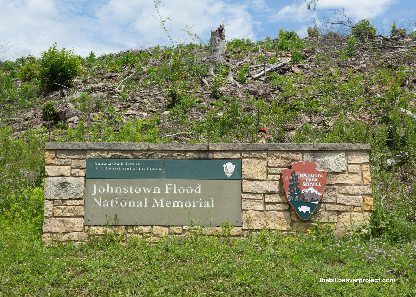
That site, about 58 miles south of Punxsutawney, was the Johnstown Flood National Memorial, home to one of America’s worst, but less discussed, engineering disasters!
 |
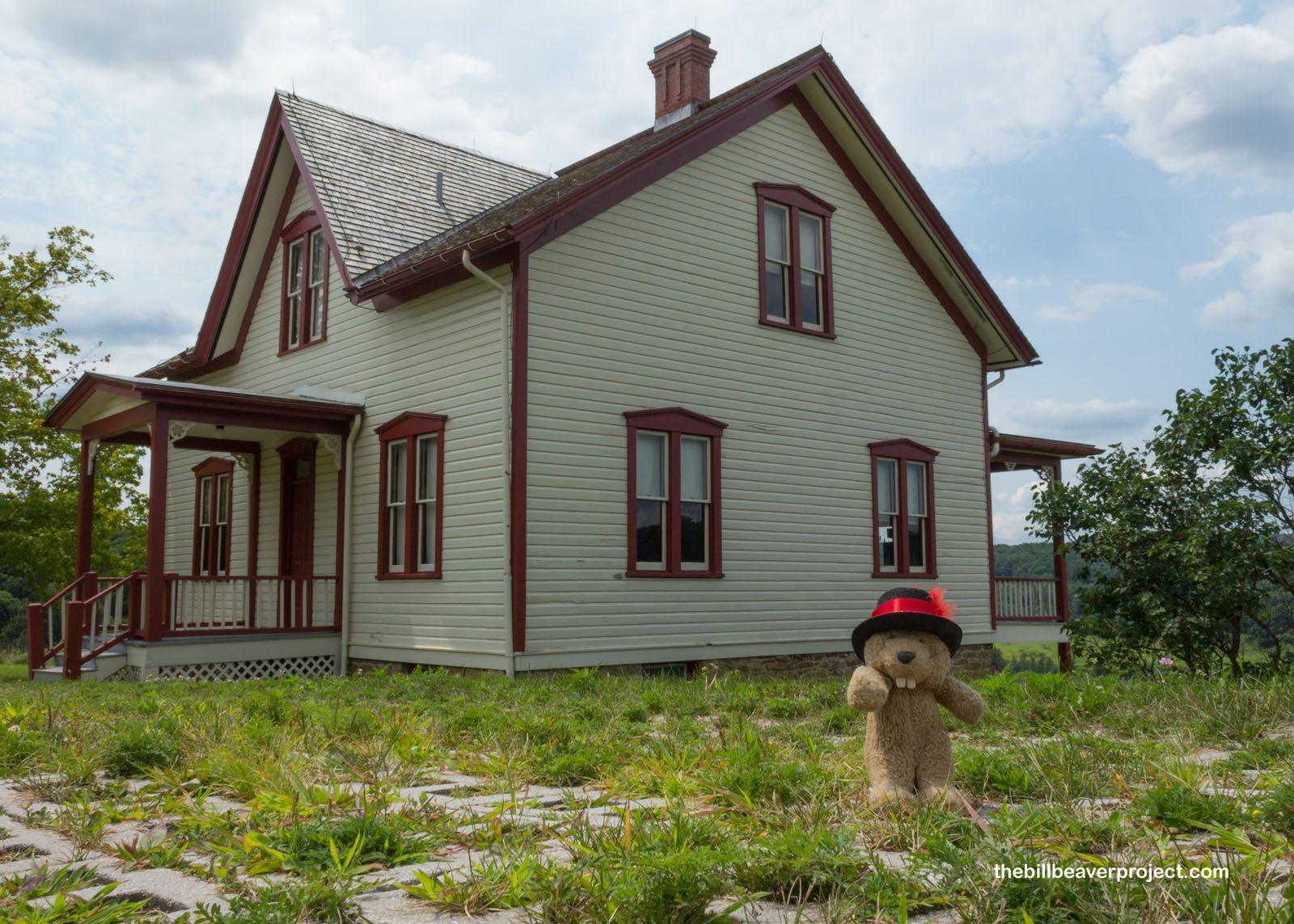
From the visitor center, I gazed out over what looked like a peaceful valley, but on May 31, 1889, it was the exact opposite. That’s when heavy rains overwhelmed the spillways on the South Fork Dam, causing it to erode away, sending the entirety of Lake Conemaugh, about 635 million gallons, blasting downriver toward Johnstown!
 |
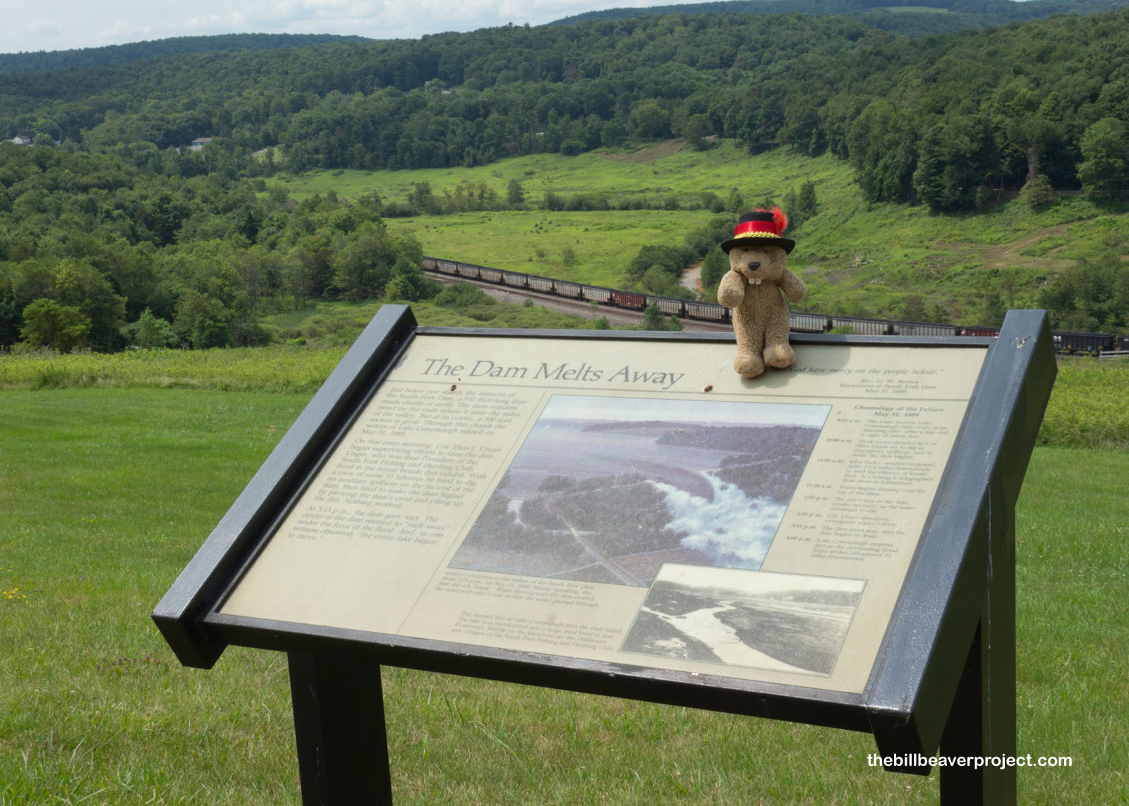 |
Let’s compare that to the St. Francis Dam disaster in California, now also a national memorial. While the 12 billion gallons of water that escaped the St. Francis Dam in 1928 eclipsed the 635 million gallons that hit Johnstown, rupture of the South Fork Dam was actually heaps deadlier. That’s because the Santa Clarita Valley of 1928 was sparsely populated farmland, while Johnstown, PA was a bustling steel town of 30,000. 450 farm folk died in the St. Francis Dam disaster; 2,209 died in the Johnstown flood! For both the concrete St. Francis Dam and the earthen South Fork Dam, the cause of collapse can be traced right back to poor planning and poor maintenance!
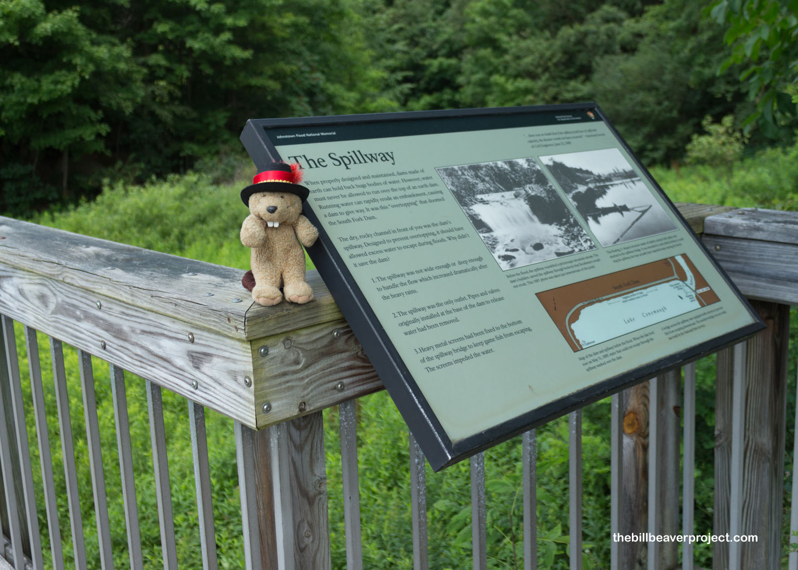 |
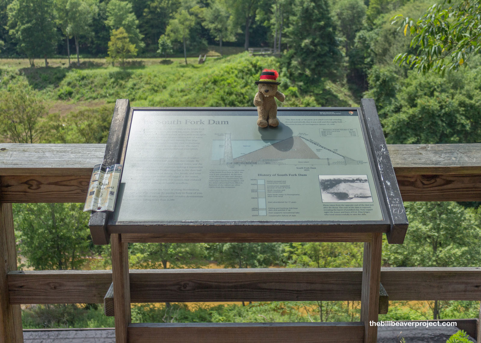
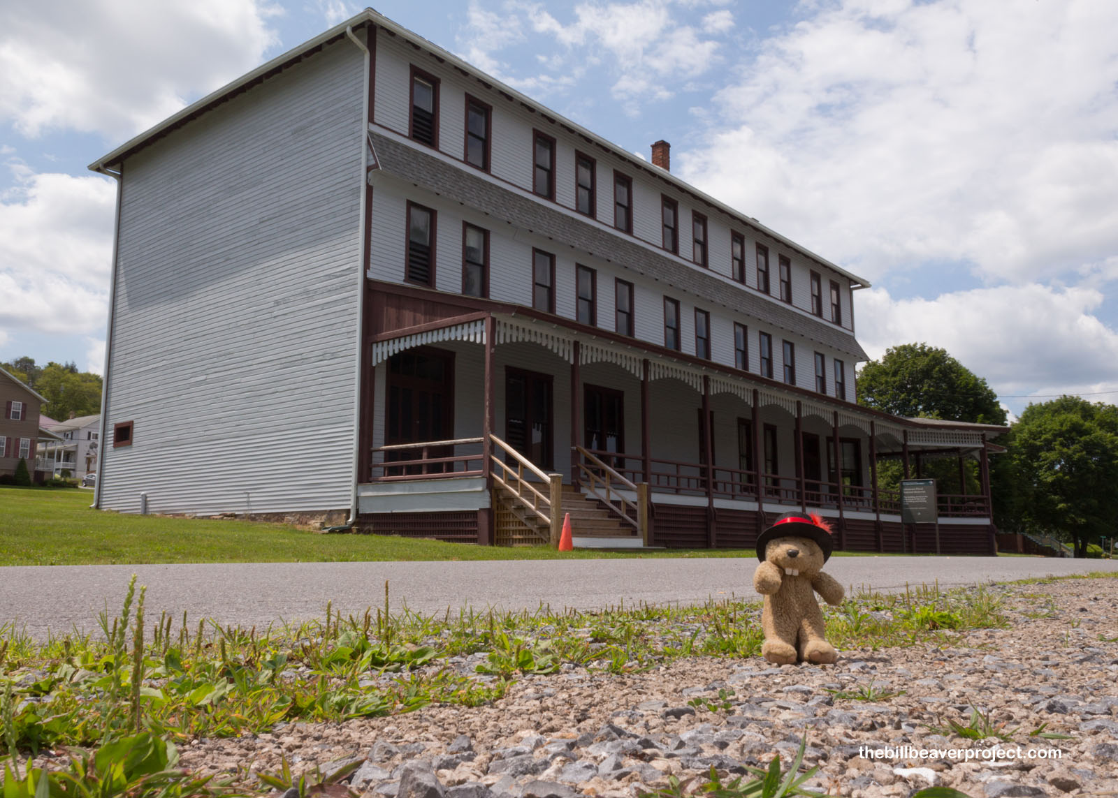
Construction of the South Fork Dam was off and on between 1840 and 1851, and those pauses left structural weaknesses in the dam, which failed for the first time in 1847 and again in 1862. Congressman John Reilly bought the dam in 1875 and had five sluice pipes removed from its base, which made the dam more top-heavy. He then sold it in 1879 to Benjamin Ruff of the South Fork Fishing and Hunting Club, who stocked Lake Conemaugh with black bass imported from Lake Erie, lowered the dam and installed fish screens, which meant the only place for excess water to escape would be over the top. It turned out that, once the top of an earthen dam is breached by flowing water, it dissolves like sugar!
 |
 |
It was a good ten years for the South Fork Fishing and Hunting Club, but let’s just say, after losing an entire lake and all of its fish, there was little left for them to do. Today, their remaining cottages and clubhouse are listed on the National Register, and the Memorial offers tours of the facilities! As you might expect, I didn’t have time for a full tour, because more disasters awaited me in the next county of Somerset.
 |
Here, in a field near Stoystown, one of the horrors of September 11, 2001 took place: the fall of Flight 93, now a national memorial. Like the memorial for the bombing of the Alfred P. Murrah Federal Building, it was eerie walking into a historic disaster that had happened in my own lifetime.
 |
Between 8:00 AM and 9:00 AM eastern, on September 11, four flights to California took off from the East Coast. The two from Boston would slam into the Twin Towers, and the flight from Washington, DC would crash into the Pentagon. There is a cluster of miscommunications, including sending up fighter jets who were not informed of the hijackings and some erroneous reports of bombings on the ground. Meanwhile, the fourth flight, United 93, was just crossing over Cleveland.
 |
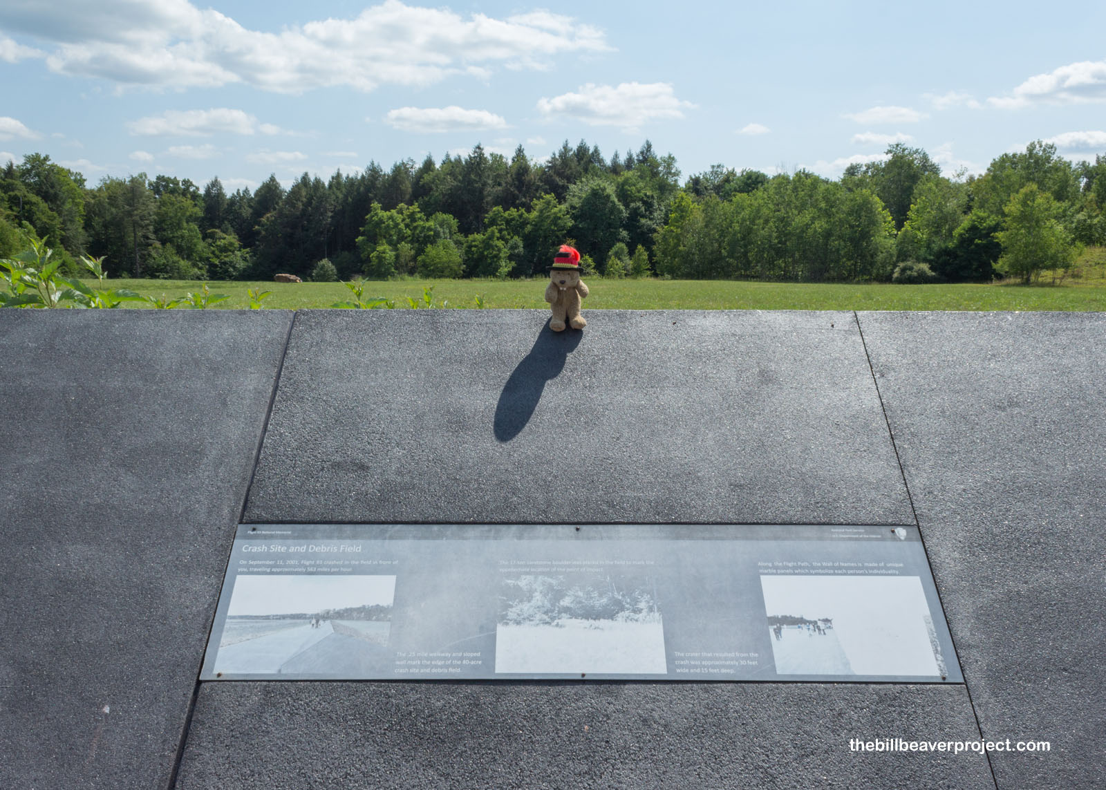
Half full, with half the passengers rescheduled from other flights, Flight 93 changed course at 9:34 AM as hijackers took over the plane. Four minutes earlier, President Bush had addressed the nation about the national tragedy; three minutes later, the third plane would crash into the Pentagon. Flight 93’s target would be the US Capitol, but it would never get there. That’s because at 9:57, the passengers of Flight 93 rushed the cabin and fought for control of the plane for six minutes. At 10:03 AM, Flight 93 crashed into this field, now marked by a boulder, which you can see in the top left of the photo.
 |
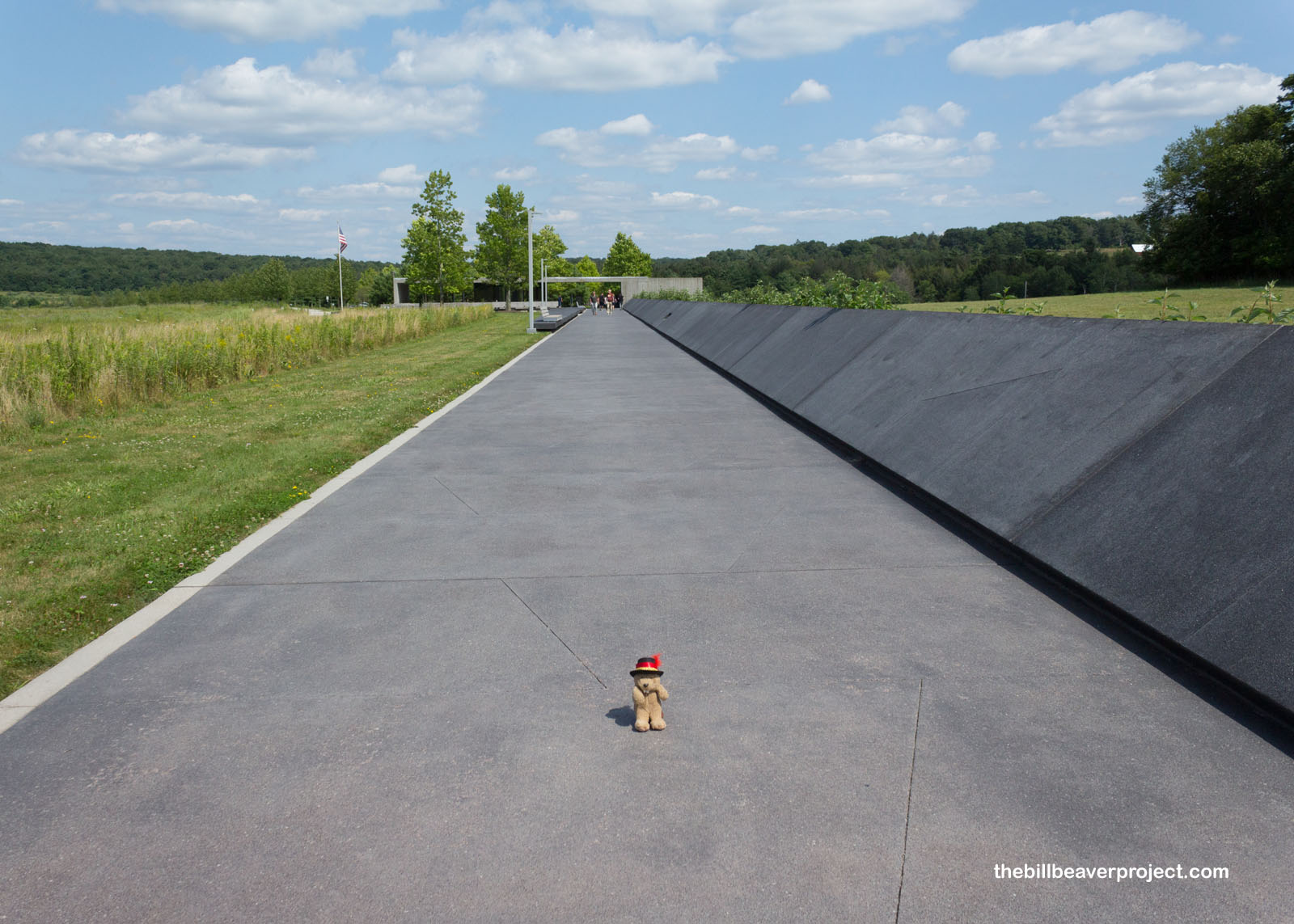
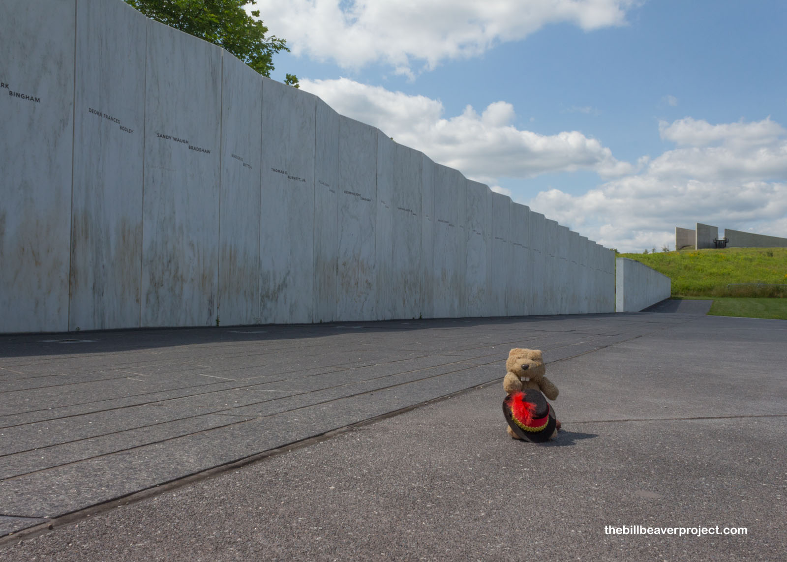
All lives aboard were lost in the crash. The memorial walkway circles around to the Wall of Names, which honors them in marble. Like many memorials, this one is sad on its own, but what sets apart this memorial, and others from modern disasters, are the ghost voices left behind. In Oklahoma City, there were the recordings of government meetings before the blast. Here, the last cries of the passengers were preserved by the cockpit voice recorder. I think it’s those voices that make this disaster feel so much more immediate and deeply sad.
 |
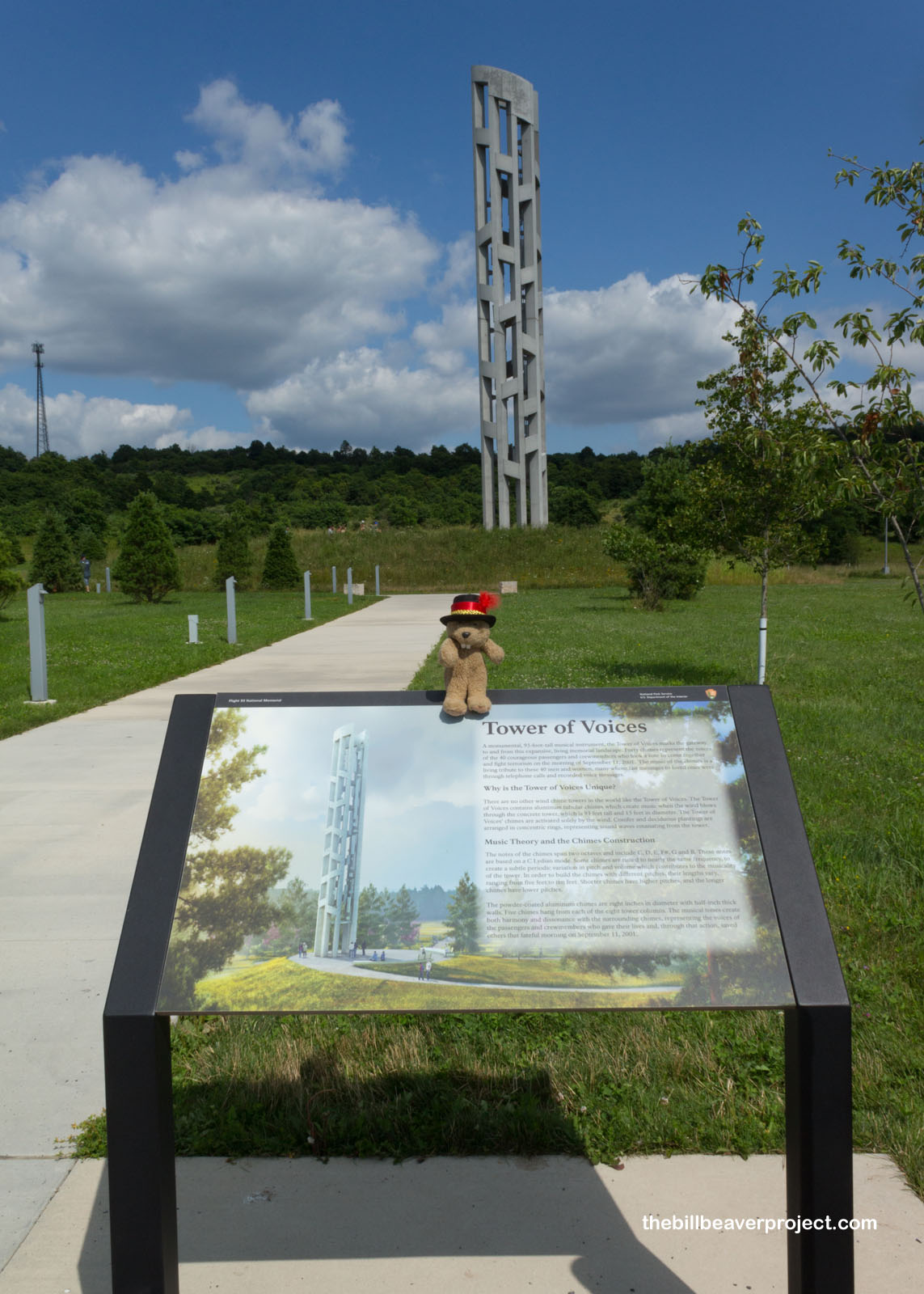
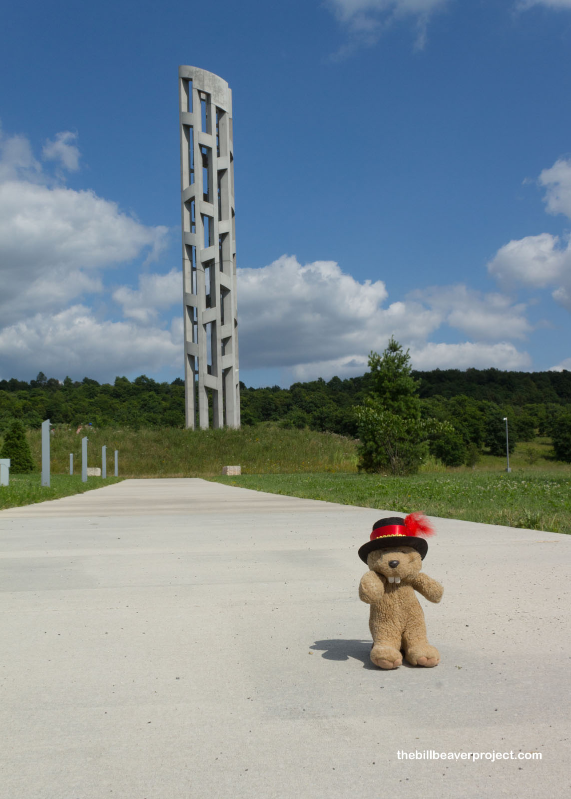
These voices are remembered at the Tower of Voices, just up the road. While it doesn’t play the recordings, it is a 93-foot tall tower with 40 wind chimes, one for each passenger. It was a feat of musical engineering, crafting so many chimes to be both fully unique and fully harmonious with each other. Only around since September 2020, this tower now sings for those who fell in this field almost twenty years ago.
 |
 |
So, what started as a light and whimsical day in Punxsutawney concluded with some sad reflections further south, but that’s the nature of history. Like life, it’s not all happy or sad, but it’s good to know the stories, no matter how they make you feel. I’m at least happy that tomorrow, I will be exploring a museum I’ve wanted to see for a long time, so I’ll keep my thoughts there for now.
See ya in Pittsburgh!

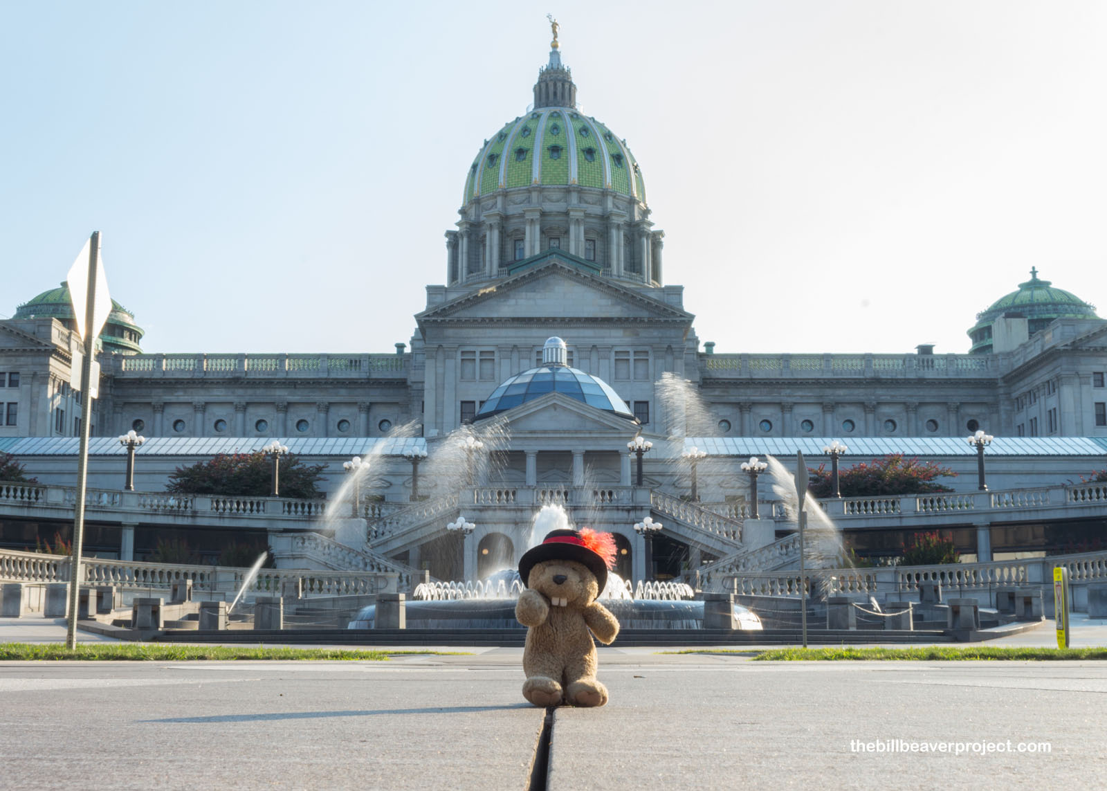
P.S. I maxed out my daylight and drove to see the Pennsylvania State Capitol in Harrisburg! I’d actually been here before in 2018, but I’d ended up deleting the photos off my memory card! On the bright side (literally), this time I was here in the daylight and facing the much more spectacular entrance! 26 capitols down! I’m over the hump, or dome, as it were!
 |
 Last Leg |
Total Ground Covered:* 874.0 mi (1,406.6 km) *This includes my 108-mile drive from Cleveland to Pittsburgh, which I didn’t blog about. |
 Next Day |
