 Previous Day |
Pretoria, SA → Royal Natale National Park → Johannesburg, SA 816.0 km (507.0 mi) |
 Trip Conclusion |
Mmorong ba moreneng!
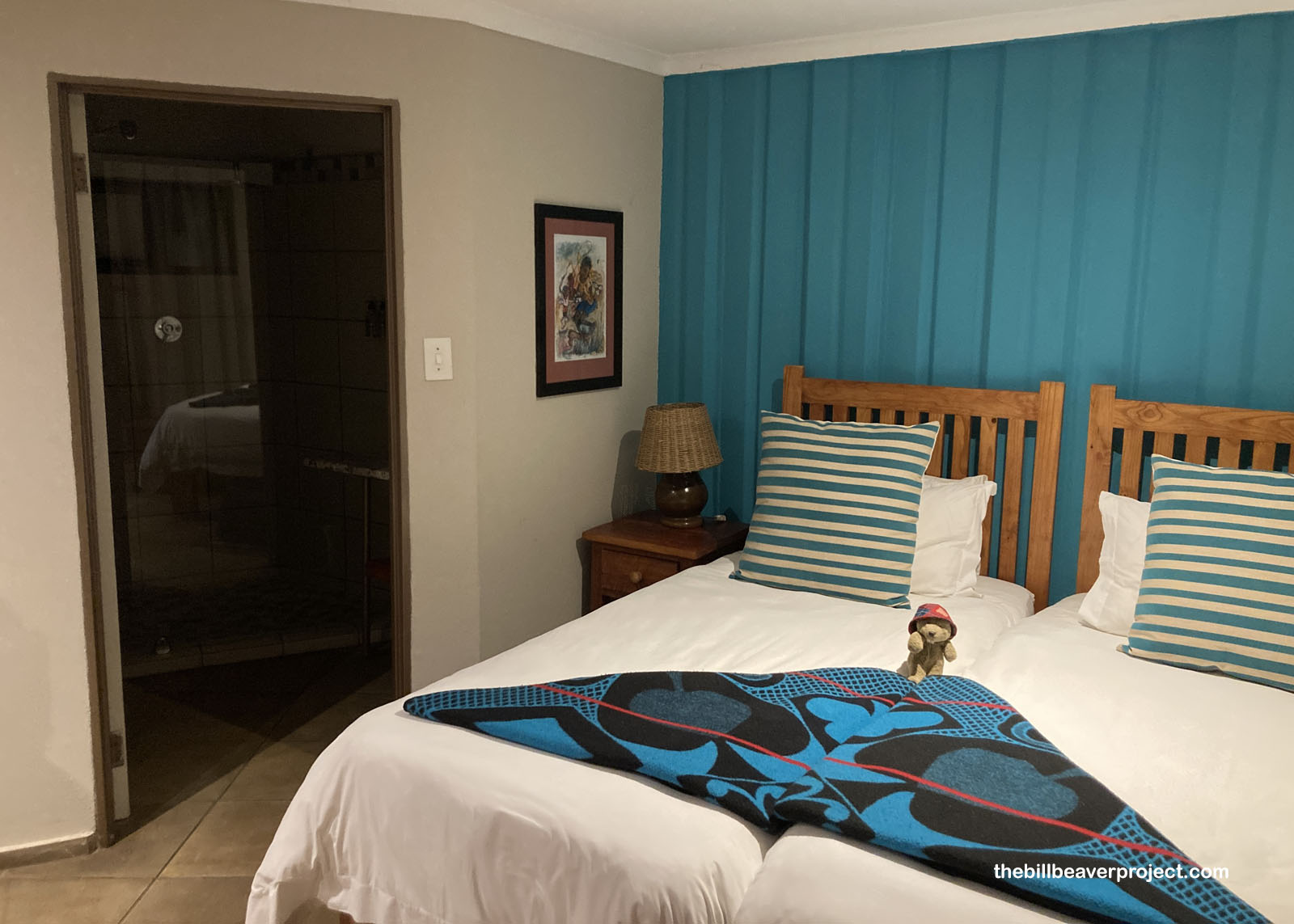
It’s the grand finale of an African adventure! Yesterday, Buzz and I road-tripped all the way down to the mountain town of Clarens to see some ancient rock art, then angled east through the spectacular towering cliffs of Golden Gate Highlands National Park until we alighted at the high-altitude retreat known as Witsieshoek Mountain Lodge! From Room 1 (Maluti), we charged up for what their website proclaimed as “one of the most epic day hikes in the world!”
 |
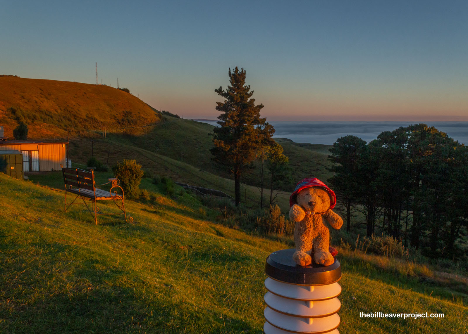
Naturally, to begin such an epic hike, we were up with the sunrise in order to get breakfast and make our 7:45 AM shuttle. The road to the Sentinel Car Park is super rugged and requires the kind of 4×4 setup our car just didn’t have, but being up this early gave great views of the big red beyond and the blanket of clouds covering the landscape well below our altitude!
 |
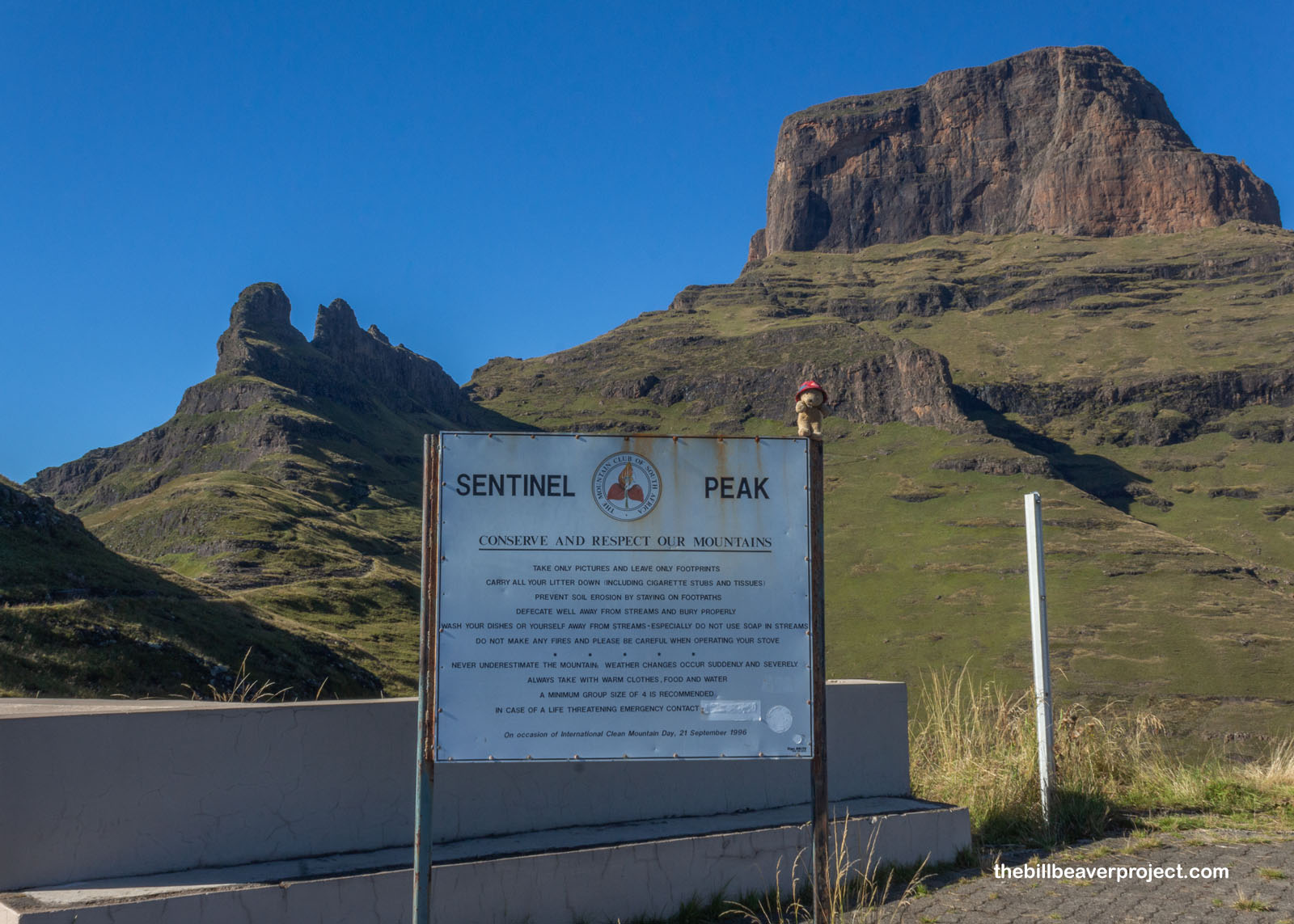
Full up on fruit and rusks, we made the bouncy, muddy journey to the base of Sentinel Peak, a towering monolith that gave its name to the lot, the trail, and this area of Royal Natal National Park, but was not even close to our destination: Tugela Falls, once the highest in the world before Angel Falls was measured in Venezuela! South Africa hasn’t decorated the entrances to many of its national parks the same way as in the USA. This sign gave advice on keeping the trail clean but also warned visitors to travel in groups of at least 4 and in case of emergency call… a number that was blotted out! Well, our group was smaller than 4, but ours also wasn’t the only group on the shuttle. We were probably going to be just fine!
 |
The 12-kilometer trail kicked off as a gentle, paved sidewalk, introducing us to the grassy slopes of the Drakensbergs that make them home to all kinds of antelope and Chacma baboons like I saw at at Victoria Falls a few days ago. Feeling safer from monkey business with a hiking buddy, I turned my eyes on the skies for a sighting of a rare lammergeier, or bearded vulture, one of the only animals on Earth that eats mostly bones!
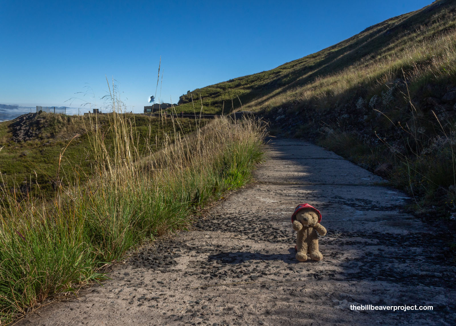 |
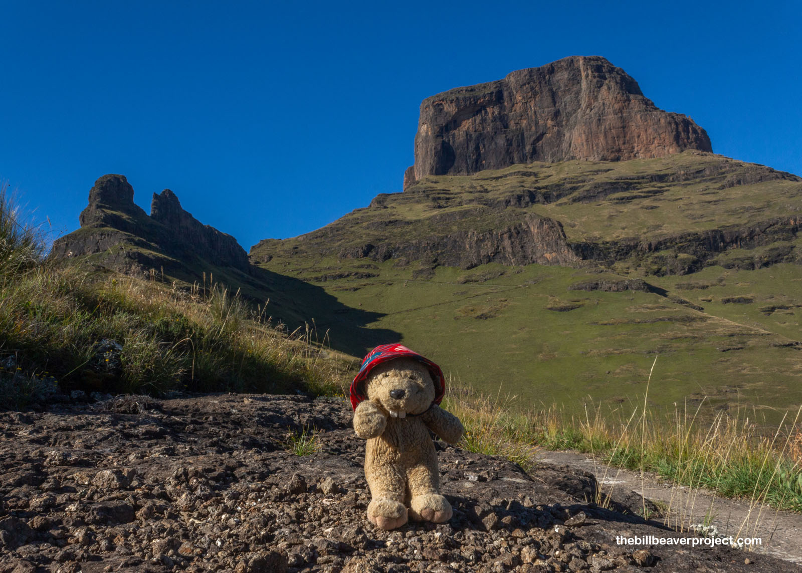
While I didn’t see any lammergeiers when I looked up, the trail did give us a pretty swell view of Sentinel Peak! While our path would be skirting the front of this peak, we were still going to go up a thousand meters (3,280 feet) from trailhead to Tugela, a stone’s throw from the border of Lesotho, the tiny mountain nation completely surrounded by South Africa!
 |
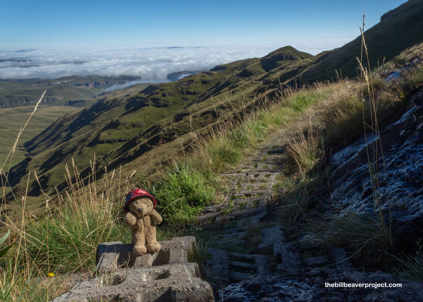
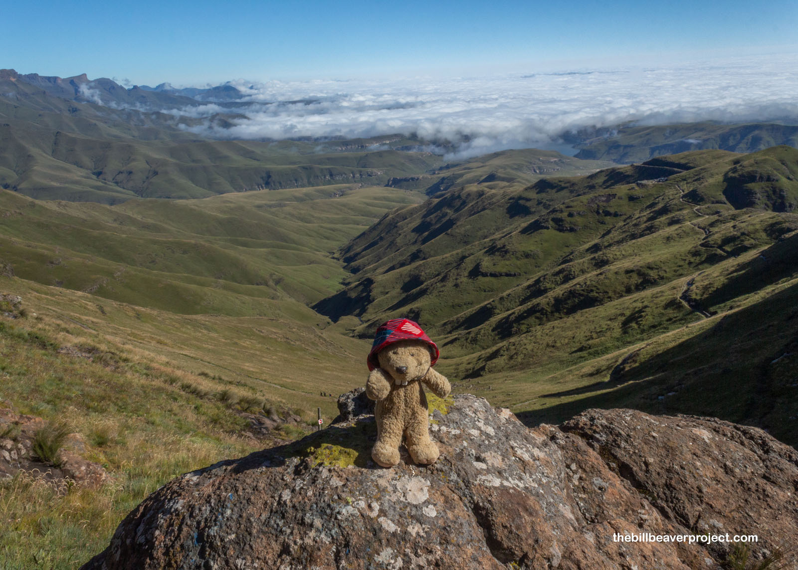
The cement trail gradually evolved into pavers, which were a little wobbly but as I understood it, the gaps between them helps storm water absorb into the soil, reducing erosion so the trail requires less maintenance each season. It made for unusual stepping, but it didn’t detract from every angle being a new amazing view!
 |
 |
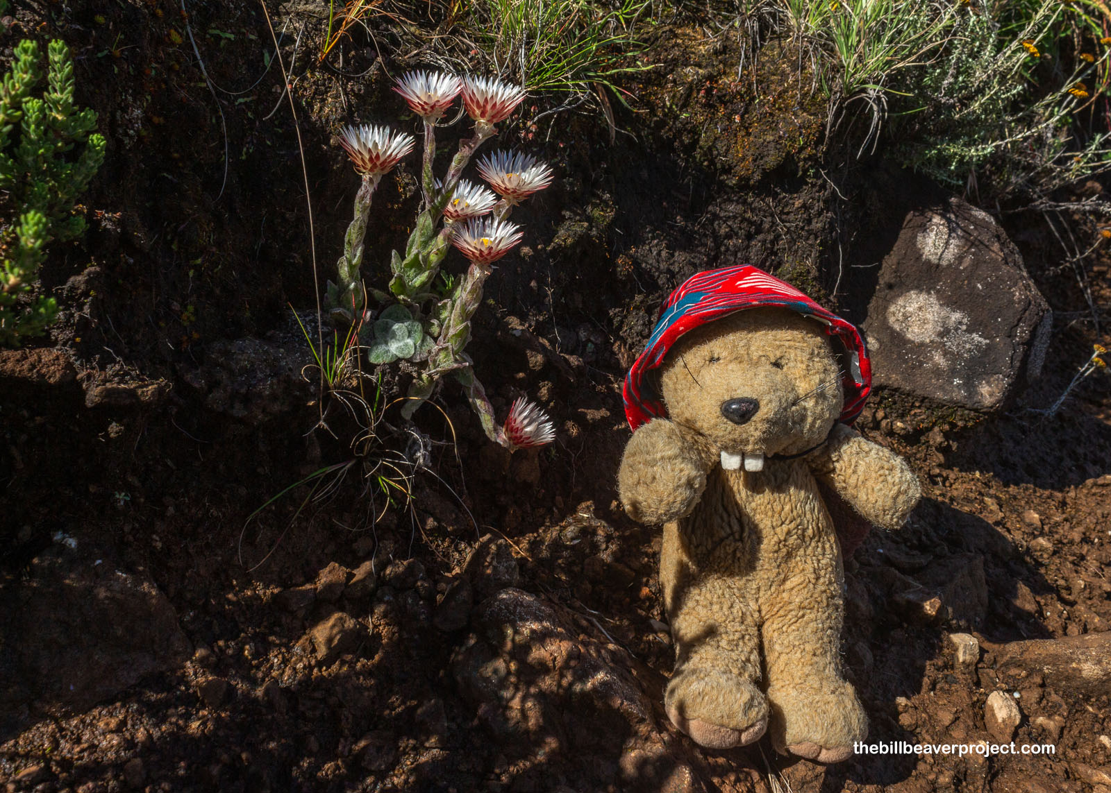
Oh! And while the high cliffs and vast vistas were spectacular, you know full well I couldn’t pass up the little gems of the Drakensbergs! These enchanting little flowers have an equally magical name: Fairy Everlasting (Helichrysum adenocarpum), and believe it or not, they’re related to sunflowers! Also known as senkotoana in Sesotho, these neat little herbs flower most of the year, and those who are in the know, who really have to go, can use them to treat the runs!
 |
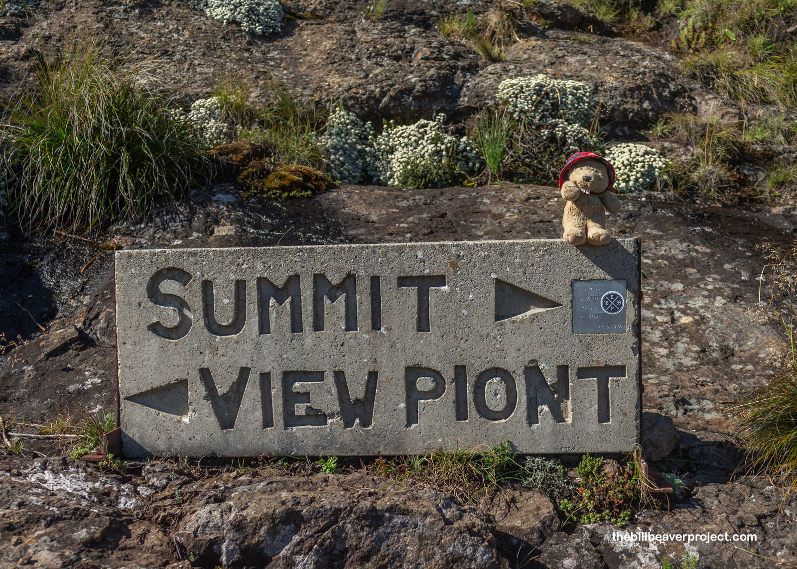
About 2 kilometers into the hike, we faced a choice: go right to the summit, or left to view “piont.” Neither of us knew how to view a piont, but we both agreed it would be better to check out on the way back down from the falls. In the mountains, a clear morning can turn into a stormy afternoon pretty quickly!
 |
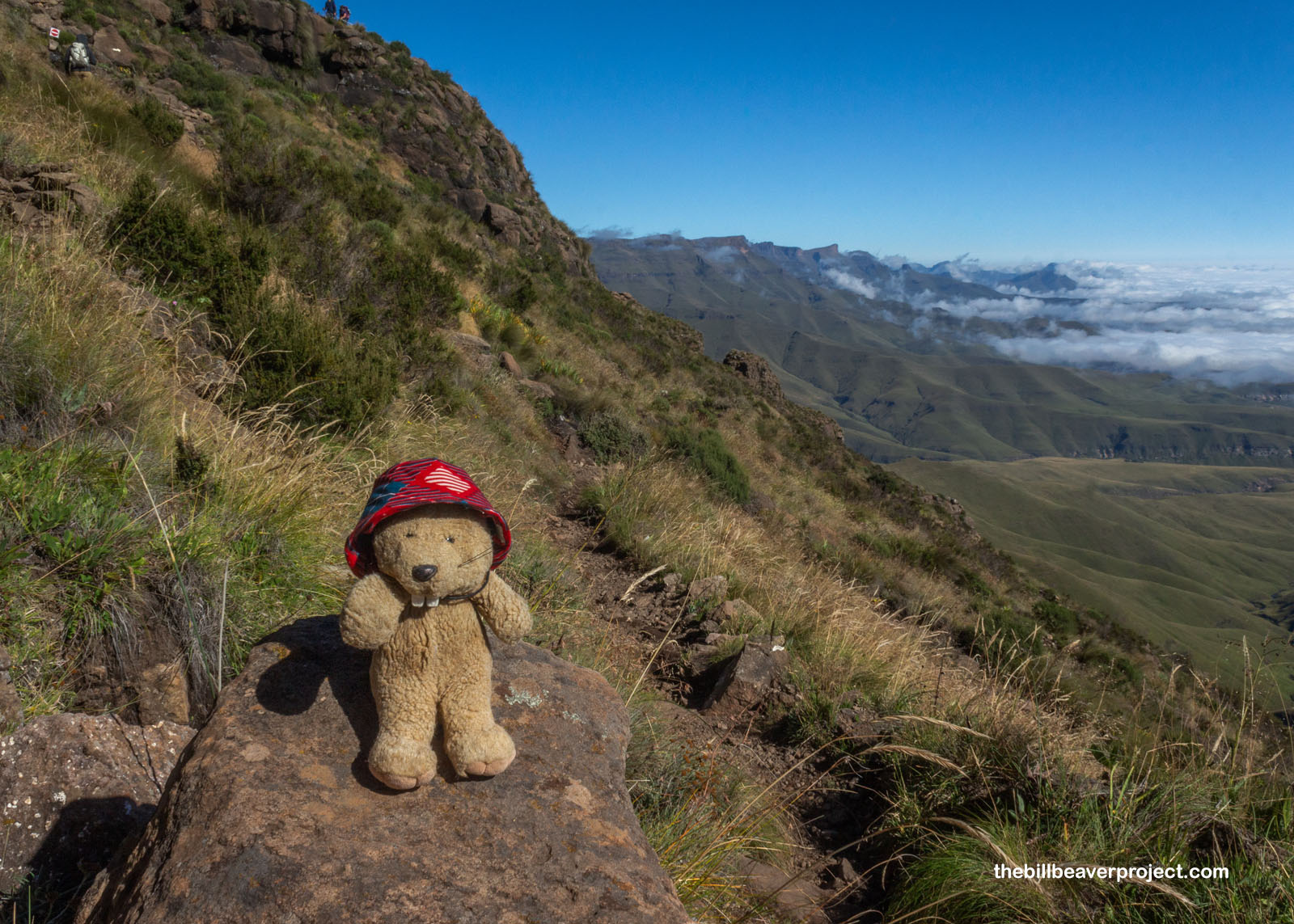
As we kept on, the pavers gave way to more traditional trail, which started to get steeper and steeper as we began to skirt the cliffs we would eventually be climbing. The clouds were still beneath us, and while we passed several large groups of hikers, there was still no sign of a lammergeier!
 |
About 3.5 kilometers into the hike, we were presented with another choice! Either, we could continue on to the chain ladders straight up the cliff, or we could turn left and go up the Beacon Buttress Gully. Rumor had it that the gully route was actually more difficult and harder on the knees. Plus, what could be more epic than climbing a ladder straight up a cliff? We kept on!
 |
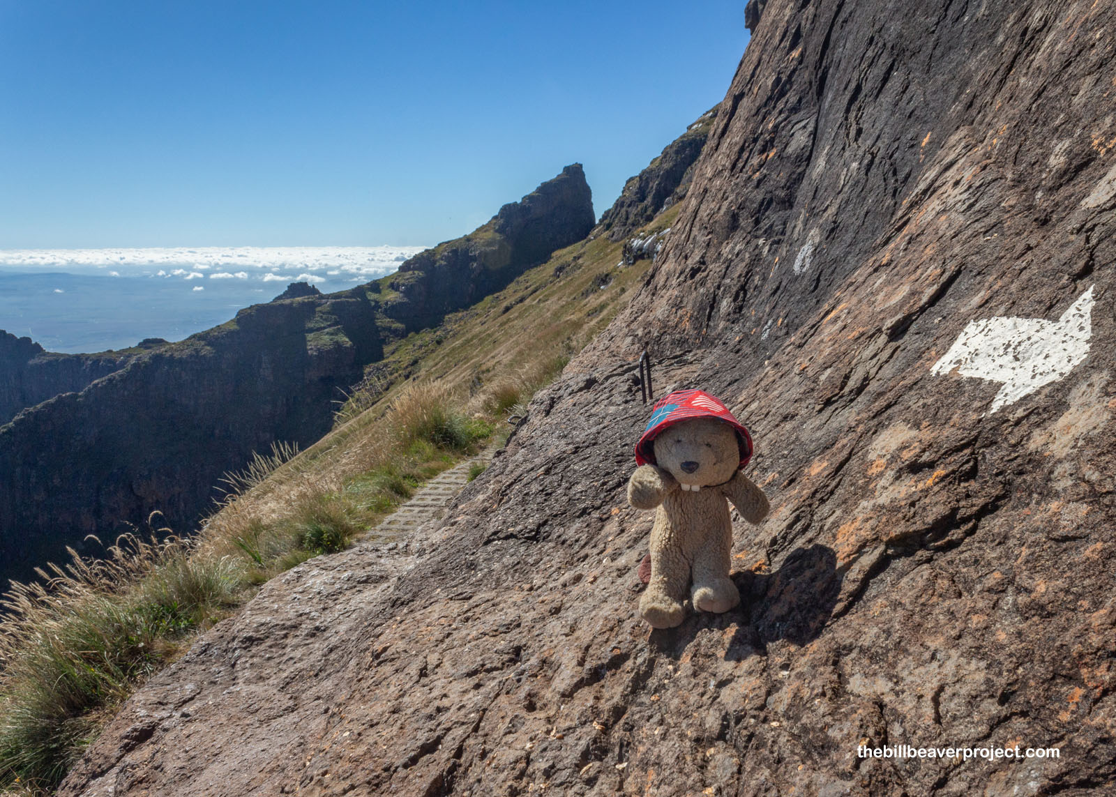
The trail got even rockier as we met the bottom of the cliffs, and white arrows started to mark our path up solid rock, just like on El Camino! This part came with metal handholds, kind of like a training route for what was to come. That part really reminded me of the Beehive hike in Acadia National Park too!
 |
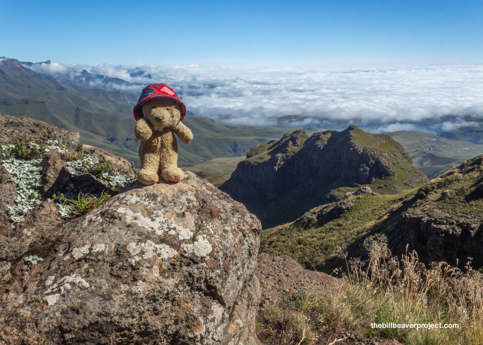
Wow… It just kept getting prettier and prettier! The clouds below weren’t dissipating at all, so you’d never know that there was an entire town of Phuthaditjhaba right beneath it! I also had to take a moment and marvel at the lichen on this rock. How can lichen look so similar on rocks all across the world? I don’t know, but I’m lichen it!
 |
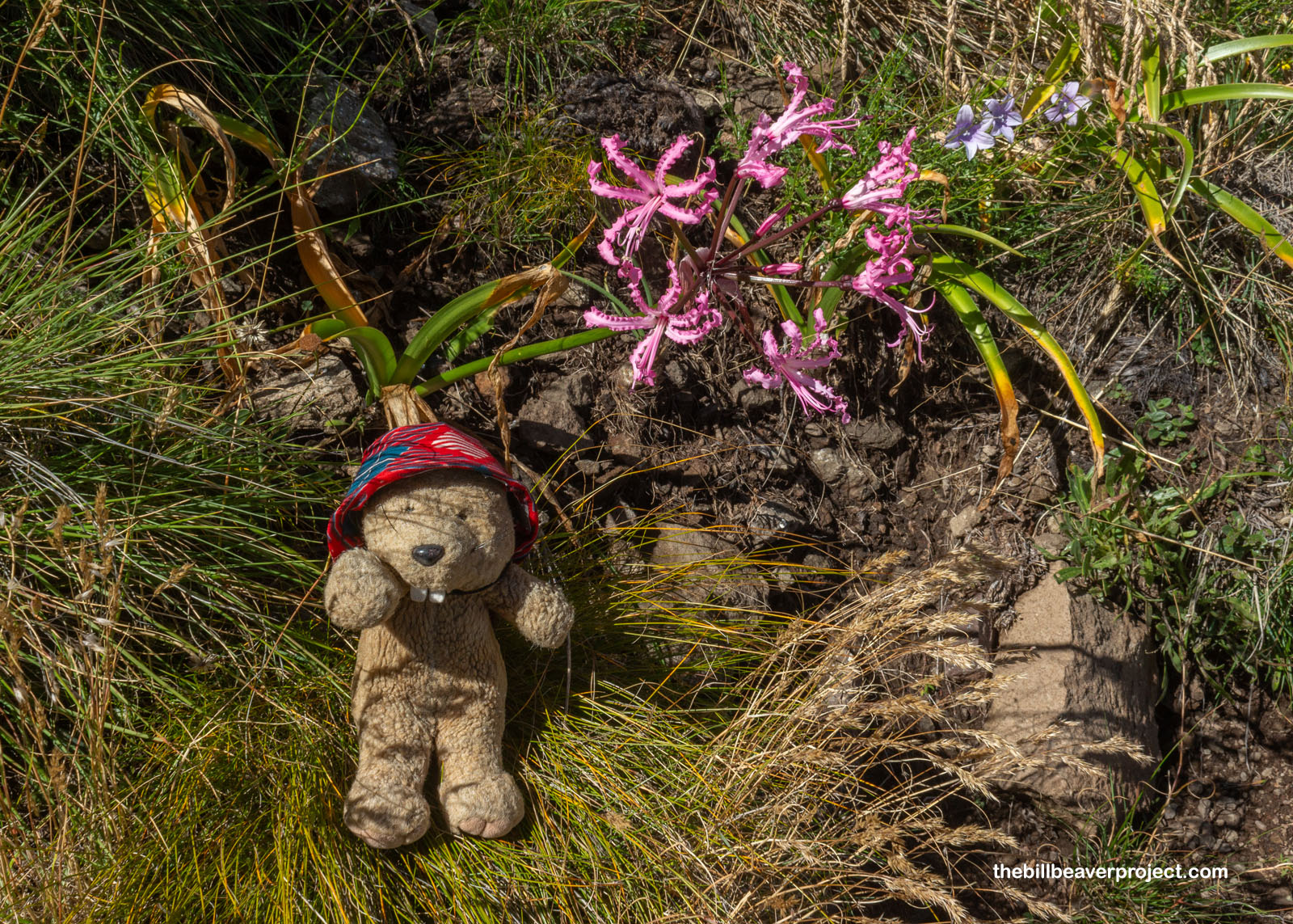
More unique flowers kept popping up too! This is called a Cape flower or Bowden lily (Nerine bowdenii), though it’s not really a lily at all! It’s more closely related to the Amaryllis, like the ones you’d see for sale in winter, and sure enough, this pink beauty was a reminder that it was autumn in April down here in South Africa! Able to withstand temperatures as low as 5°F (-15°C), it doesn’t start flowering until late summer into fall!
 |
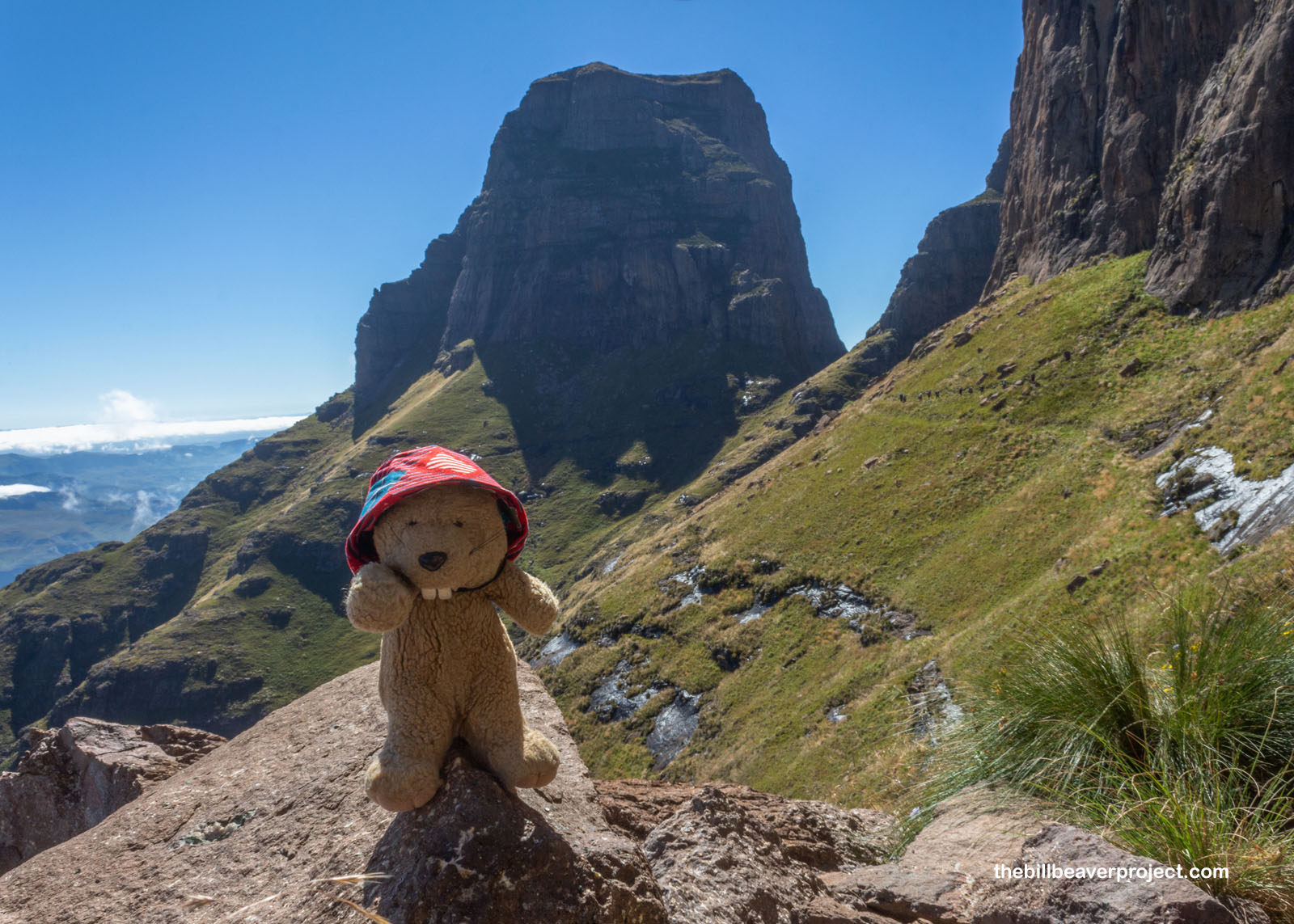
The trail rocked and rolled all along the base of some massive cliffs, and all the while, we were wondering what it would be like to finally reach the famous chain ladders and whether they would be fun or scary.
 |
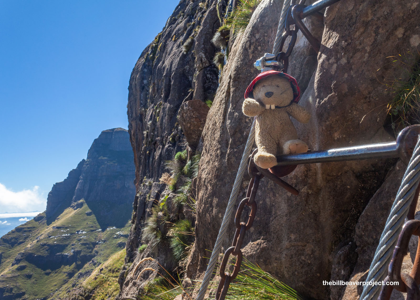
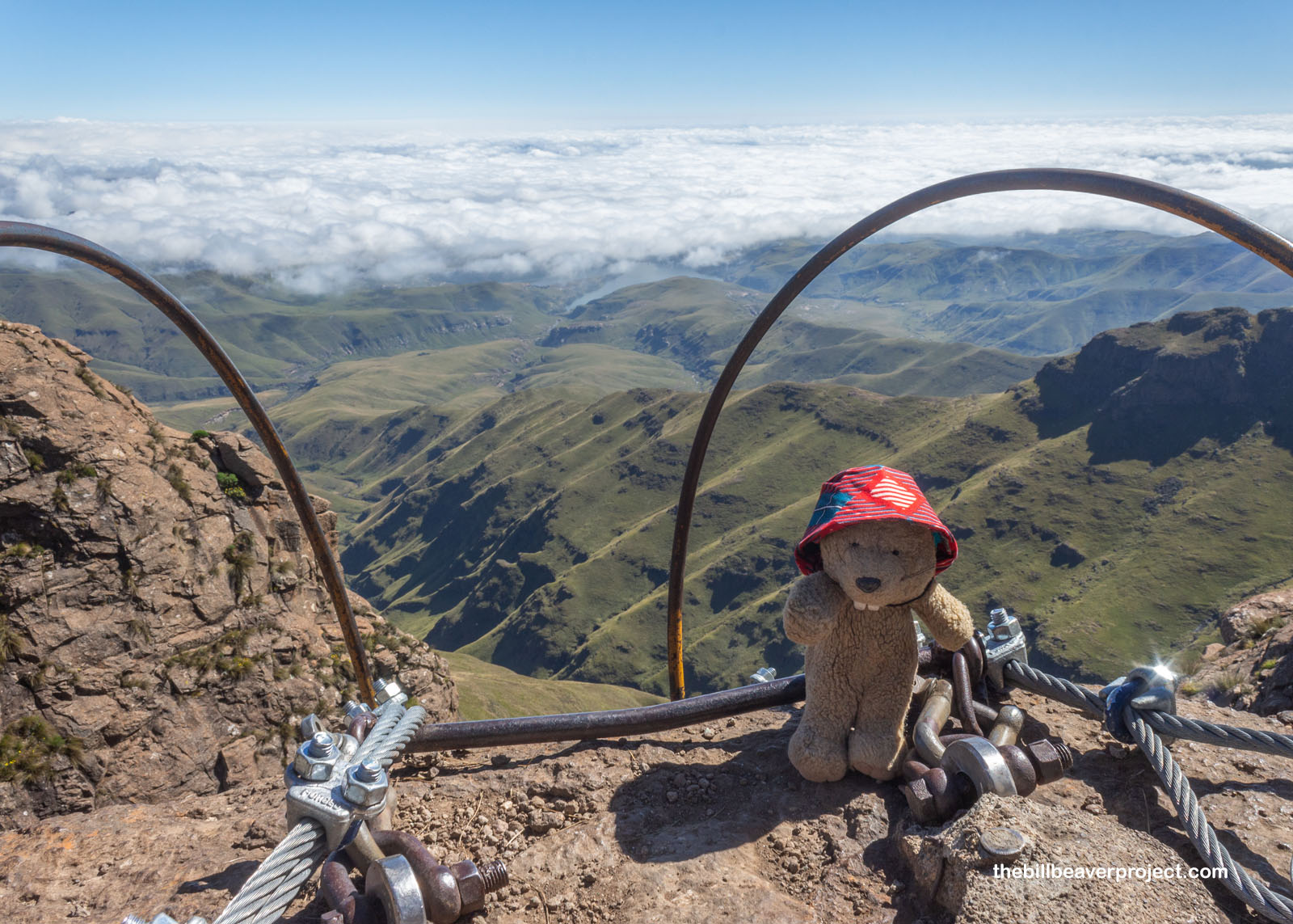
And wouldn’t you know it, there were two ladders side by side, one for folks going up and the other for coming down, at least, for those who were paying attention. The way up was a little on the wobbly side, but it ended up being way more sloped than I predicted. I thought for sure it would be a sheer cliff face for hundreds of feet, but it was way less scary than the chains at Angel’s Landing! Once at the top, the views got even better!
 |
 |
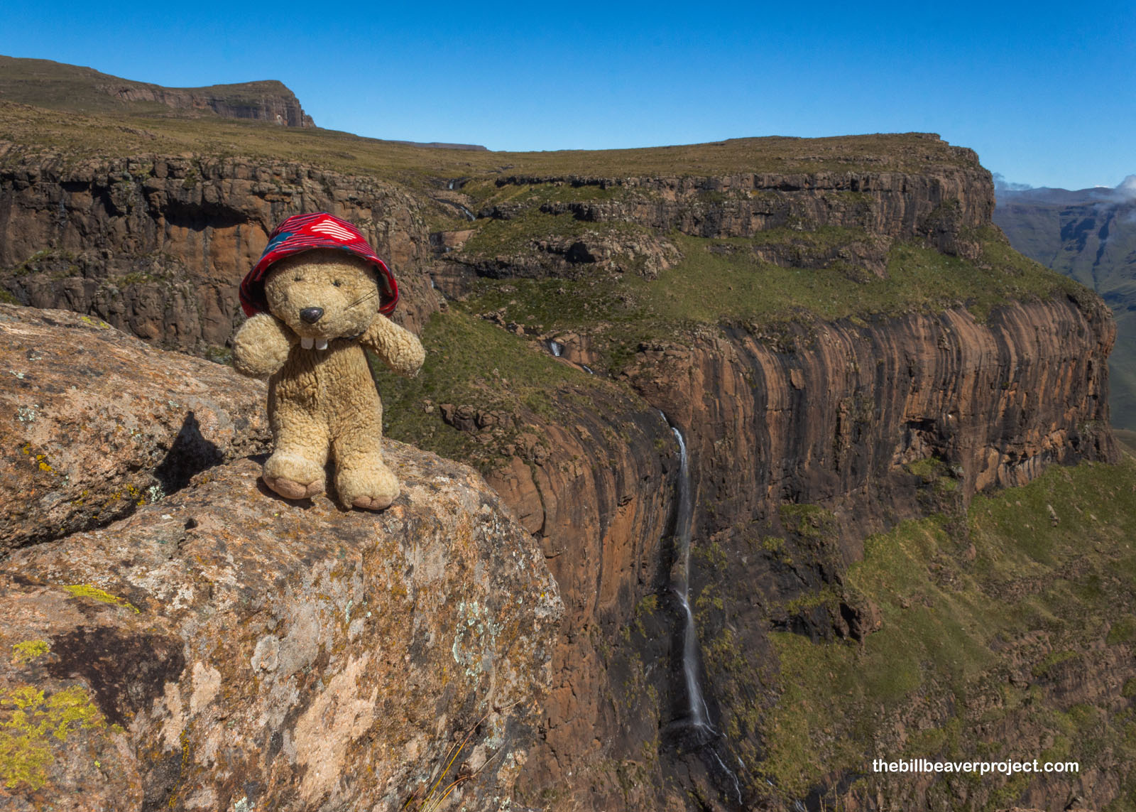
Wow! Was that Tugela Falls? It didn’t look like I imagined, since I thought Tugela Falls fell the opposite way. After a moment of puzzling and watching two lizards fight for territory on the cliff face, I learned that this was actually Eland Falls! Tugela was still a good couple kilometers ahead, up a hill covered in sharp, stabby grass and onto a vast plateau!
 |
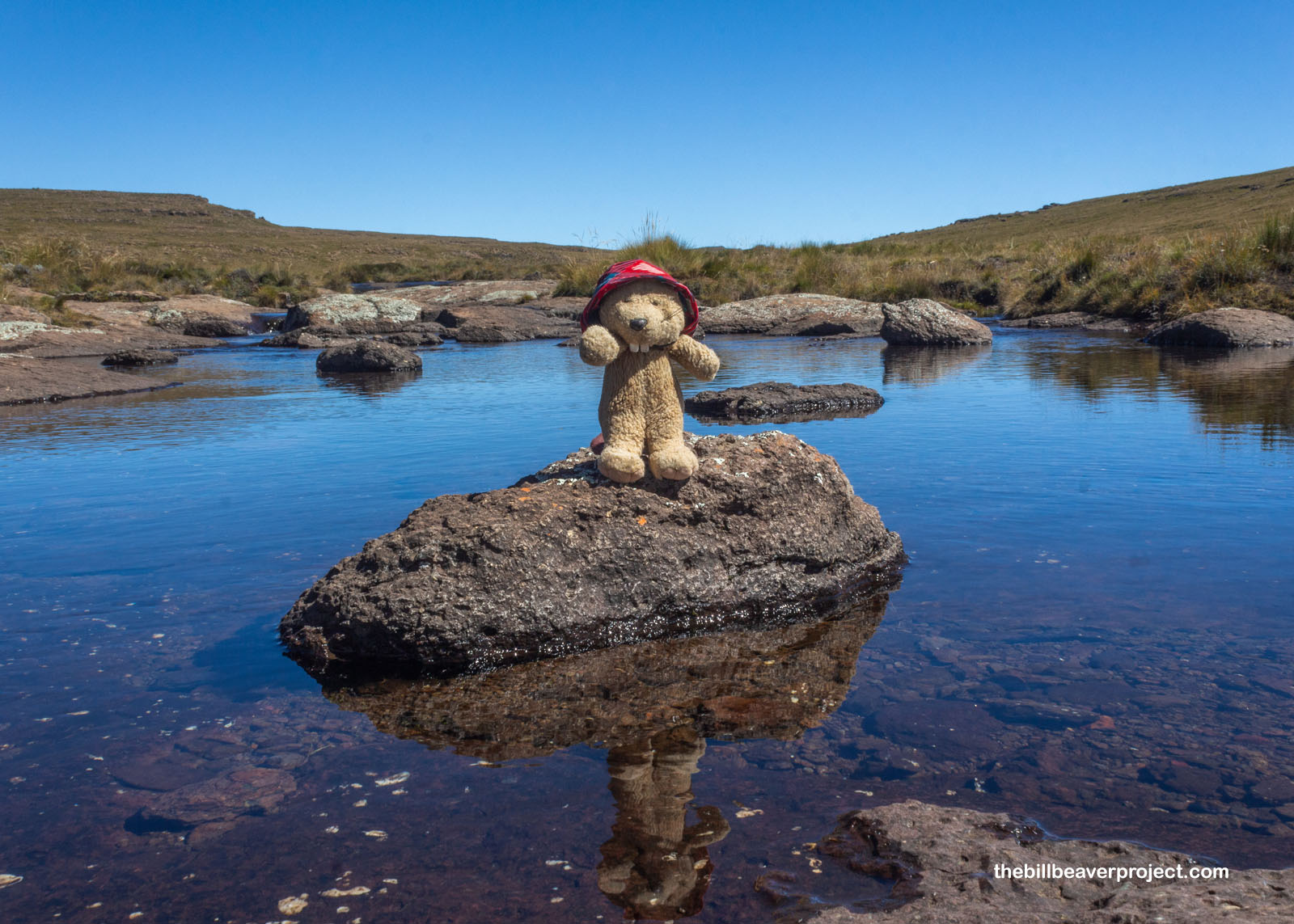
Lazily drifting along this plateau was the Tugela River, not giving anyone the impression that it would be somehow turning into an enormous cascade ahead, least of all the thousands of tiny frogs (Strongylopus wageri) that were living in the still water alongside their tadpoles! I was glad there wasn’t a current, because that would be super dangerous for these amphibians, who are threatened by habitat loss outside the national park!
 |
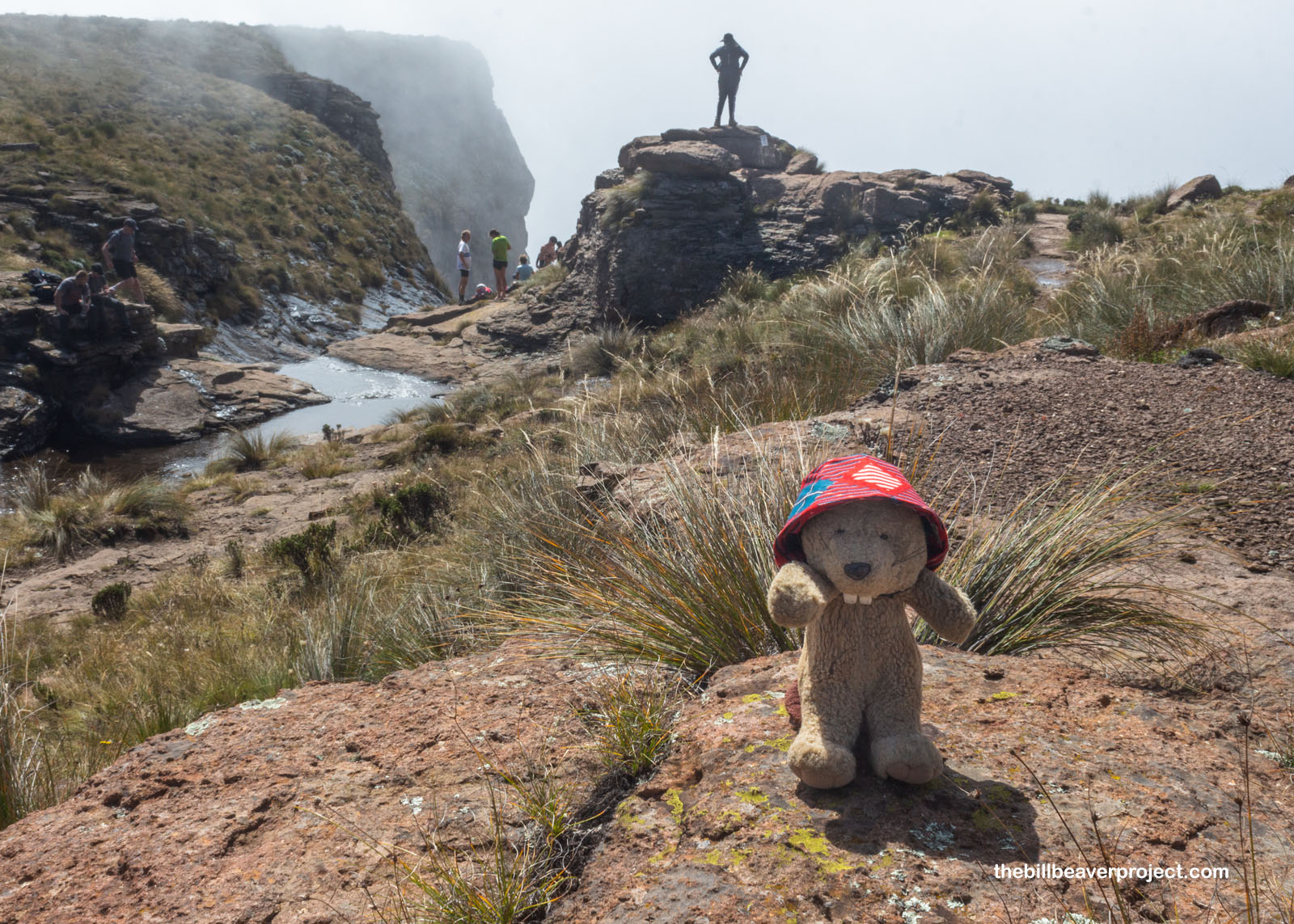
After just under 2 kilometers of wandering along the stream, we suddenly arrived at an unwelcome surprise: a wall of clouds! The sky had been absolutely clear the whole time, and now suddenly, we were faced with zero visibility of Tugela Falls, which we could hear somewhere out in the void! Had we come all this way just to be met with emptiness?
 |
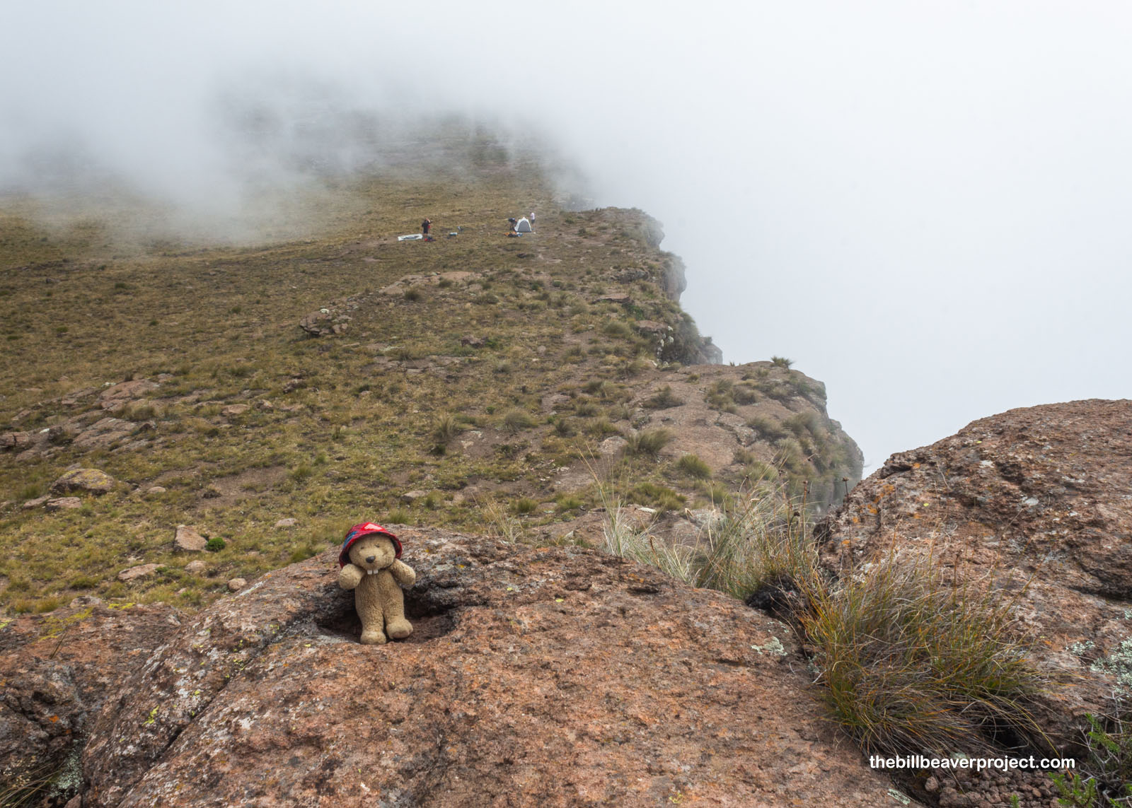 |
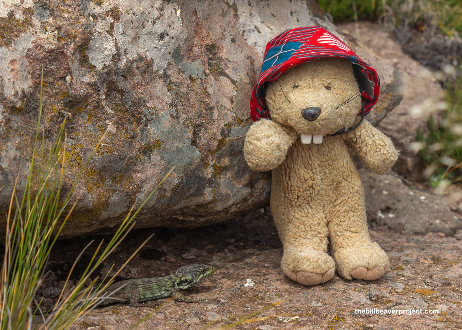
“Don’t worry,” called a voice from under a rock. “It’s like this all the time. Give it a few minutes, and you’ll see the waterfall.” I decided to trust this crag lizard (Pseudocordylus subviridis), because you can always trust a reptile to know when the sun will be out!
 |
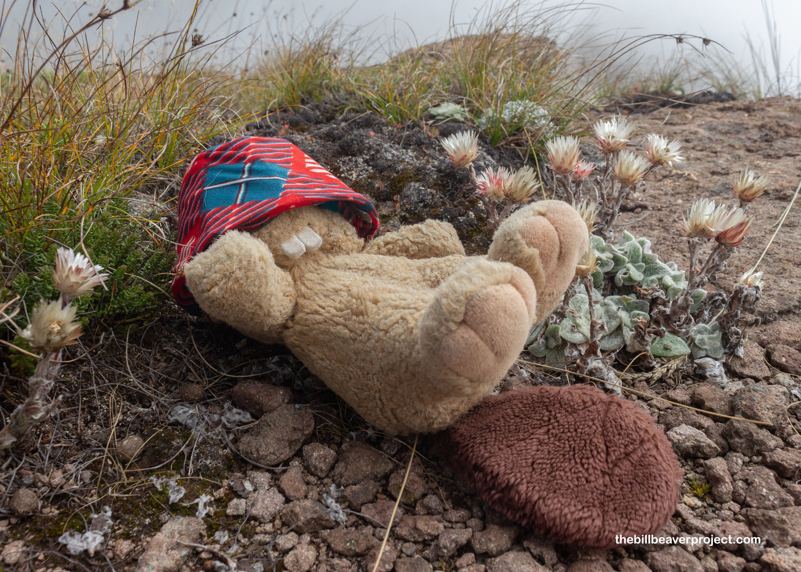
So while Buzz went off to wander, I decided to take a nap among the Everlasting. Even with all the clouds, it was super pleasant out, and if I wasn’t careful, my nap could easily become an everlasting one!
 |
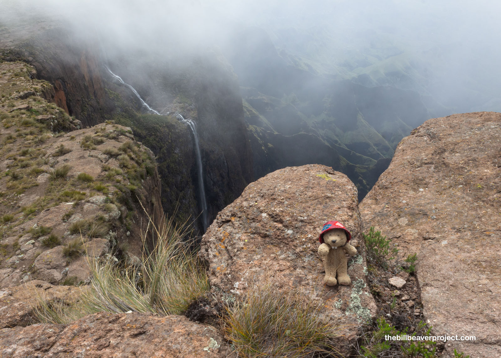
And wouldn’t you know it, Ms. Crag Lizard was right! From 11:30 until noon, the wall gradually vanished, revealing the true Tugela Falls, tugela being the Zulu word for “sudden,” and the vast Drakensburg country beyond, recognized by UNESCO for its spectacular geology, super rare animals, and the most concentrated group of ancient rock paintings south of the Sahara!
 |
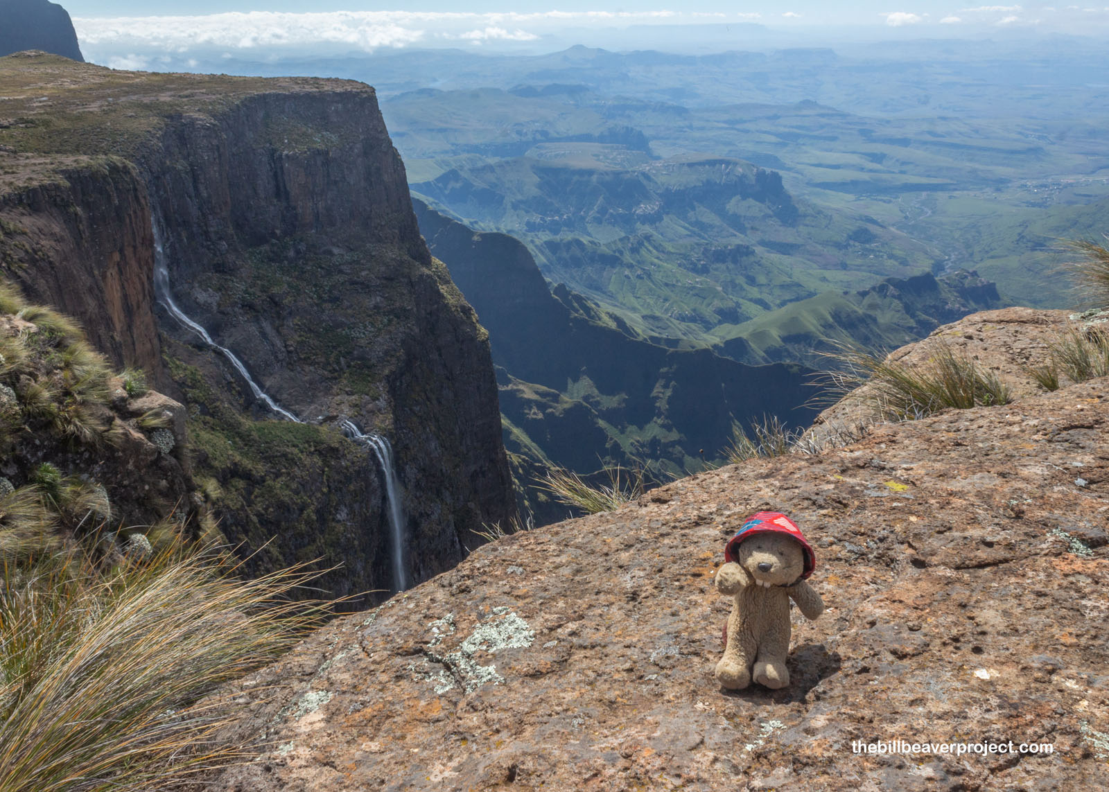 |
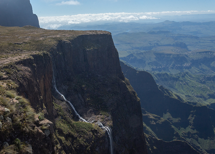
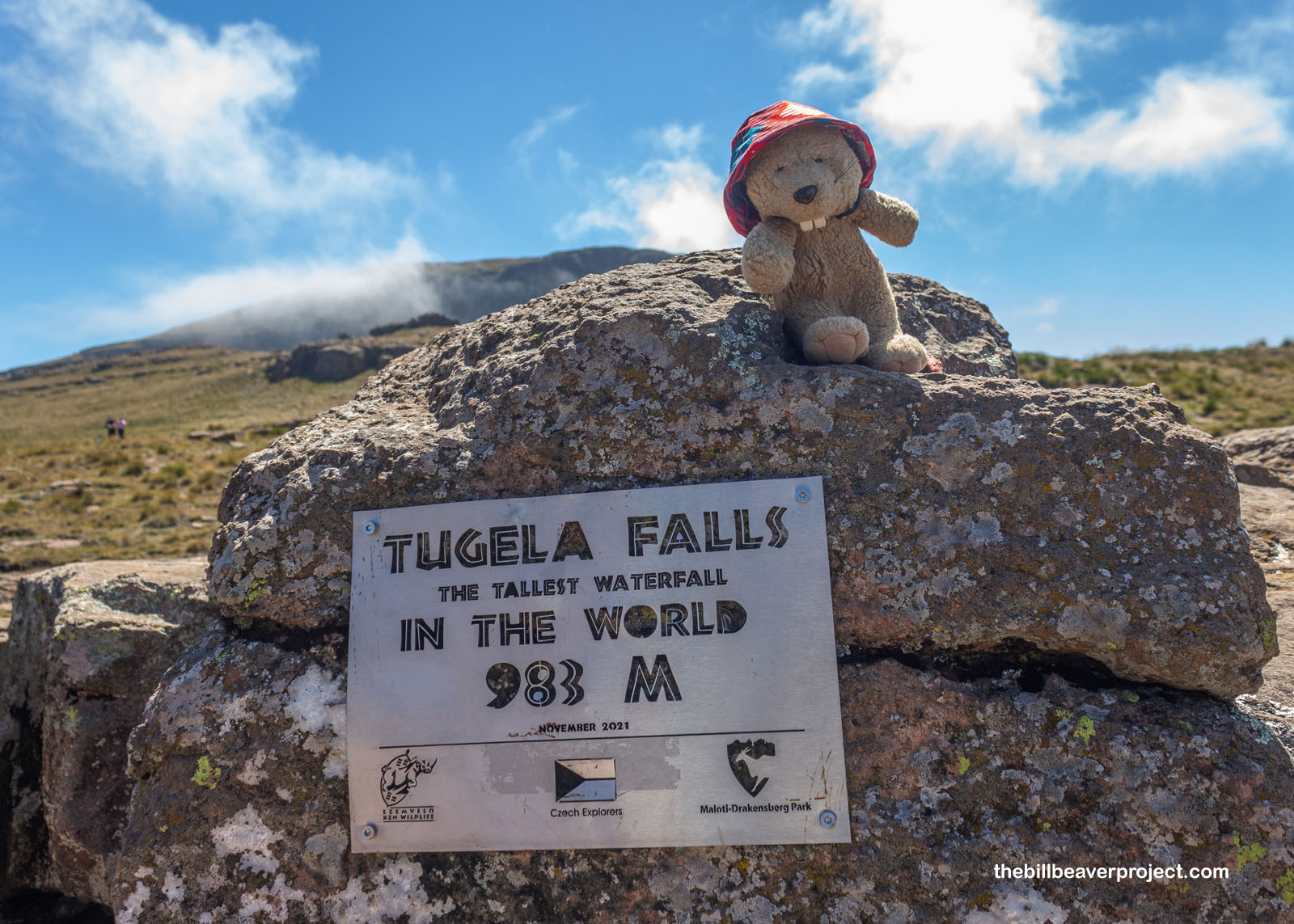
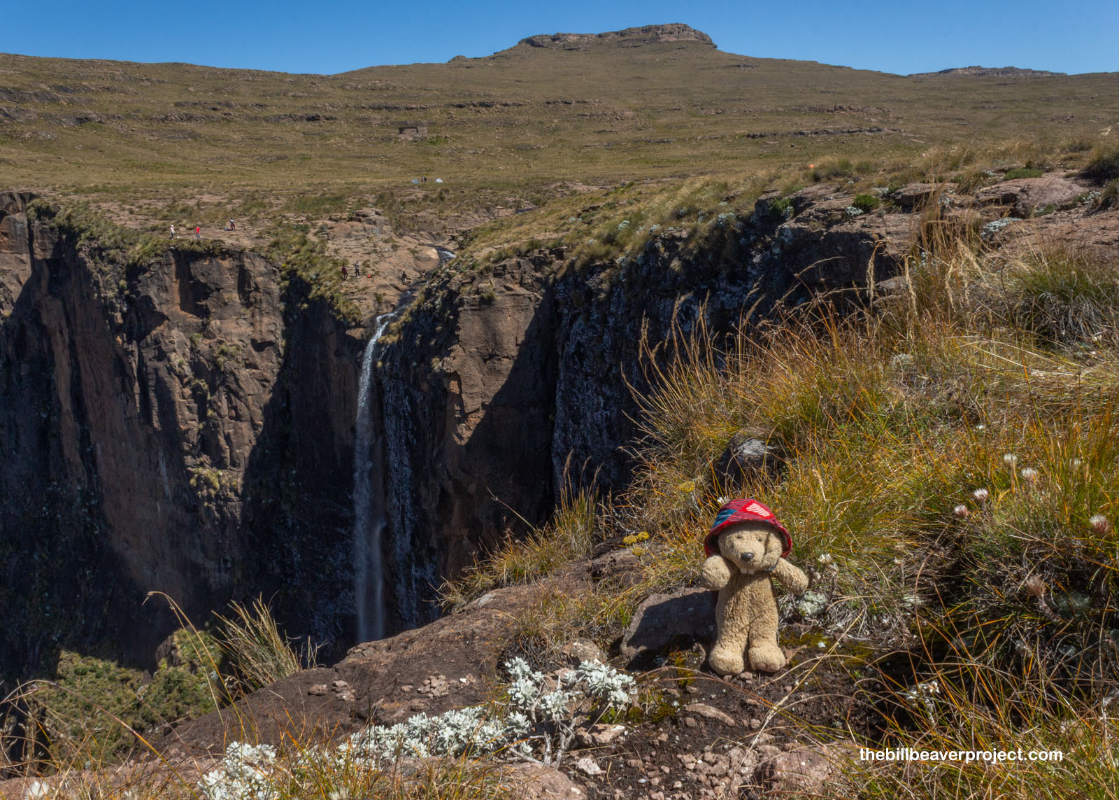
Now here was a confusing sign! Everywhere else, I’d read that Tugela Falls was 947 meters high, about 3,107 feet, but here, a plaque from 2021 said it was 983 meters, which would have made it four meters taller than Angel Falls! As recently as 2016, a Czech expedition took new measurements, but naturally, there was debate! What counts as a waterfall? Is it the total distance water is falling, including all tiers, or is it the longest span that water free-falls? Angel Falls has an uninterrupted drop of 807 meters (2,648 feet), while Tugela Falls has five tiers, the tallest of which is 411 meters (1,348 feet)!
 |
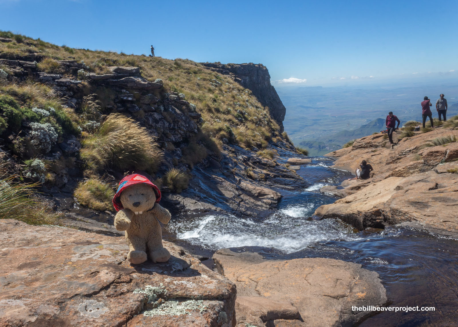 |
However you want to define a waterfall, Tugela Falls made a pretty spectacular drop down a pretty scary cliff face! While Buzz hopped around like a mountain goat, I stayed back in my comfy spot like a stream frog. Am I getting more nervous around heights as the years go by? Maybe, but I still got a great view!
 |
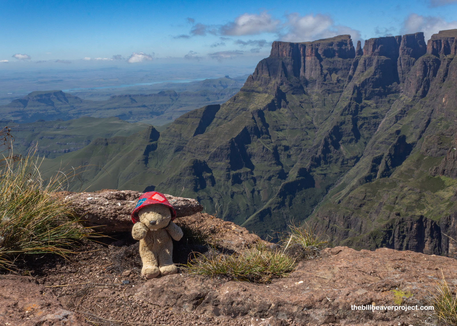
And there we have it, folks: my last view of Africa! I don’t think I’m exaggerating when I say the Drakensbergs are some of the most beautiful mountains I’ve ever seen, both craggy and green, spanning national borders and horizons. While it’s a terrible choice trying to budget two weeks for an entire continent, I think Buzz and I made some excellent choices and got to see a wide range of settings and critters on our adventure.
 |
We stayed overnight at the Protea Harrismith Montrose, which had brown water coming out of both sink and bathtub, then made our way back to Pretoria to wander a farmer’s market for a while and get me to the airport in time for my 7:25 flight. I sure am grateful that Buzz invited me to explore Africa with her. I think it’s a special privilege to have friends in far-flung places. I’ll be back on my own for a while, but that’s okay. There’s always something new and neat to discover, and I’m about to cram a whole Easter Sunday full of sights in one of the most historic cities in the world! Stay tuned!
Salang hantle!

Previous Day |
Total Ground Covered: 1,655.2 km (1,089.6 mi) |
Trip Conclusion |