 |
| Landmark #218 | Orange County | Visited: November 12, 2012 | Plaque? NO. 🙁 |
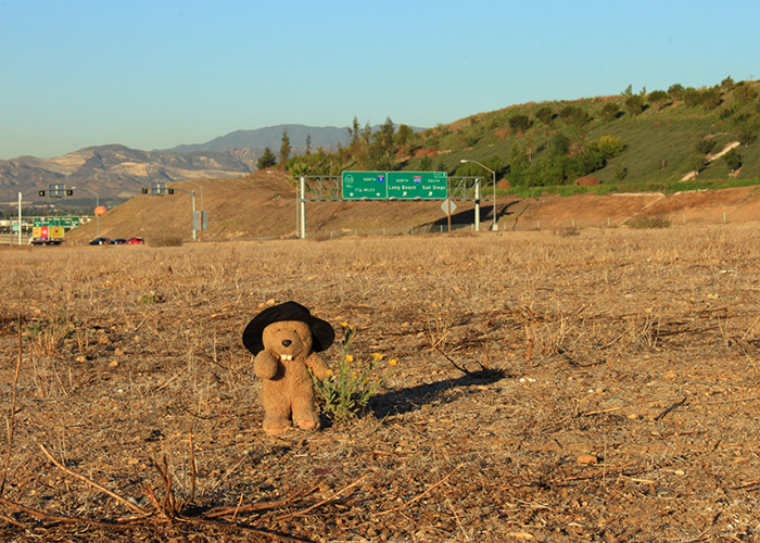
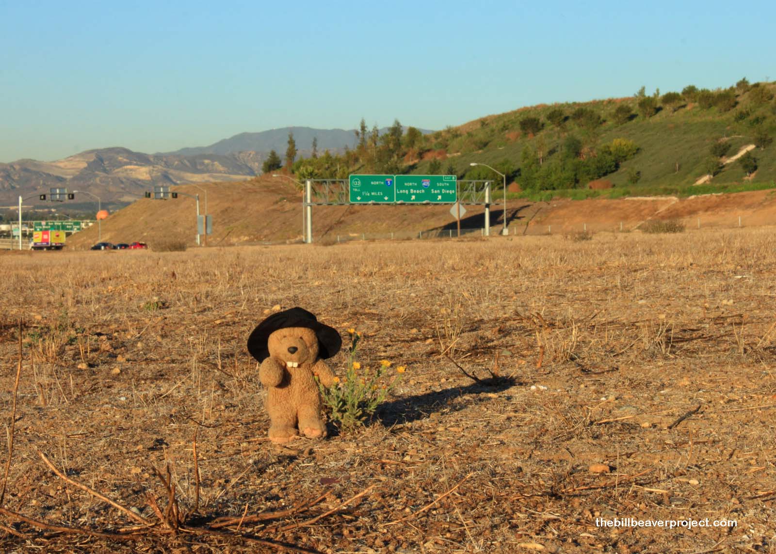
| What is it? | A hill overlooking a freeway crossing! |
| What makes it historical? | THE GUIDE SAYS: Juan Flores, who had escaped from San Quentin, was being sought by James Barton with a posse of five men. Near this mound, Flores surprised Barton and three of his men, all four were killed. When Los Angeles learned of the slaughter, posses were formed, and Flores and his men were captured.
OTHER TIDBITS: This is pretty much all that is definitely known about Juan Flores that has not been elevated to myth! He was a horse thief who co-lead a band called Las Manillas (“the Handcuffs”) with Pancho Daniel! After he escaped from San Quentin State Prison, he and his band rode south to plunder San Juan Capistrano! Hearing of this, Los Angeles sheriff, James Barton, headed south in pursuit! His posse stayed at the adobe of Don Jose Andres Sepulveda, where they were warned of a trap up ahead on the road to San Juan Capistrano. Ignoring the warnings, all but two of Sheriff Barton’s party met their ends atop what we now call Barton Mound! Sheriff Barton was the first LA County Sheriff killed in the line of duty! |
| How can I Help the Helpers? | HERE’S HOW:
|
| Where is this place? | LISTED DIRECTIONS: SE corner of I-405 and State Hwy 133 2 mi S of East Irvine, CA 92618 ANNOTATIONS: 12202 Dana From Los Angeles: ~44mi (71km) — 0.8hrs |
| When should I go? | Whenever the mood strikes you! |
I would appreciate some better directions. The trail head at 12202 Dana is on the south west side of the 405/133 intersection. Should I walk under the 405 to the southeast side? Why wouldn’t I enter from the Spectrum entrance which is already on the southeast side. Thanks.
Hi James! Great question! When I visited in 2012, the interpretive site hadn’t been completed yet. My friends at California Historical Landmarks should be able to point you in the right direction, though!
Thanks. I will. I checked a number of places and everyone says “south east” but all the GPS coordinates say “south west”. And it’s funny that there are different coordinates. Here are just 2 of the ones I found (33°38’51″N 117°45’24″W) and (33.648848,-117.757106) Both of them get you to the south west corner.
Neat! I’ll pick a weekend to go down and investigate. Thanks for the tip!
The address given is all you need. It is at the base of the hill near the river, which is where the ambush took place. You can get to the top of the hill from three different directions – You can’t miss.
Also at this location is the site of Lion Country Safari from 1970 – 1984, and Wild Rivers waterpark from 1986 – 2011, with the Irvine Meadows Amphitheatre / Verizon Wireless Amphitheatre next door. There is a historical marker near the south end of the hill, near 26001 Pintado, Irvine CA 92618, for Lion Country Safari. Nothing about Barton Mound was there in March 2020.