 |
| Landmark #299 | Alameda County | Visited: Sept. 14, 2013 | Plaque? YES! 🙂 |
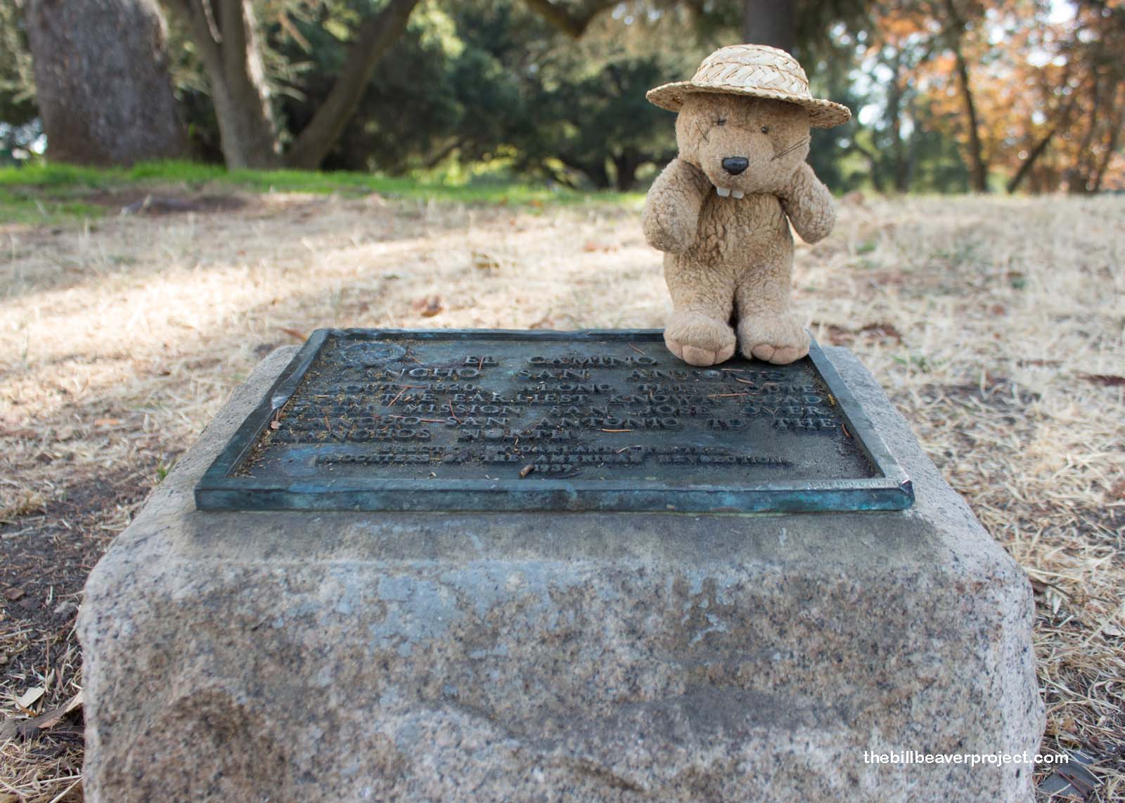
| What is it? | A tiny plaque in a park! |
| What makes it historical? | THE GUIDE SAYS: The Camino of Rancho San Antonio ran from Mission San José to Fruitvale, and later to San Pablo by way of Oakland and El Cerrito. The word camino means trail, road, highway, or line of communication that is in general public or private use.
OTHER TIDBITS: This was the earliest known road north from Mission San José! |
| How can I Help the Helpers? | HERE’S HOW:
|
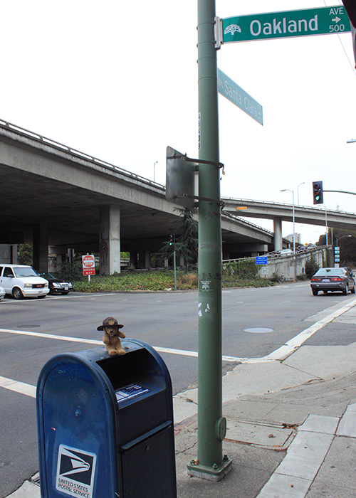
| Where is this place? | LISTED DIRECTIONS: SW corner of Oakland and Santa Clara Aves Oakland, CA 94610 ANNOTATIONS: From Los Angeles: ~371mi (598km) — 6.2hrs |
| When should I go? | Whenever the mood strikes you! |