 First Saint |
Summit: 10,069 ft (3,069.0 m) Trail: 10.2 mi (16.4 km) roundtrip |
 Third Saint |
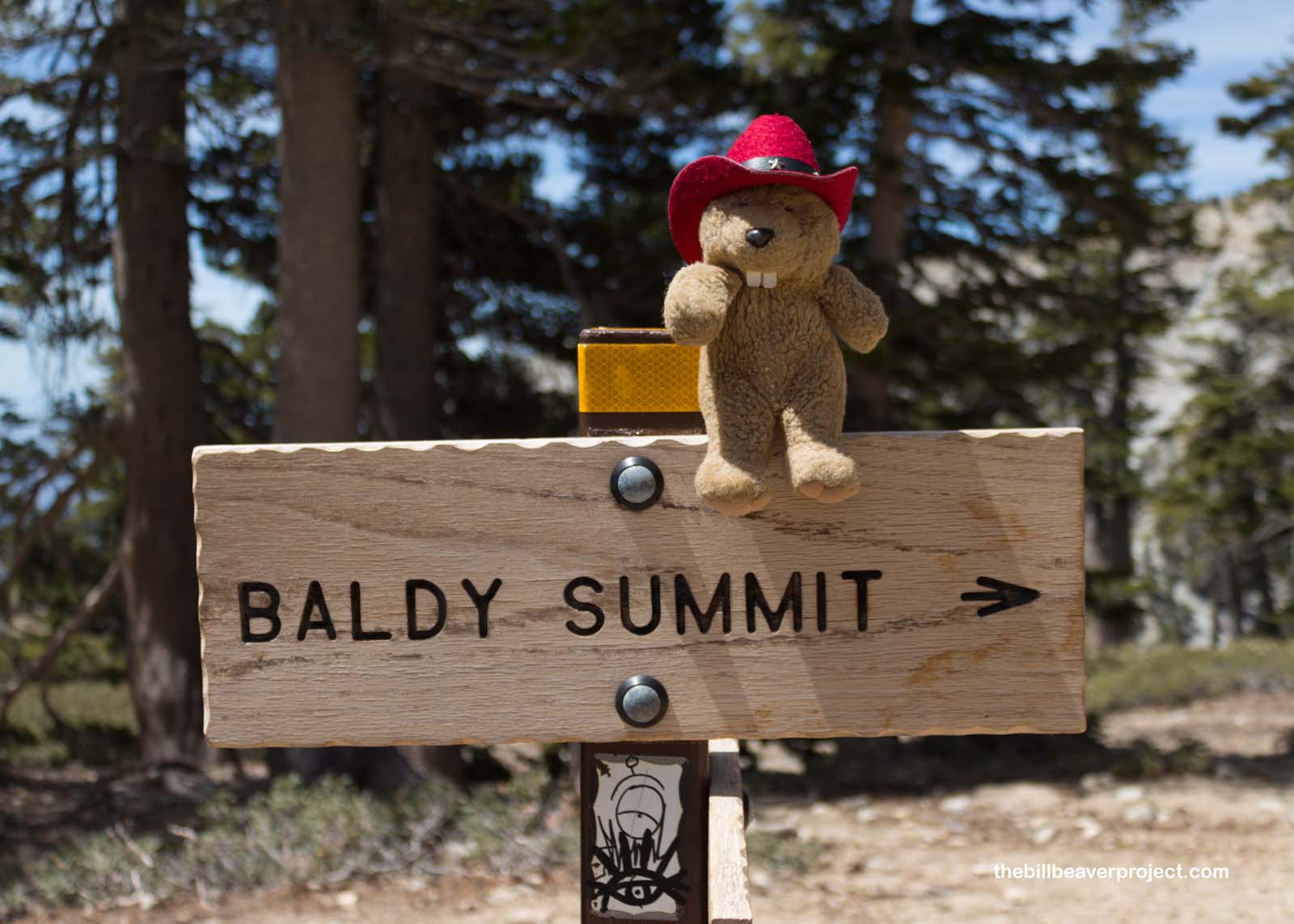
Time for a day on Bald Mountain, everyone!
There are a lot of Bald Mountains and Mount Baldies across the country, but today, my friend, Brett, and I are tackling the one that goes by another name, Mount San Antonio! It’s the highest peak in Los Angeles County and the second of the three mighty mountains collectively known as the Three Saints!
 |
Mount San Antonio is named after St. Anthony of Padua, the patron of lost things, Native Americans, travelers, and harvests, among other things! Luckily, this trail turned out to be well marked, so we were not about to become lost things ourselves!
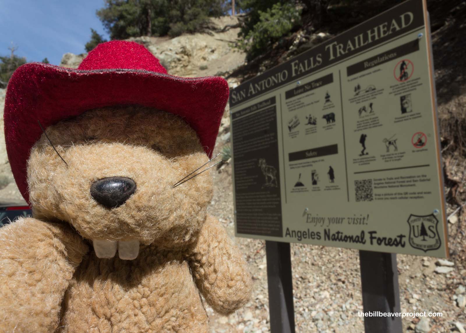
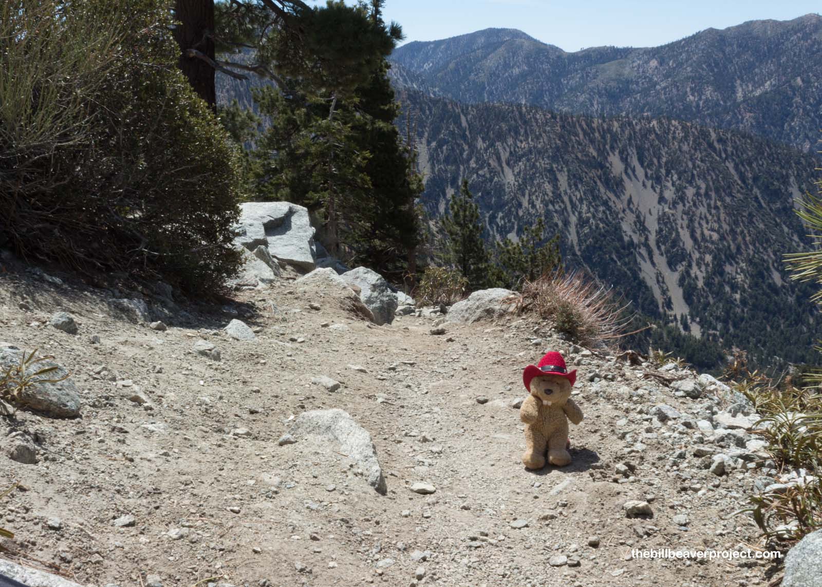
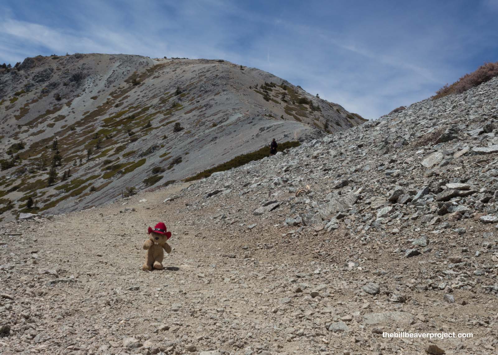
From the road to the official trailhead, we wandered up a gently sloping track until it abruptly jolted up and to the left, an unflinching steepness that would not really let up for the rest of the trek!
 |
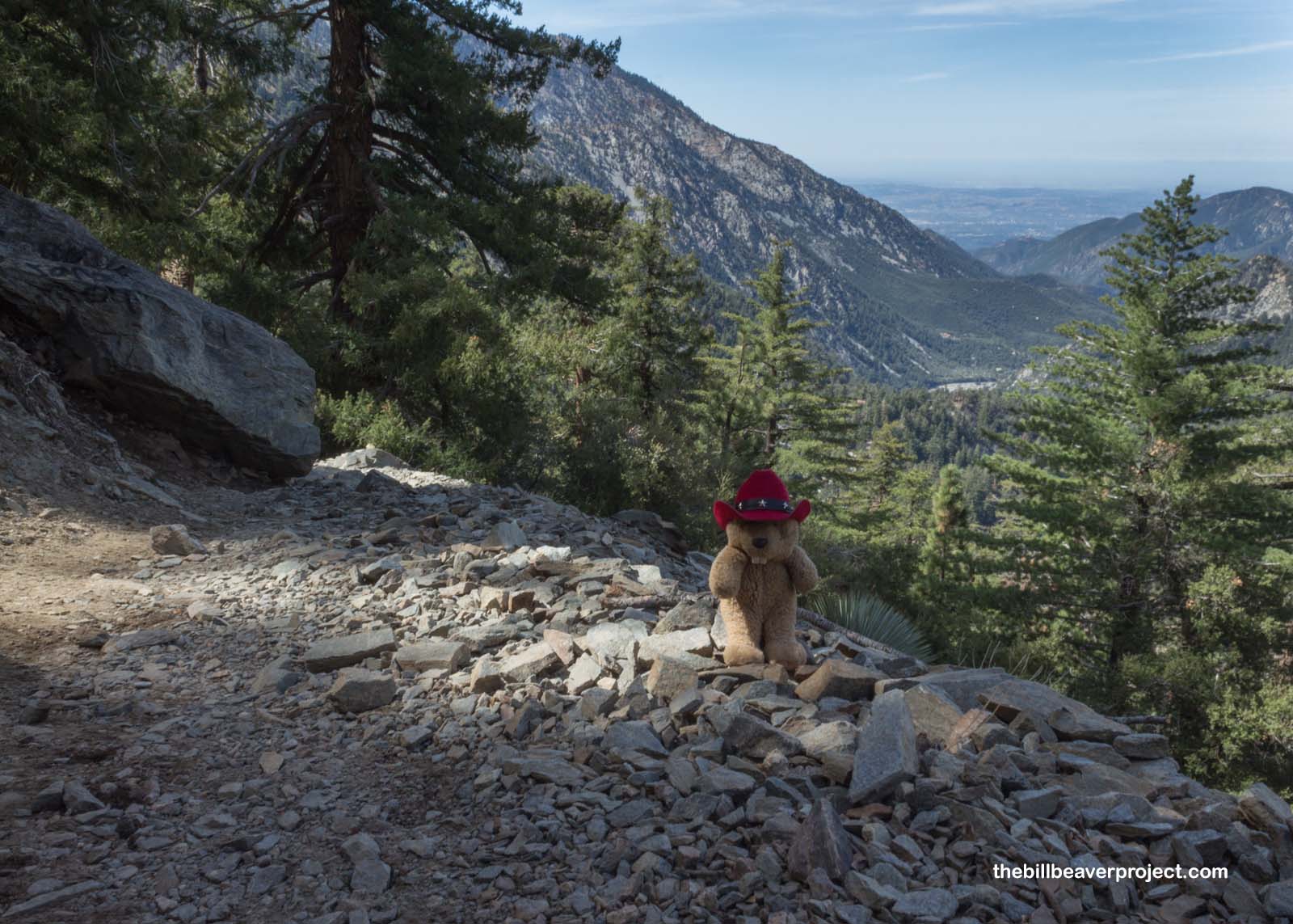
It turned out that we were actually hiking in the reverse direction that most folks do, which could explain why it was so darn challenging! Nevertheless, though we took a tougher route, we were rewarded over the first 2.6 miles, with great views down the same canyon that housed the historic Pomona Water Powerplant!
 |
 |
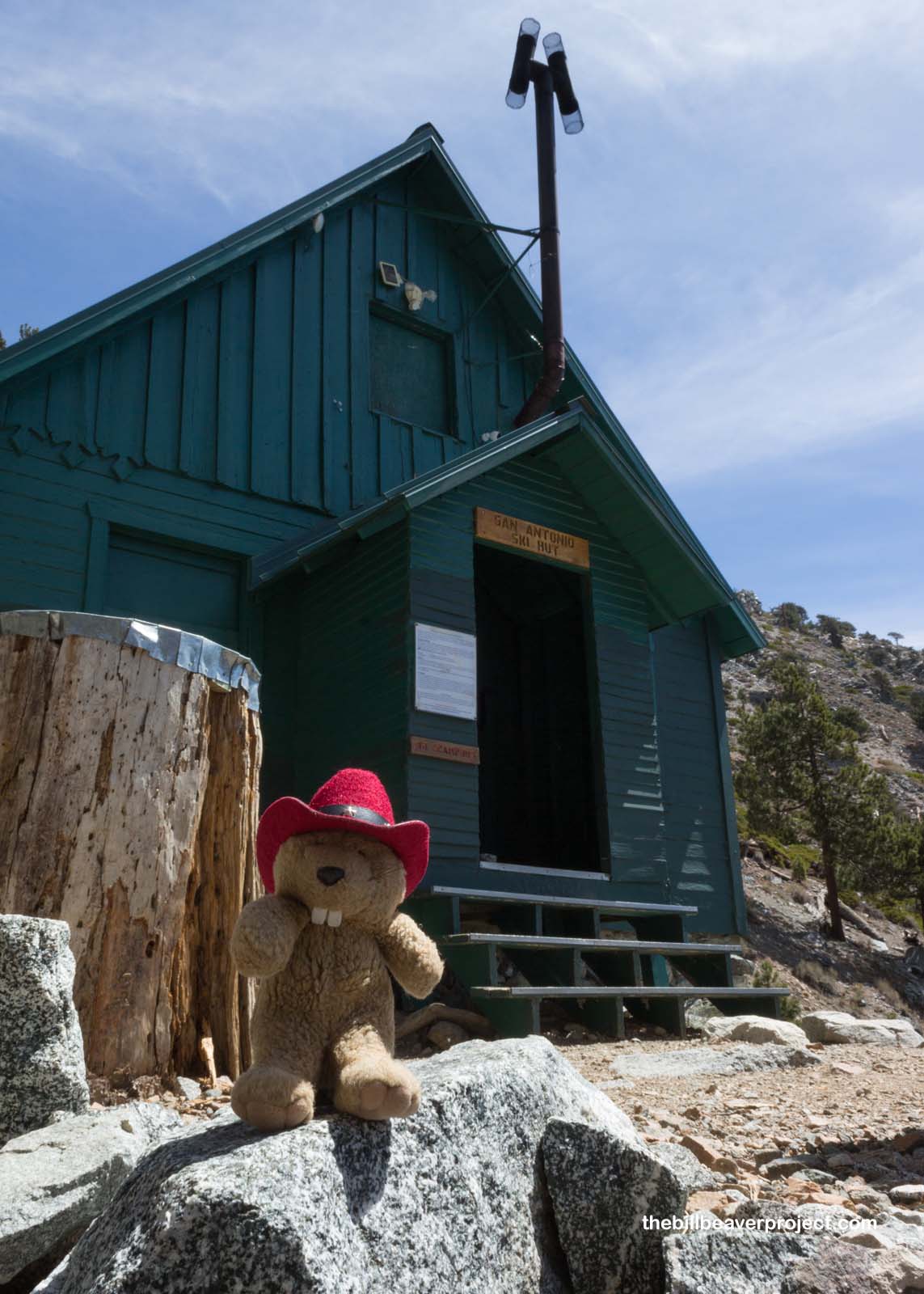
We took a breather at the Sierra Club Ski Hut, built in 1936 by a particular division of the Sierra Club called the Ski Mountaineers Section! Folks can actually stay overnight here! There are bunks upstairs, a refrigerator, cookware, and a sink that streams out crisp mountain water, right out of the aquifer! We didn’t have time to stay the night, but that water sure was refreshing!
 |
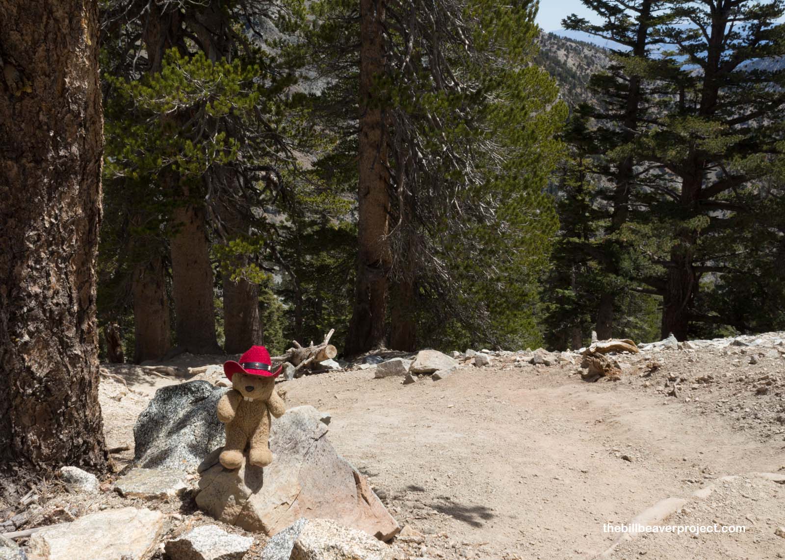
From there, we trekked up through a sparsely forested boulder field, counting down the last 1.9 miles remaining to the summit.
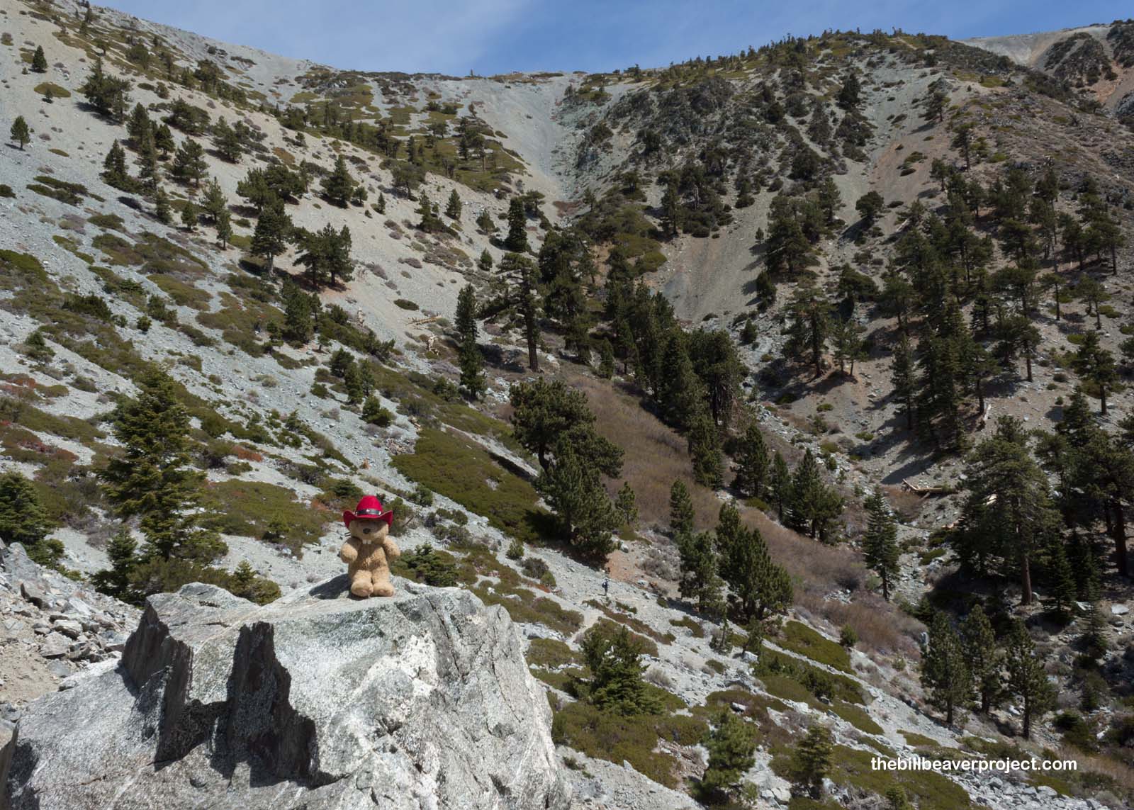 |
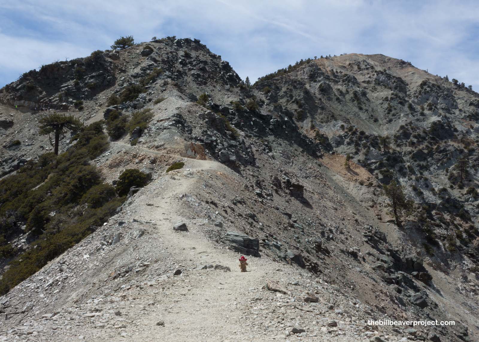
We hit some steep switchbacks, not nearly as numerous as the 99 on Mount Whitney, but steep enough that we got stuck in hiker traffic and ended up staring at a lot of feet and butts until we hit the top!
 |
A sign atop the switchbacks let us know that the summit was just ahead! Even though it was only about two miles from the hut to the summit, they were definitely the toughest parts of the trail. Mount San Antonio never really gave us any flat spots like most other trails. It was a very steady incline the whole way!
 |
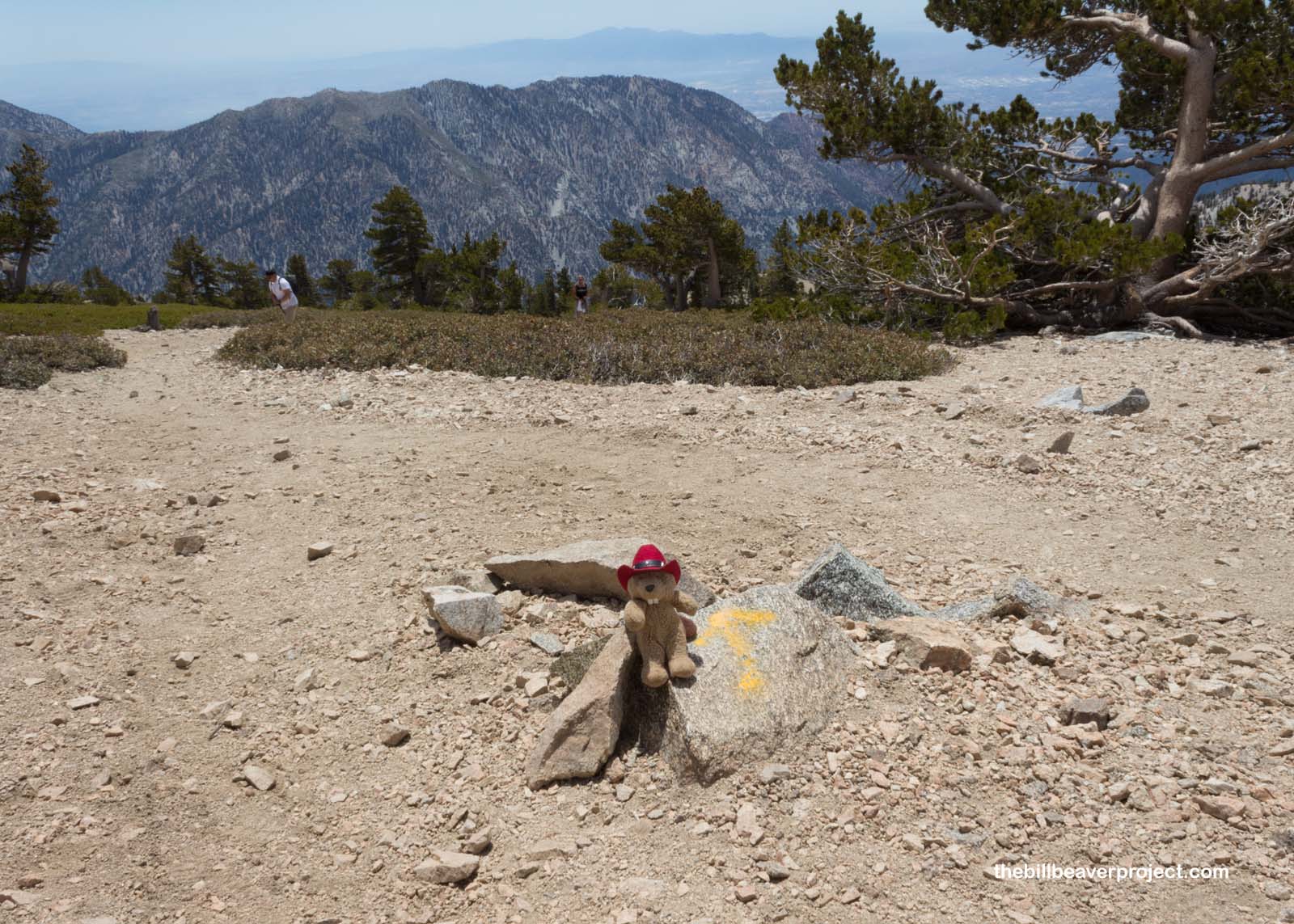
We ran into a lady going the opposite direction who was talking about her experience on the Camino de Santiago de Compostela! As we compared notes on our respective Caminos, mine on the Camino Frances and hers on the Camino del Norte, she pointed out that this trail also had flechas amarillas on the rocks, just like the Camino did! Unfortunately, they were all pointing in the opposite direction that we were going and didn’t do us a whole lot of good. It was great for jogging my memory though!
 |
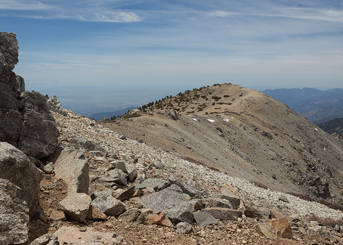
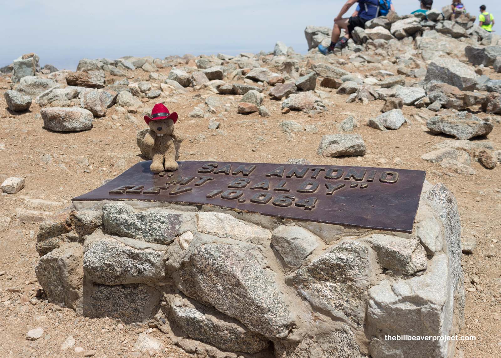
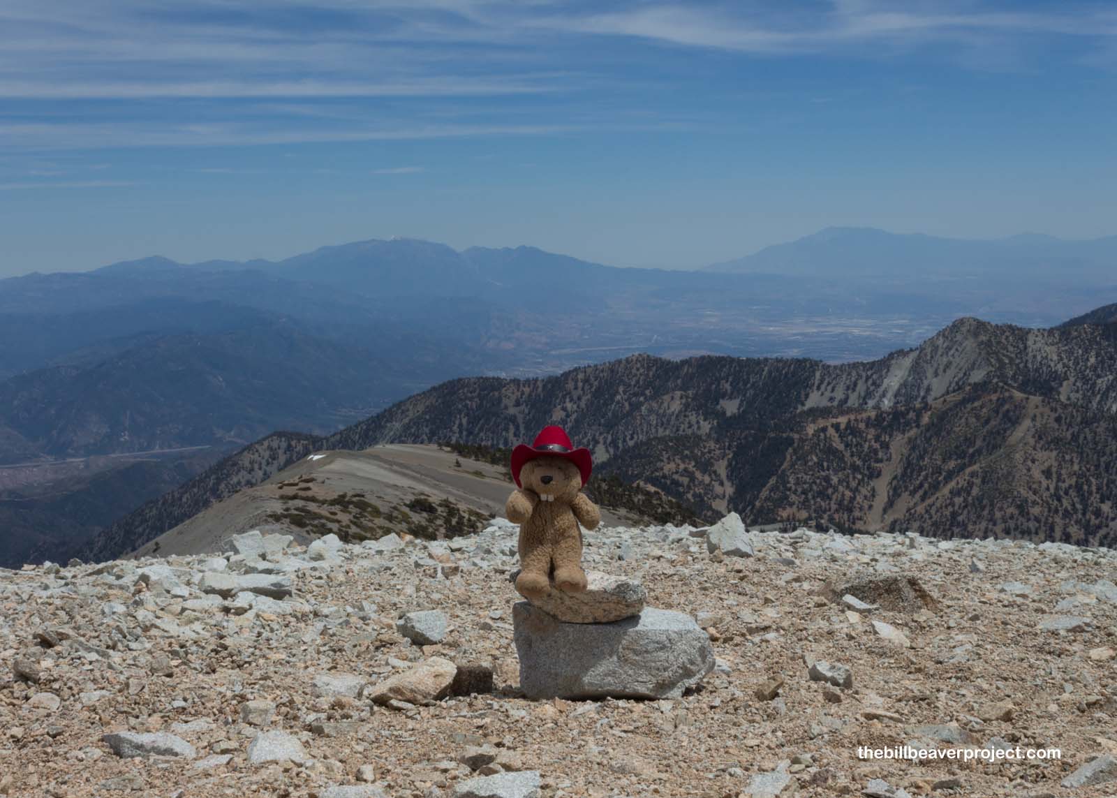
At last, after climbing up over the tree line and onto the bald surface that gives this mountain its nickname, we reached the summit marker at 10,064 feet above sea level!
 |
All around us, the views were spectacular! To the west, the mountains of the Angeles National Forest stretched off into the distance, and to the east, so did the high desert leading to Barstow, Primm, and Las Vegas!
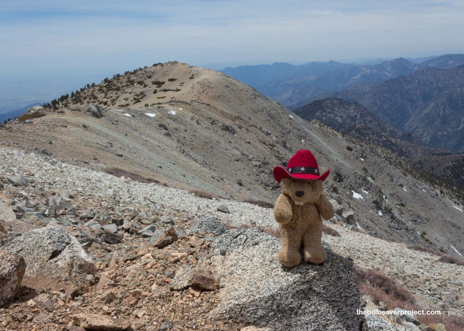 |
A glance south gave us a full view of the other two saints: the mighty San Gorgonio and San Jacinto, which we tackled back in October! They seemed so small from so far away, but then again, so does the whole world!
 |
Unlike a lot of mountain trails, which go up and back, Mount San Antonio’s is a loop! That meant that, once we were done with our snacks, we kept going down switchbacks and scree slopes, which hadn’t even been visible from the trail on our way up. Our earlier path seemed so far away on Baldy’s opposite slope!
 |
At last, we descended the Devil’s Backbone, a narrow saddle between two major dropoffs! It was a good thing that there was no wind on this day, or I would surely have met my doom! On this calm day, though, we were able to enjoy a majestic view and the beauty of a narrow path in the mountains!
 |
Only 3.3 miles after the summit, we reached Baldy Village to rehydrate with some tall lemonades. Both Brett and myself were mighty tired and a little pressed for time, so we opted not to trek the last three miles down to the parking lot and instead took full advantage of the ski lift that took us down to where we needed to go. At the end of the day, we made our goal and reached the summit, so I still consider this saint conquered!
See you at the trailhead!

First Saint |
Summit: 10,069 ft (3,069.0 m) Trail: 10.2 mi (16.4 km) roundtrip |
Third Saint |