 Second Saint |
Summit: 11,503 ft (3,506.1 m) Trail: 17.3 mi (27.8 km) roundtrip |
 More Hikes |
Let’s get gor-going, everyone!
The first saint was Jacinto. The second was Antonio. Today, my pal Brett and I are facing the third of the Three Saints, the highest mountains of Riverside, Los Angeles, and San Bernardino Counties! This was mighty San Gorgonio! It was intimidating, not only because it sounds like “Gorgon” and “Gor stone demon,” but also because at over 11,000 feet, it was going to be an O2 challenge. That was fitting, because St. Gorgonius was martyred by strangulation in 304 AD!
 |
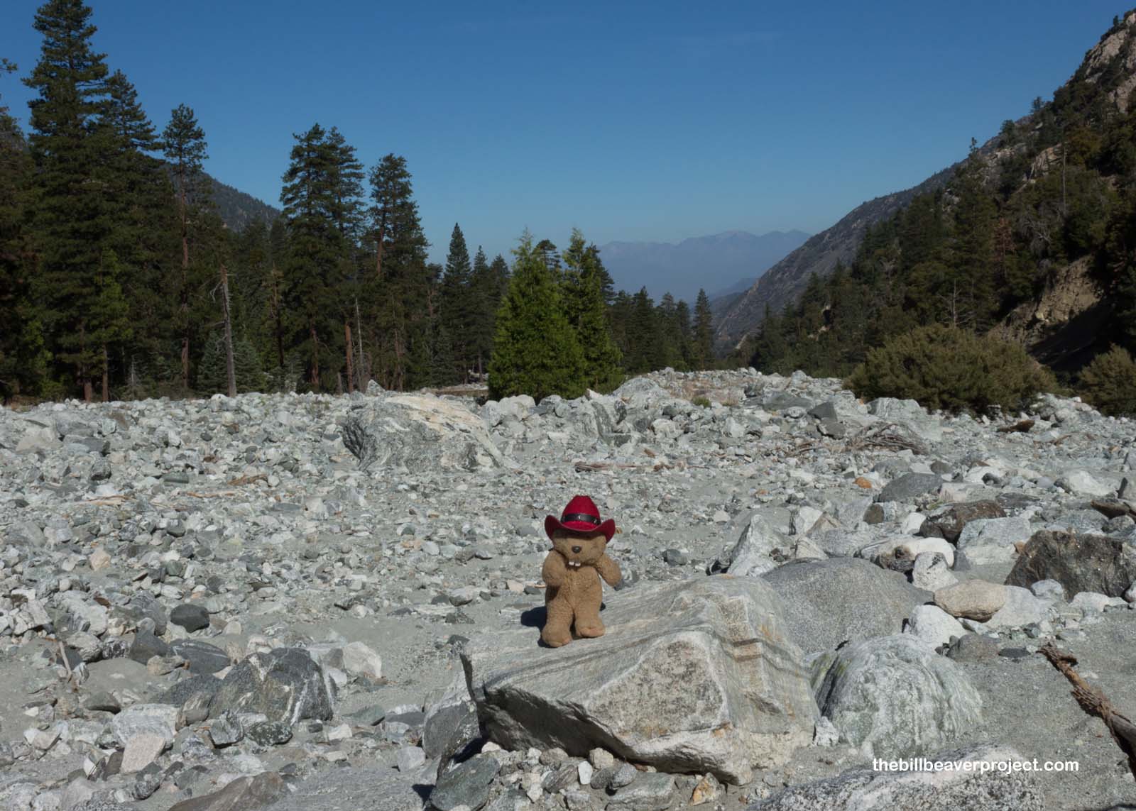
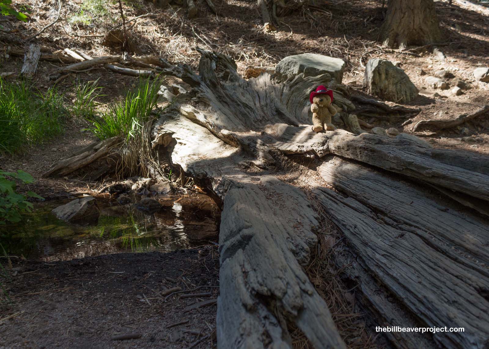
The first half mile of the trail started off on a mostly flat fire road, which curved off across a dry riverbed. Like most of southern California, it looked like water hadn’t flowed here in quite some time, judging by the size of the trees growing in the middle. But also like California, that could change any minute!
 |
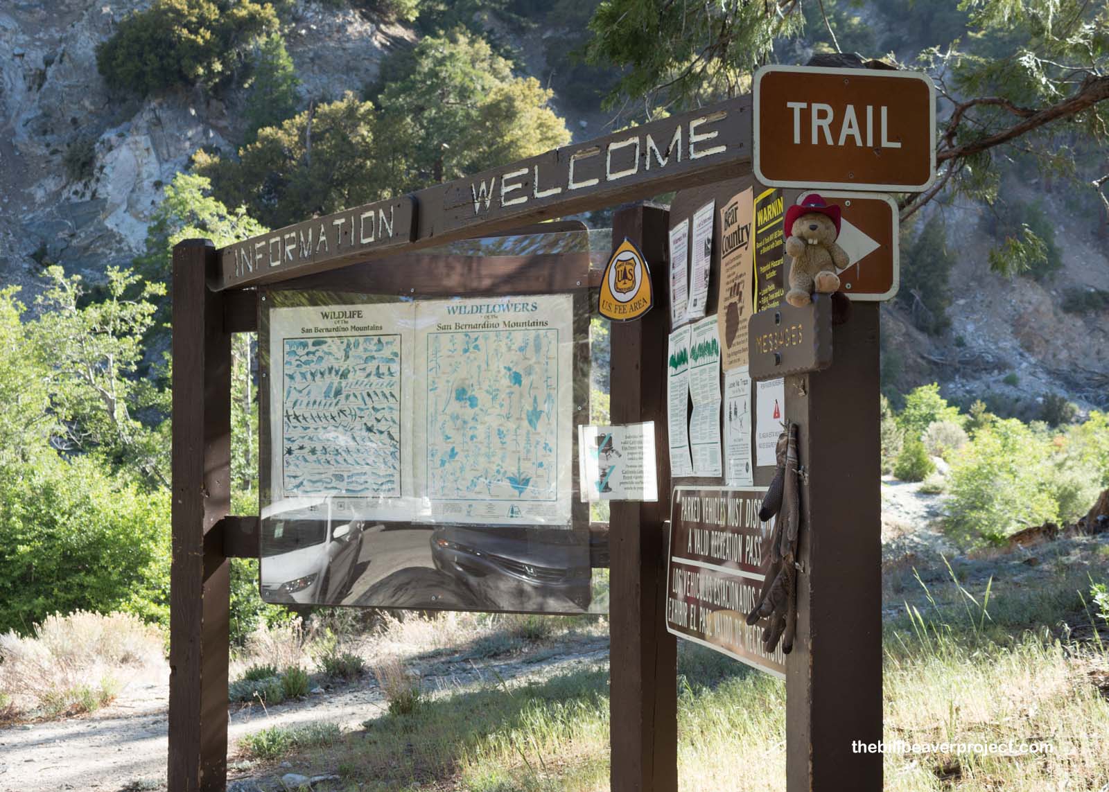
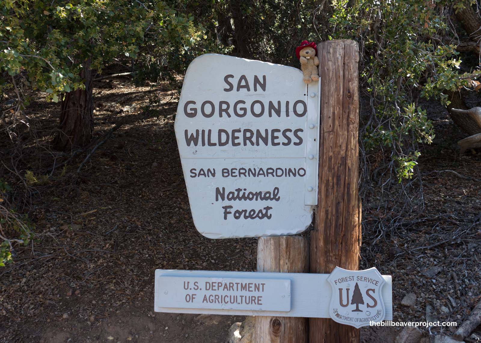
A series of switchbacks shot up just across the dry river, gaining 1,000 feet of elevation in just one mile! What a start to a 17-mile trek! That brought us to the edge of the San Gorgonio Wilderness, a nearly 95,000 acre expanse of wild mountain space that coincides with the BLM-managed Sand to Snow National Monument!
 |
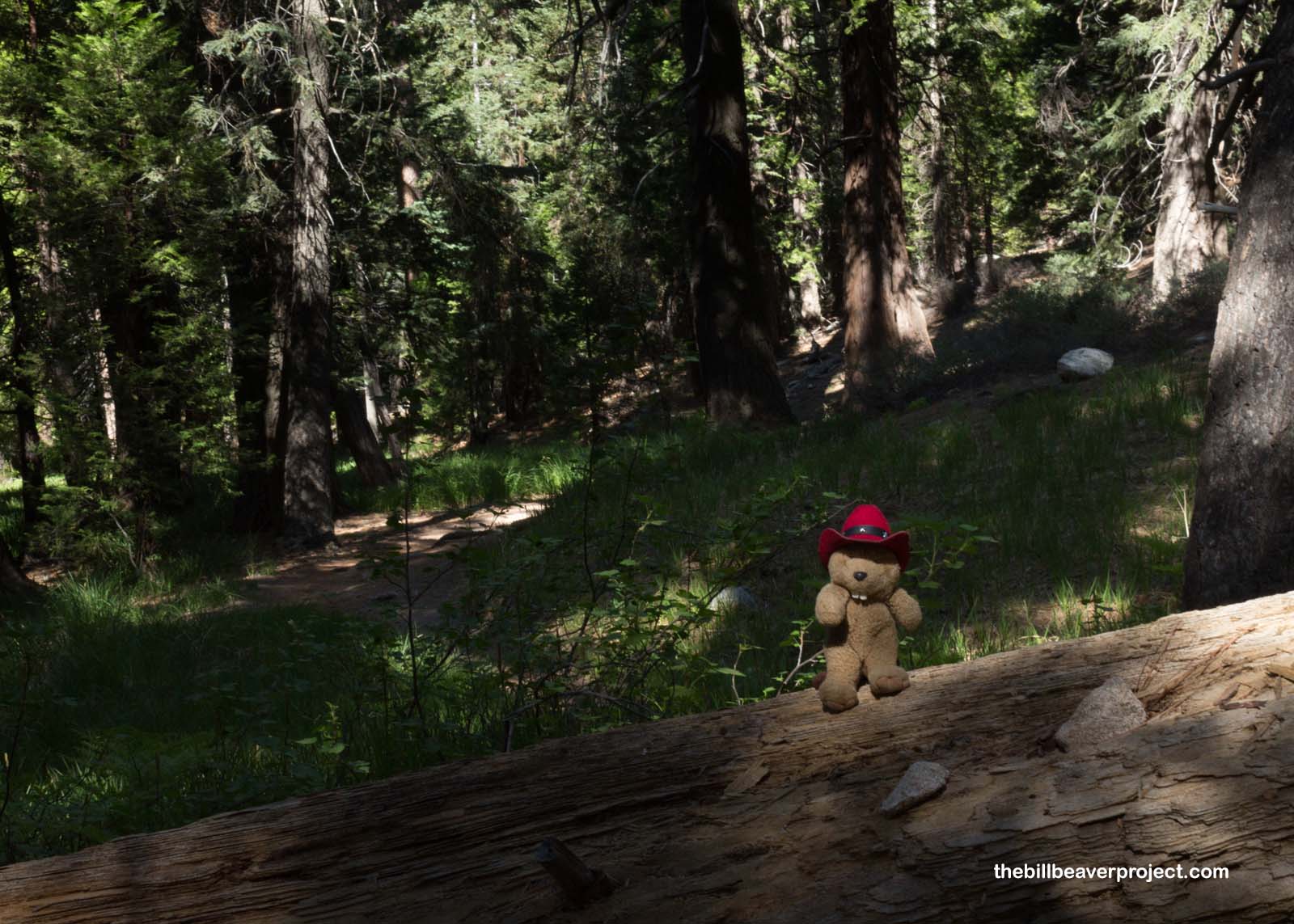
We got to recover from the early switchbacks by wandering for several miles through lovely greenery surrounding a stream, where the first of three campsites was located. I made note that this would be a really great spot to camp! It was so pretty!
 |
 |
We climbed higher and higher, getting views of the mountains across the canyon, whose tops really didn’t seem that much further up than we were, but we were still less then halfway up to the top of this mighty mountain!
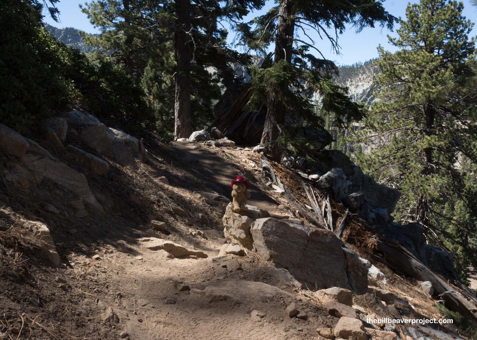 |
Once we did get to the halfway point, we faced a whole new set of switchbacks above 9,000 feet, bringing with them panoramic views of Mount San Jacinto to the south! While these were not as numerous or as high as the 99 switchbacks of Mount Whitney, the combination of late spring heat and thinning air had started to get to this sea-level beaver’s lungs!
 |
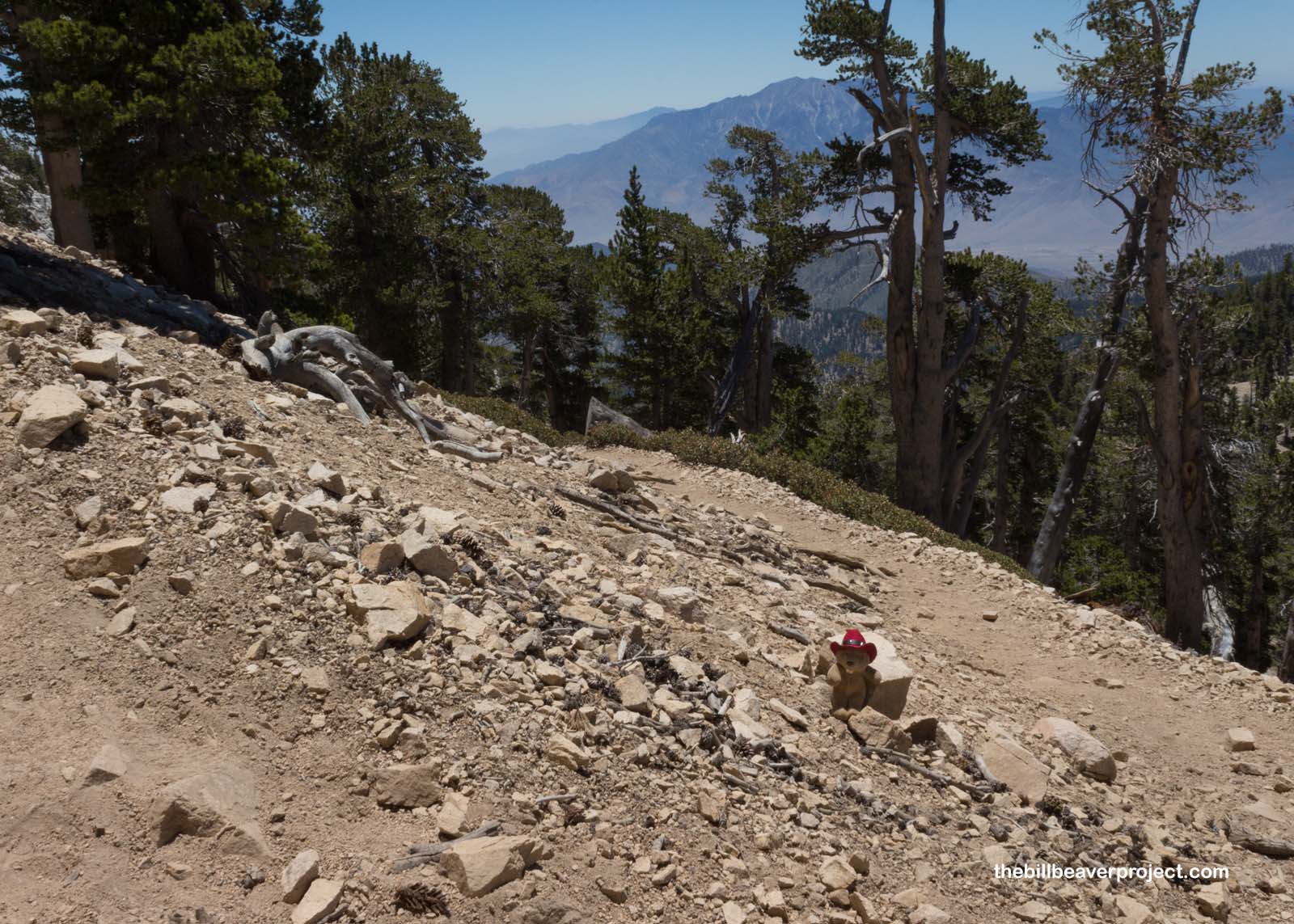 |
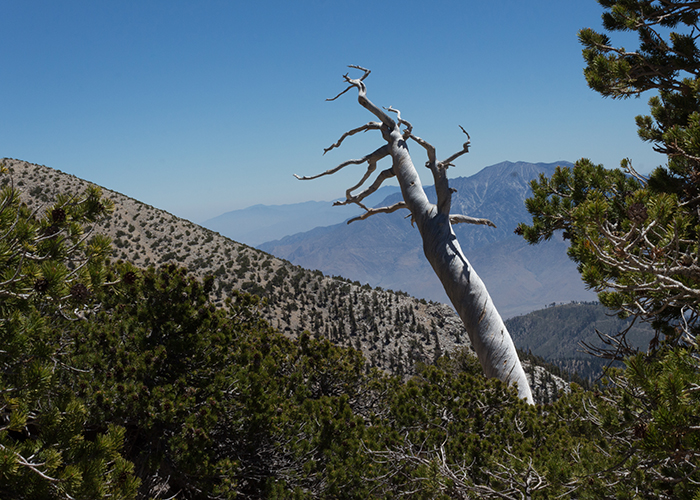
As the first fake summit came into view, the trees thinned out completely, leaving only bushes and shrubs to break up the scree! In another flashback to Mount Whitney, my steps became heavier, and my head started pounding. I couldn’t tell if it was the height or the heat or the carpet of brown haze that covered the valley as far as the eye could see. Regardless, I really should do more altitude training if I’m going to do more hikes like this in the future!
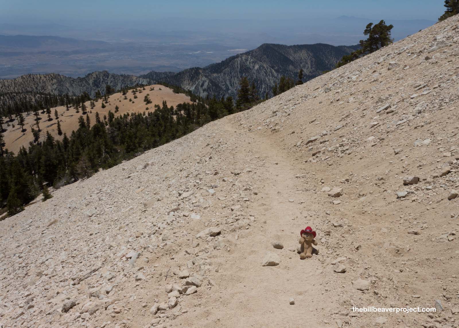 |
The last two miles were a bit of a slog for both of us. A few hundred feet, and a rest. A few more hundred, then another rest. I couldn’t breathe too deeply, or my lungs would hurt, and my head was throbbing, but I still did what I could to enjoy the views that were becoming grander and grander the higher we went.
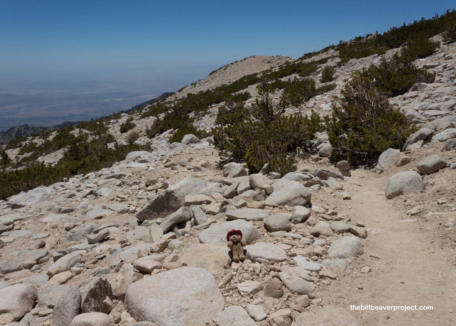 |
At last, a sign pointed the way to the real summit! We’d been hiking for 5 hours by this point and had already seen two fake summits, so I was more than ready for this to be the real one!
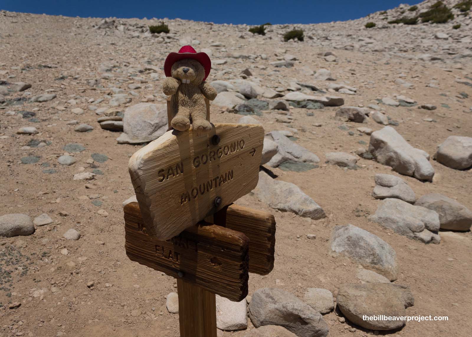 |
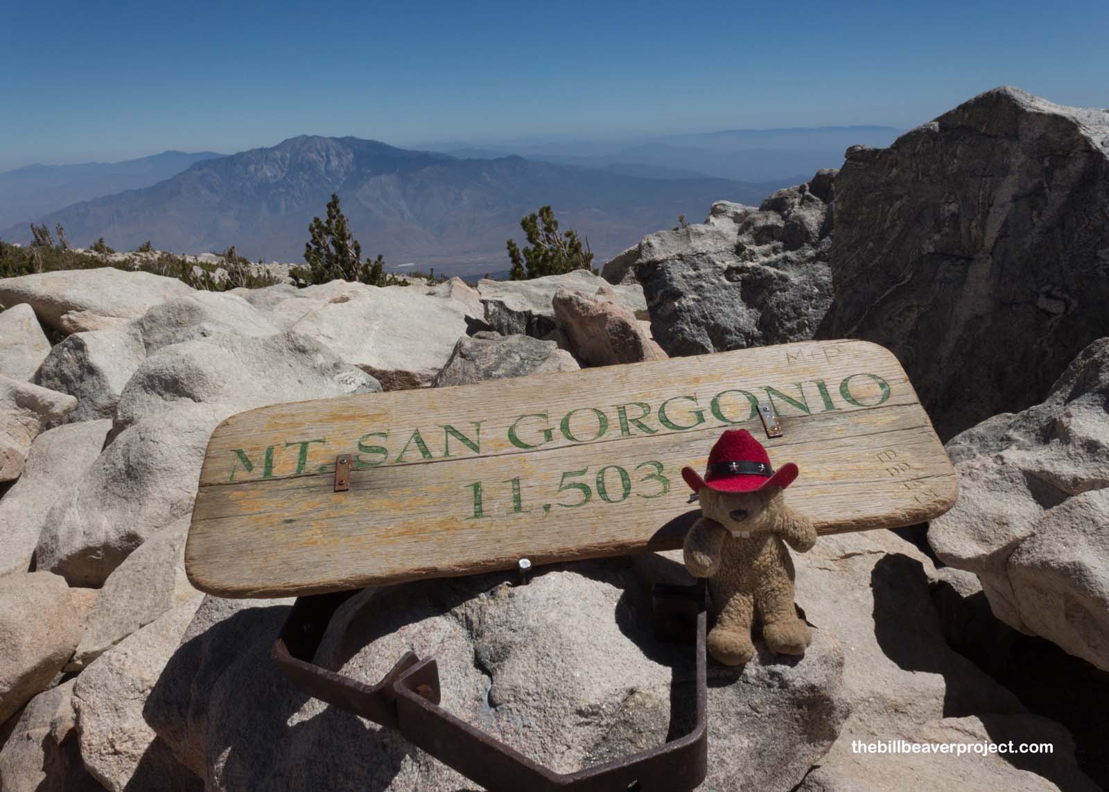
Hooray! Less than a mile later, we reached our 8.5-mile halfway point, the summit of Mount San Gorgonio, where the sign is held in place by a bear trap, and the ground squirrels will hold hikers at knife point to get at their Pringles! I may or may not have threatened to use a Deadly Art once or twice. I’d earned my snacks on this hike, even though my stomach wasn’t feeling too great at the top.
 |
So we’ve now conquered the Three Saints! Now, the question remains: what California hikes come next? There’s Potato Chip Rock down by San Diego, or Telescope Peak near Death Valley, but with summer about to heat up, it might take a few months before another SoCal hike is possible. We shall see! Meanwhile, the national park quest continues!
Gor-going home!

Second Saint |
Summit: 11,503 ft (3,506.1 m) Trail: 17.3 mi (27.8 km) roundtrip |
More Hikes |