 Previous Day |
Redmond, OR → Dayville, OR → Portland, OR 364.0 mi (585.8 km) |
 Next Day |
The air is sweet, everyone!
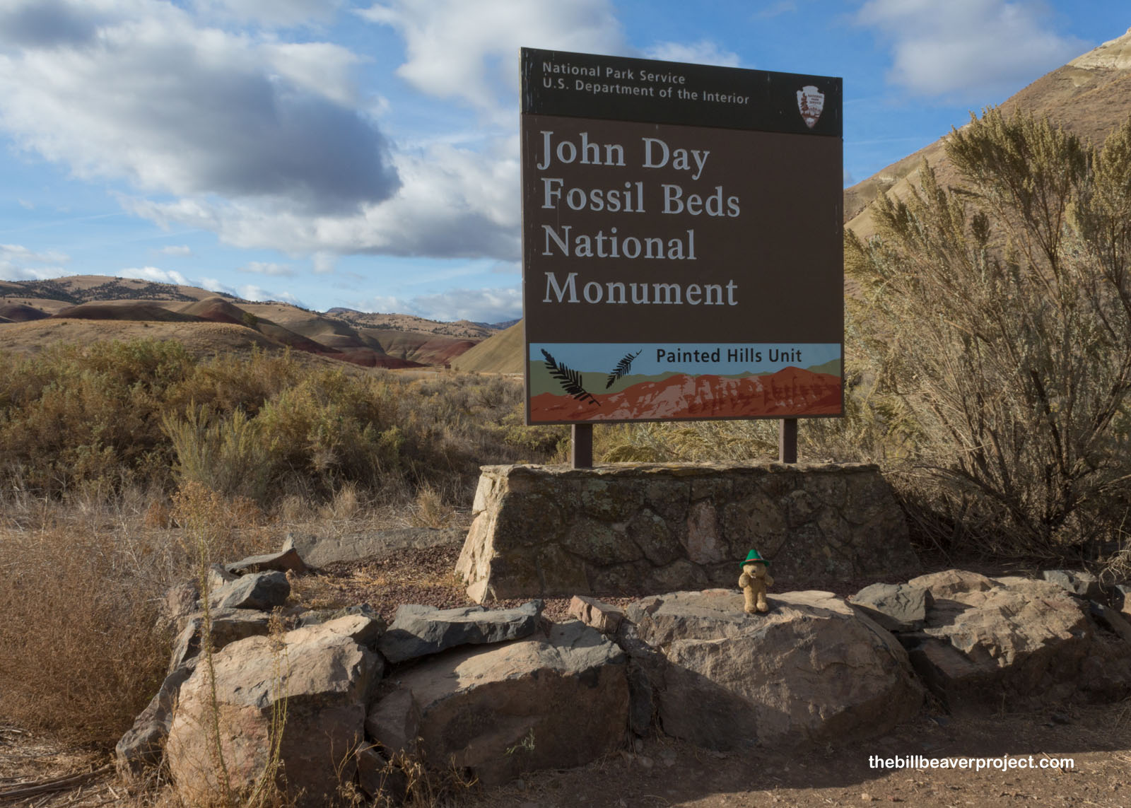
The high desert of central Oregon is pretty far from everything else, including cell reception, which told me I was in for a fresh day of natural splendor, clean air, and no traffic as I explored the three units of John Day Fossil Beds National Monument!
 |
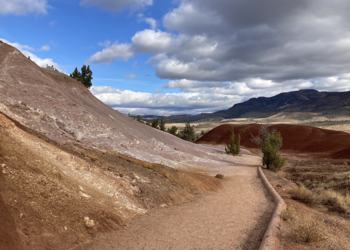
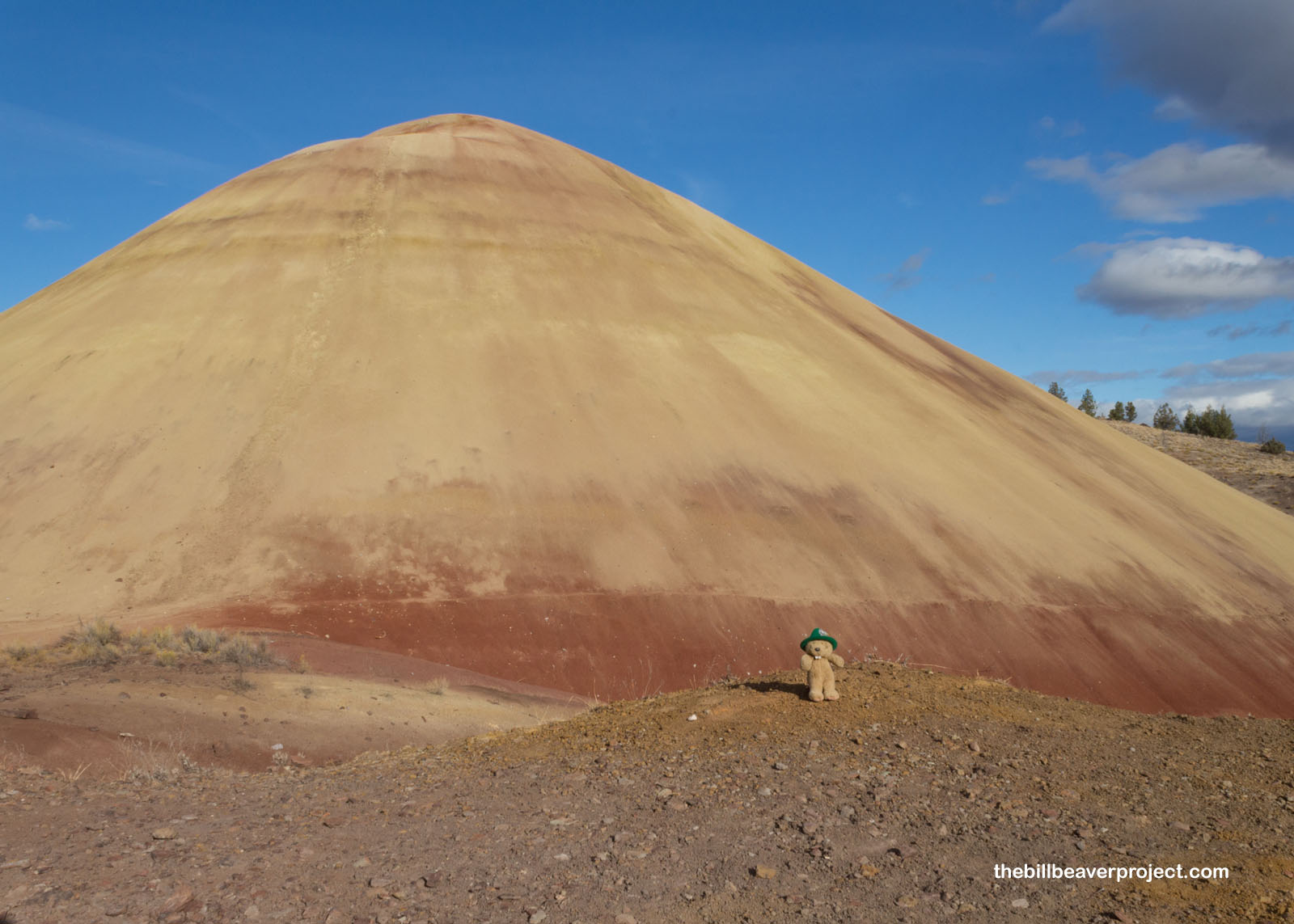
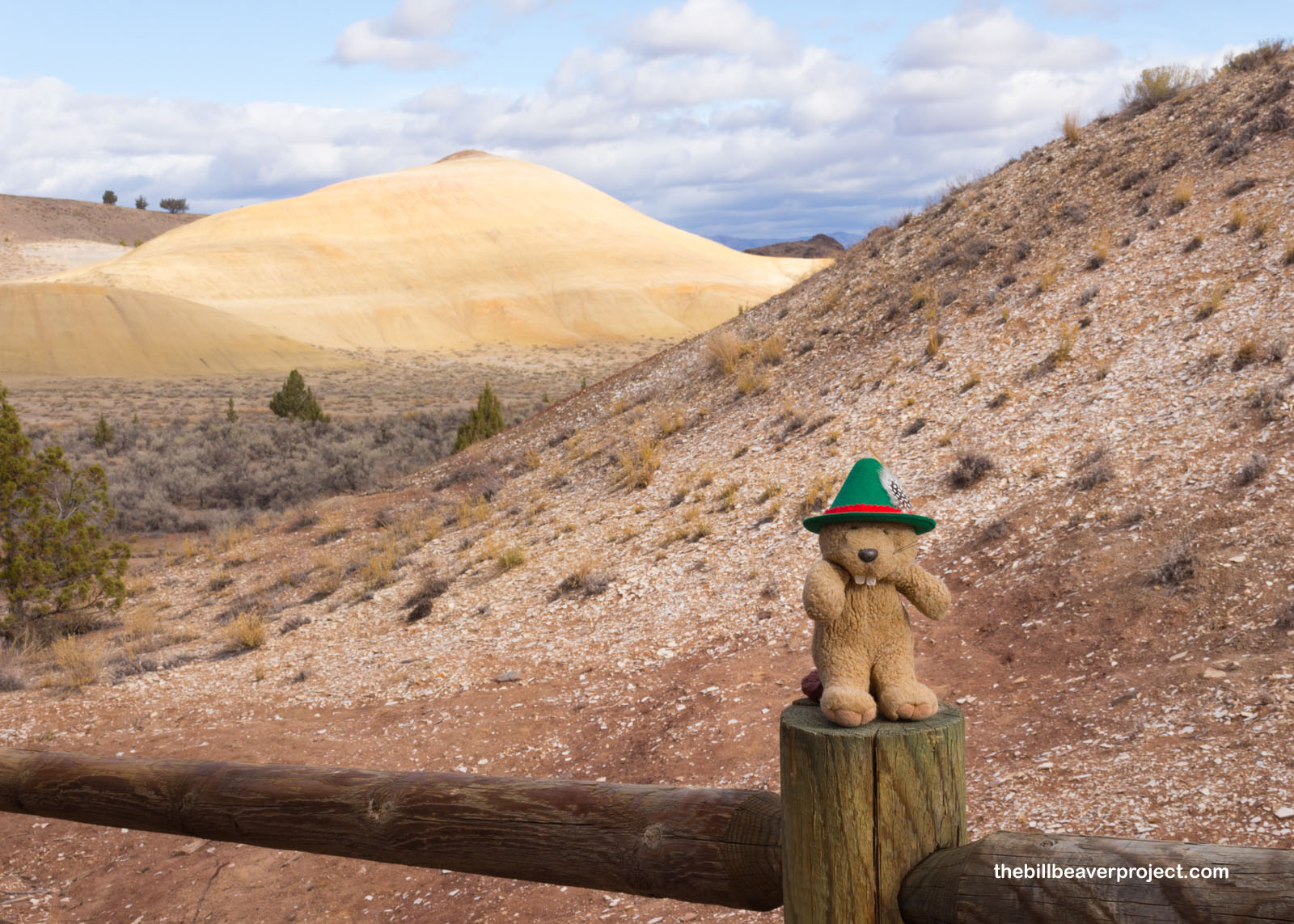
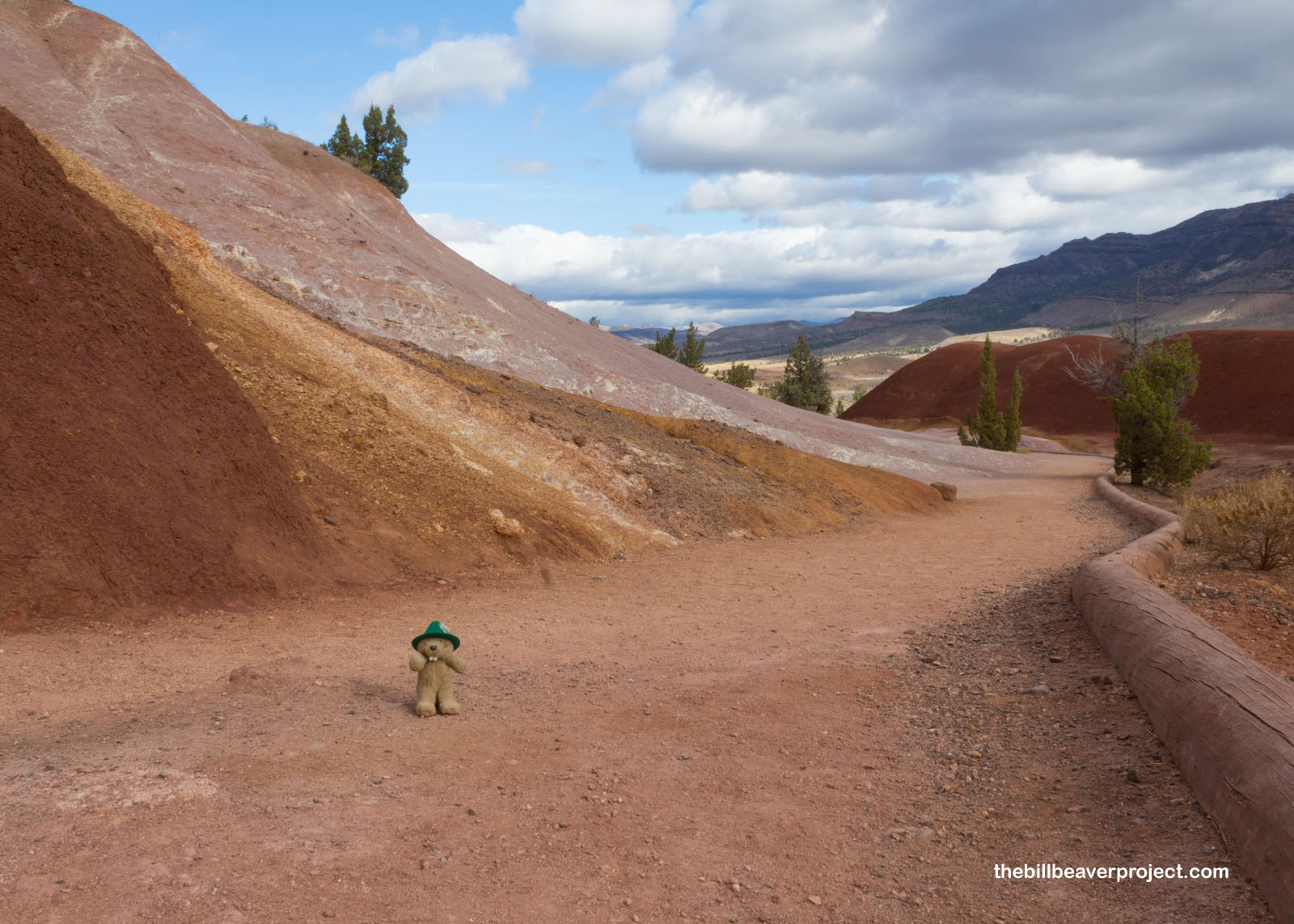
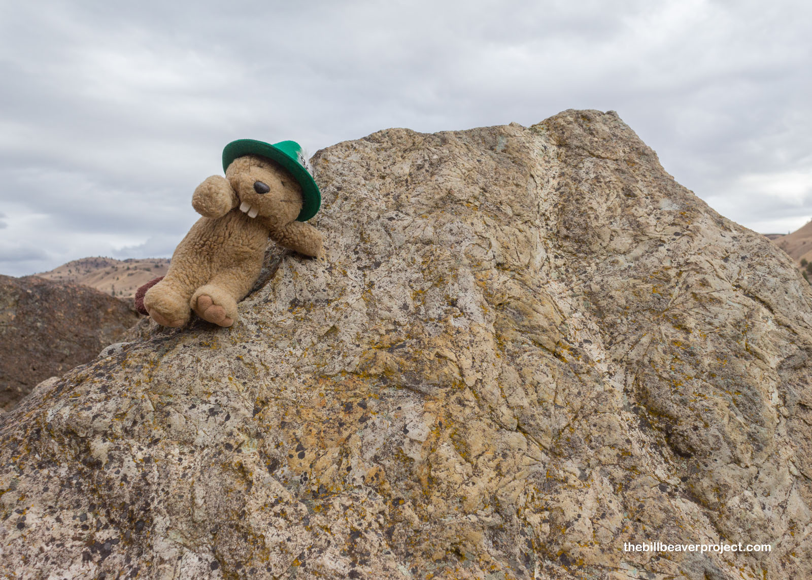
I started my adventure at the Painted Hills unit, and you can very clearly see how it got that name! Hills like Red Hill here show overlaps in vast periods of time, about 50 million years worth! The red toward the bottom of the hill shows a wet time when this area was hot and semitropical, while the yellow shows the cooling and drying out of this area into grasslands!
 |
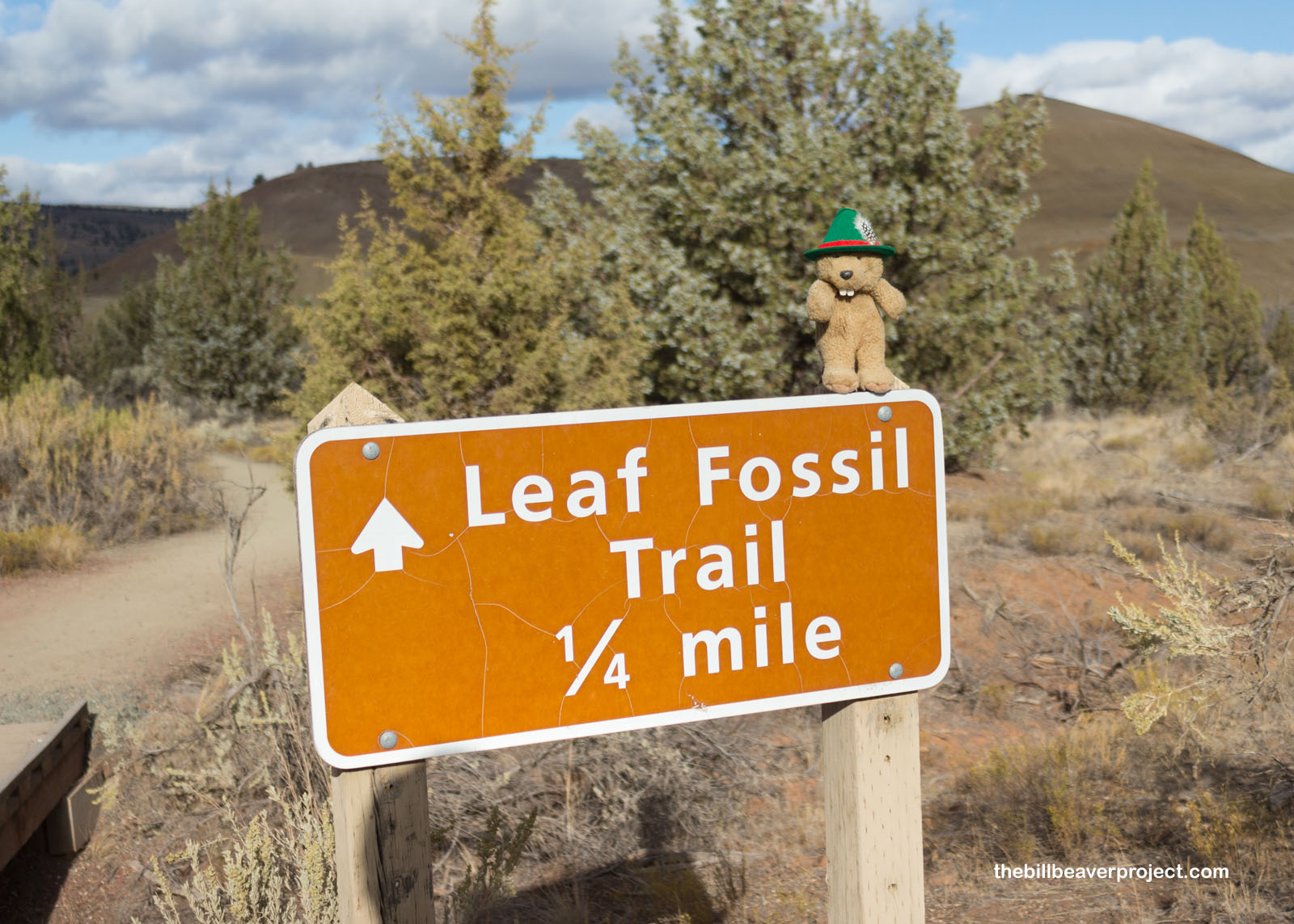
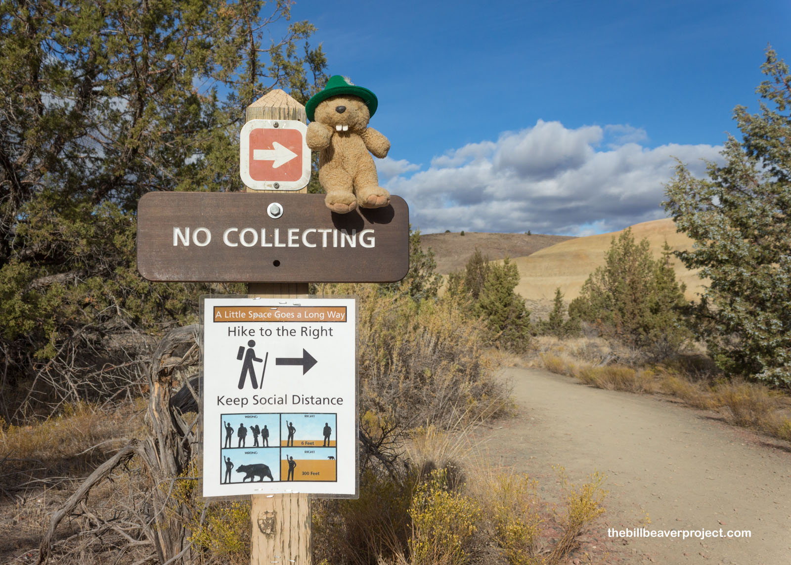
This area’s full of fossils too, just like its name suggests! After the short trail to Red Hill, I took the shorter trail to Leaf Hill, getting a reminder that a little space goes a long way. There were 266 new COVID-19 cases in Oregon today. Meanwhile there were 713 new cases back in LA County! Even though it was a little chilly, and the clouds couldn’t decide on storm or shine, visiting this remote park on a weekday was definitely the best bet during a pandemic!
 |
 |
Leaf Hill is so named because it’s full of fossilized leaves from pines, maples, oaks, and Oregon’s state fossil, the metasequoia! Like Red Hill, this one tells a tale of a shifting ecosystem from an oak-sycamore forest like the one in California now through swamps, savannas, and finally a huge forest that got destroyed by a volcanic eruption, much like the Florissant redwoods!
 |
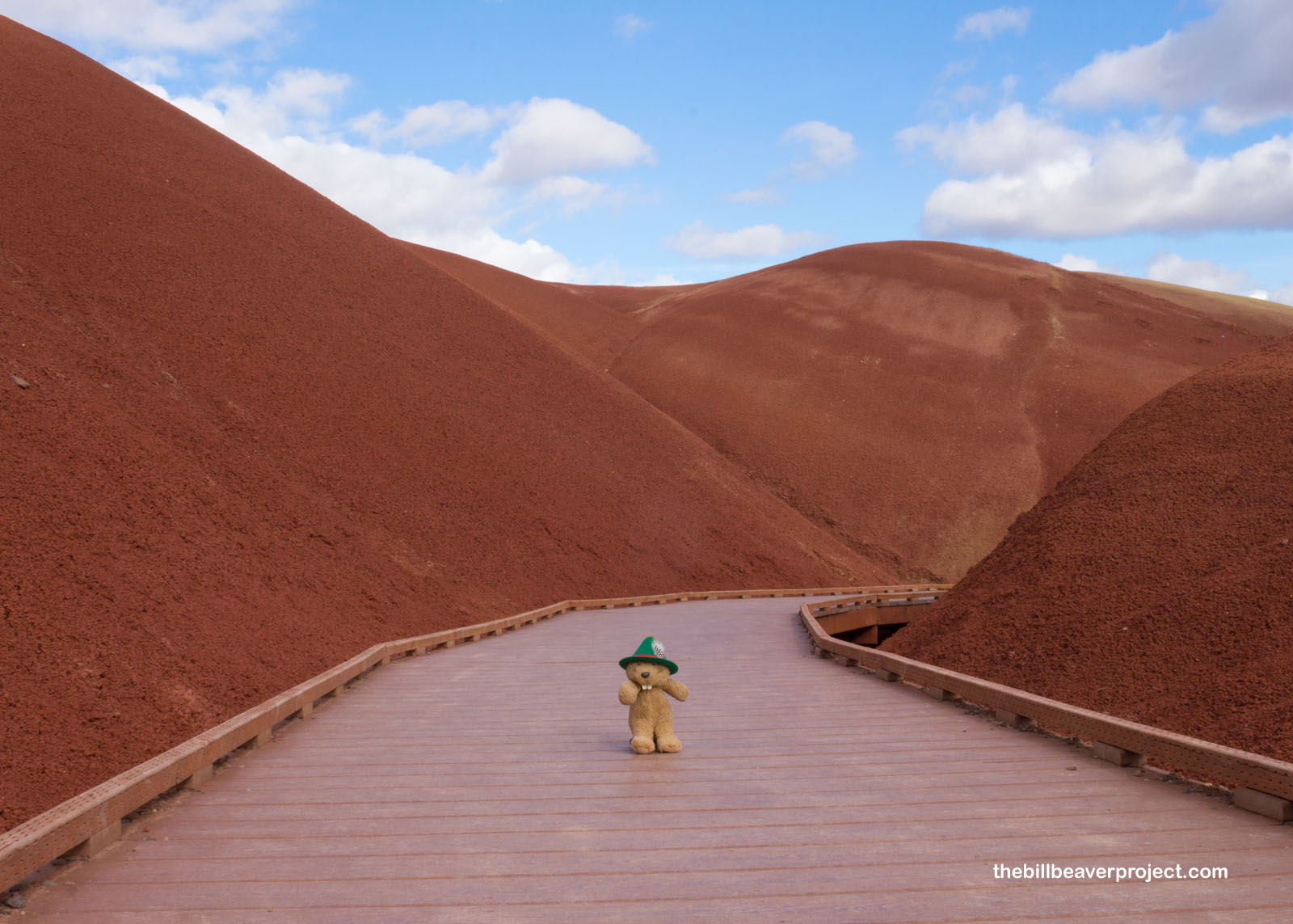
My third stop on this tour of the Painted Hills Unit was Painted Cove, the most brightly painted section I’d seen so far!
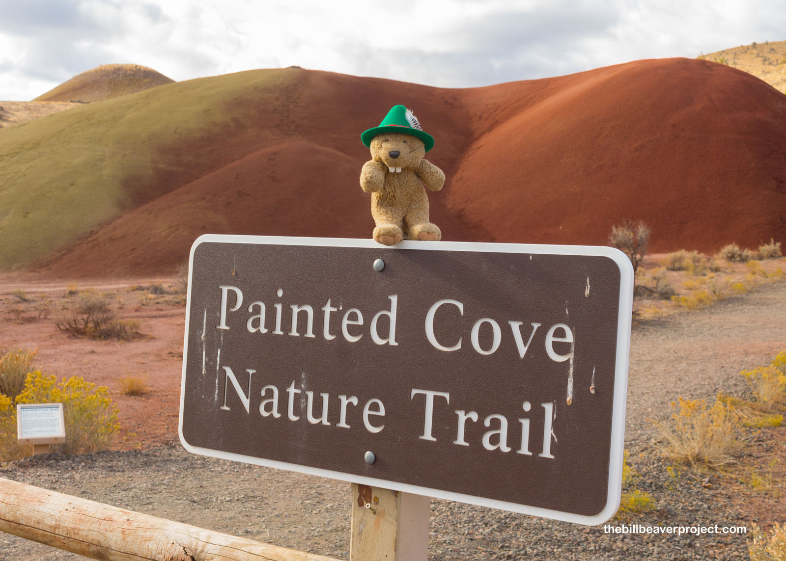 |
The iron-rich red soil in the Painted Cove means this segment was part of a swamp, and because of that, scientists have questions about our planetary neighbor, Mars! If ancient swamps can leave behind dry, red soils on earth, could that also have been the past Martian landscape?
 |
 |
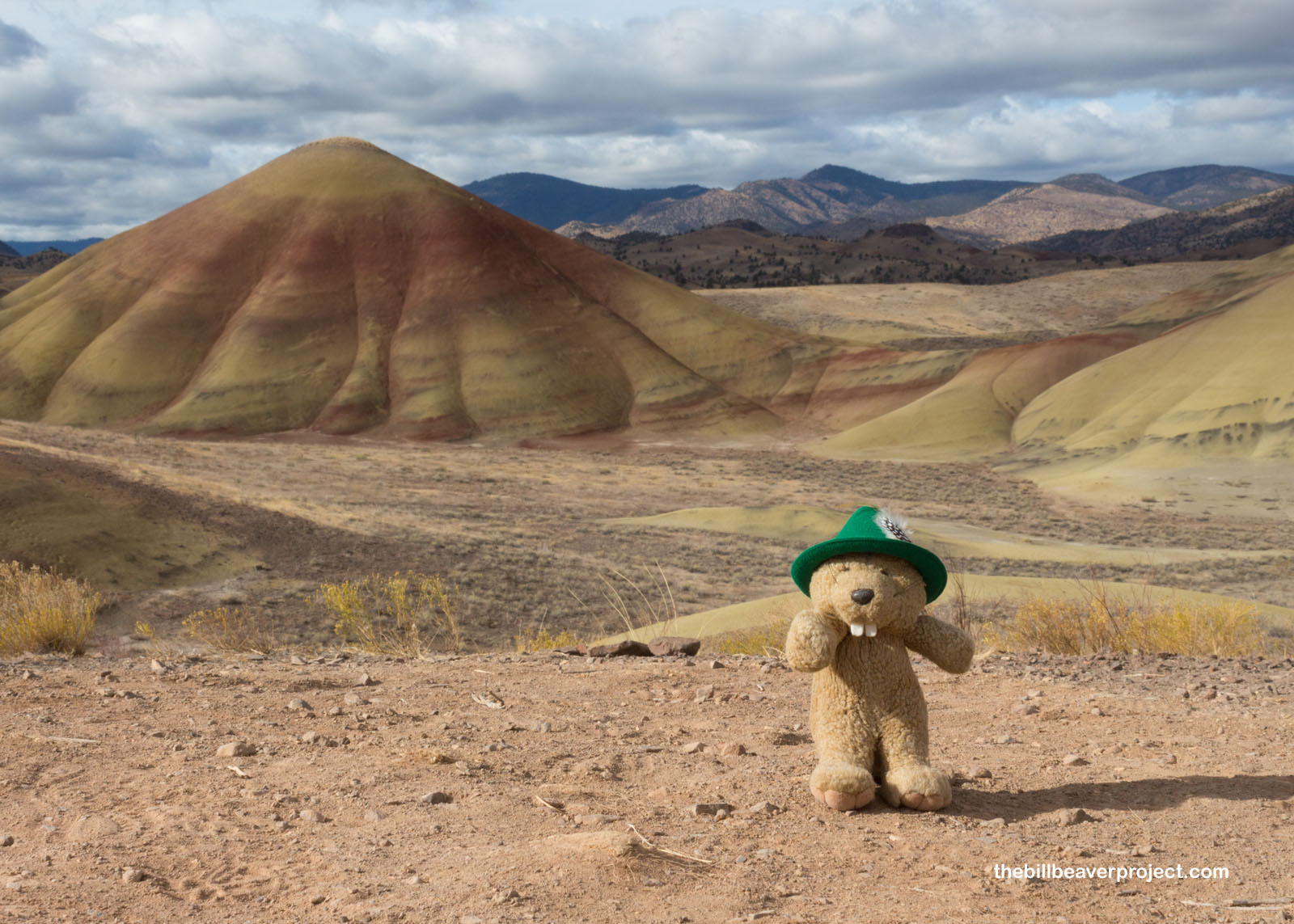
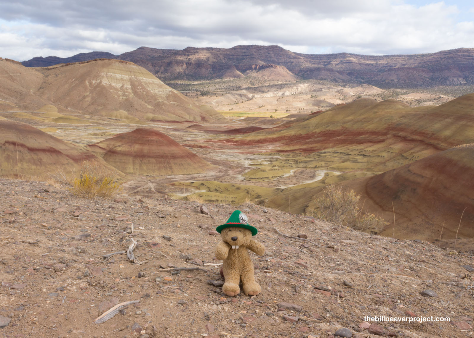
My last stop in this section was at some overlooks of the Painted Hills, which really gave some nice, big picture views! Here I got to learn about why this park was named for someone who had never been here. John Day was a trapper with the Pacific Fur Company in Astoria, who got robbed at the mouth of the Mah-Nah River. Since people generally liked him, they started calling the Nah-Nah River the John Day River instead. That river ran all the way to the desert where its erosive forces helped expose the fossils here. Thus, the John Day River gave John Day Fossil Beds National Monument its name!
 |
 |
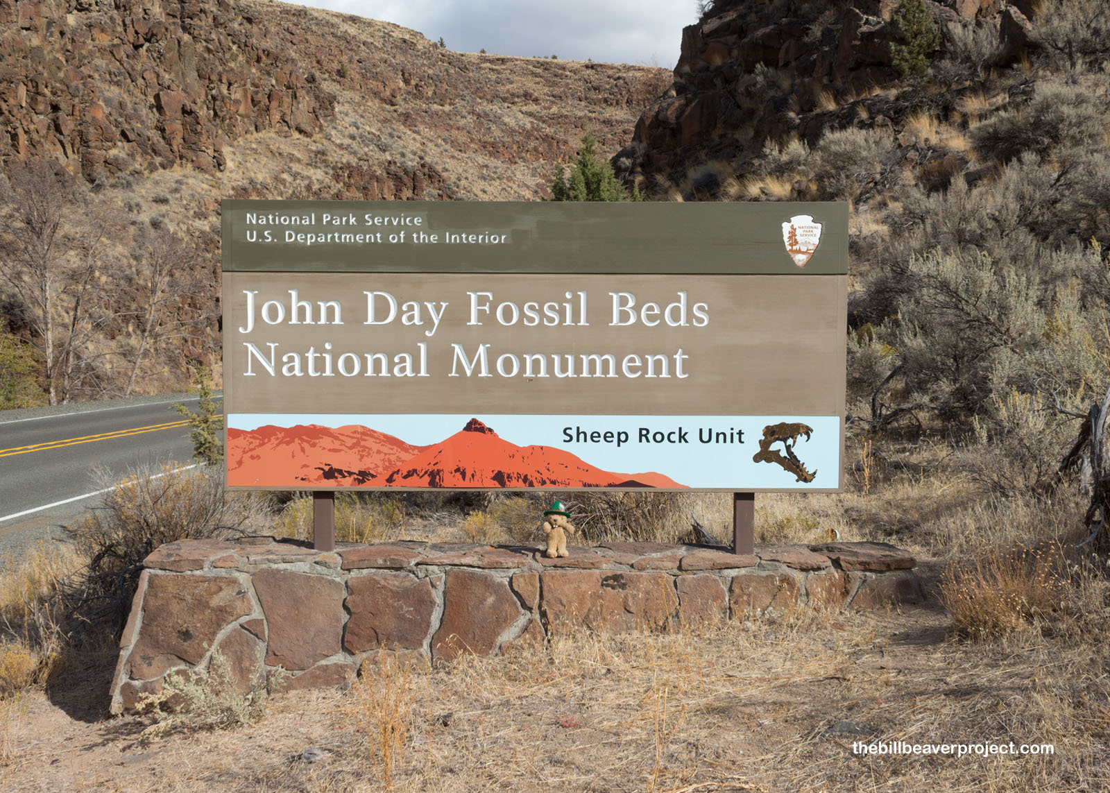
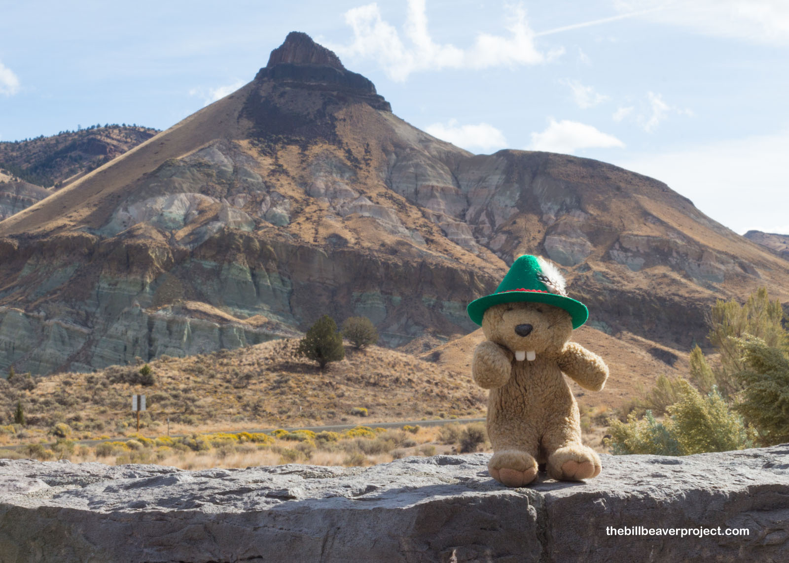
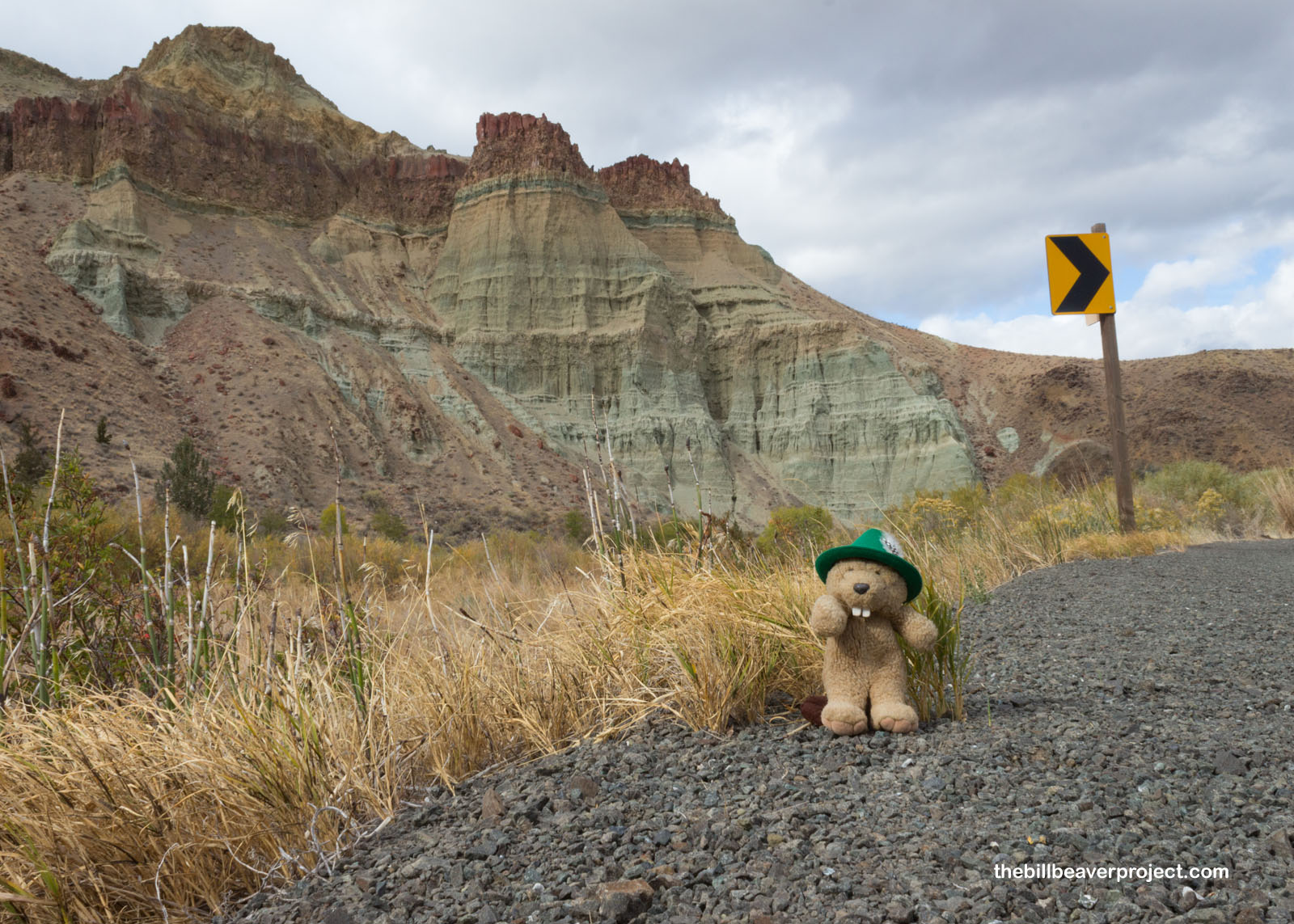
I continued down the road as the clouds got the upper hand in their wrestling match with the sun, and arrived at the park’s second unit: the Sheep Rock Unit! I immediately wanted to know who was the sheep that named the rock here. I was about to find out!
 |
It turns out that Sheep Rock wasn’t actually named by a sheep. That’s a human custom! It got its name from the many bighorn sheep that used to be found here. Like most of America’s wildlife, these sheep are much scarcer now.
 |
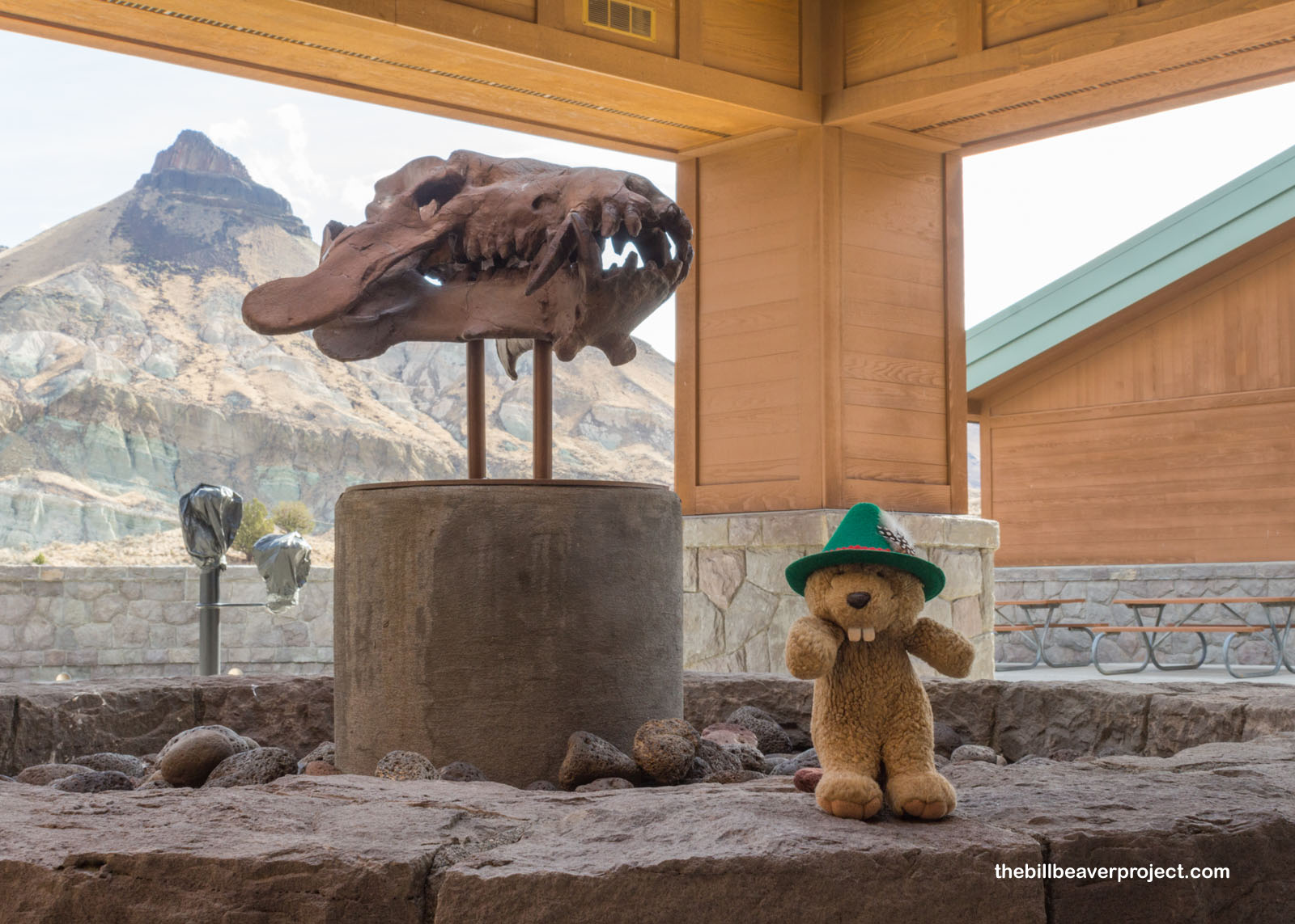
The Sheep Rock Unit is home to the Thomas Condon Paleontology and Visitor Center, which houses over 500 of the park’s best fossil specimens from tiny leaves to huge brontotheres! All I could see today was the single skull of an Acheanodon, sort of like a cross between a bear and a pig and probably not one to be trifled with! I also learned that Thomas Condon, a Congregationalist minister and amateur scientist, was the first to excavate fossils here in 1865. He also sent the first samples from this site to the Smithsonian and later became Oregon’s first State Geologist!
 |
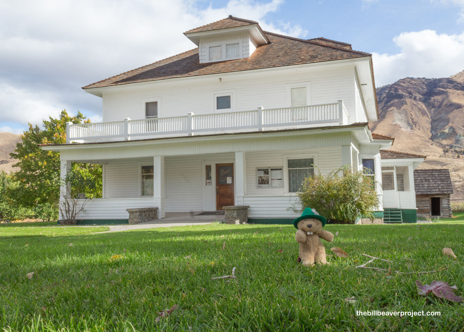
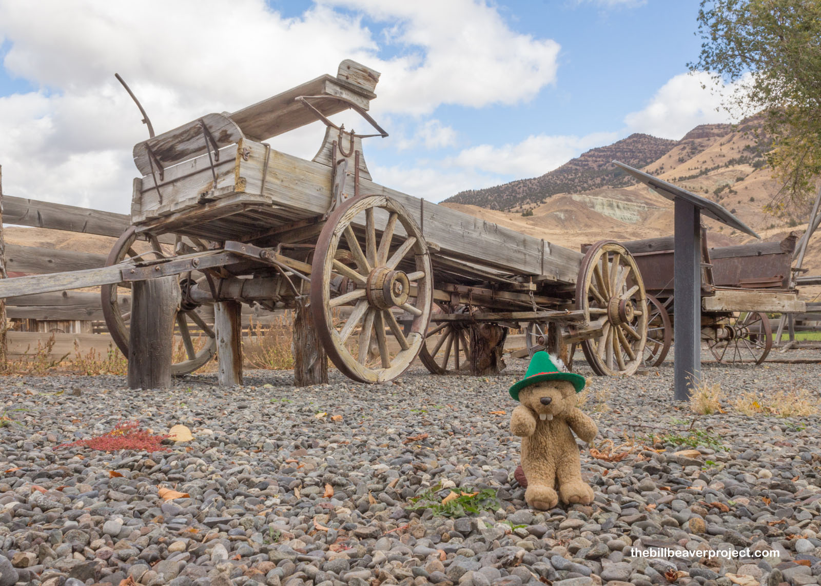
This area wasn’t just used for digging up fossils, though! Down the road, the house and orchard of James and Elizabeth Cant are still preserved on the site where they set up their ranch in 1910! They raised pigs, chickens, wheat, apples, and four children! To make sure their kids got educated in this remote location, they built a schoolhouse on their property and had a teacher come to live with them!
 |
 |
There are tons of hiking trails within the Sheep Rock Unit, but I had my eye on the sky. It was telling me “Rain’s on its way!” so I continued my journey with just a quick stop to appreciate the geology of Cathedral Rock!
 |
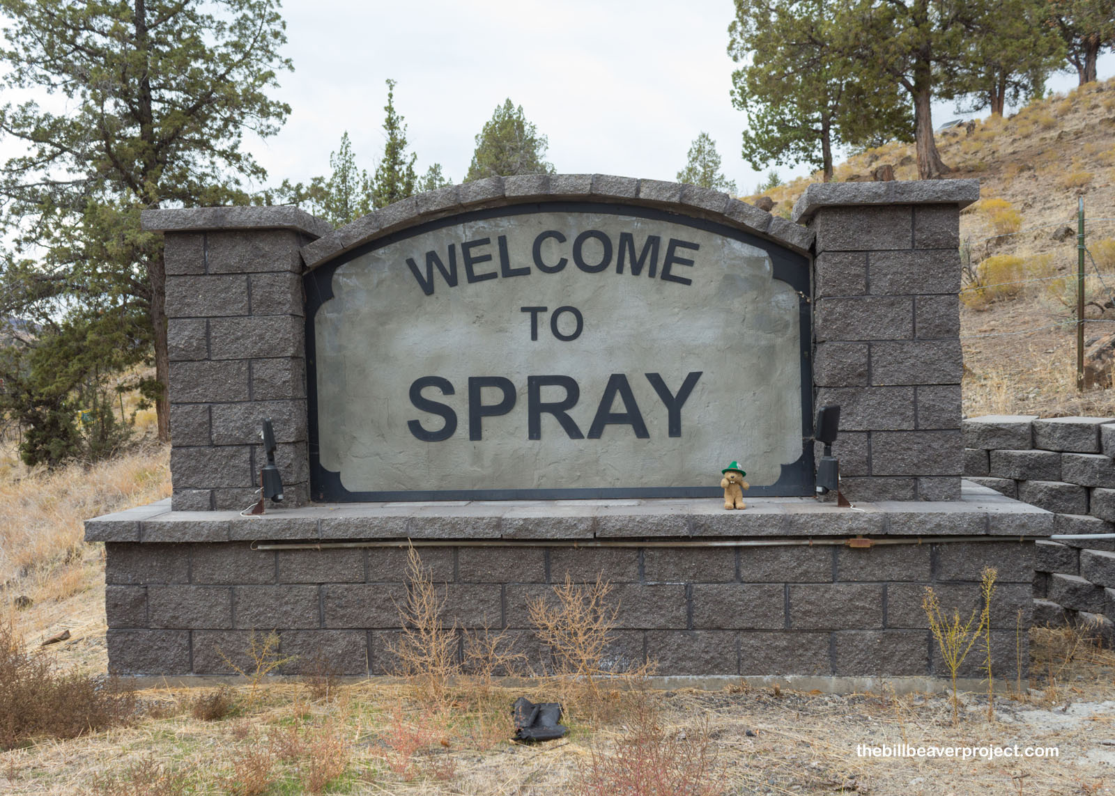
Between units, I passed a sign that said “Spray,” which was such an odd name for a town, I had to stop for just a bit and find out why the heck it would have such a name. Turns out, Spray was the last name of their first postmaster, John Fremont Spray!
 |
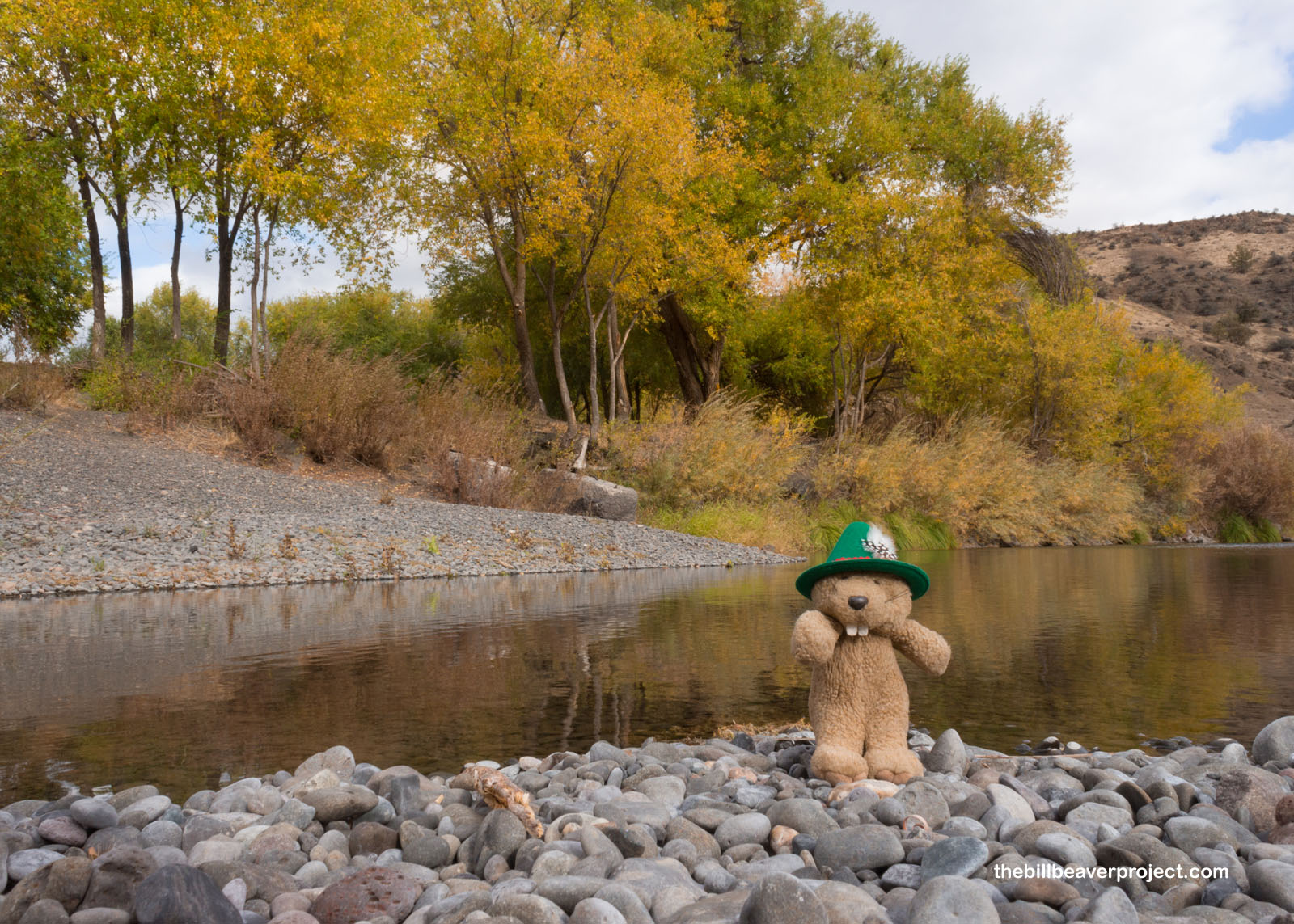
The town was also situated perfectly along the John Day River, where I realized I hadn’t taken the time to celebrate Lastleaf yet! Though there were some pretty annoying wind gusts, I budgeted at least fifteen minutes to frolic under the autumn leaves before moving on!
 |
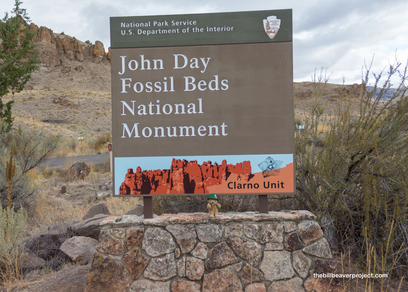
After a long, winding way, I arrived at the last of the three units in John Day Fossil Beds National Monument: the Clarno Unit! This unit got its name from Andrew Clarno, an early settler in the area, and promised to be the only place in the park where I could see fossils still in the rock!
 |
I got a little lost going back and forth on the trails, but I did finally reach the fossils in question: leaves! These weren’t little splotches on stone that could be mistaken for dendrites. Oh no, these were super detailed and delicate impressions! It was almost like someone had raked up a bunch of autumn leaves then flash-turned them to stone!
 |
 |
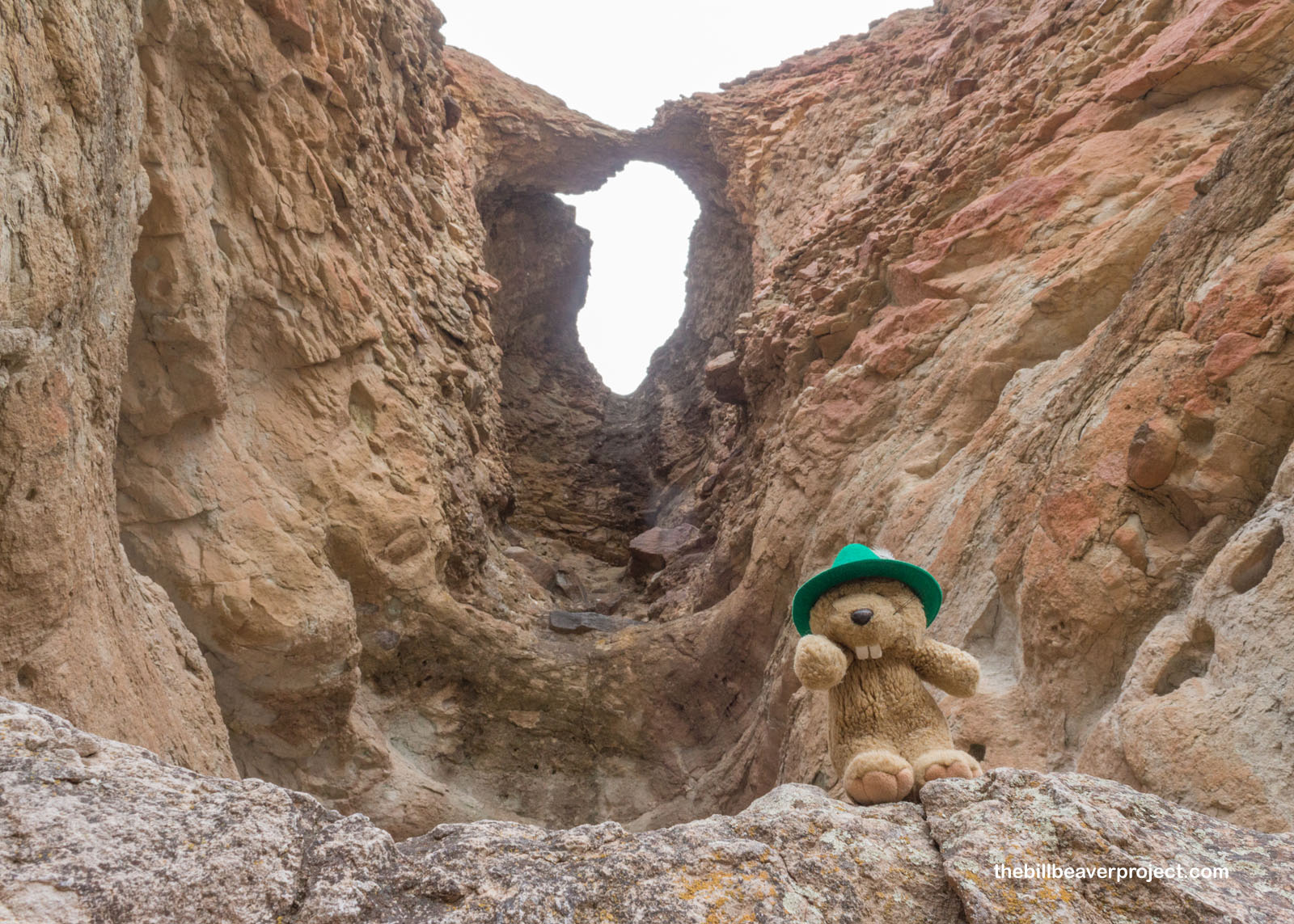
My last sight as it started to get darker, colder, and more threatening, was the Clarno Arch, a natural arch up a winding trail along the Palisades! These palisades are made up of volcanic lahar, a type of mud left behind after a cataclysmic eruption! I got a good long look before the rain started to sprinkle down and sent me back to shelter.
 |
At the end of the day, the clouds won out over the sunshine, but that didn’t stop me from discovering some amazing sites at John Day Fossil Beds National Monument. I’m miffed that COVID had to happen and close the museum, but maybe I’ll be able to come back and experience it fully one day. Until then…
I’ll be taking my leaf!

Previous Day |
Total Ground Covered: 733.0 mi (1,179.6 km) |
Next Day |