 A Bit Earlier |
Zuni, NM → Albuquerque, NM 223.0 mi (358.9 km) |
 More 2022 Adventures |
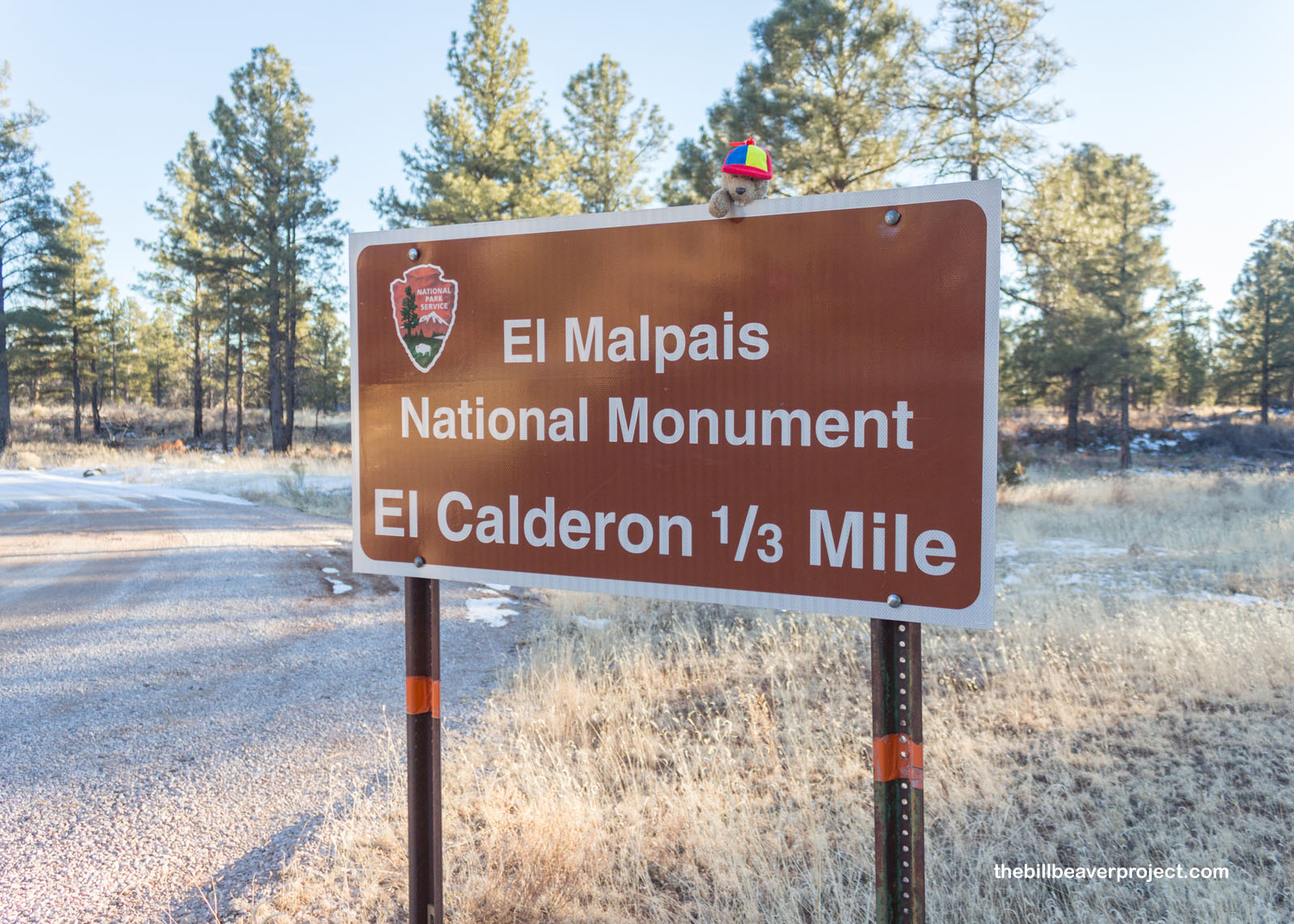
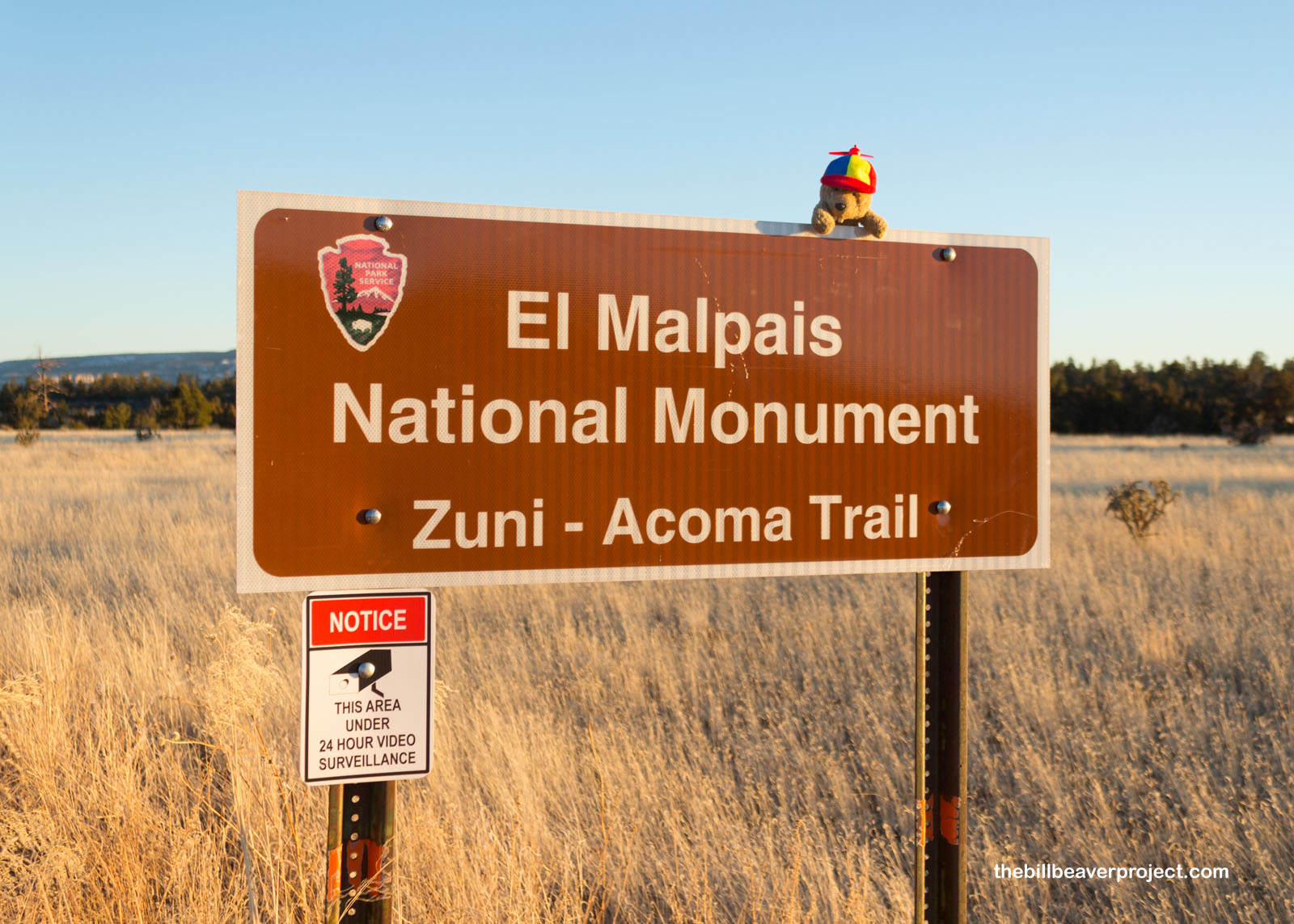
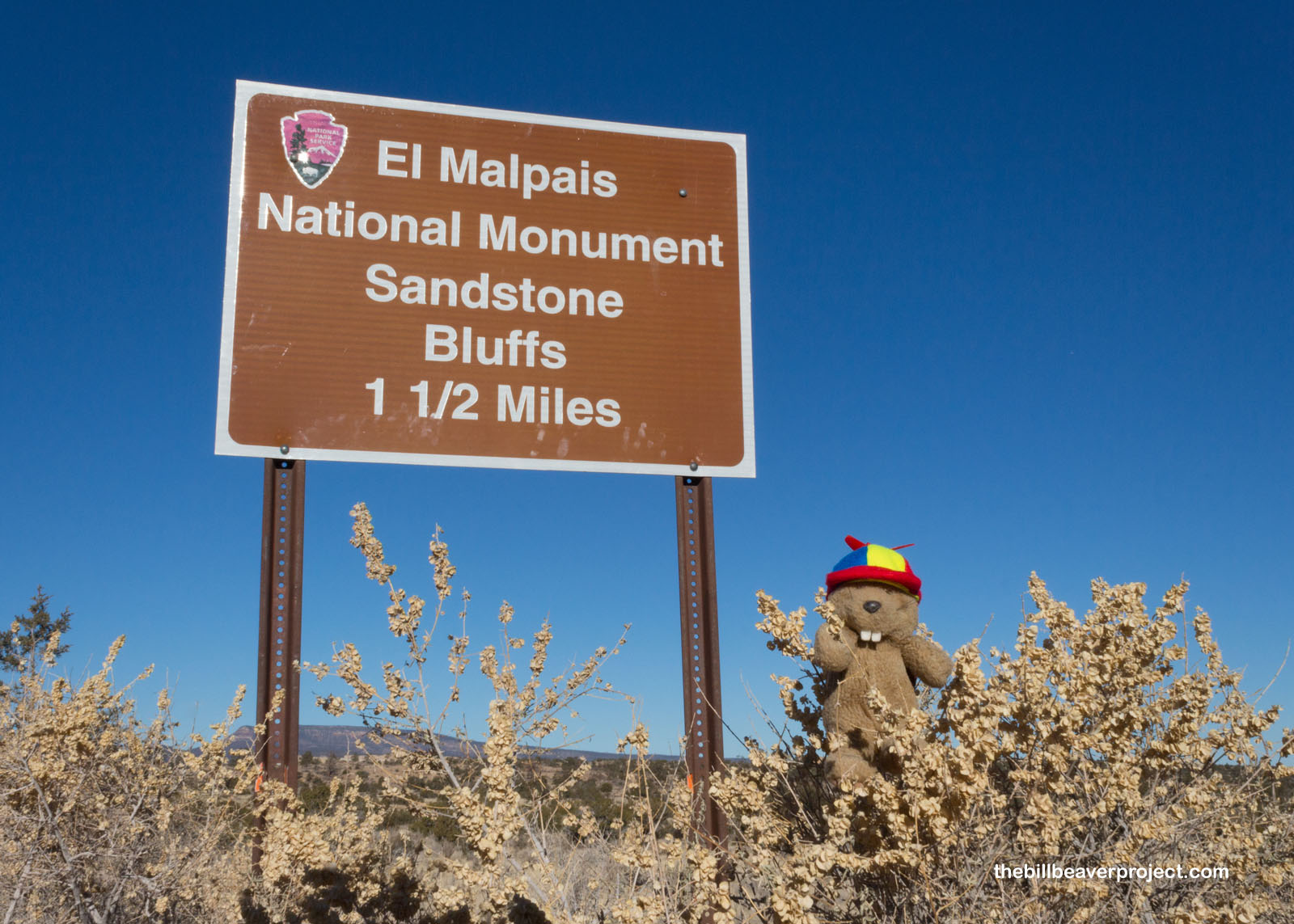
Hello again, malpaisanos!
I don’t often split up days when I’m writing adventure blogs. In fact, the last time I did was almost four years ago in Oklahoma! In any case, I took so many pictures on my explorations of El Malpais National Monument on both April 26th and 27th that it made sense to make this a thematic post! So without further ado, here’s what happened when I visited four sections of “the bad country!”
 |
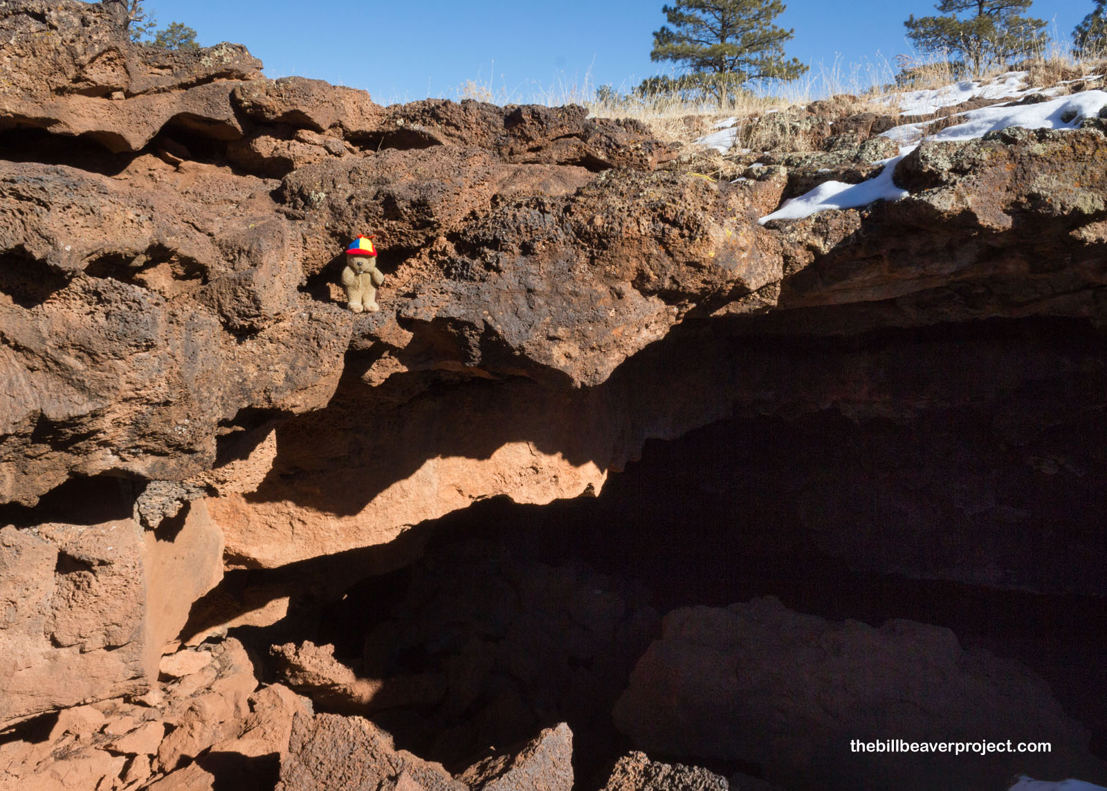
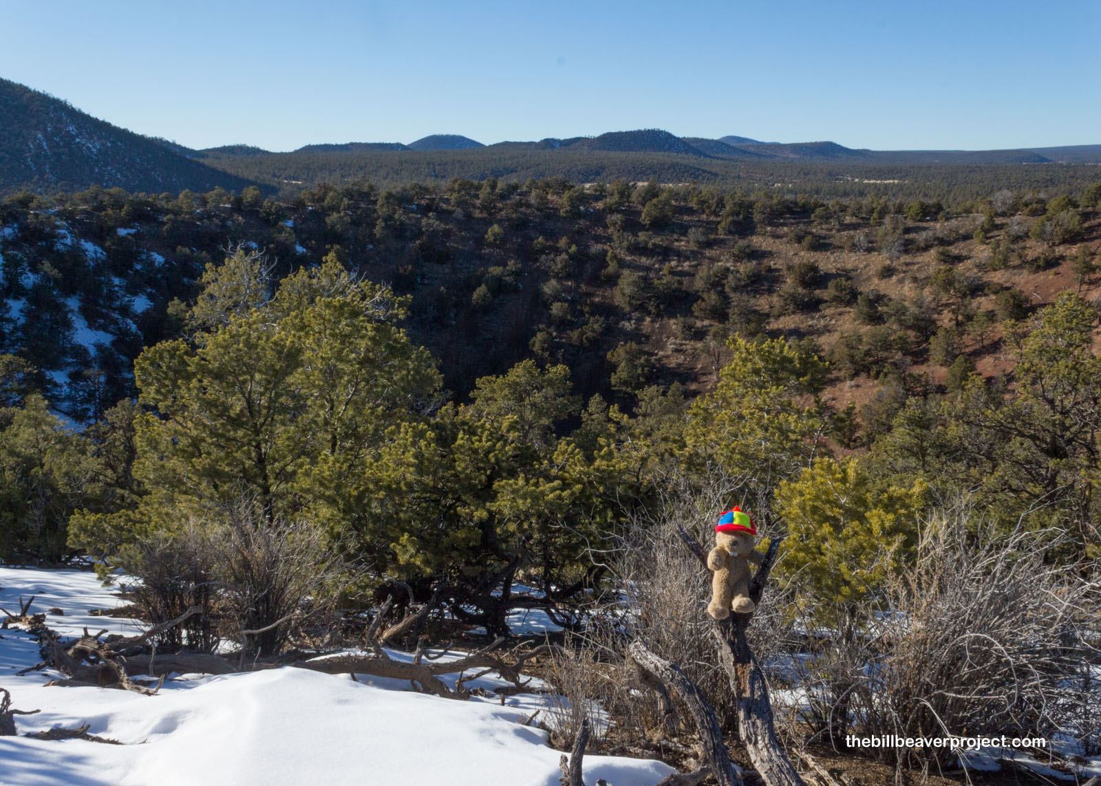
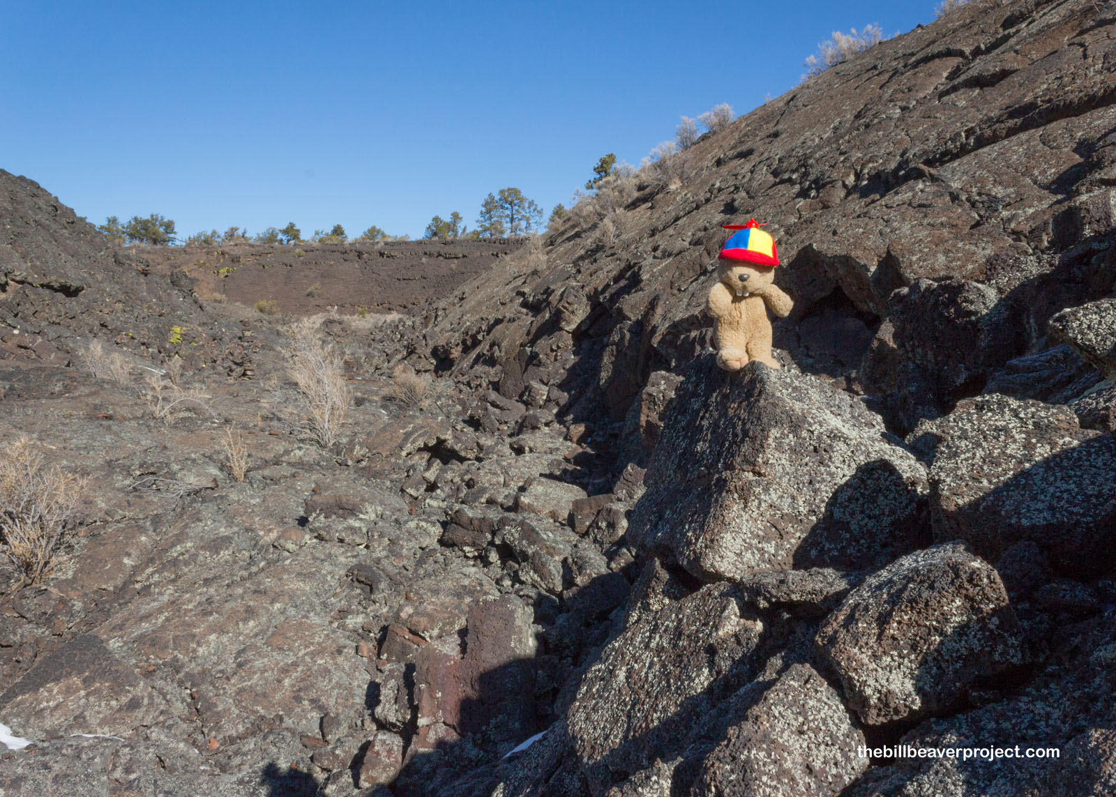
When I was first planning the trip, I wasn’t sure if I was going to be able to make the entire El Calderón Loop before dark. I had no idea how precarious it would be or how much ice I’d have to navigate. Lucky for me, when I couldn’t get a tour of Zuni Pueblo, it freed up a whole bunch of time and daylight! I was definitely going to make it on this 3-mile loop, and one of those reasons was because all of the super neat lava tube caves were closed! There were a couple of reasons for this. For starters, the caves here are all spelunking caves, not tour caves, so folks need a permit to access them (you know, in case someone gets lost). With COVID-19 restrictions still spread across the National Park Service, the rules now are the same as they were two years ago. There isn’t enough staffing to issue the permits or run rescues right now!
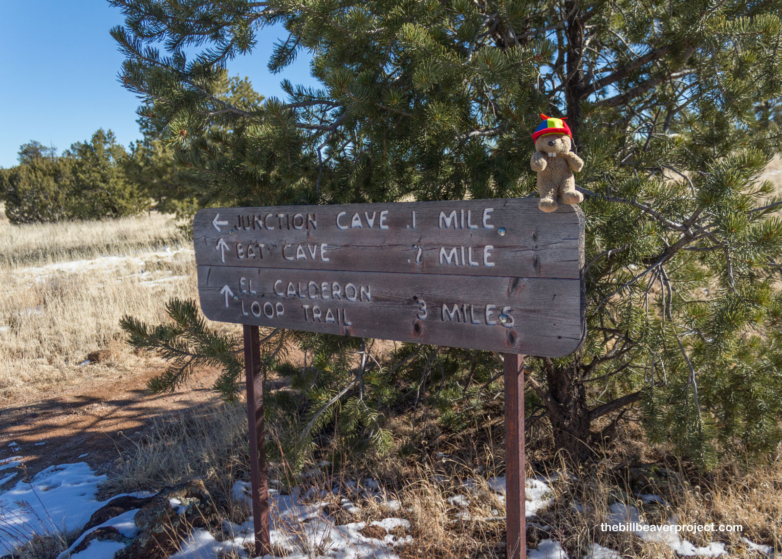 |
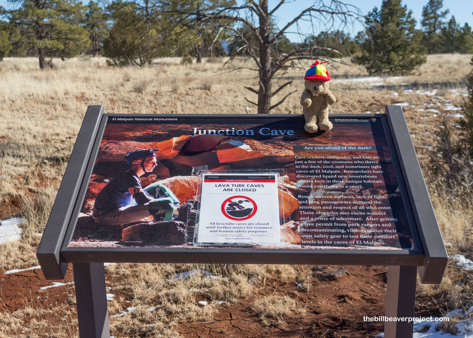
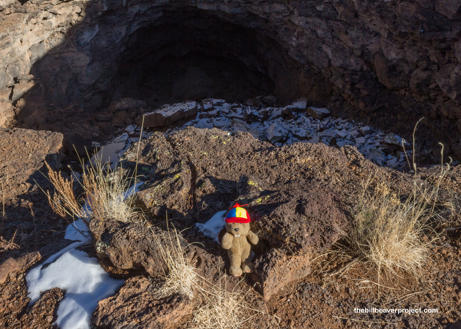
So I ventured down into the sink at the entrance to Junction Cave, one of the monument’s oldest at 115,000 years! Hidden behind the entrance is the monument’s largest hibernaculum for Townsend’s big-eared bats and a ton of unique cave-loving species, including unique types of plant hoppers, mites, and bristletails!
 |
 |
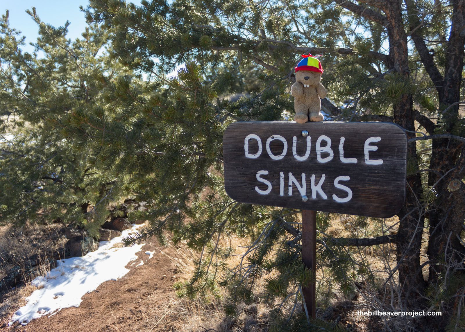
So for now, I’d have to imagine the mysteries that lay beyond these openings, like the massive Double Sinks, made of collapsed lava tubes 80 feet deep on both sides of the trail!
 |
 |
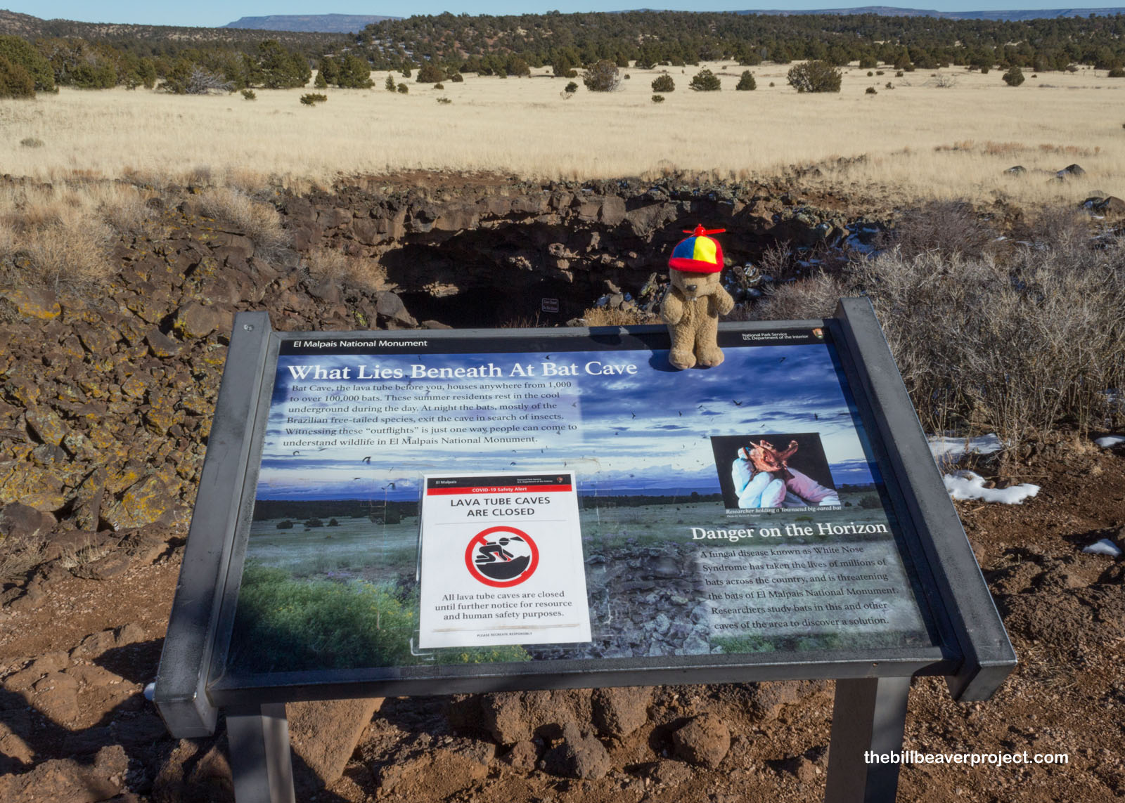
Next up, I arrived at Bat Cave, which gave another really good reason why the caves were closed. The Park Service doesn’t have the resources right now to screen visitors against White Nose Syndrome, which has already killed millions of bats since it first appeared in 2006! So for now, these neat caves have to stay closed to protect the 1,000 to 100,000 Brazilian free-tailed bats who call these caves home!
 |
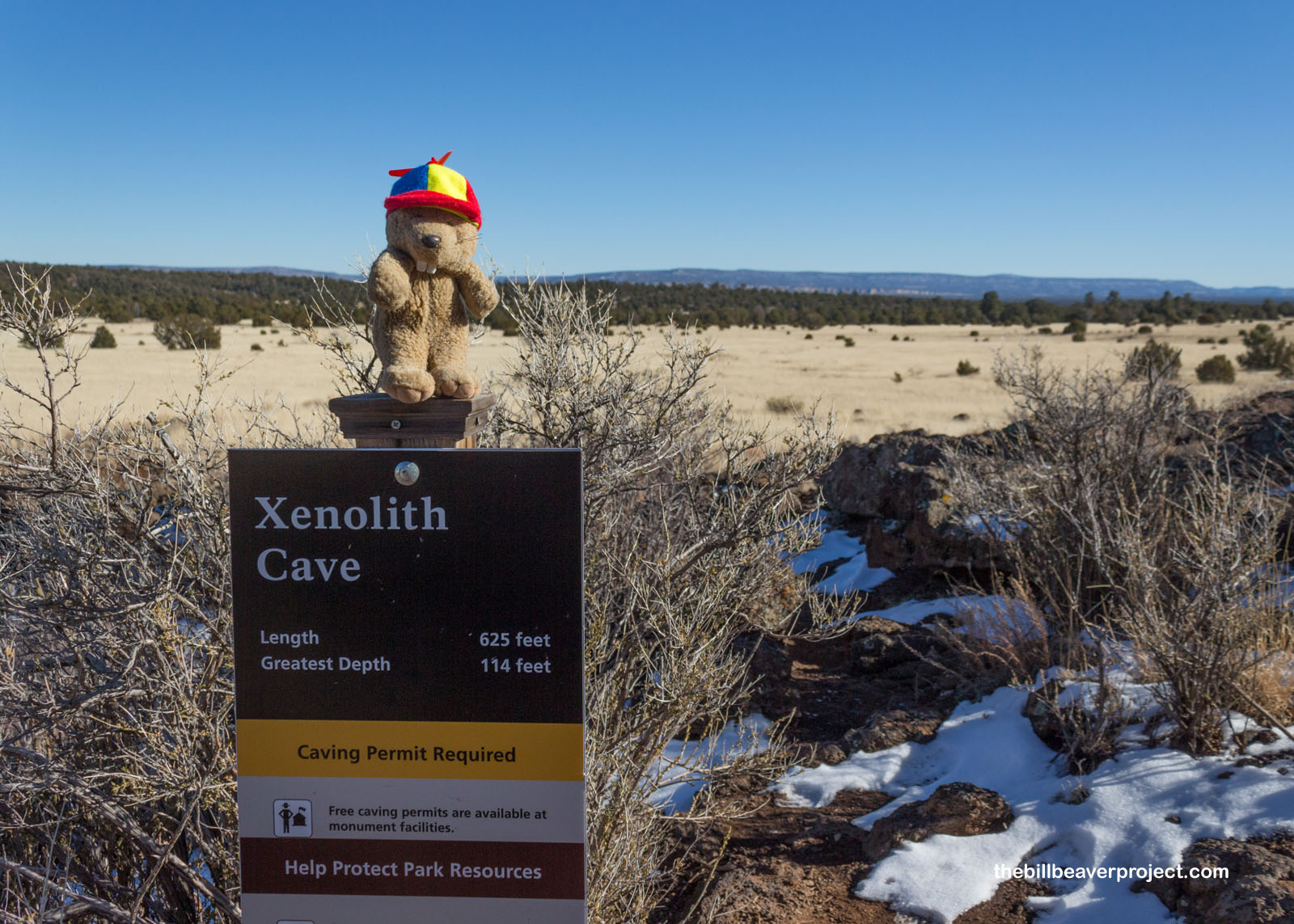
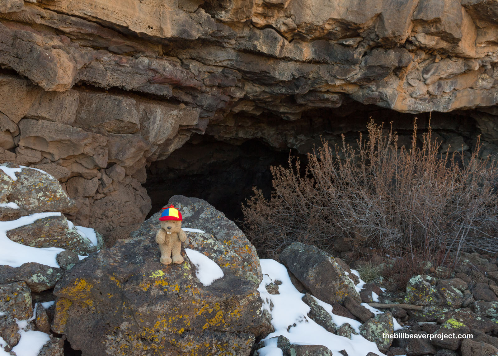
So I didn’t venture beyond the entrance of Xenolith Cave, even though it sounded really cool! While I imagined wild and bizarre rock formations inside, a xenolith is actually just a chunk of one type of rock that gets embedded in another type of rock during formation! In Xenolith Cave, these are chunks of limestone and sandstone that got picked up by erupting lava!
 |
 |
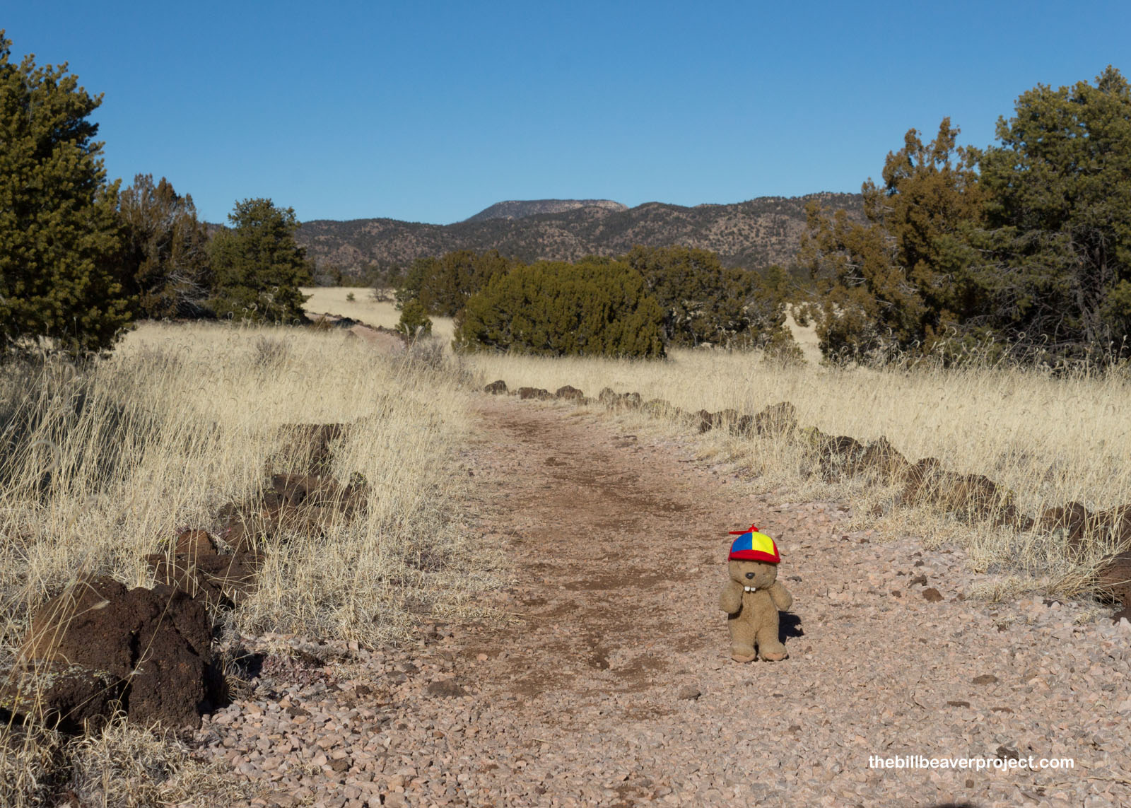
Had I spent more time at the caves, there’s no way I would have gotten much farther from the parking lot, so with the time I had available, it ended up being a good thing I couldn’t explore them further. It was also convenient that the trail turned out to be low and slow, like a Texas smokehouse!
 |
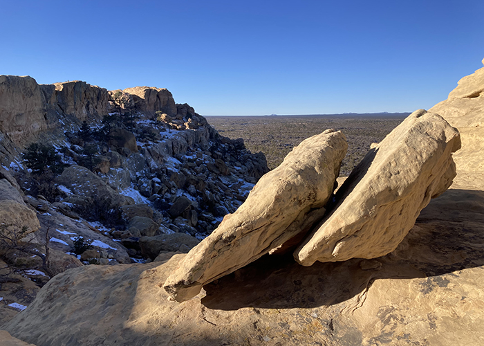
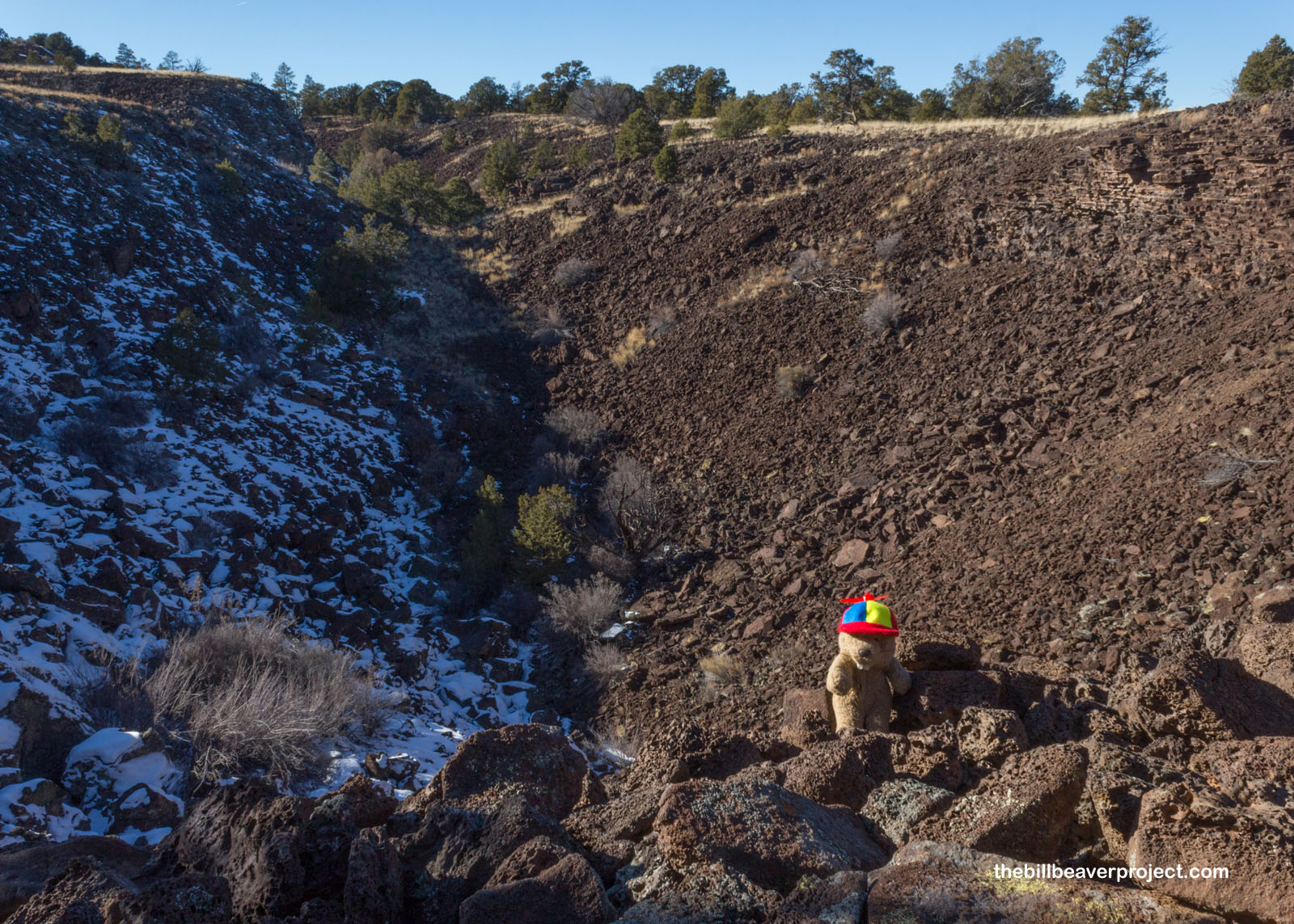
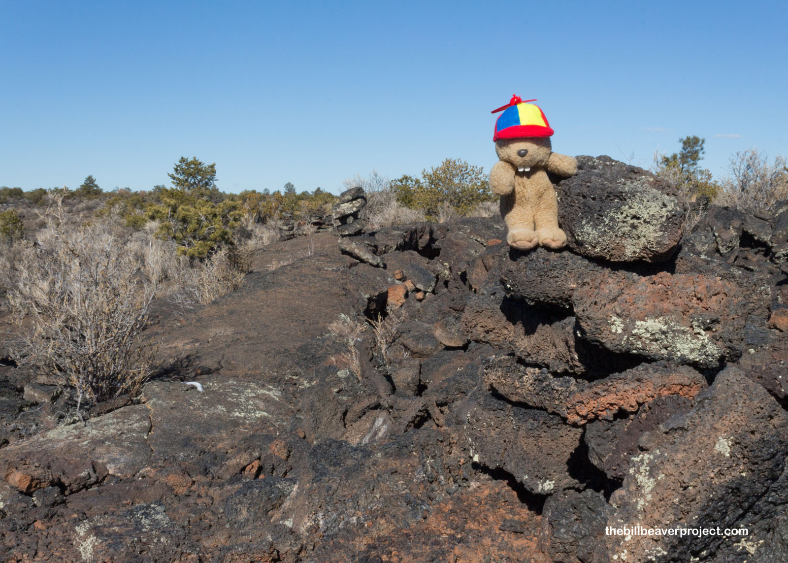
After a slight ascent, I saw my first trace of the Calderón, or ancient volcanic opening. This trench was formed by the same process as the lava tubes, but unlike the lava tubes, the roof collapsed over the flow, creating an open groove rather than a tunnel!
 |
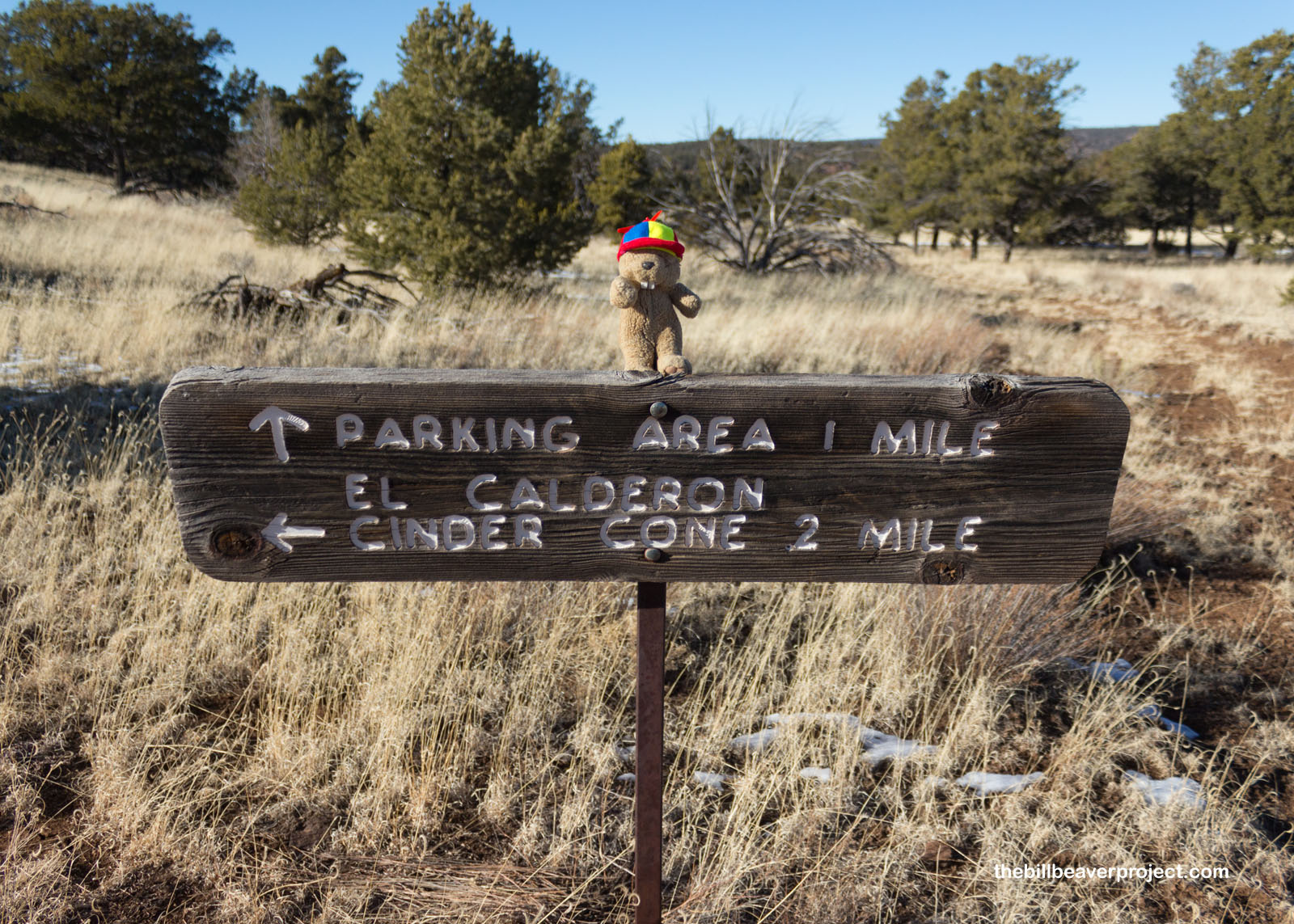
And then I came to a confusing sign with a confusing distance. Was it .2 miles or 2 miles to the cone? Regardless, I planned to get there, but in case the decimal wasn’t really a decimal, I’d need to add some hustle!
 |
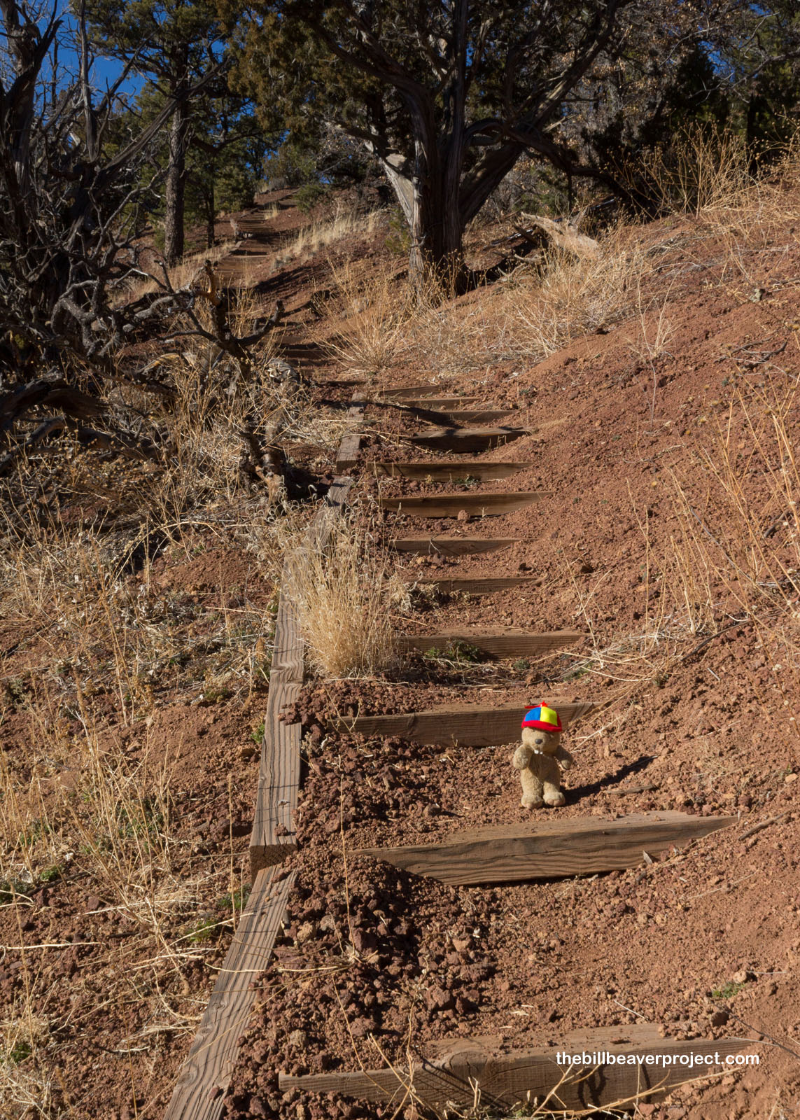
No sooner had I decided to hustle then I reached the bottom of some stairs! Oh no! Stairs are never something I look forward to unless I can take a photo on them from below! But I was still determined, and dang it, I’ve mastered steeper stairs before!
 |
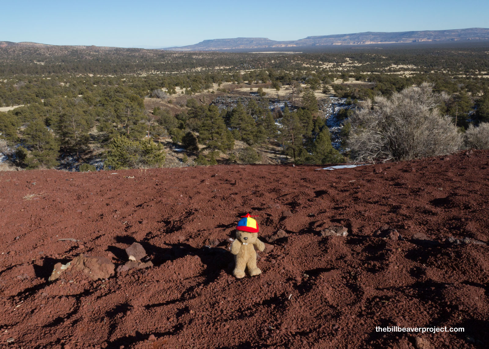
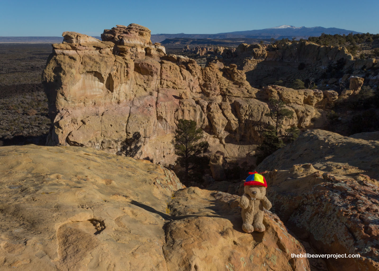
At the top of those stairs, I looked out to the east in the direction I’d just trekked. Below was the El Calderón Flow, the remains of a huge eruption that had sent lava over 22 miles to the northeast! At just under 60,000 years of age, this is the oldest lava flow in the Zuni-Bandera Volcanic Field, but during World War II, it was used as a test range for bombs. In fact, this was one of the eight candidate locations for the testing of the first atomic bomb! Fortunately for the neat caves here, White Sands Proving Ground won that nomination.
 |
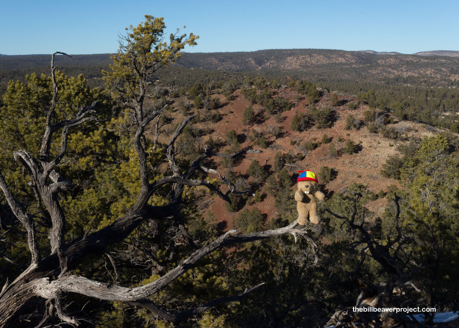
And then, almost without realizing it, I was circling the crater of El Calderón! I kept looking for a really clear vista of this 200-foot tall cinder cone, but the trees were so thick I couldn’t quite get a view.
 |
 |
So I tried my Flutter Phone instead!
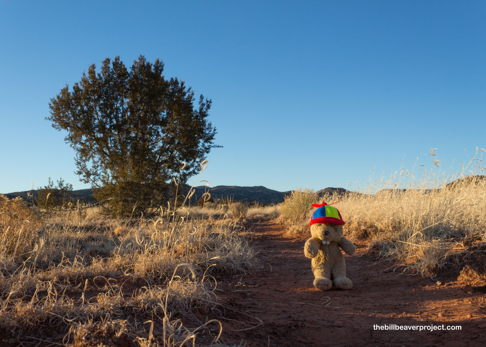
And then I realized that the day was slipping away, so I hustled back down the trail, where the lot was still empty and the remaining ice still slushy. With less than an hour before sunset, I decided to take just a little time on the Zuni-Acoma trail portion of the monument!
 |
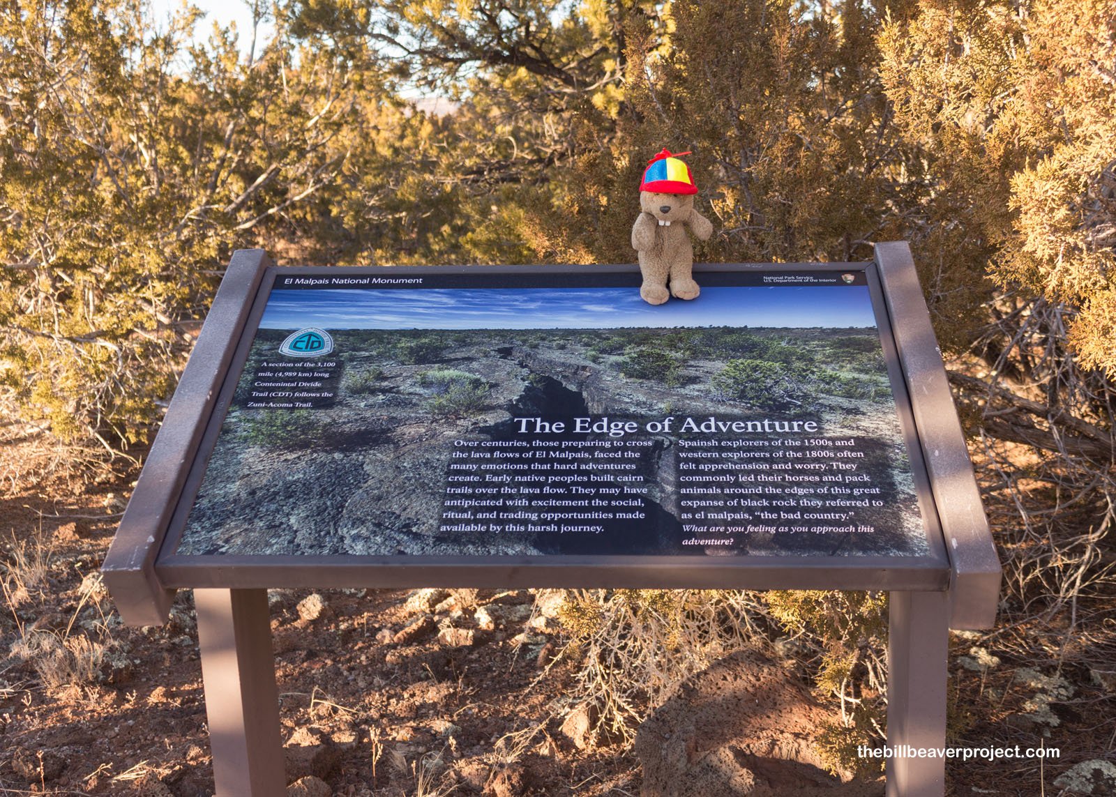 |
Part of the Continental Divide, the original trail stretched 73 miles between the pueblos of Zuni and Acoma. In order to trade with each other, each tribe would have to cross the lava flows, using cairns to mark the trails while hoping not to slip or sprain an ankle. Today, only 7.5 miles of the trail have been preserved, but it’s still marked by cairns when it passes over the flows! As for me, I took a nice leisurely wander of half a mile before the sun got low and I needed to get back to the hotel.
 |
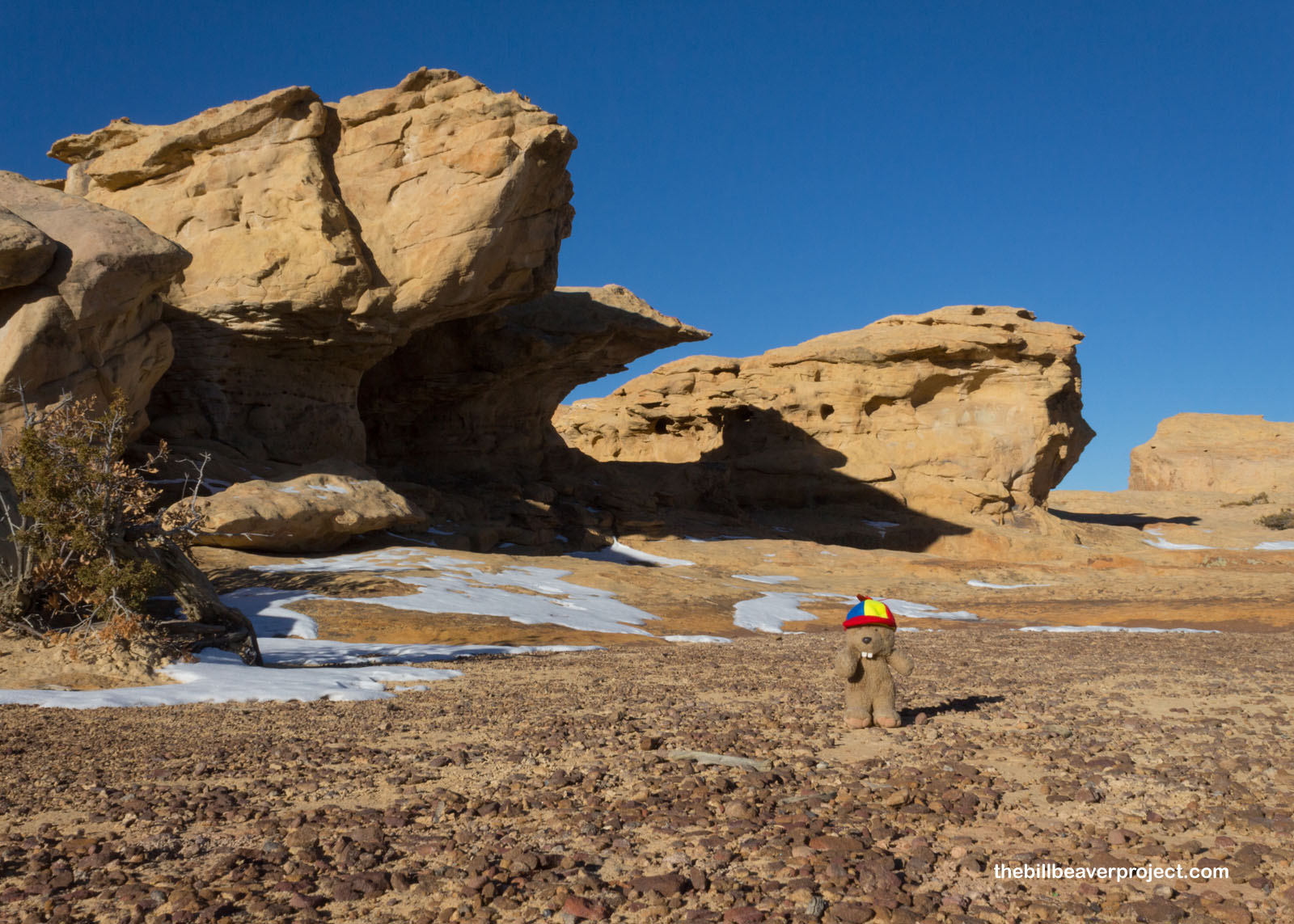
And then, voilá! I was up and at ’em bright and early! It was still chilly out, but I was not to be daunted as I headed south from Grants to enjoy the morning vistas at Sandstone Bluffs!
 |
There were some really great rock formations here that reminded me a lot of the mysterious stones of Punta da Barca! Even though it was really cold and my nose was running, I wouldn’t have visited this spot at any other time of day. It was spectacular!
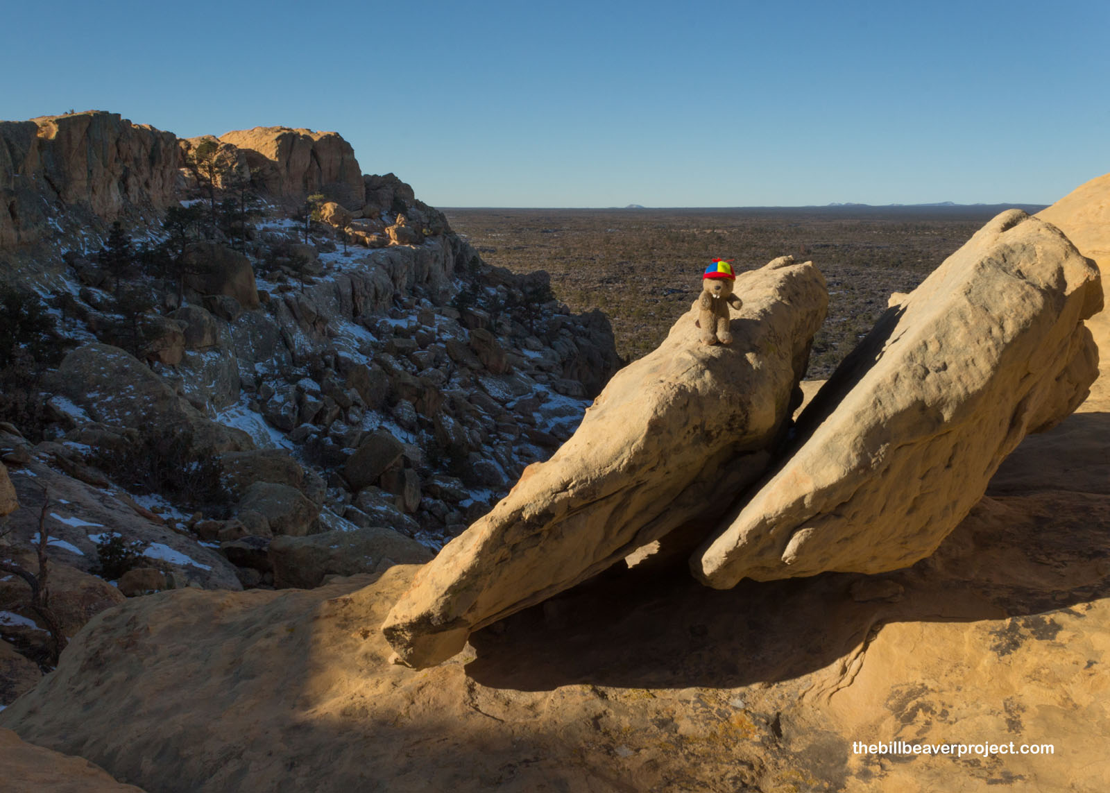 |
Unlike the lava flows, which range from 3,900 to 60,000 years on age, these Dakota Sandstone bluffs date back to the early Jurassic, about 200 million years ago! Today, they’re the easternmost boundary of the national monument, overlooking the lava flows and Mount Taylor, also known as Cebolleta, also known as Tsoodził or Turquoise Mountain! It was really nice spending some time up here with just the ancient rocks, eroded into neat shapes over so many eons! There were so many angles I could have spent the whole morning taking photos here!
 |
 |
But I did need to get back to Albuquerque before my flight in the afternoon. Before I did, after looking down on the lava fields from above yesterday and today, it was time to get up close and personal at the Lava Falls section of El Malpais!
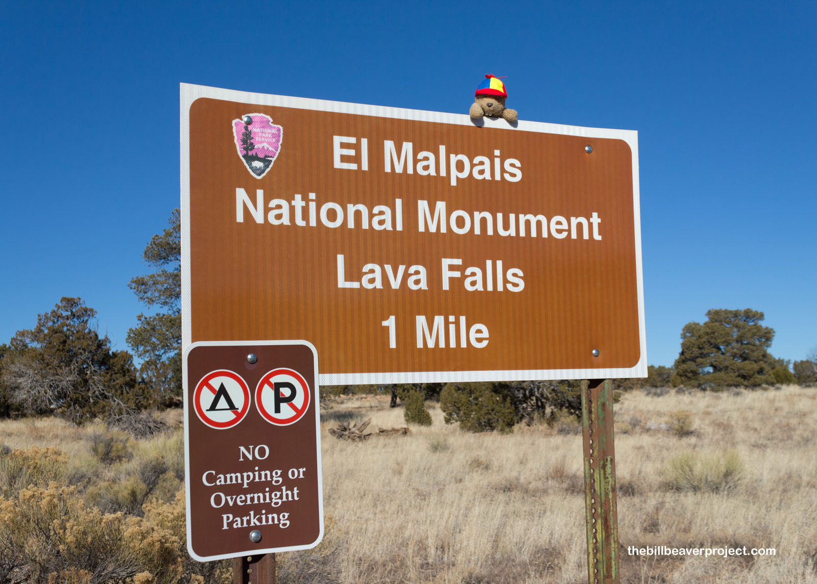 |
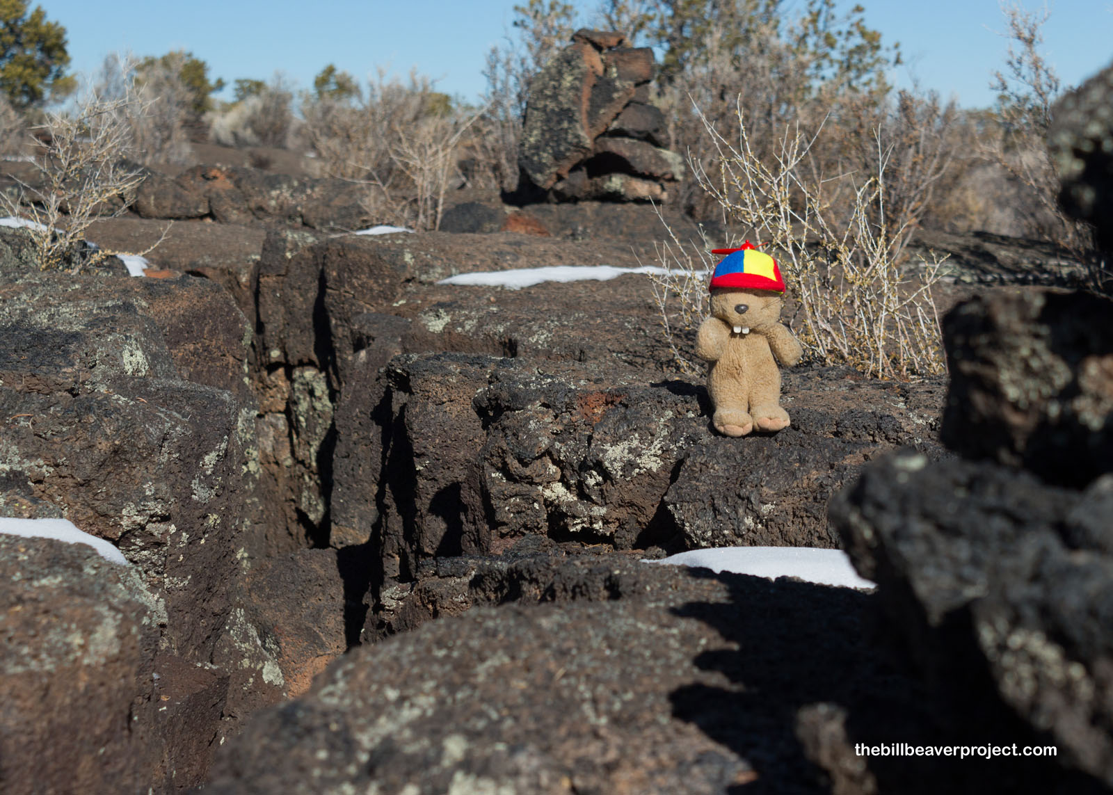
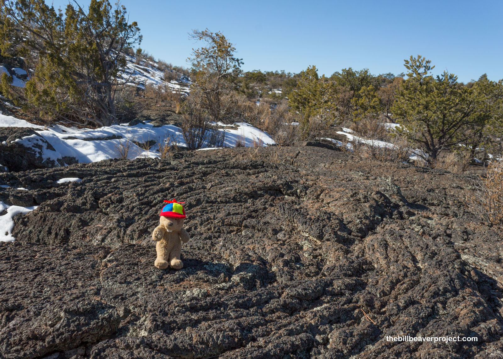
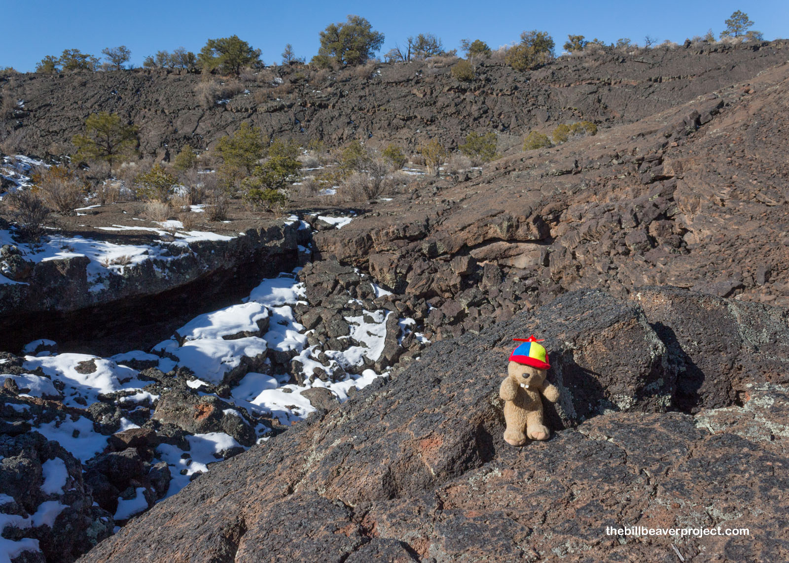
Lava Falls is part of the McCarty’s Lava Flow. While El Calderón was the oldest of the monument’s flows, this is the youngest! Volcanologists know this because it is on top of the other flows. They’re also able to analyze samples of Carbon 14 and Helium 3, at least for lava that’s less than 5,000 years old. For older flows, the element of choice is Argon, which decays into potassium! As in old times, the path over the basaltic rock was marked by cairns, which took some vigilance as I went along. You miss a cairn, and you have to do some backtracking! While backtracking, you just hope you don’t fall into one of these deep crevices!
 |
In talking about lava flows, most scientists use Native Hawaiian words: ‘a’ā for rough, blocky lava rock and pāhoehoe for smooth, rope-like lava! On the McCarty’s flow, most of the lava was pāhoehoe. If you’d tuned in to my trip to Lava Beds National Monument, you would have seen more ‘a’ā! ‘A’ā is also the sound you would make if you stepped barefoot on it!
 |
The trail was about a one-mile loop, plus some for backtracking after losing the cairns at least once! At the farthest end, I found a lava fall, where a new flow dropped over an old flow, and a natural amphitheater or inflation ridge, formed by rising gases that push a ridge above the rest of the flow!
 |
 |
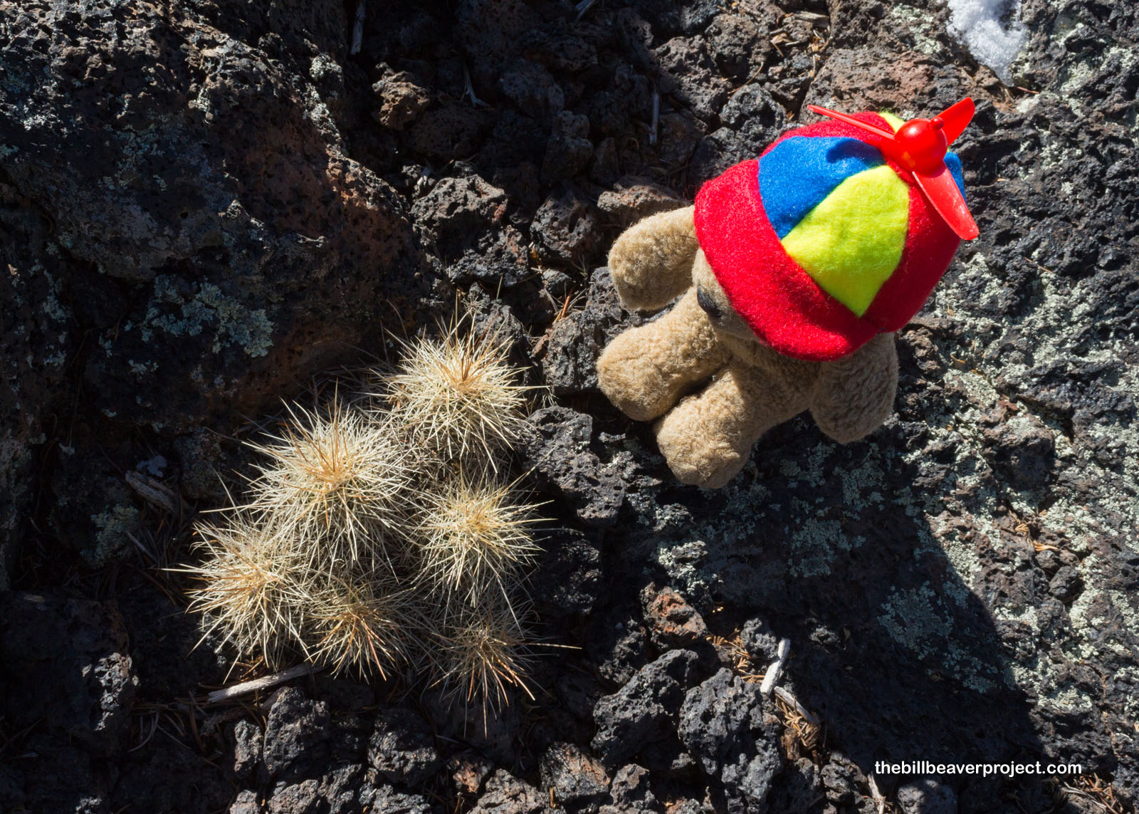
Of course, I couldn’t bypass the hardiest of life that makes its home here among the lava rocks! These spiny claret cup, or hedgehog, cacti, had somehow managed to take root in rock and gravel that couldn’t have had much nutrition! They reminded me of the peeling pine roots I saw in the Wind Rivers with Flatty last year. It’s truly amazing how a seed can germinate, root, and grow in such harsh conditions! Plus, they were super cute!
 |
I navigated my way all around the full loop and can say with confidence that I did not fall into a crevice or lose my hat there once, despite a few scary puffs of wind! El Malpais had a bad rap over the centuries, but now that there are roads around it, it’s become something to marvel over, not something to dread crossing! Maybe it could get changed to Buenpais!
 |
For now, though, I have to draw my New Mexico adventure to a close. My flight is coming up quick, and I’m not comfortable riding trains just yet if I miss it, so I’m speeding home from another adventure and hope to see you soon for the next one!
So long, Land of Enchantment!

A Bit Earlier |
Total Ground Covered: 382.9 mi (616.2 km) |
More 2022 Adventures |