 A Bit Earlier |
Nashville, TN → Mill Springs, KY → Columbia, KY 264.0 mi (424.9 km) |
 Next Day |
It’s a jolly Zollie-day, everyone!
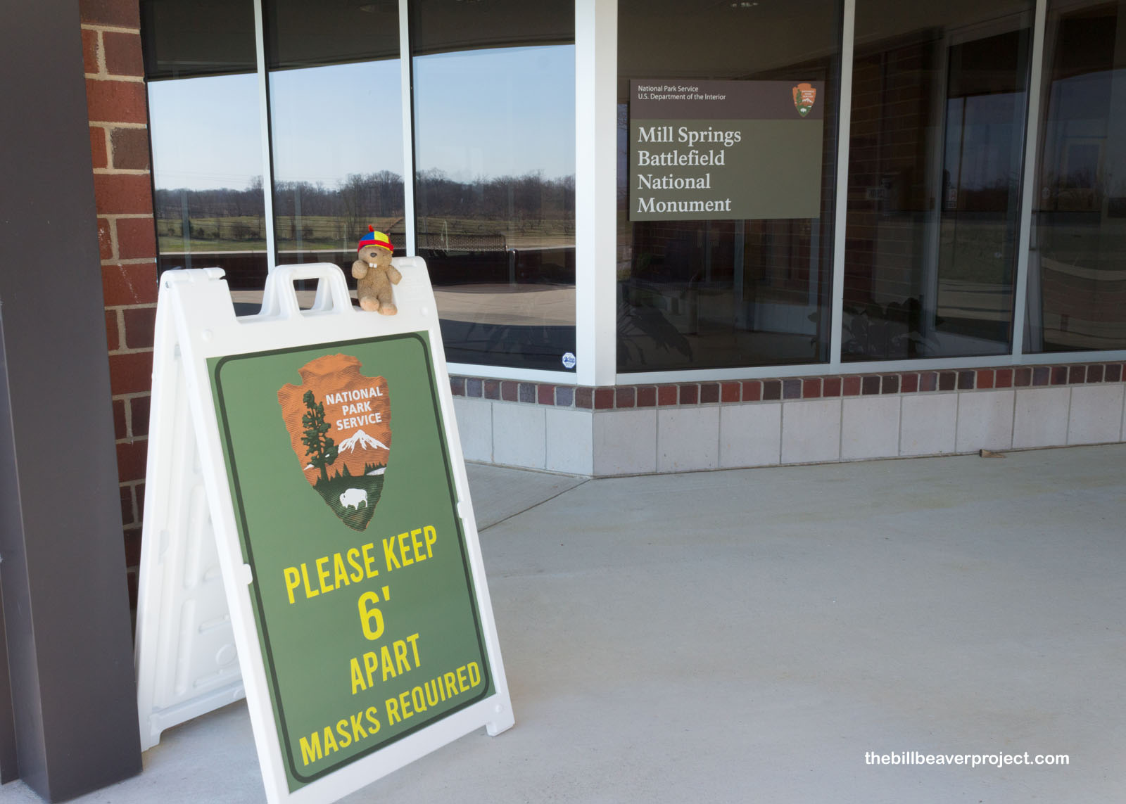
After shoving through some crazy construction traffic leaving the Grand Ole Opry, I made it up into the Bluegrass State of Kentucky! Though I was jumping time zones, I still planned to beat the sunset and explore Mill Springs Battlefield National Monument, a national park unit so new that its sign was still posted on the visitor center window!
 |
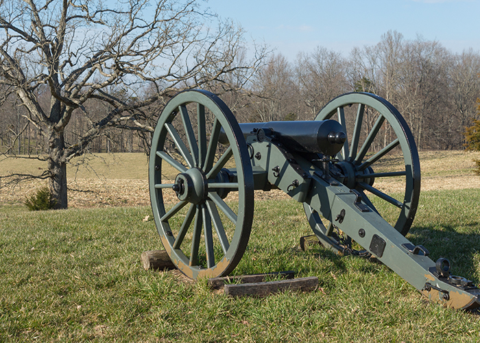
The tour route at Mill Springs wasn’t entirely chronological, so first, some context! Kentucky had declared its neutrality early on in the Civil War because it was smack dab in the middle of the Union and Confederacy, but by September 4, 1861, Confederate troops set up Fort DeRussey in Columbus, Kentucky to guard the Mobile and Ohio Railroad! Then in November, General Felix Zollicoffer set up shop at Mill Springs to fortify the Cumberland River! With neutrality broken, the race was on to control Kentucky!
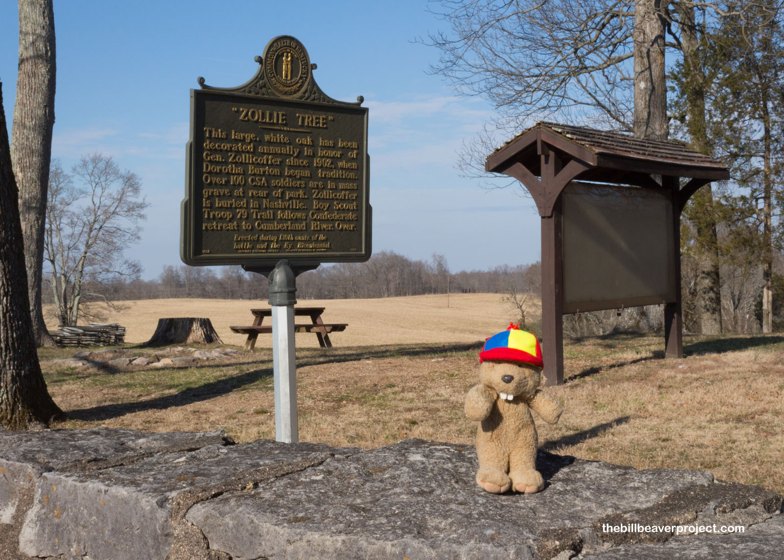
My first stop on the tour route was really a defining site for this battle. The Zollie Tree is a white oak made famous by a girl named Dorothea Burton, who started decorating in 1902 in memory of General “Zollie,” who had been shot during this battle! This newspaper publisher turned Confederate general is best remembered for getting confused in the fog, riding into Union lines, and shouting orders to Union soldiers, thinking they were his own troops! Those soldiers quickly shot him, which broke Confederate morale!
 |
 |
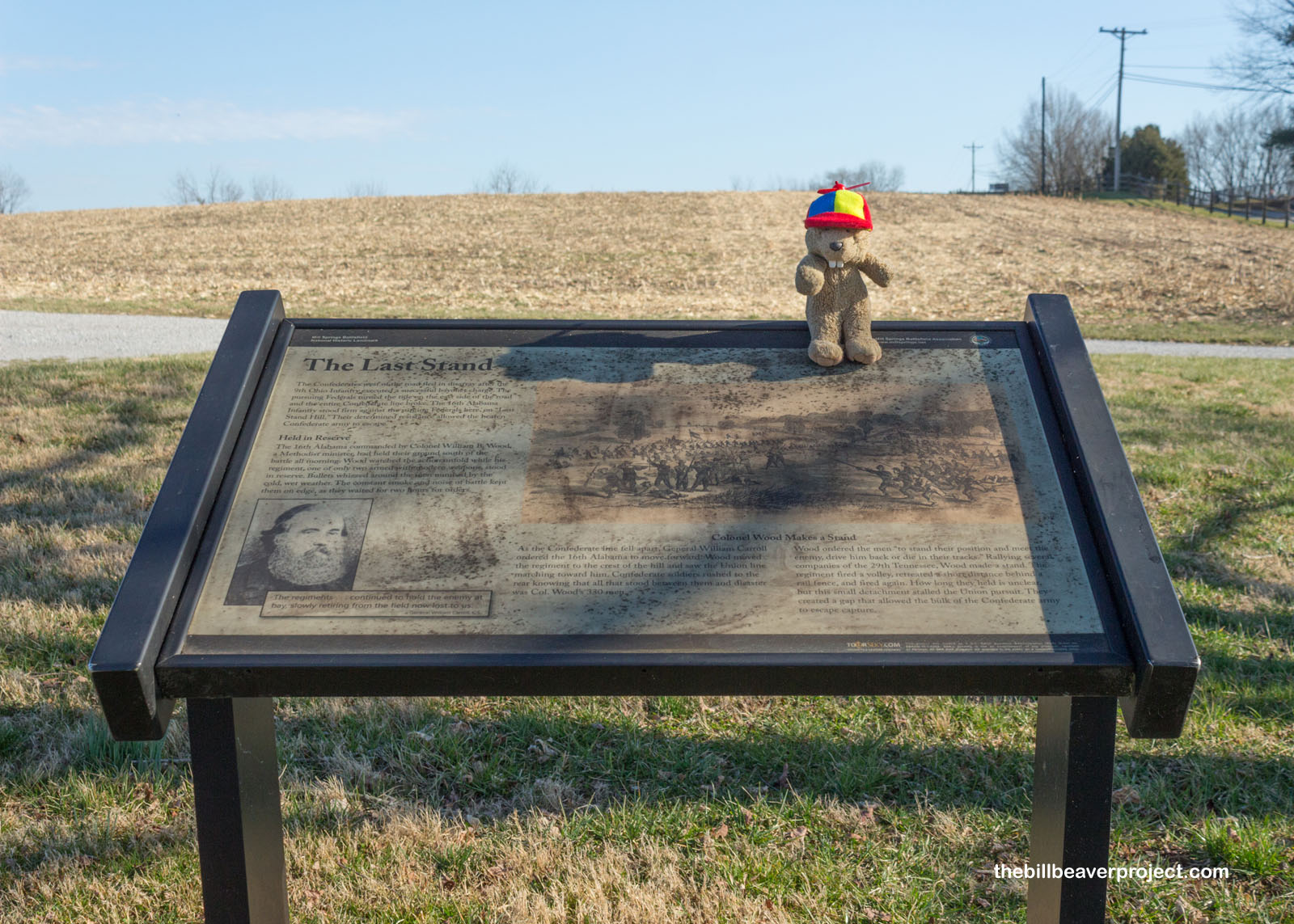
Having stopped the Confederate advance, the Union began pushing them back to the Cumberland River! At Last Stand Hill, two Williams, Wood and Carroll, held ground just long enough for the rest of the defeated Confederate troops to escape back in the direction they had come! Like the Union, I would also press south in pursuit!
 |
 |
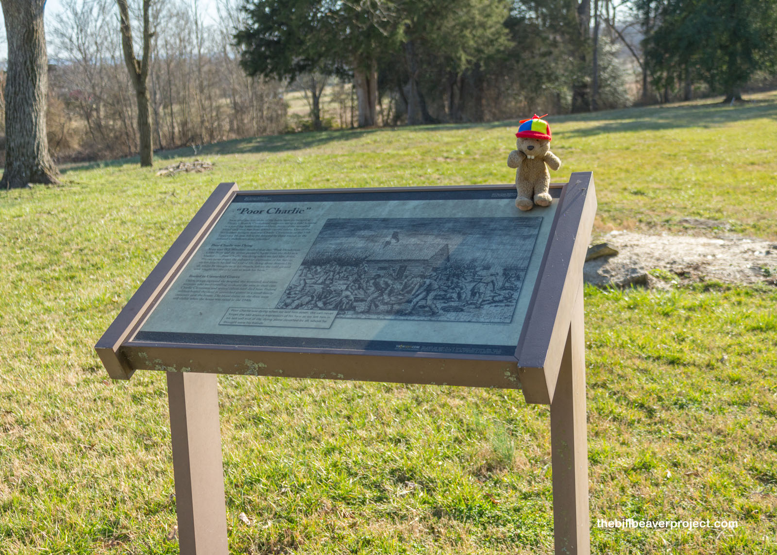
This led to a very sad stop, the field hospital that Confederate troops abandoned in their retreat. Only three surgeons stayed behind to help the soldiers in their care, and they were all captured by the Union. Those who died were buried in unmarked graves nearby.
 |
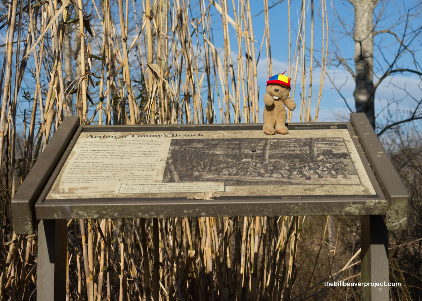
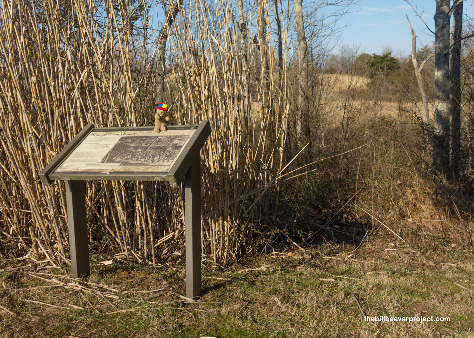
It wasn’t far away from here that the battle had first started on January 19, 1862, at a spot called Timmy’s Branch. This was where the first pistol shots rang out and Union Sergeant George Thrasher interrupted the Confederate advance!
 |
 |
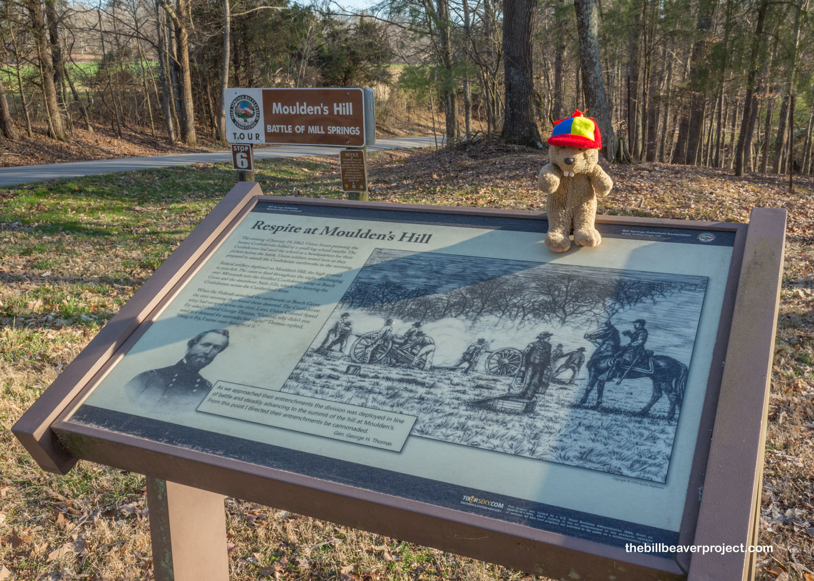
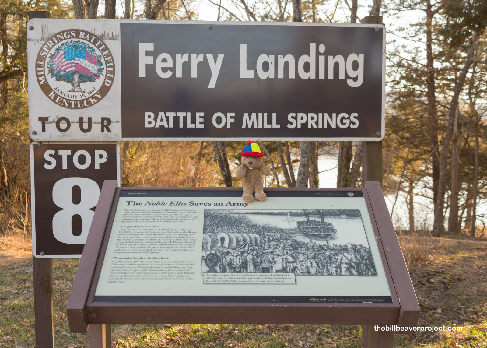
By that evening, the Confederate forces were already in retreat, and the Union forces camped here on Moulden’s Hill to rest and to fire cannons on the Confederate stronghold of Beech Grove! While the Union troops waited here, Confederate forces retreated back across the Cumberland River aboard the steamboat Noble Ellis!
 |
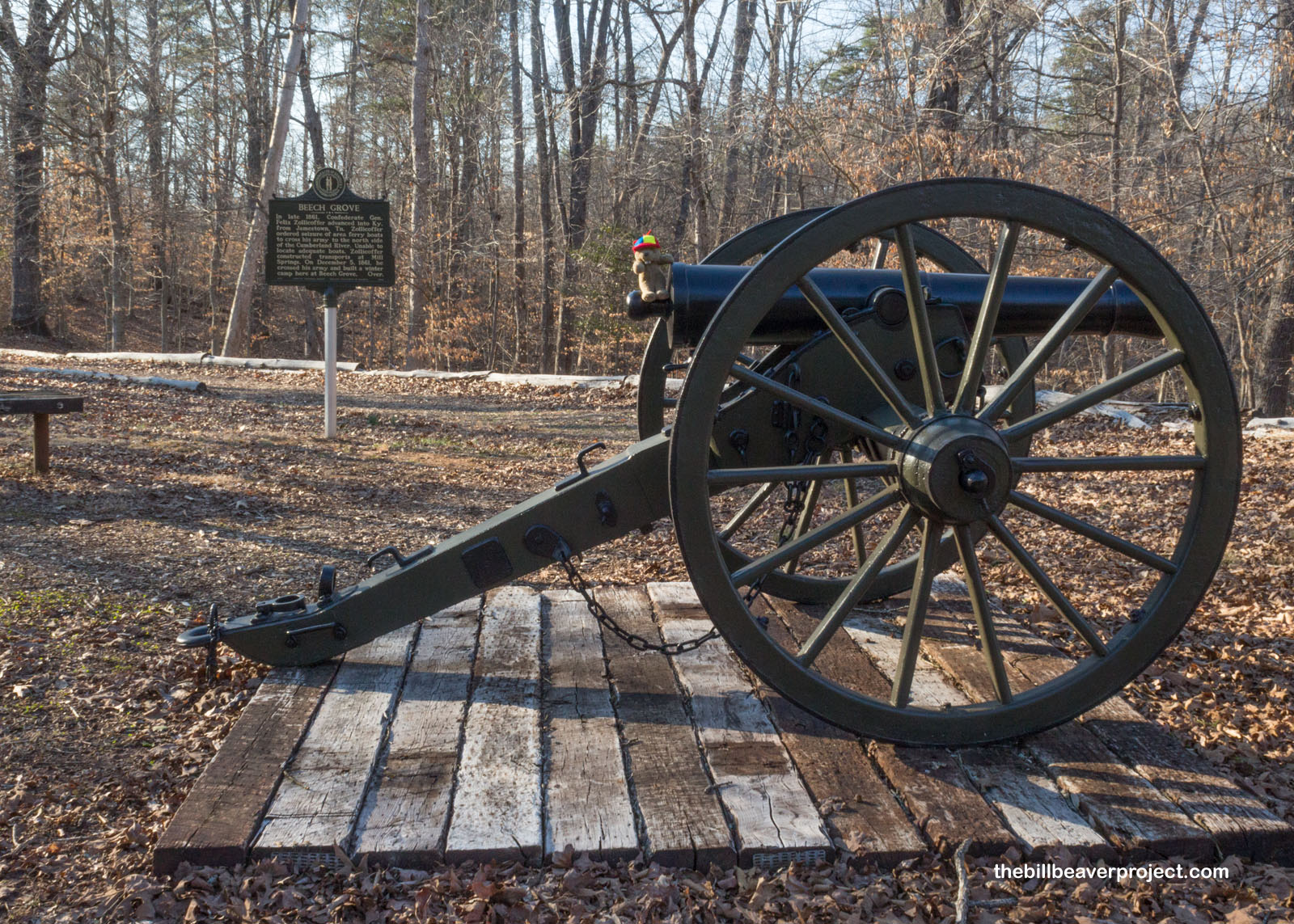
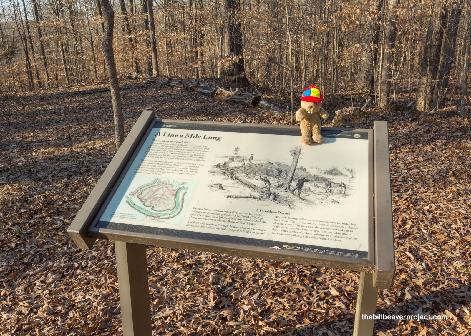
Beech Grove was then abandoned! See, Beech Grove had been the main Confederate fortification after General “Zollie” had crossed the Cumberland River to set up a winter camp. At its height, there were 6,000 soldiers here, stationed in 800 to 1,000 cabins! Since armies rarely fought in winter, it was a big surprise for everyone that a battle would break out here in January!
 |
 |
Beech Grove had been surrounded by 10-foot tall earthen redoubts that spanned a mile in length and enclosed 1,000 acres! It was a massive undertaking that only survived for a month before the Battle of Mill Springs!
 |
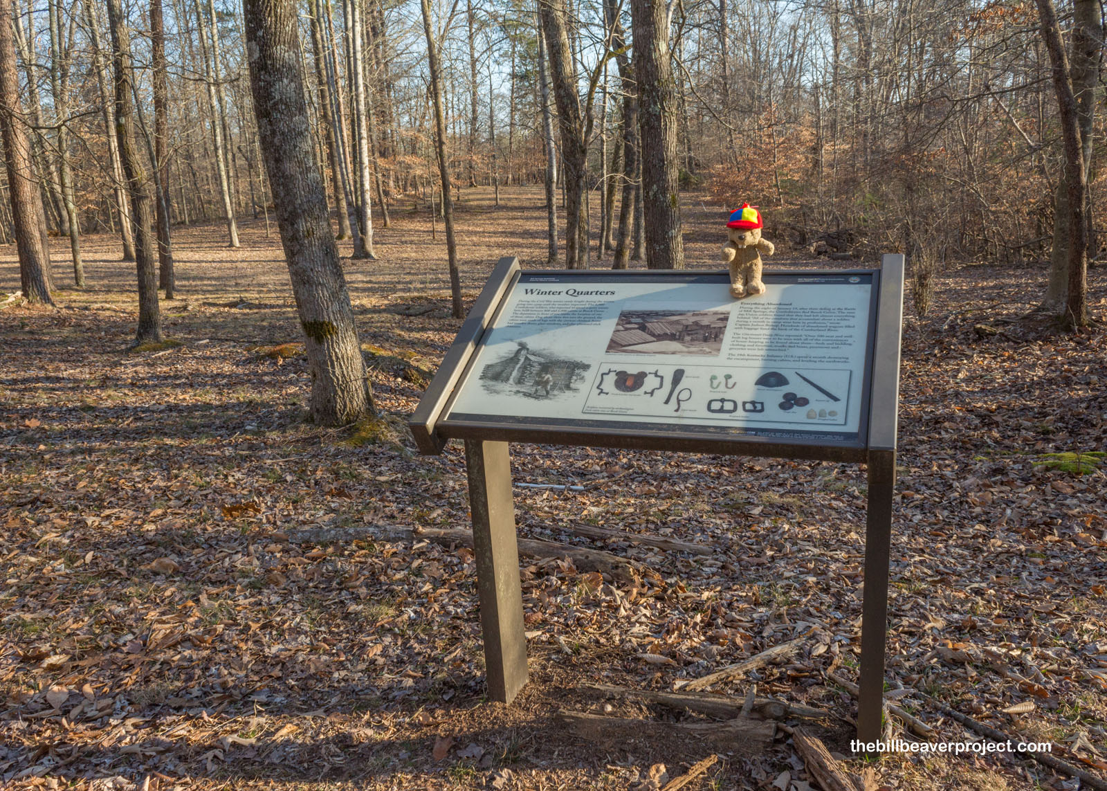
Today, there’s nothing left to see of the Beech Grove cabins because the 19th Kentucky Infantry spent a month destroying them and leveling the earthwork fortifications! All that remains, apart from foundations, were the camp’s namesake beech trees, still dropping nuts after all these years! As you can see, I got a real close-up look at these nuts!
 |
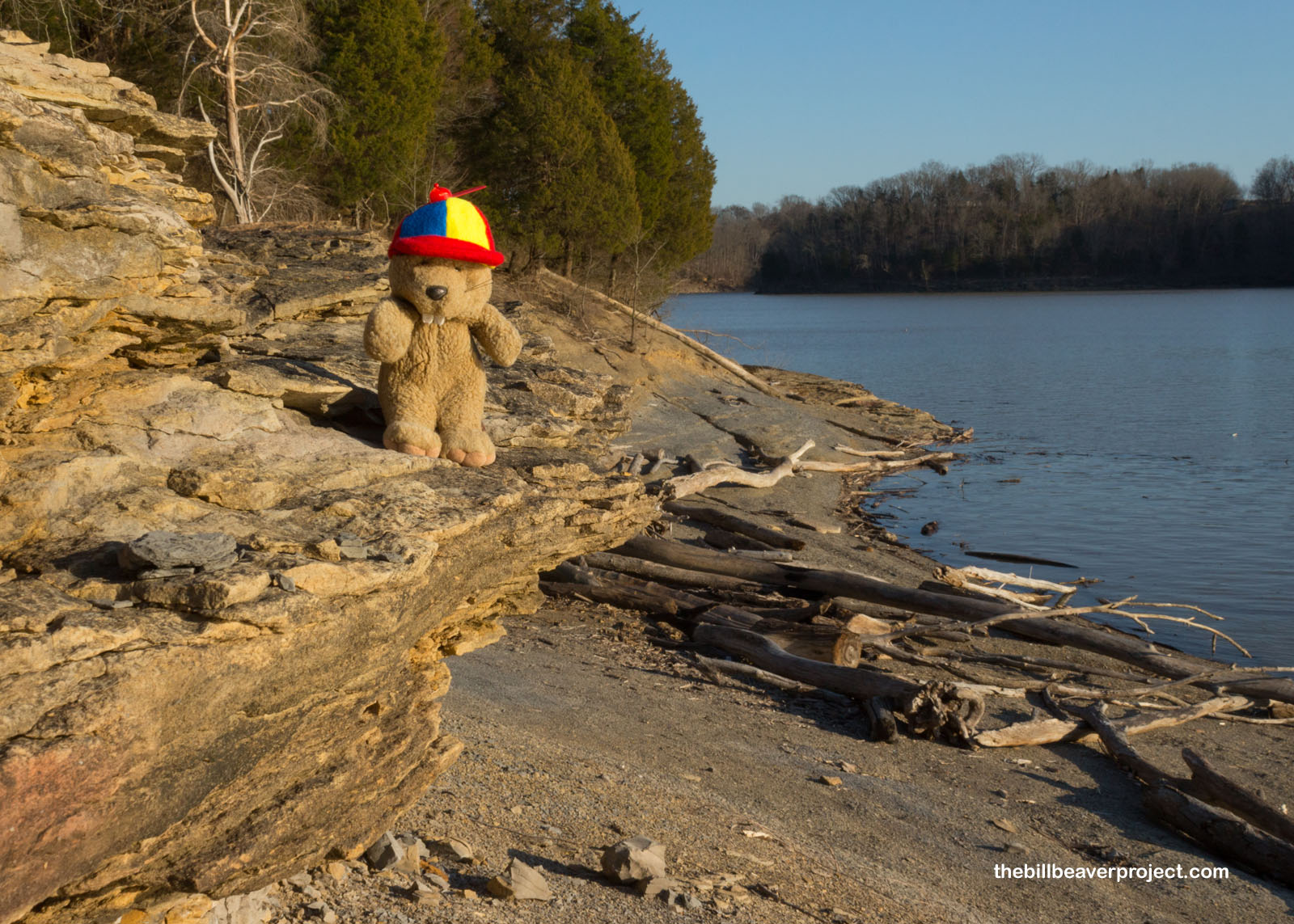
The road drew up short at the Cumberland River. Here, the Confederates had crossed north in November, and here they retreated again in January, under steady bombardment by the Union! Today, there is still a boat launch, but the scene is considerably more peaceful. However, there were more tour stops on the other side of the river and neither bridge nor boat to carry me across! The only way to conclude the tour of the Mill Springs Battlefield was to go all the way back and make a huge circle around!
 |
 |
An hour later, I was on the other bank, where those soldiers who had not drowned in crossing regrouped. They burned the Noble Ellis so the Union could not capture it, and continued their retreat. General George Crittenden took the brunt of the blame for this failure, which was a big one: the Union victory at Mill Springs had decisively secured Kentucky for the Union!
 |
On this side, the home of Thompson Brown is still standing. It was an officers’ home and hospital for the Confederacy before and immediately after the Battle of Mill Springs, then housed Union officers when they arrived in pursuit!
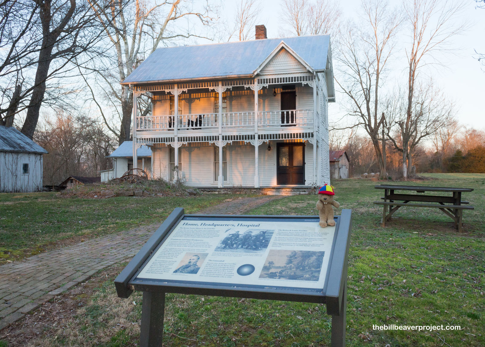 |
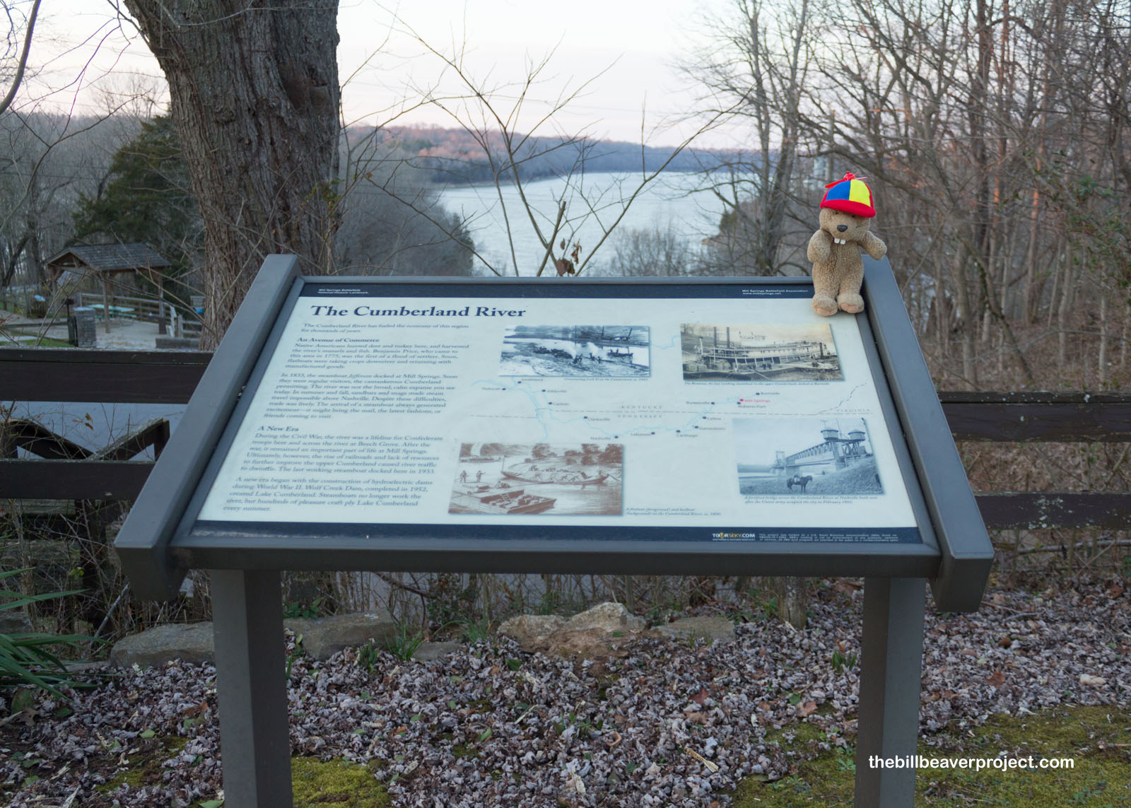
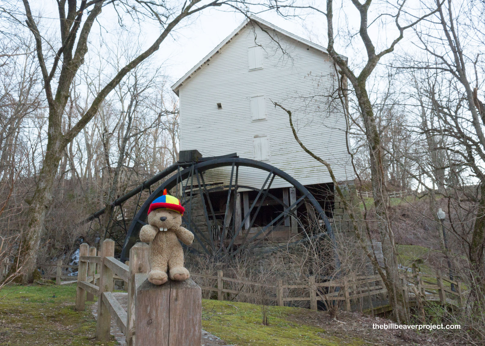
Below the Brown-Lanier Home stands the grist mill and thirteen natural springs that gave the area its name! While the earliest mill was built in 1840, this one dates back to 1877 and still works! But what’s in a name? Today, we call this the Battle of Mill Springs, but in the 1800s, the Union called it the Battle of Logan’s Cross Roads, while the Confederacy called it the Battle of Fishing Creek!
 |
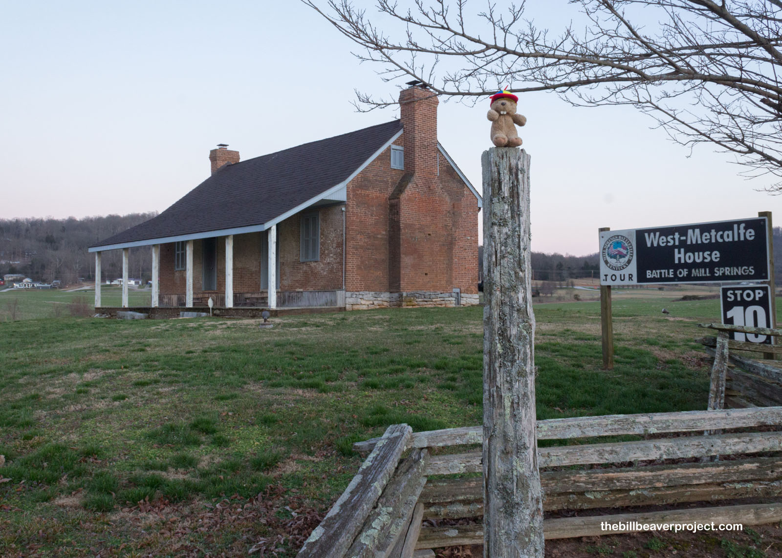
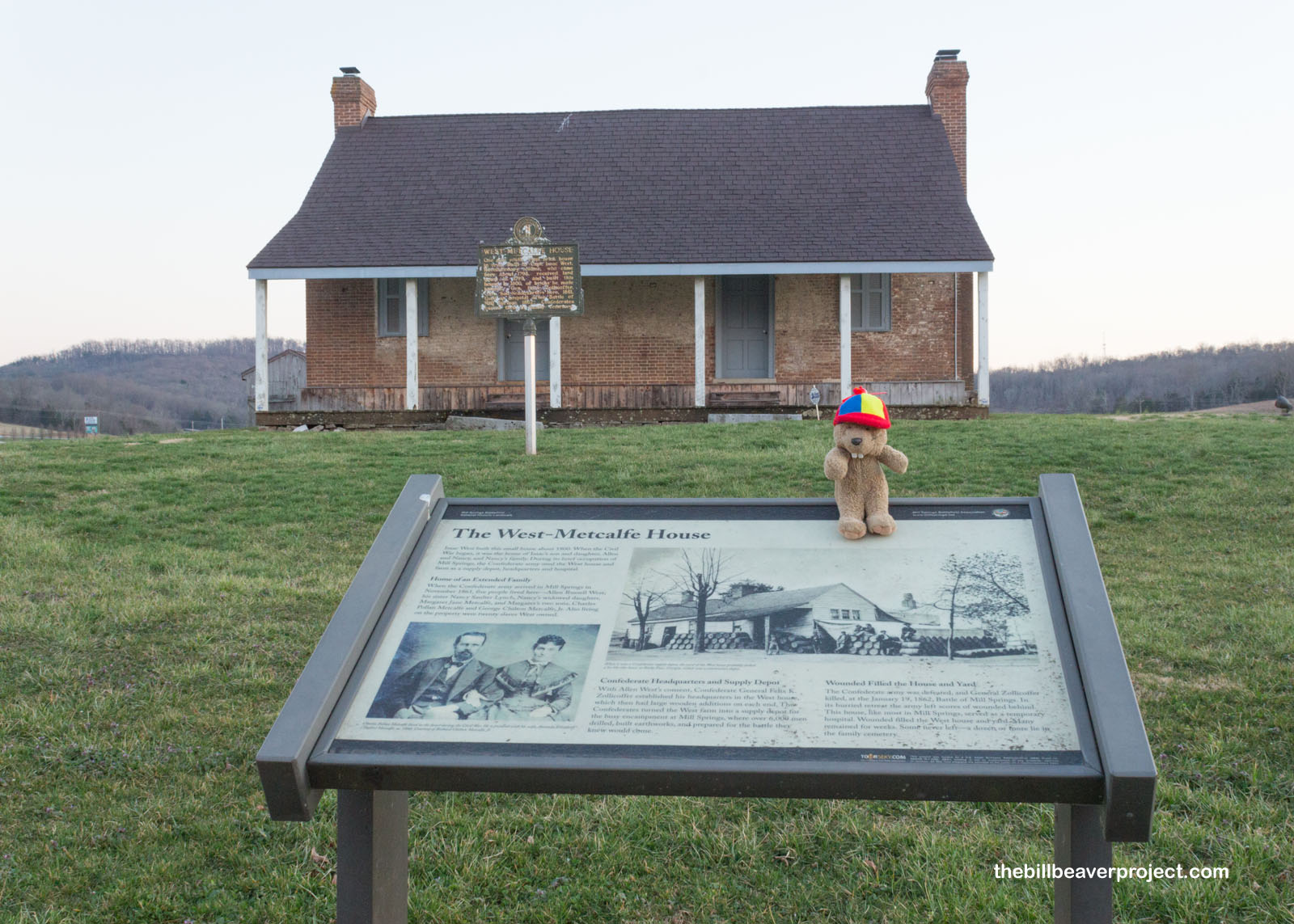
Then, as the sun set, I reached Stop 10 on the tour, the perfect bookend for my visit to Mill Springs Battlefield National Monument. Before the battle, the West-Metcalfe House was headquarters for General “Zollie” and a Confederate supply depot, but after the battle, this home, like many buildings in the area, served as a makeshift hospital for the wounded soldiers abandoned by the retreating army! Dozens stayed here forever in the West family cemetery!
 |
 |
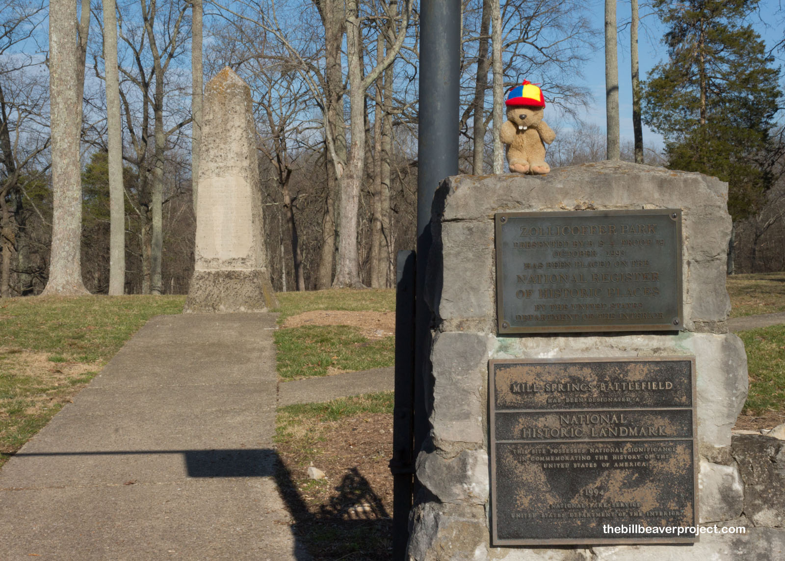
So, to recap, in 1861, the Confederate Army broke Kentucky’s neutrality to secure the railroads, the Union moved in to stop them, and in January of 1862, the Union pushed the Confederate troops back out of Kentucky and into Tennessee, securing the Bluegrass State for the Union and paving the way for the capture of Nashville only one month later! My path for tomorrow is in the opposite direction, though. Tune in tomorrow as I explore more important sites that shaped the history of Kentucky!
KF-see you then!

A Bit Earlier |
Total Ground Covered: 779.8 mi (1,255.0 km) |
Next Day |