 More 2023 Adventures |
Kailua-Kona → Waimea → Captain Cook 149.0 mi (239.8 km) |
 Next Day |
Aloha hou mai!
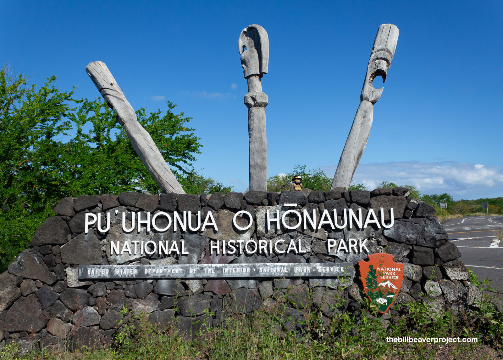
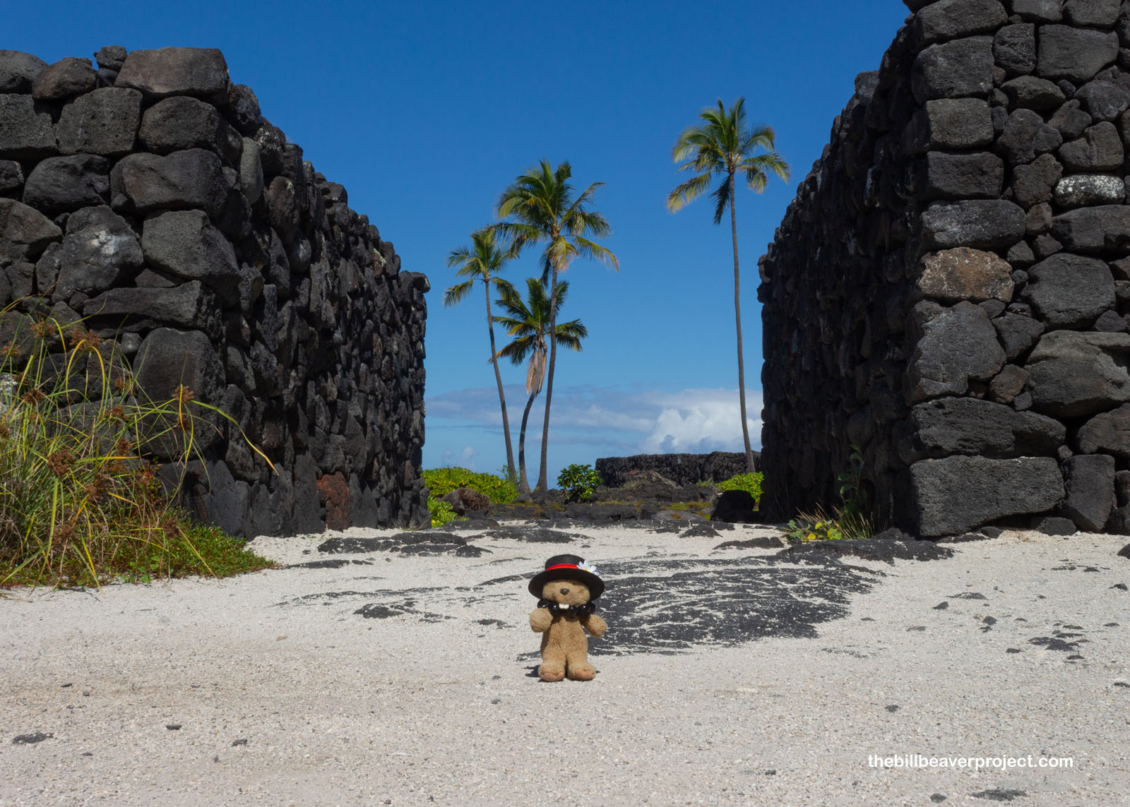
Travel’s getting tough these days! Not only have prices gone up, up, up, but also my flight to the Big Island of Hawaiʻi was delayed three hours with a plane swap, putting me into Kailua-Kona around midnight (3AM Pacific) to navigate south to my AirBNB in Captain Cook! It was a perilous journey, but surprisingly, that was the whole point of my first stop on this adventure: Puʻuhonua o Hōnaunau National Historical Park!
 |
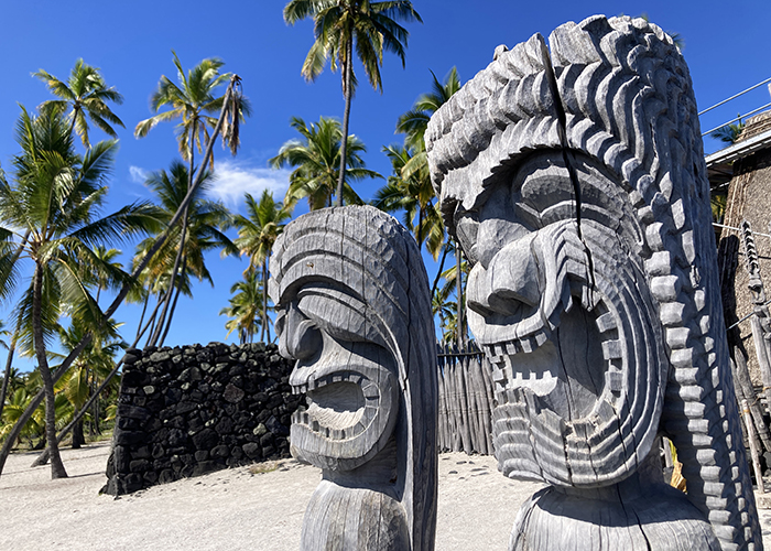
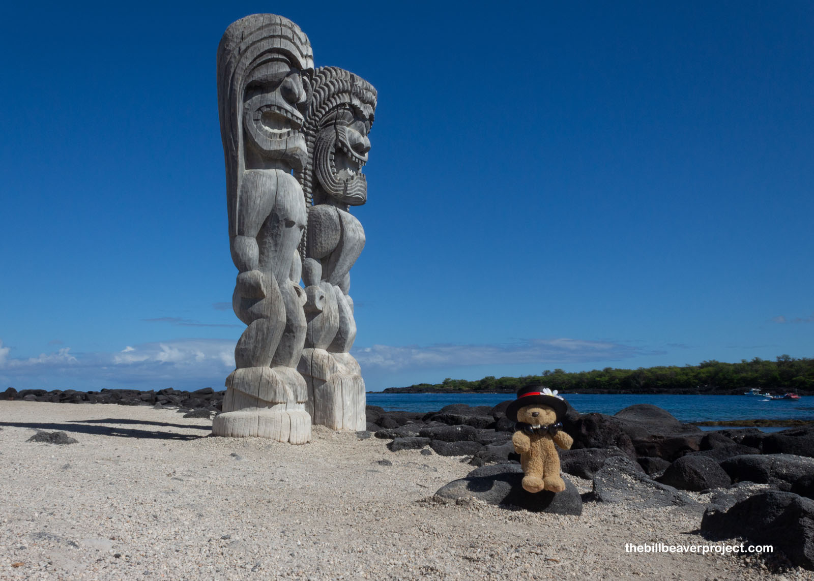
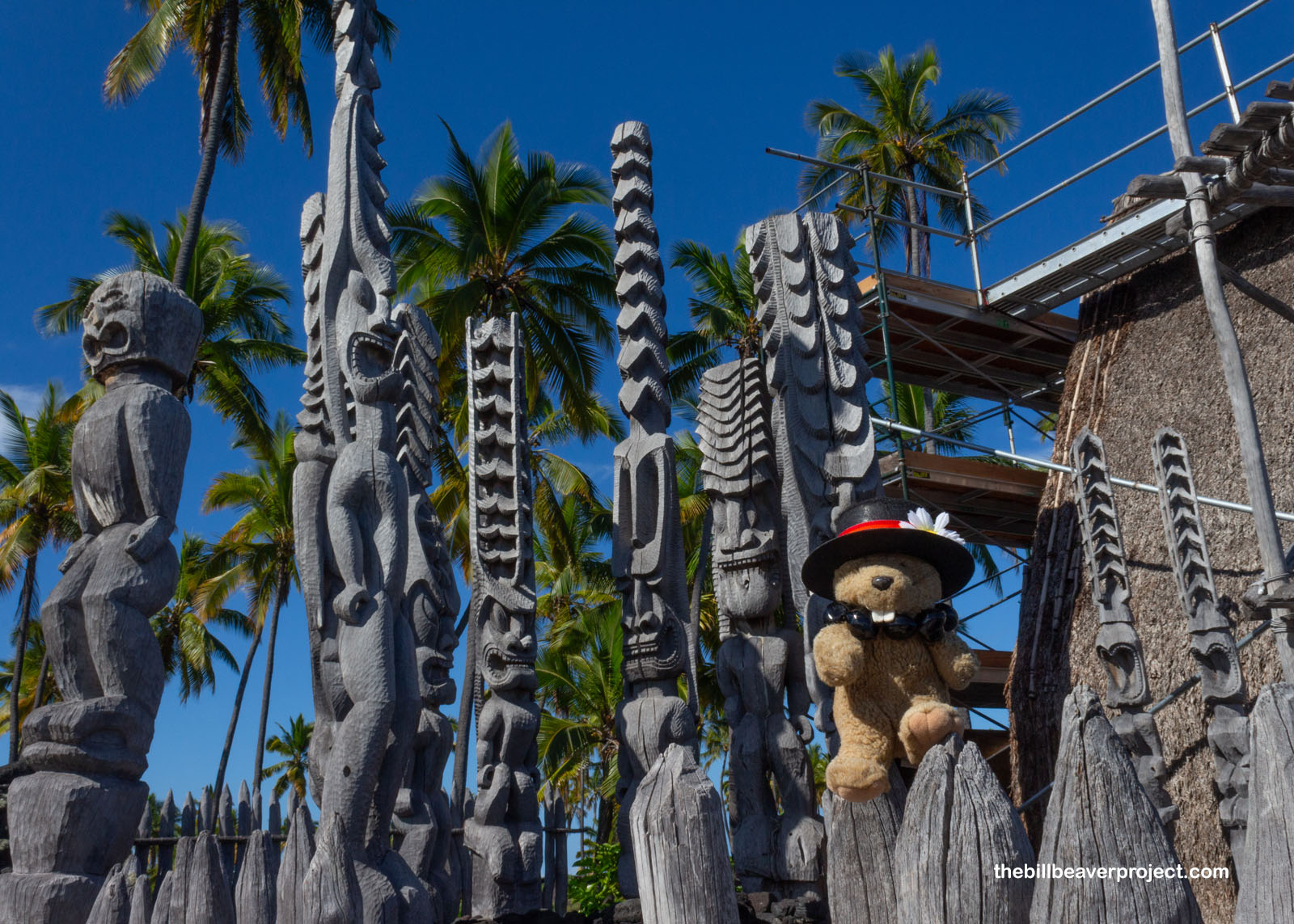
That’s a super long name, so let’s break it down! In the Hawaiian language, puʻuhonua means “refuge,” and Hōnaunau is the name of the bay where it was located! Altogether, this is the refuge of Hōnaunau, and folks would come here seeking protection from the gods, or akua! Carved, wooden kiʻi of the akua, Kiei & Hālō, showed new arrivals that they’d reached refuge in a place where the mana was strong! And boy, must that have been a relief!
 |
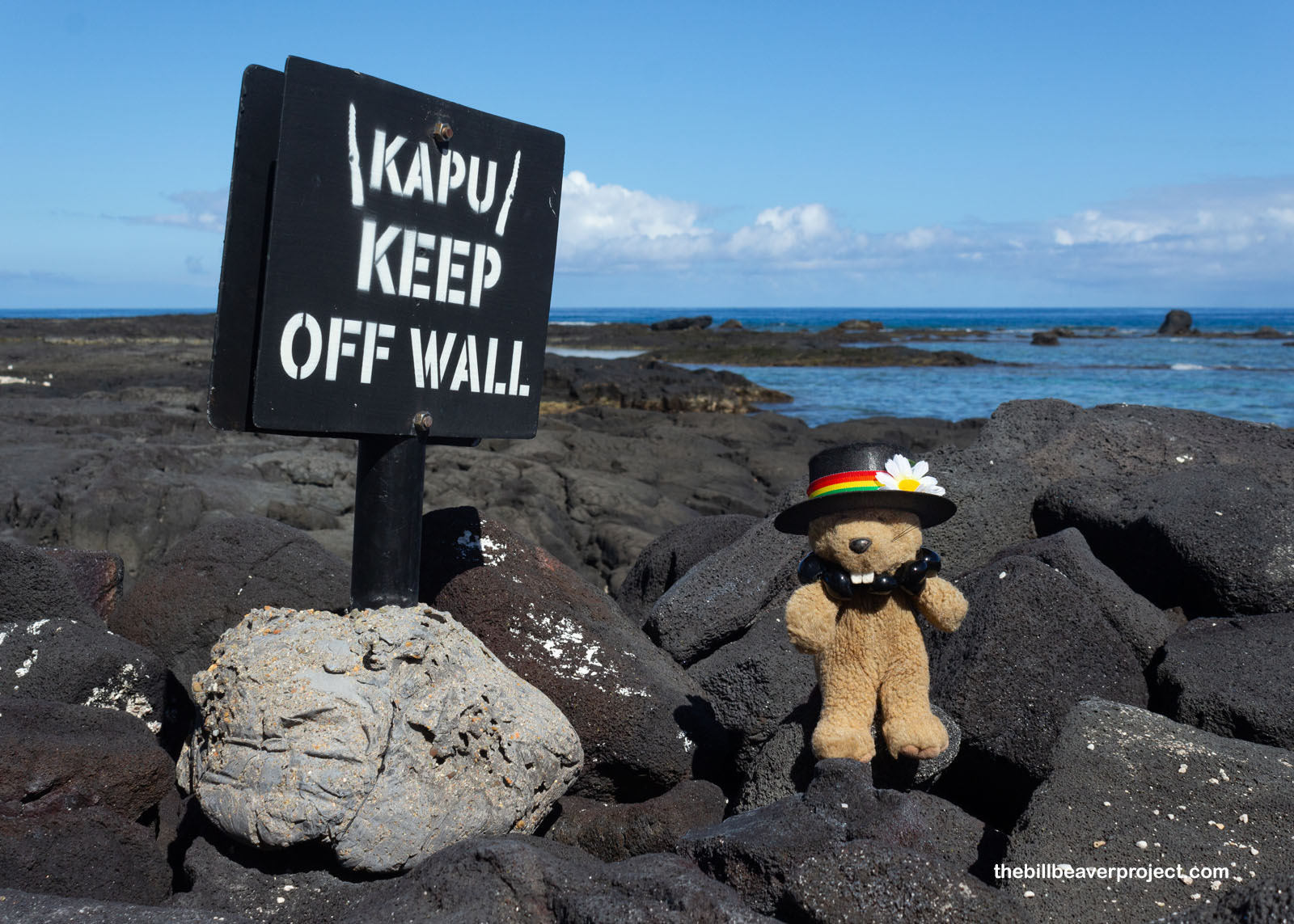
See, early settlers in Hawaiʻi brought with them the Tahitian idea of taboo, which became kapu over time. These code dictated what was forbidden, and they were very strict: death for fishing out of season, death for men eating with women, death for commoners whose shadow falls on an aliʻi (chief)… If that sounds scary, it was! Fortunately, not everyone was instantly doomed, but they needed to be crafty! If you did something kapu, you could flee across miles of lava rock or swim along miles of coastline, and if you survived without being captured and reached this puʻuhonua, you would be forgiven of all wrongdoing, even eating pork as a woman!
 |
They were aiming for the Hale o Keawe, or House of (deep breath) Keaweʻīkekahialiʻiokamoku, king of Hawaiʻi and great grandfather of Kamehameha I! This was a royal burial spot for aliʻi, 23 of them in fact, and their bones were what gave this place such strong mana! Surrounding the Hale o Keawe are many kiʻi depicting Lono, akua of fertility, music, and—fittingly for a refuge—peace!
 |
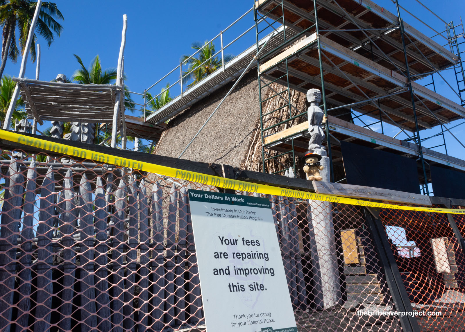
Kapu ended in 1819, making the puʻuhonua obsolete, but the mausoleum stayed up for another ten years! Queen Kaʻahumanu ordered the royal bones removed and the Hale o Keawe taken down, and for seven decades, this was just a spot on the coast. Then, in 1902, surveyor W.A. Wall took the reins on restoring the platform that supported the puʻuhonua, followed by Edmund J. Ladd’s work in 1966 and 1967. Local craftsmen came aboard to recreate the kiʻi based on old drawings, and finally, the Hale itself was rebuilt from sketches, using kauila wood, coconut logs, and ti leaves! Today, keeping the Hale whole is an ongoing process that requires a lot of maintenance and cooperation between the National Park Service and Native Hawaiians!
 |
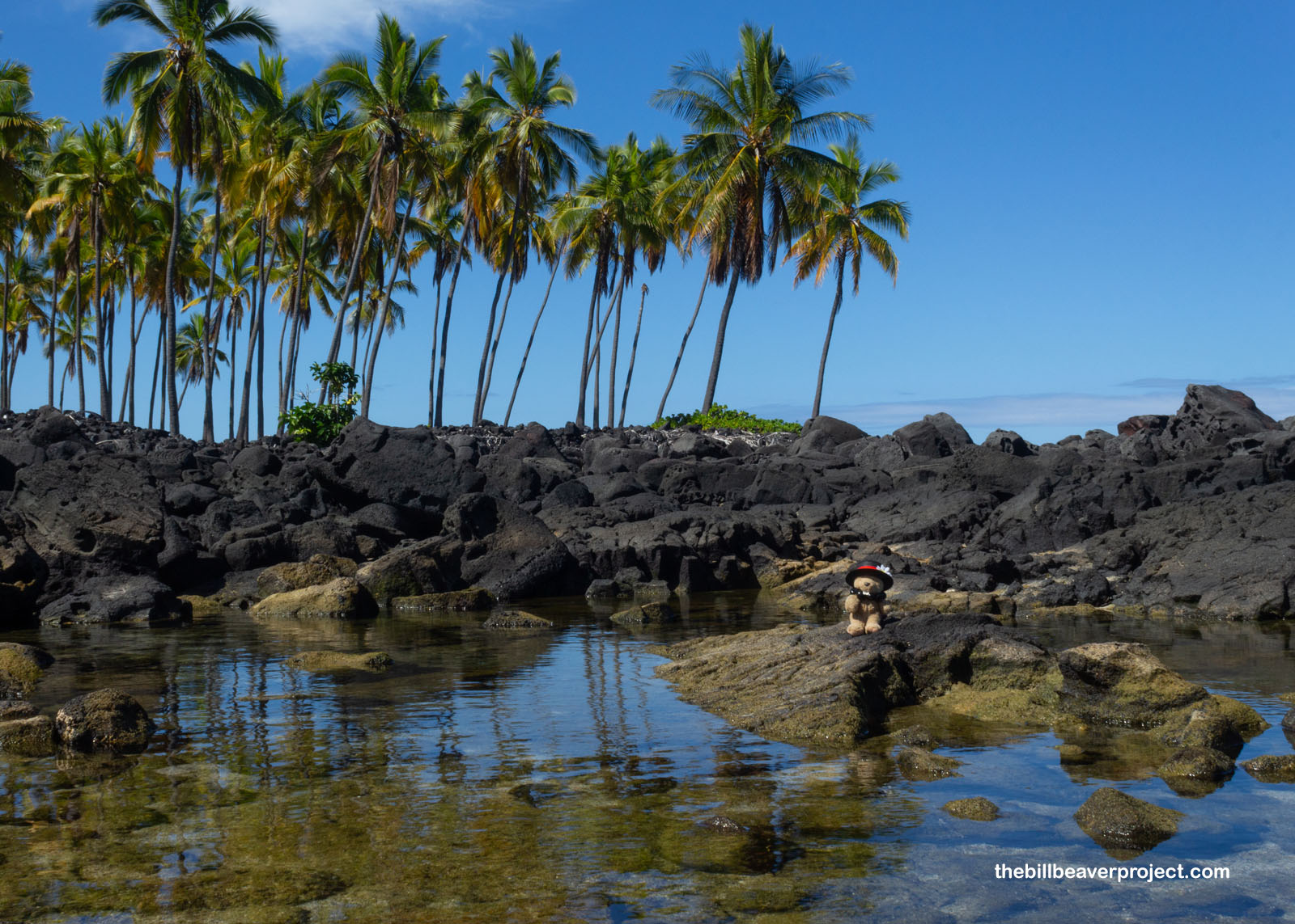
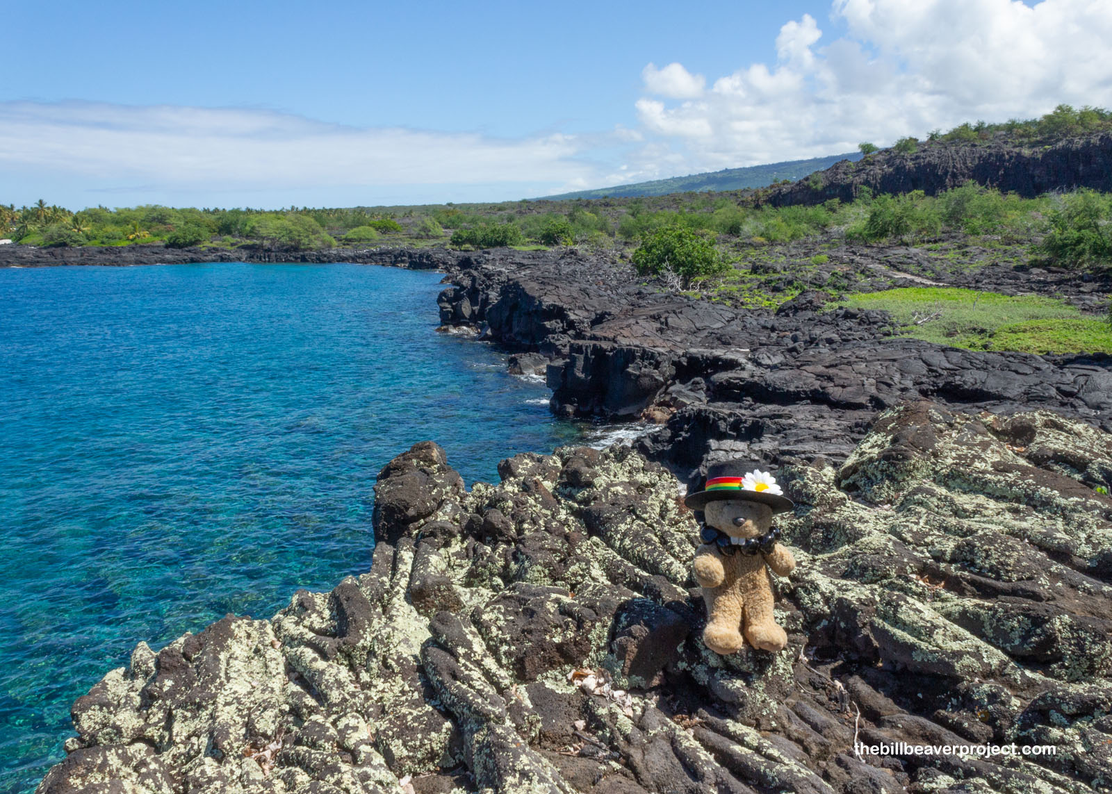
Nearby, I got a glimpse of the kind of coastline that refugees had to navigate in order to reach the puʻuhonua: rough lava rock that was hot when dry, slippery when wet! There were waves and currents to be braved, but today, things were pretty peaceful. The tide pools were full of fish, and I was sad that I didn’t have the foresight to bring an underwater camera with me!
 |
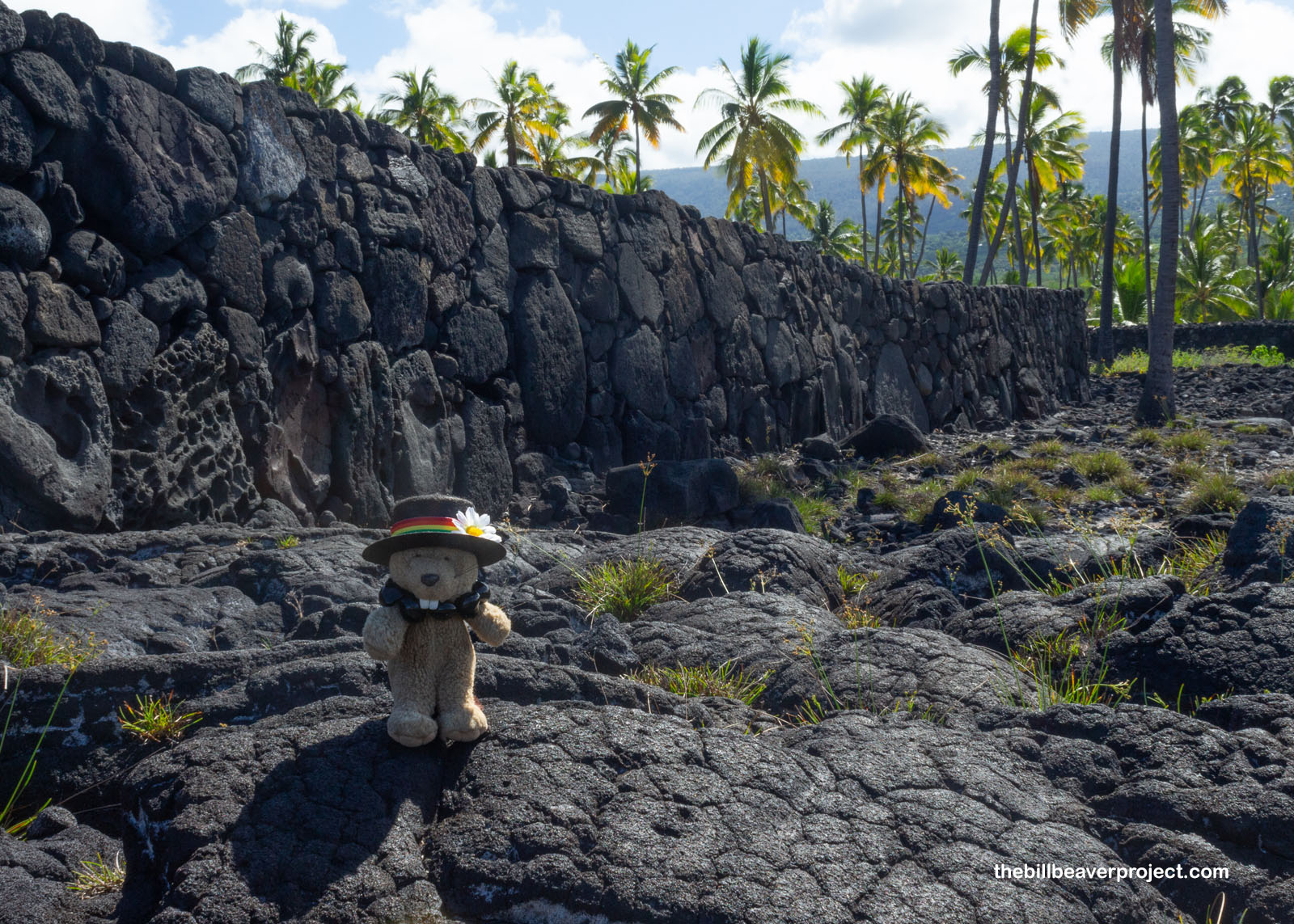
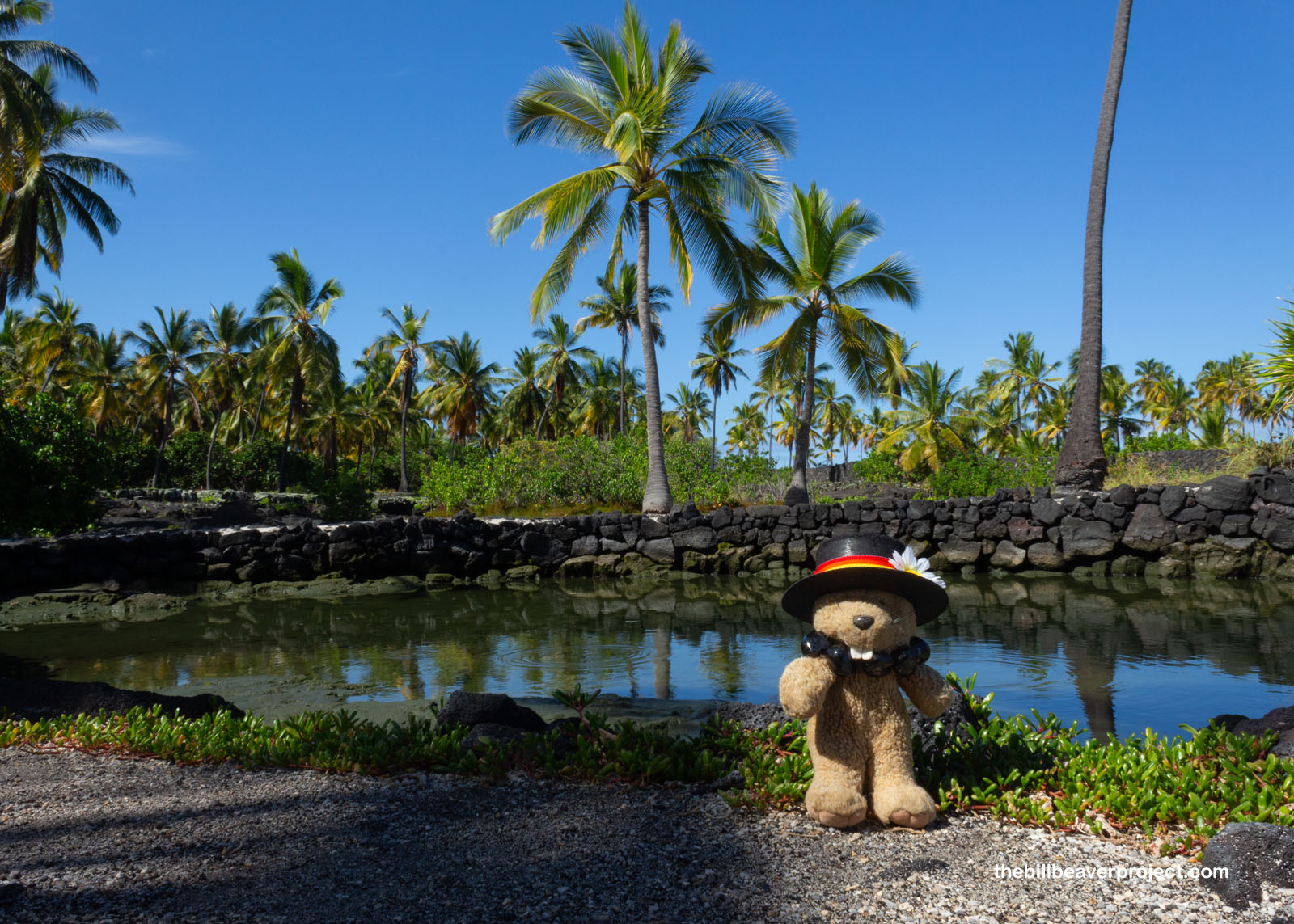
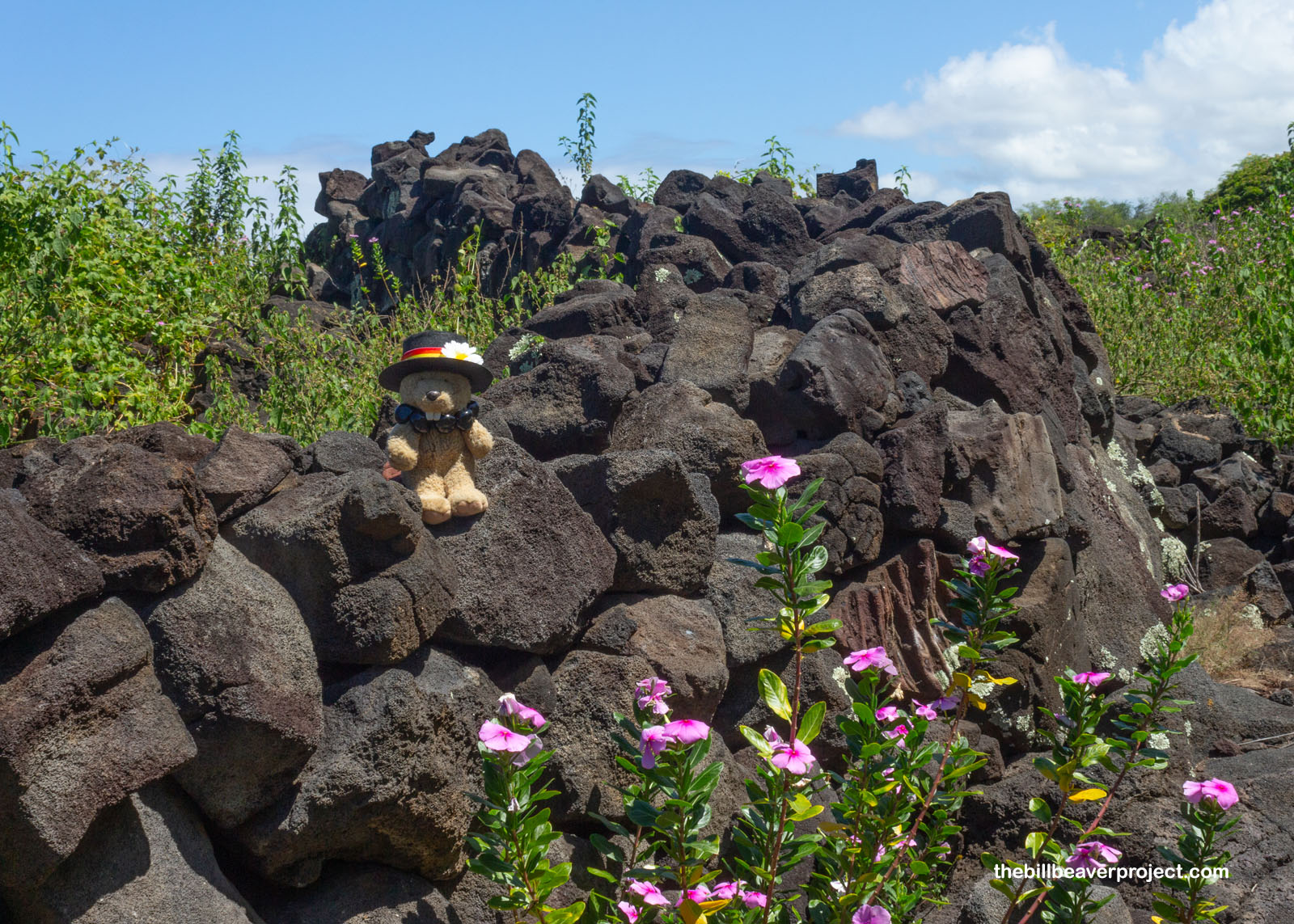
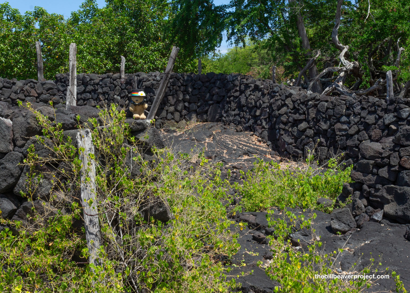
There were more structures inside the puʻuhonua grounds, from the wall of an ancient heiau (temple) that pre-dated the Hale o Keawe to the Great Wall surrounding the entire refuge! All of these walls were built without concrete or mortar, using only gravity and the natural friction of the lava rock to keep everything in place. This technique is called dry stack masonry, or uhau humu pōhaku!
 |
 |
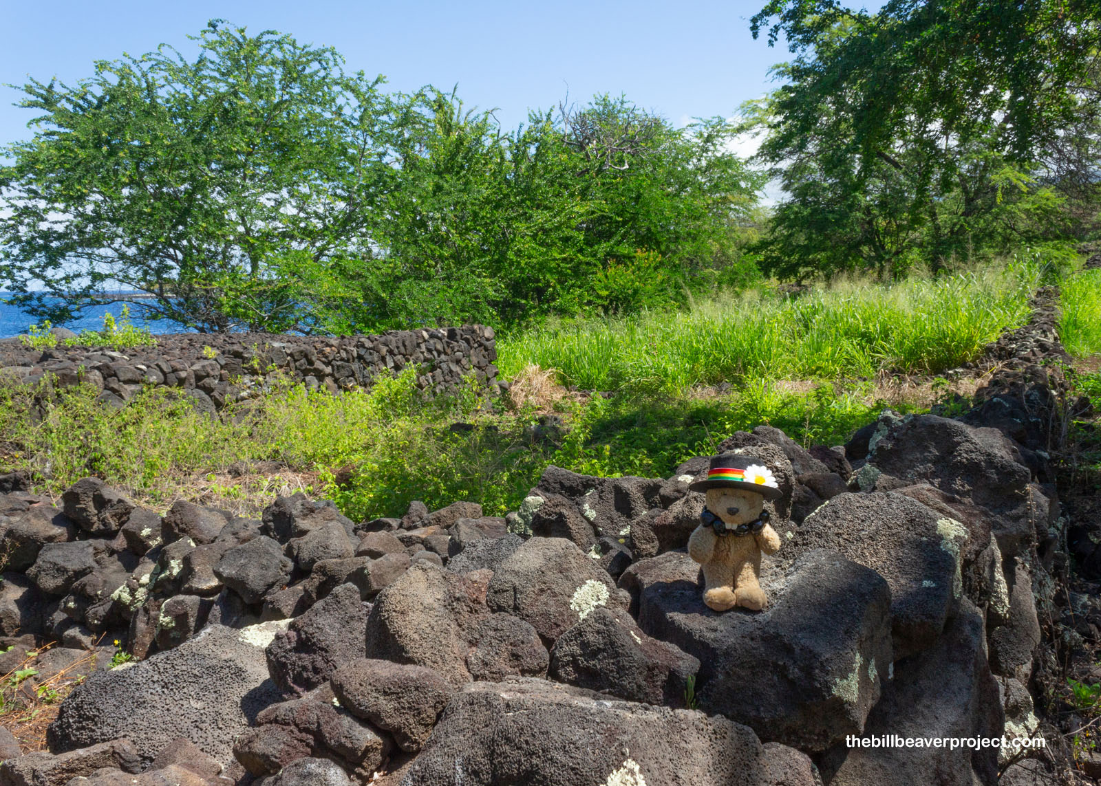
Just outside the walls of the puʻuhonua were the royal grounds, where aliʻi would hold ceremonies and negotiations, or have gaming tournaments! To feed everyone in attendance, these folks made use of fish ponds like this one, which filled with water at high tide and trapped fish inside as the tide went out! There were still lots of fish in the fish pond today!
 |
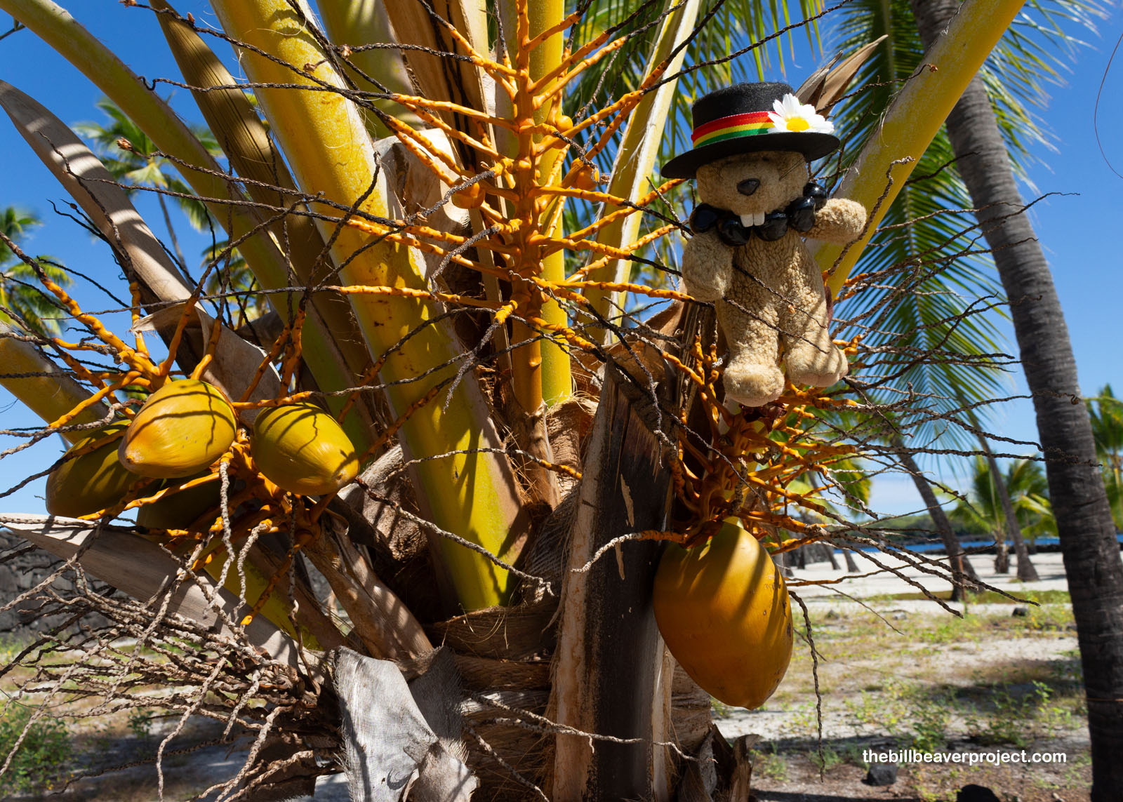
Aside from fish, there were plenty of coconuts to eat too! Called niu in Native Hawaiian, these trees were a great source of food, water, and fiber to make cords! Folks here did not, however, cure tummy aches by putting lime in the coconut, because limes weren’t introduced to Hawaiʻi until the 1880s!
 |
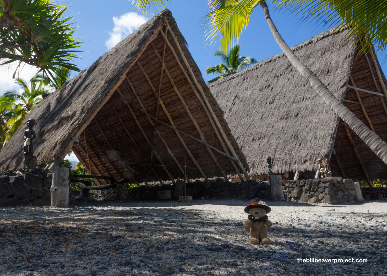
Those who weren’t seeking refuge against kapu penalties might have stayed in an open-air hālau like these! Today, these rebuilt hālau serve as a canoe house and a workshop for artisans during cultural demonstrations!
 |
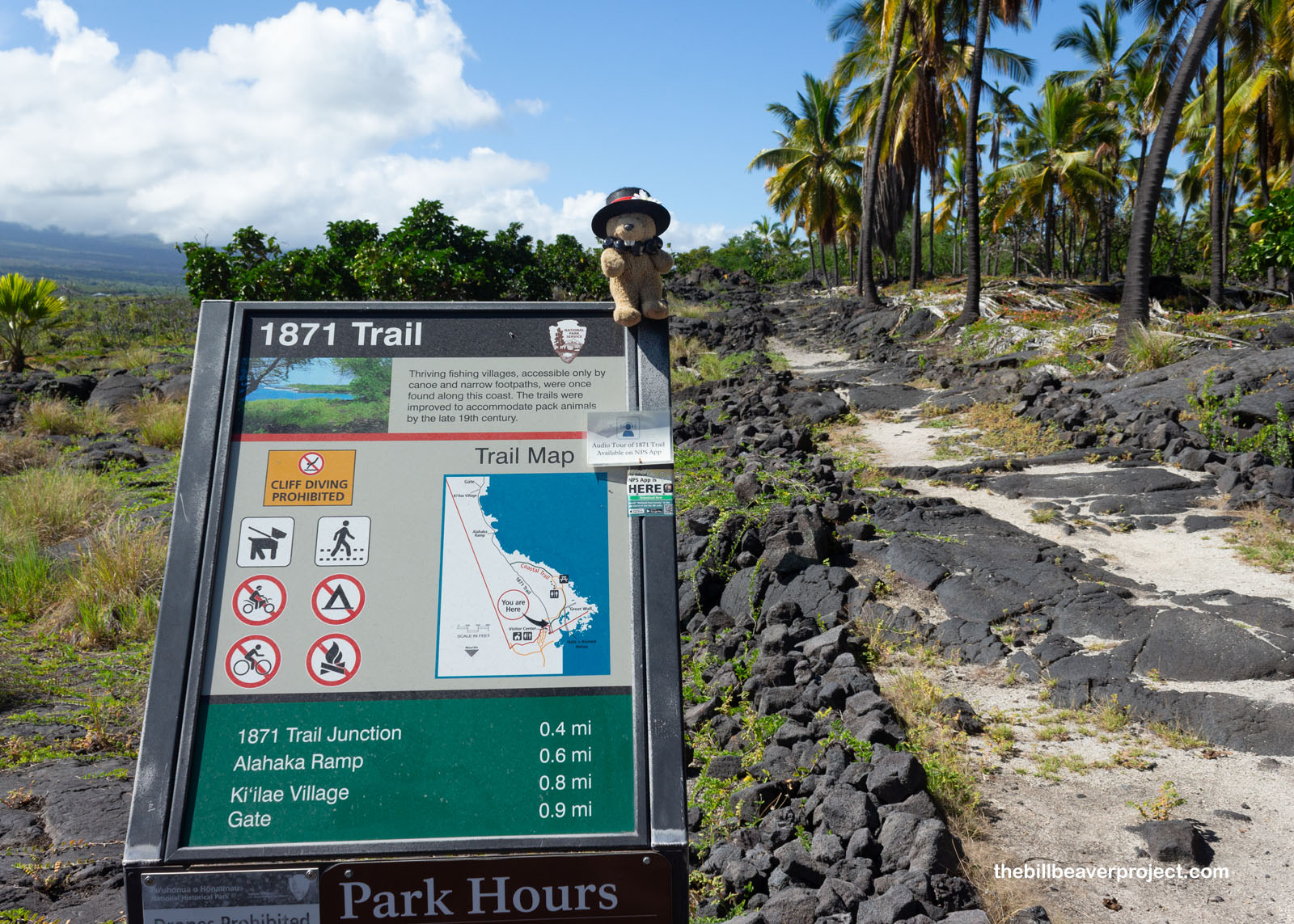
Beyond this area, there were villages all up and down the coast too! Folks would trek across the lava or travel from village to village by canoe, but in 1871, Kona Road Supervisor, Henry Cooper, had a road constructed to connect some of these villages, wide enough that horses could pass each other!
 |
 |
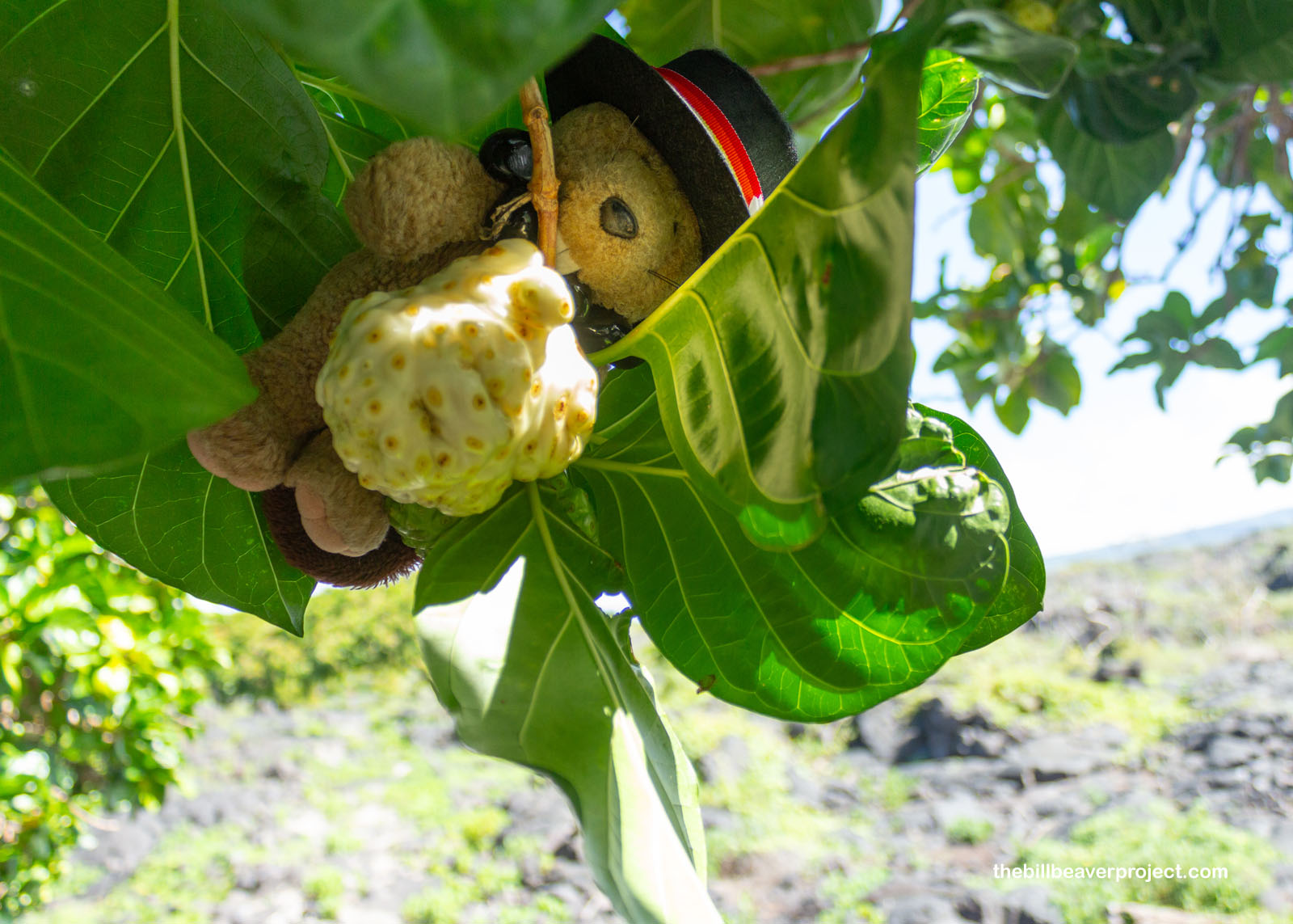
The first thing was a noni tree (Morinda citrifolia) with its bizarre, glob-shaped fruit! These noni fruits are not actually very tasty, it turns out! They’re described as having a gooey, peppery cheese flavor, but the bark and roots made very important purple and yellow dyes! The fruit itself is also known for having lots of anti-inflammatory and disinfectant properties as well, so while the medicine may not taste great, its positive reputation has survived many generations!
 |
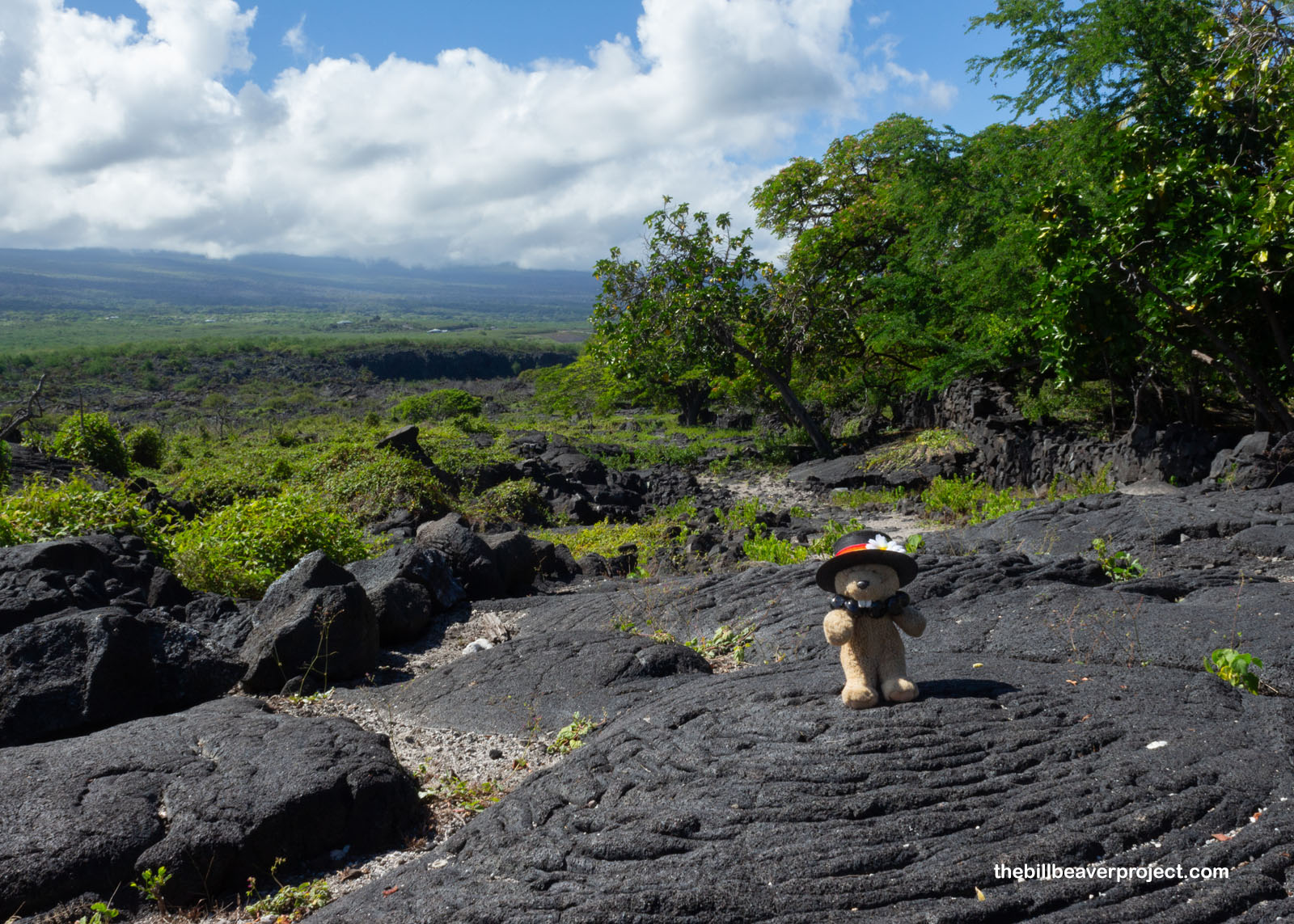
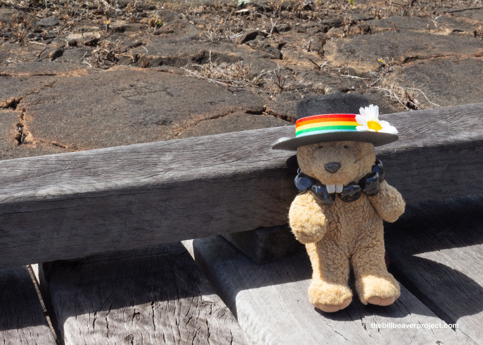
The trail wound through overgrown lava fields with plenty of wild goats browsing among the rocks, until it came to a slope called the Alahaka Ramp. Up until the mid-1800s, folks would have had to climb up and down this cliff by rope, part of what made the journey to the puʻuhonua so treacherous. Road supervisor, George Hardy, took charge of widening the rope and constructing the ramp, which made it much easier for this beaver to get up to the fine views overlooking Alahaka Bay!
 |
 |
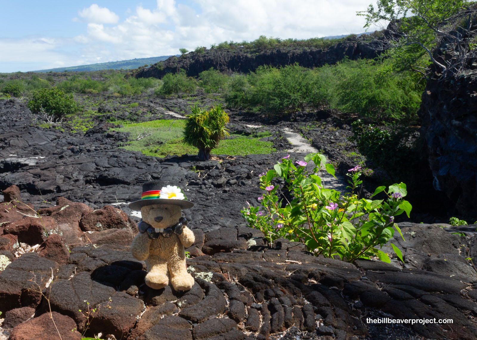
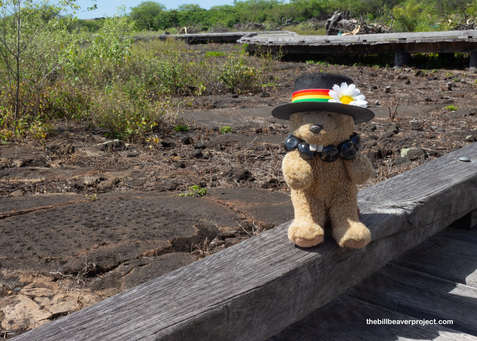
At the end of this 0.9-mile trail was the old village of Kiʻilae, which was most active around the turn of the 19th Century! It was part of a land grant of the same name and is a pretty great representation of how life changed in Hawaiʻi with the arrival of Europeans. This fishing-based community joined many others moving inland and toward cities. Kamehameha I even gifted this entire area to British boatswain, John Young, who showed him how to use the muskets that would give him control over all the Hawaiian Islands!
 |
 |
And then it was time to turn back, this time making a left hook onto the Coastal Trail, where I could see the ruins of Chief Keawe’s home! Long before his bones entered the Hale-O-Keawe, he was chief of the whole Big Island (except for Hilo, which was run by the ʻI family) from 1695 until 1725! He traveled across all eight islands and used diplomacy to gain loyalty, a very different tactic from his great-grandson, Kamehameha I!
 |
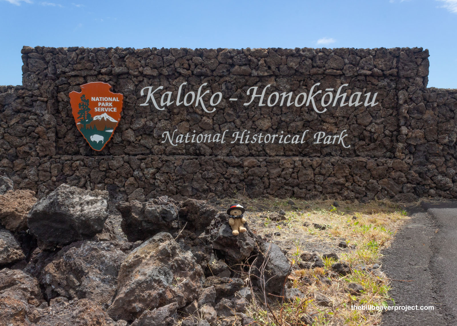
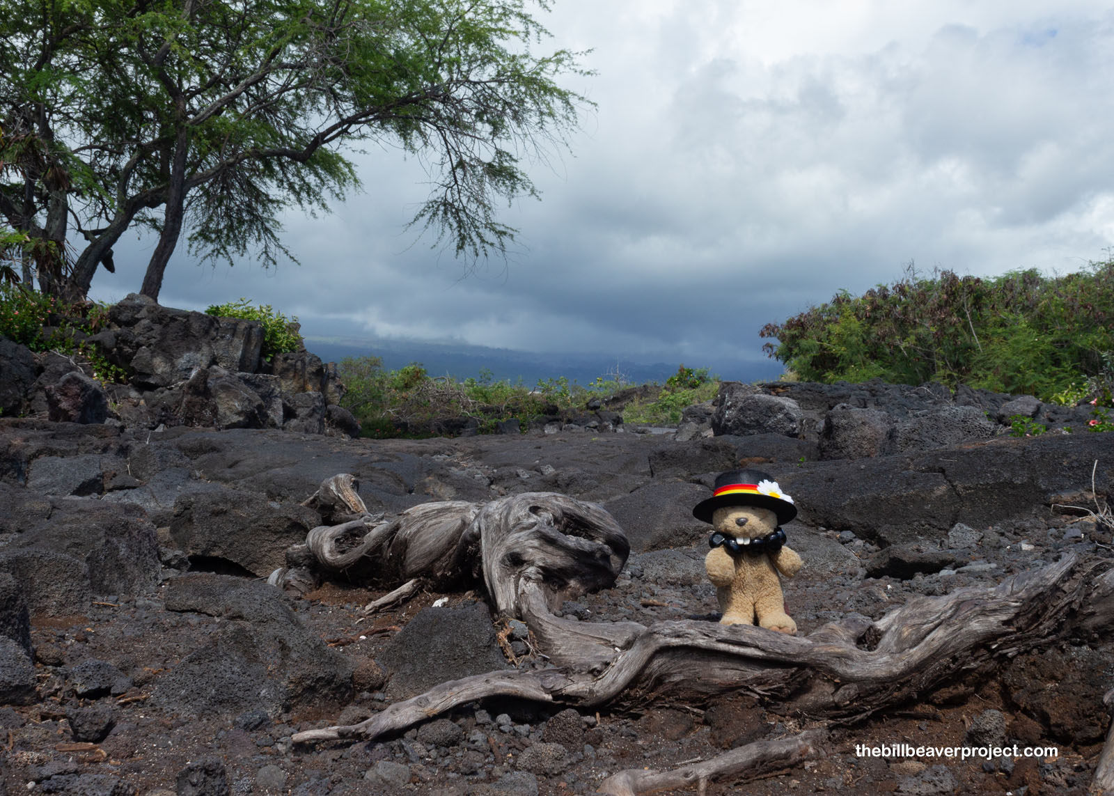
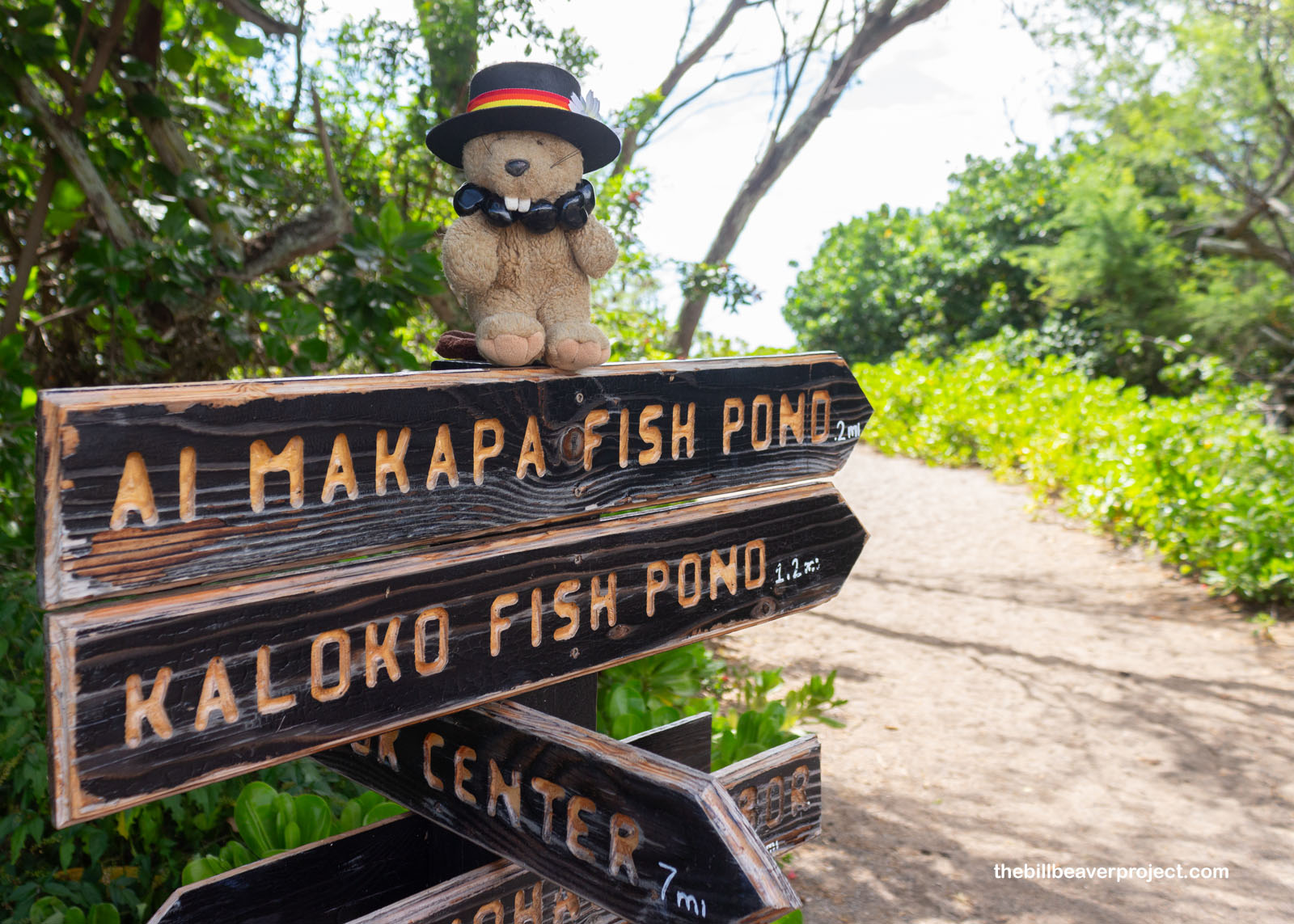
I took a quick break from the heat back at the AirBNB, where my host invited me to a potluck that evening in Waimea! I figured, why the heck not? It would be pretty close to my next destination, Kaloko-Honokōhau National Historical Park! This place encompasses two land divisions, or ahupuaʻa, one called Kaloko (“Pond”) and one called Honokōhau (“Bay where Waters Congregate”)! This is an important archaeological site that showcases some of the ingenuity of the first Hawaiians and is an important feeding place for green sea turtles!
 |
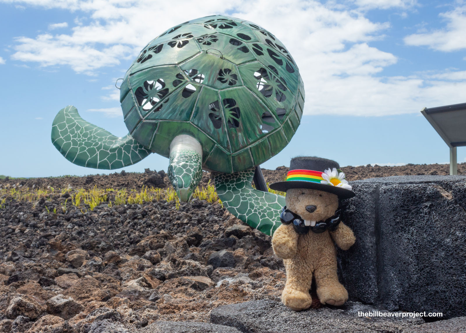 |
The ranger on duty said I’d arrived at the perfect time to see those turtles, because they liked to come in at high tide to eat algae! To see them, I’d have to trek about a mile to Honokōhau Harbor, but he warned me I’d need to time it carefully. The park closed at 4:00 sharp, and anyone left behind would have to spent the night on the lava rocks! No point waiting around; I was off!
 |
 |
Along the way, the ranger asked me to refill the brochure box by the petroglyph loop, so I did, exploring the etchings in the lava rock below the boardwalk! Unlike mainland petroglyphs, these kiʻi pōhaku (“rock carvings”) were pretty faint. There was no lighter coloration under the surface to make them stand out, so it really took special angles of the light to see them at all. They could date back to the 1200s CE when the first Hawaiians arrived, or they could be as recent as the 1770s because some depict European-style muskets! The easiest to see were the papamu dot-grids, which served as boards for a game called konane and as boards for calculating and planning!
 |
 |
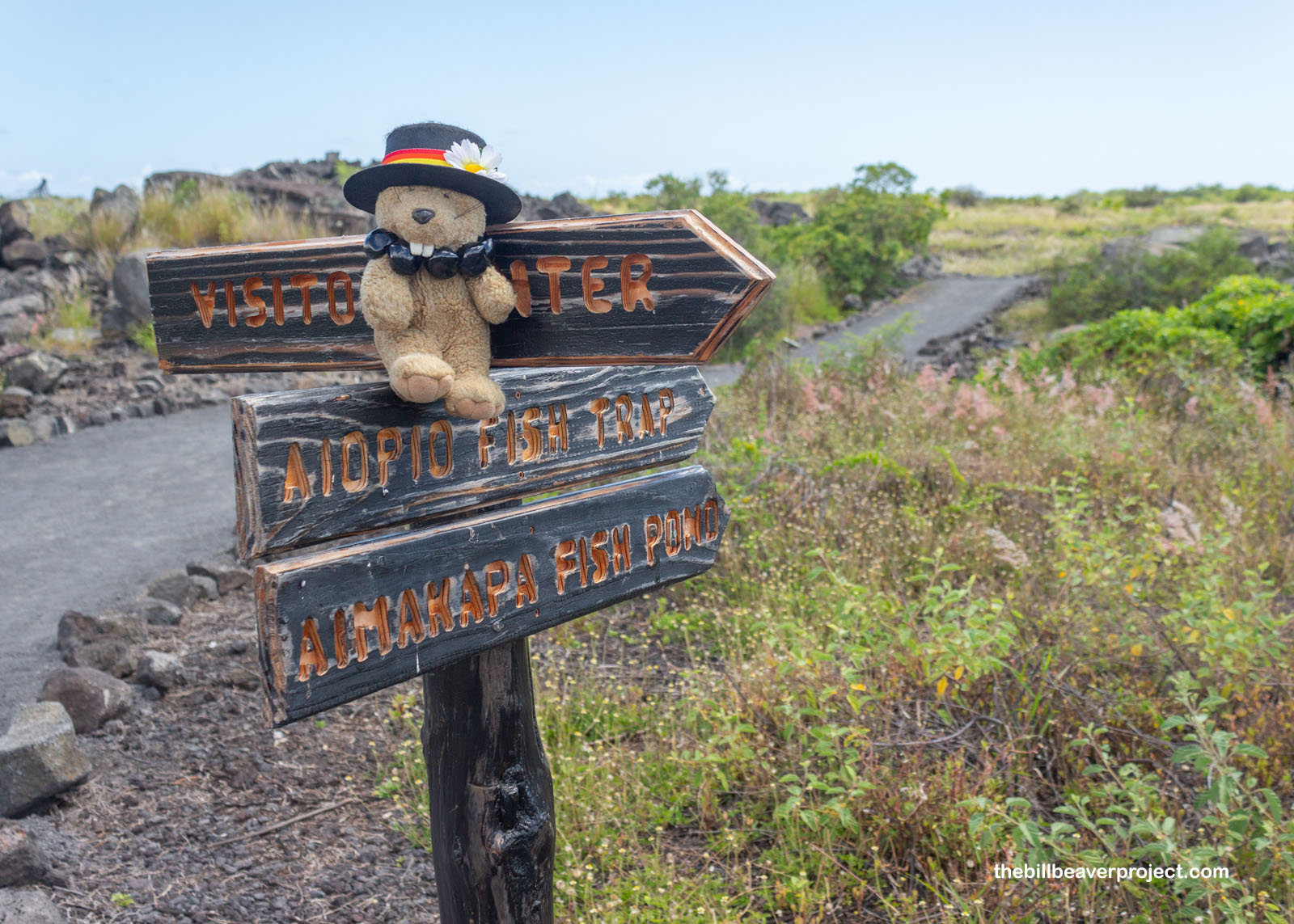
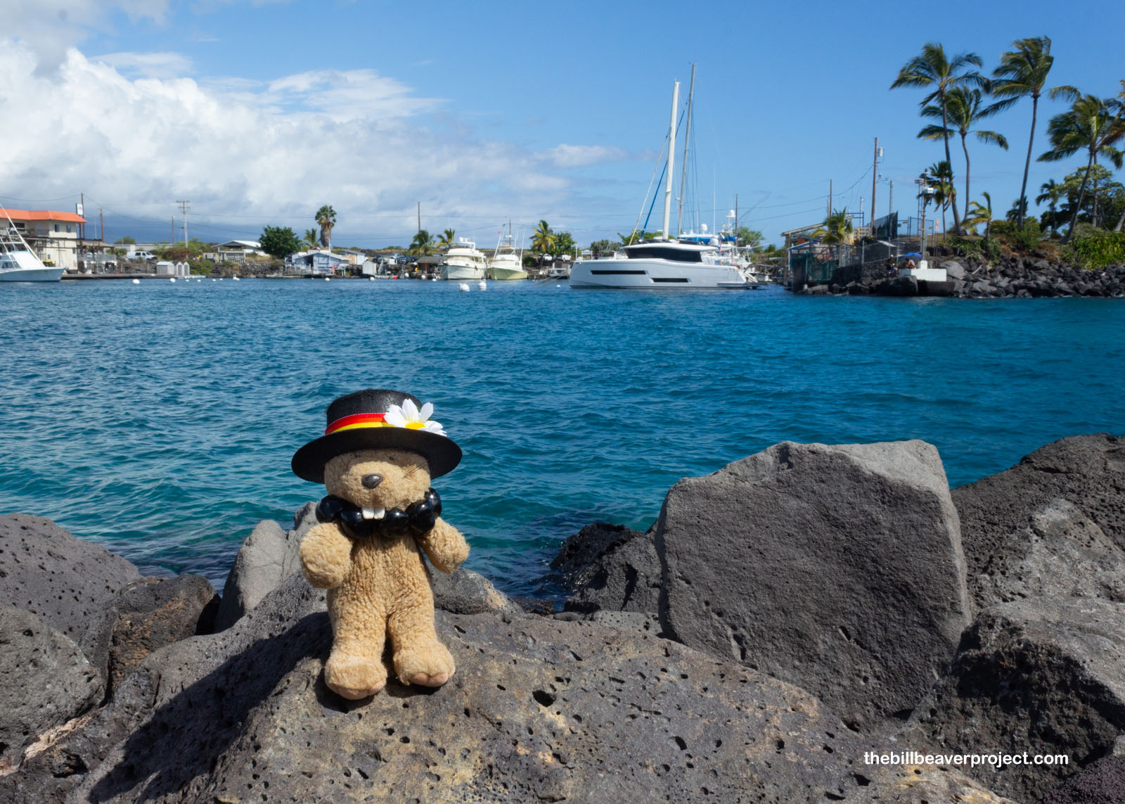
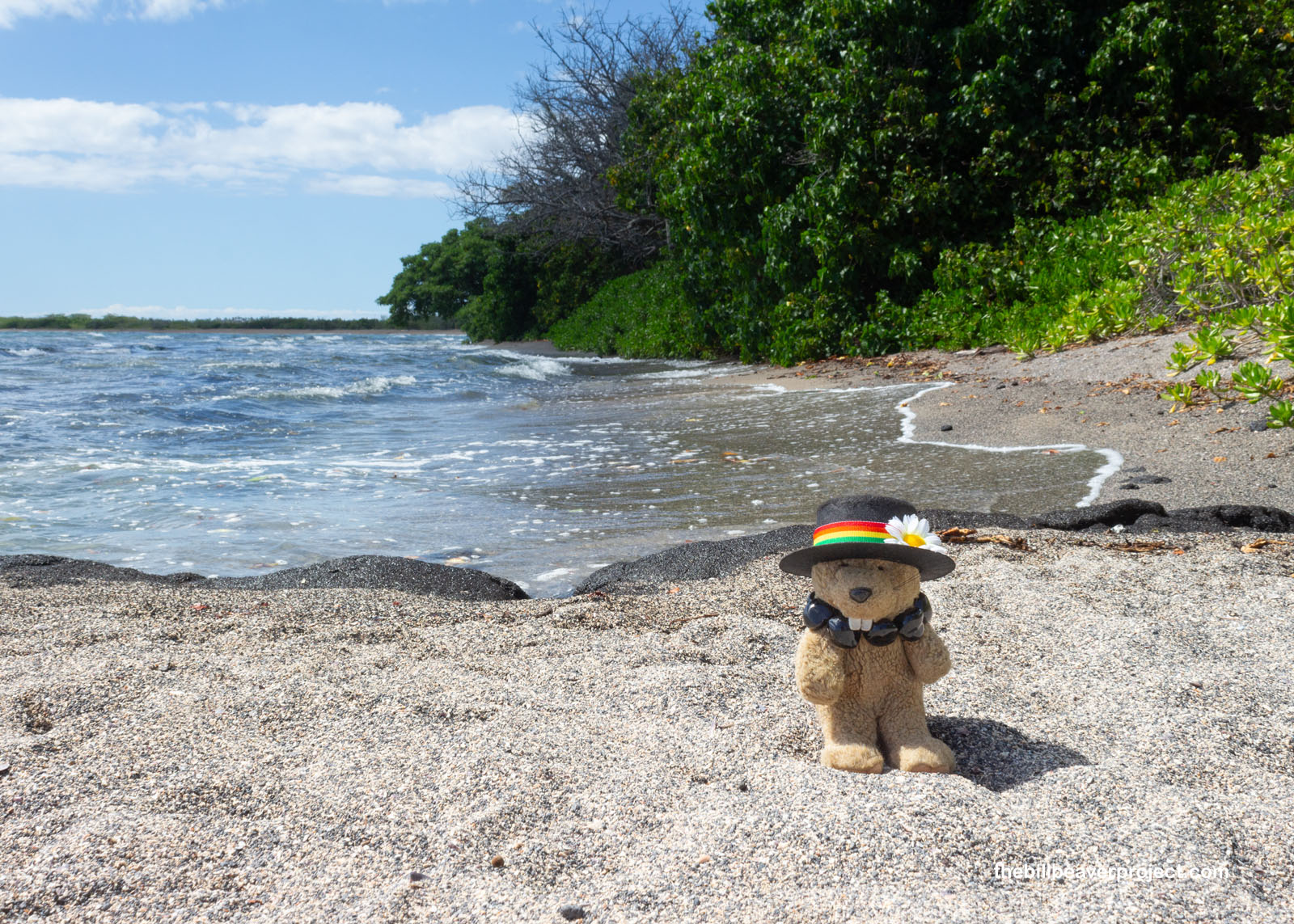
At last, I reached the harbor and peeled my eyes for honu, the sea turtles! The conditions were right, and the water was super clear, but I couldn’t see a single one! I might have made the wrong decision to start my trek from the visitor center instead of the harbor, because the harbor wouldn’t have locked me in at 4PM, which was quickly approaching!
 |
On top of that, the same conditions that were supposed to be ideal for sea turtles were the opposite for the park’s historic structures! The high tide had all but covered up the ʻAiʻōpio Fishtrap, and since I had neither completed my dive suit nor bought the right kind of memory card for my underwater camera, I was out of luck for this innovation today!
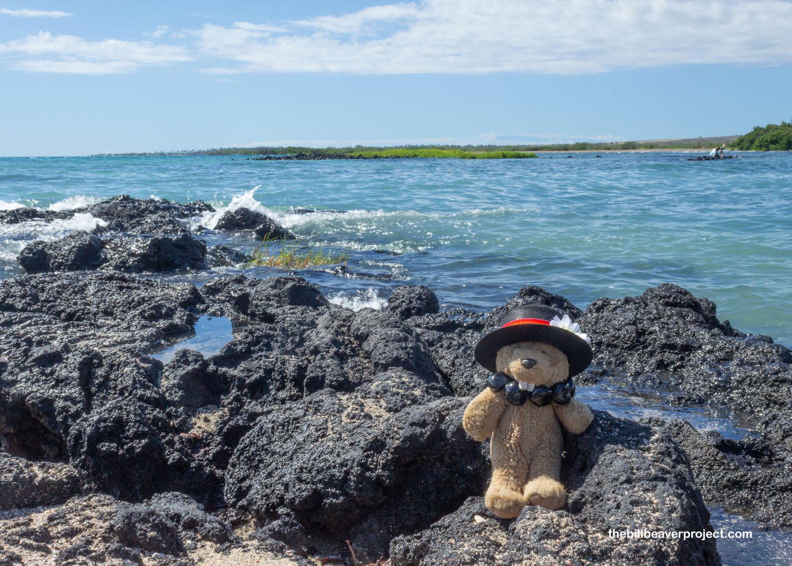 |
Plus, the tide was up so much that water completely covered the trail to the two historic kaloko (“fish ponds”) that were essential viewing at this park! In short, I’d need to come back another time when the tide was lower. I’ll make plans to do so in a couple of days; it’s good to be flexible with this sort of thing!
 |
 |
So instead, I trekked back to the visitor center and escaped before 4:00 PM, heading north and inland in the general direction of the potluck to see another Nationally Registered historic site: the 223-acre Puakō Petroglyph Archaelogical Preserve! The Big Island is home to the most petroglyphs in the Hawaiian islands, and this particular park boasts over 3,000!
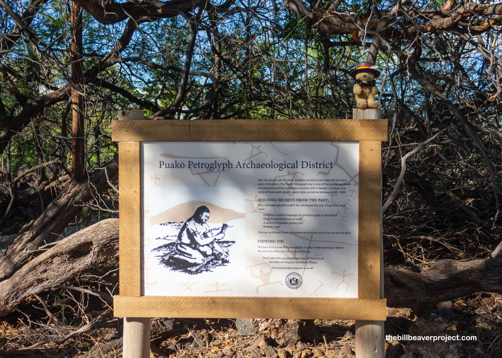 |
Getting there took another mile hike through a forest of invasive kiawe trees (Prosopis pallida), a type of mesquite introduced in 1828 by French missionary, Alexis Bachelot, back when this archipelago was known as the Sandwich Islands. Before the arrival of humans, new species arrived in the Hawaiian Islands about once every 10,000 years, by wings, wind, or water, but since then, especially with air travel, it’s estimated that 10 new species arrive here every year!
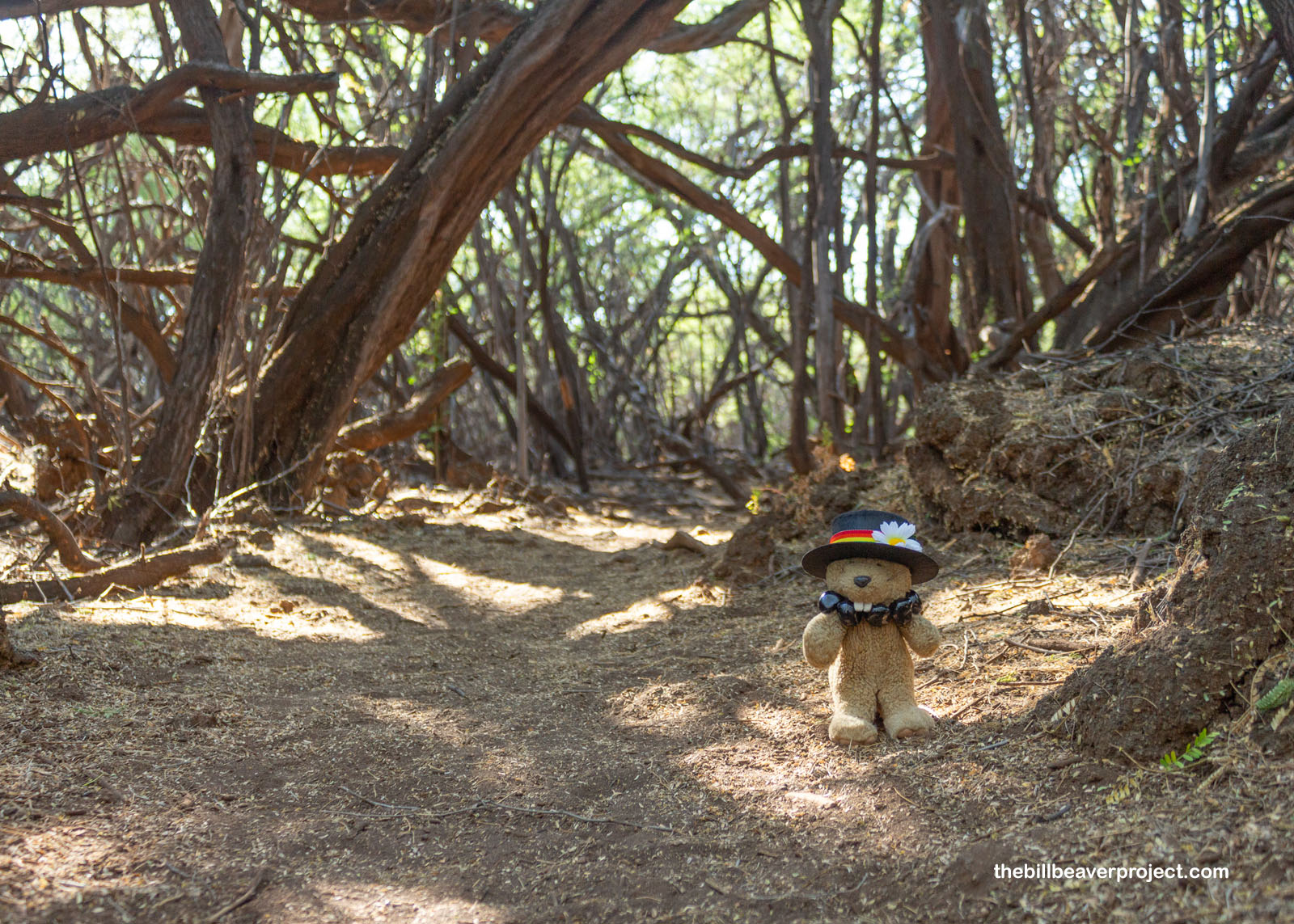 |
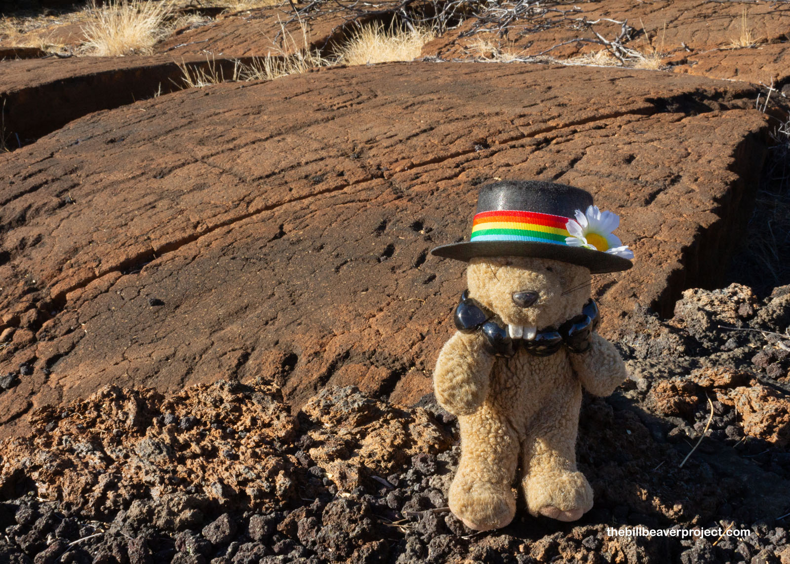
But beyond the forest, the Puakō Petroglyph field was simply enormous! Humans, turtles, and more figures covered a huge stone canvas, all pointing toward Mauna Kea, the tallest mountain in the world from base to peak! Like many petroglyphs, these are still shrouded in mystery, but it’s clear that this rock art, in a place named for the blossoming part of sugarcane, was especially sweet!
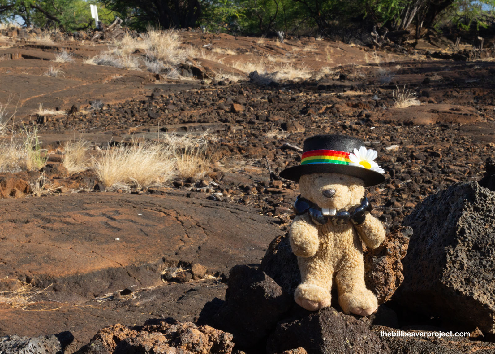 |
 |
From there, I headed for Waimea, through a suspiciously locked gate, through some huge greenhouses, to the potluck of the cucumber growers! And even though it was super unexpected, I had lots of fun! Lots of folks from Brazil and Mexico have come to Hawaiʻi to do agricultural work in this nice climate, and they brought lots of yummy food with them! There were songs on the guitar and some traditional Brazilian harvest dances too! This kind of spontaneous fun is really what makes adventuring so wonderful, and I headed back to Captain Cook in a great mood with a full belly. There, I settled in for the night in a tropical shack and fell asleep to the chorus of crickets, geckos, and coqui frogs!
 |
 |
I’ll need all the rest I can get too, because tomorrow’s going to be full of sun-soaked trekking across an active volcanic landscape when I visit Hawaiʻi Volcanoes National Park! Stay tuned for more national park adventuring!
A hui hou!

More 2023 Adventures |
Total Ground Covered: 149.0 mi (239.8 km) |
Next Day |