 Previous Day |
Captain Cook → Kailua-Kona 28.2 mi (45.4 km) |
 Next Day |
Ua hala ke kai, e nā mea a pau!
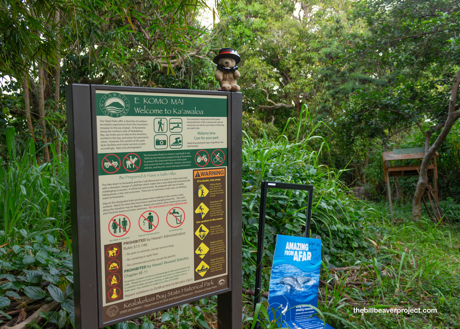
After all the volcanic heat and fire yesterday, today’s going to be a lot more water-focused! It’s a Big Island, after all, so I’m winding my way up the Kona Coast toward the airport, exploring neat historic sites along the way. First up, I’m starting off the morning with a two-mile trek into Kaʻawaloa Bay State Historical Park, a place that puts a whole new spin on Valentine’s Day!
 |
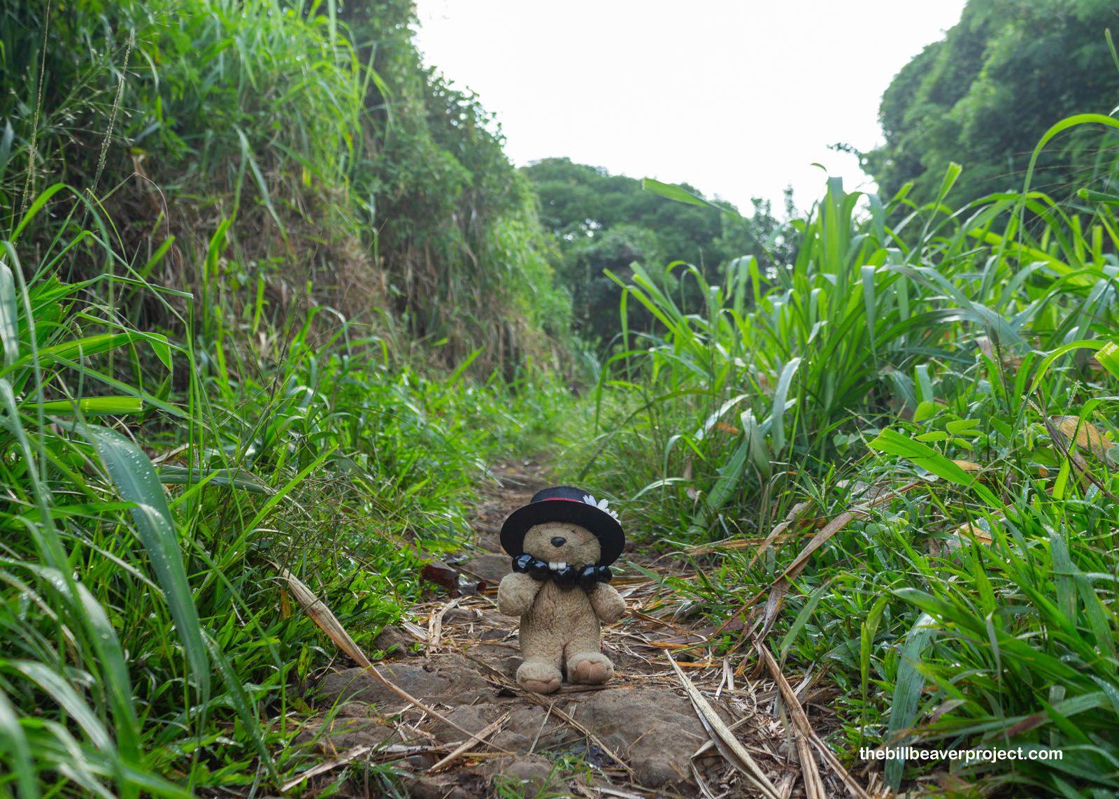
Gosh, it was a muggy start, with mosquitoes buzzing all throughout the towering, dewy grass on all sides of the trail. It was kind of slick, and I wondered if it would stay that way the whole journey down… and back up again! Luckily, I was pretty sure there were no large, scaly predators hiding in this long grass. Pretty sure!
 |
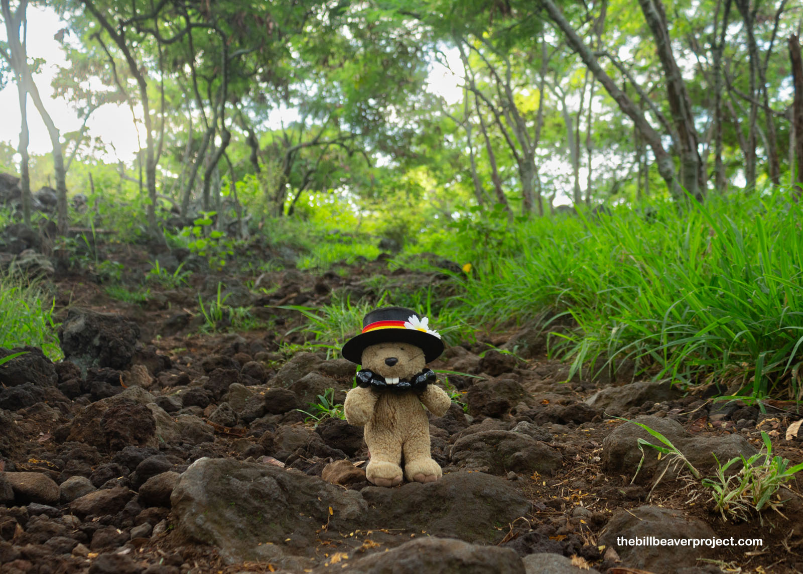
Downhill treks are kind of a mind game, because you know you will eventually have to schlep all the way back the way you came, but as the tall grass settled down into goat-infested volcanic slopes, it got a little less slick and a whole lot prettier! The cloud cover was very welcome, because I could tell it was going to be one hot, humid day!
 |
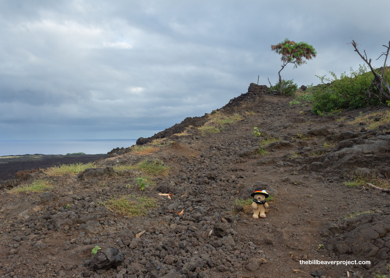 |
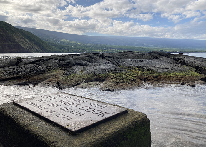
Two miles down, I came to the shore, where there was a small, simple plaque marking the spot where, on February 14, 1779, “Capt. James Cook Met His Death!” See, Captain Cook was originally a cartographer and solar observer with the British Royal Navy, who had previously circumnavigated the globe via Tahiti, New Zealand, and Australia. On his second voyage, he crossed the Antarctic Circle and claimed South Georgia and the South Sandwich Islands for Britain! It was his third voyage when he encountered Hawaiʻi and named them the Sandwich Isles after John Montagu, the fourth Earl of Sandwich!
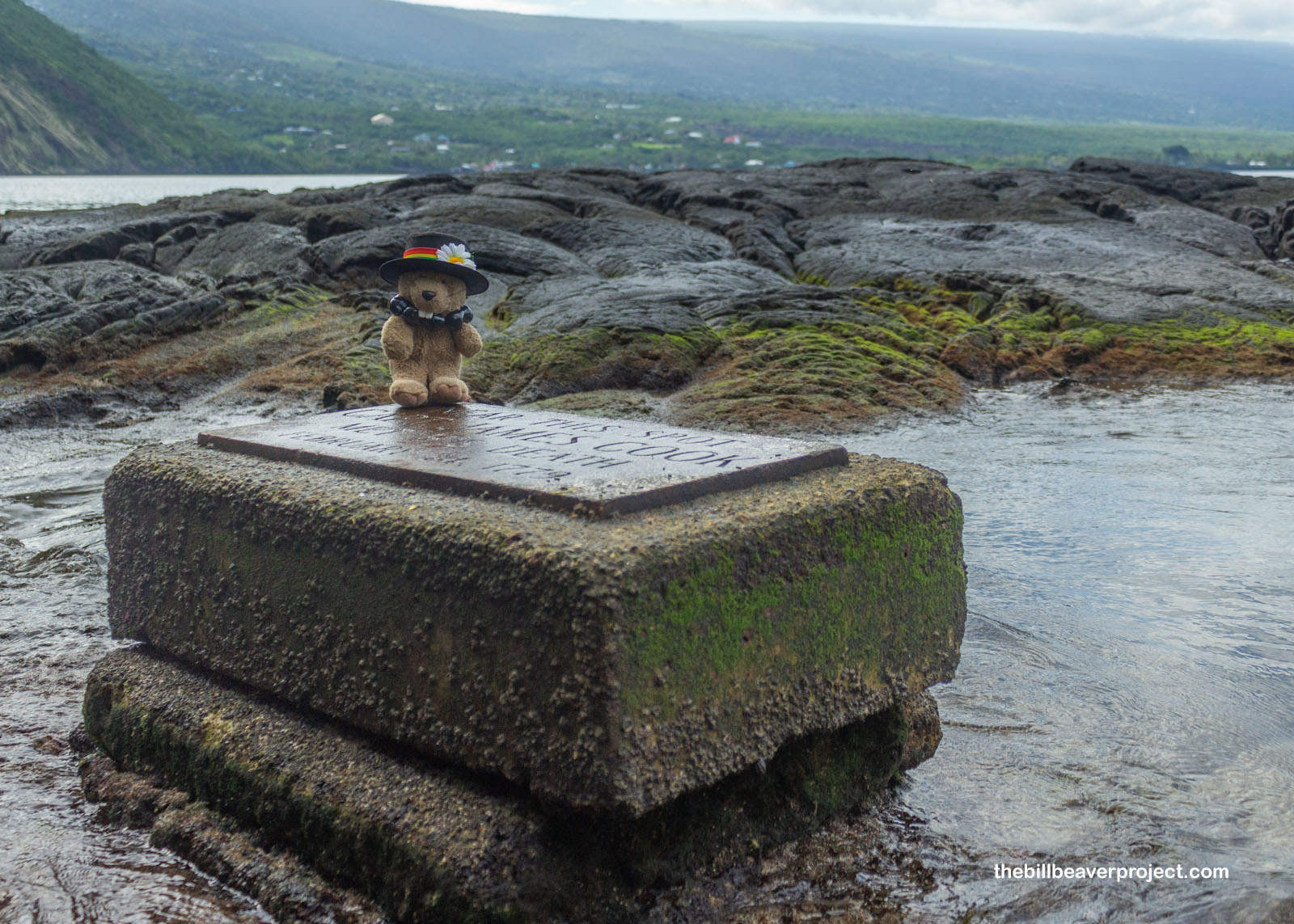 |
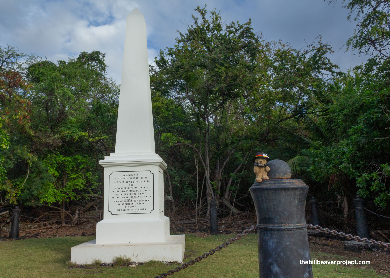
So how did things go so terribly wrong for Captain Cook? Well, it all started when he treated the fence surrounding the sacred Morai burial ground as regular wood. When the locals wouldn’t sell it to him, he ordered his men to chop it up! Then the crew insulted one of the aliʻi with a false theft accusation, and just when they thought they’d dropped the mic on their way out, a storm blew them back in! By this time, the local Hawaiians were not so pleased to have them back! They started stealing from the British crew, including a longboat, which inspired Captain Cook to kidnap the aliʻi, Kalaniʻōpuʻu! Bad idea! The others pursued them to the shore and when the captain attempted to fight them, they beat and stabbed him to death, along with four other Royal Marines. Today, he has an obelisk memorial, but folks have been pulled no punches with their graffiti messages. He was kinda asking for it!
 |
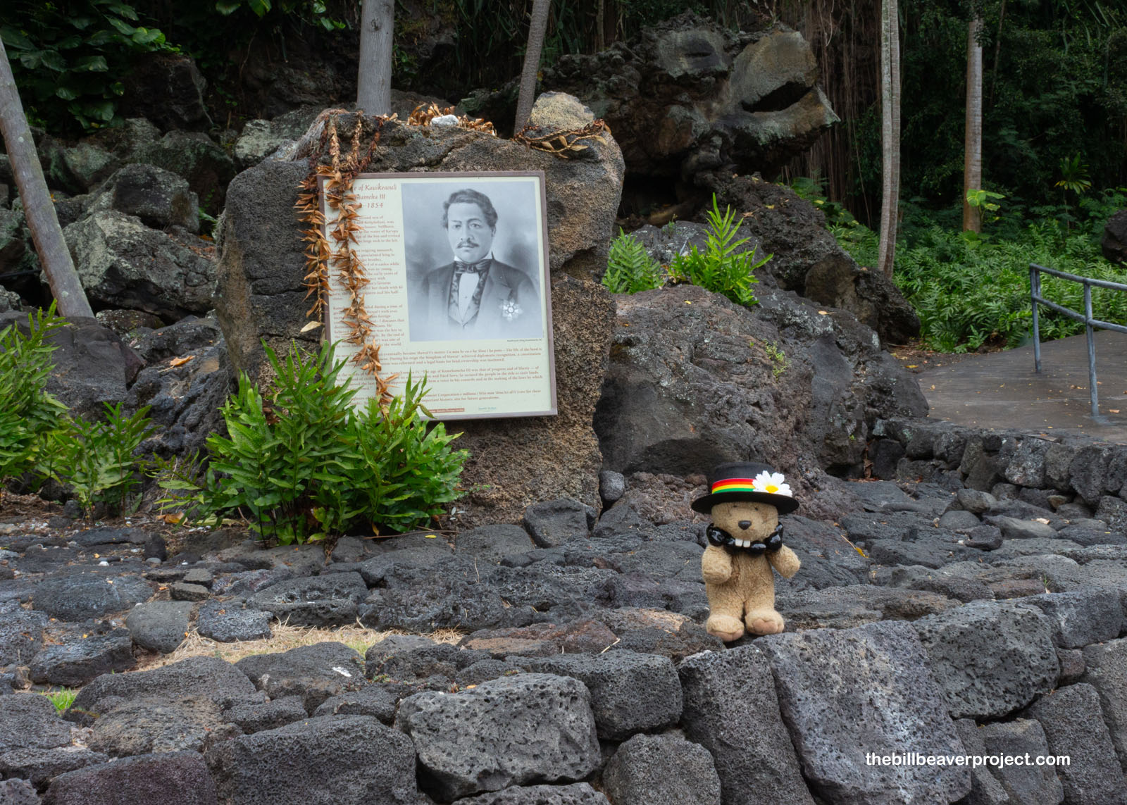
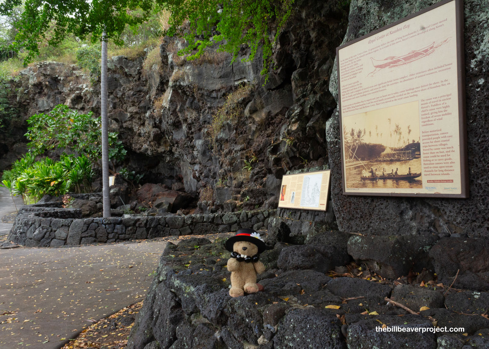
I hiked back up from this storied spot and continued my way up to coastline, from a death site to a birth site! This spring, called Hoʻokūkū is where Kamehameha I’s wife, Keōpūolani, traveled 50 miles to give birth to her second son, Kauikeaouli, on March 17, 1814. He would grow up to become Kamehameha III! This area in Keauhou Bay was sacred to the whole Kamehameha family, and there were several heiau built here, including one by Liholiho (a.k.a. Kamehameha II)!
 |
 |
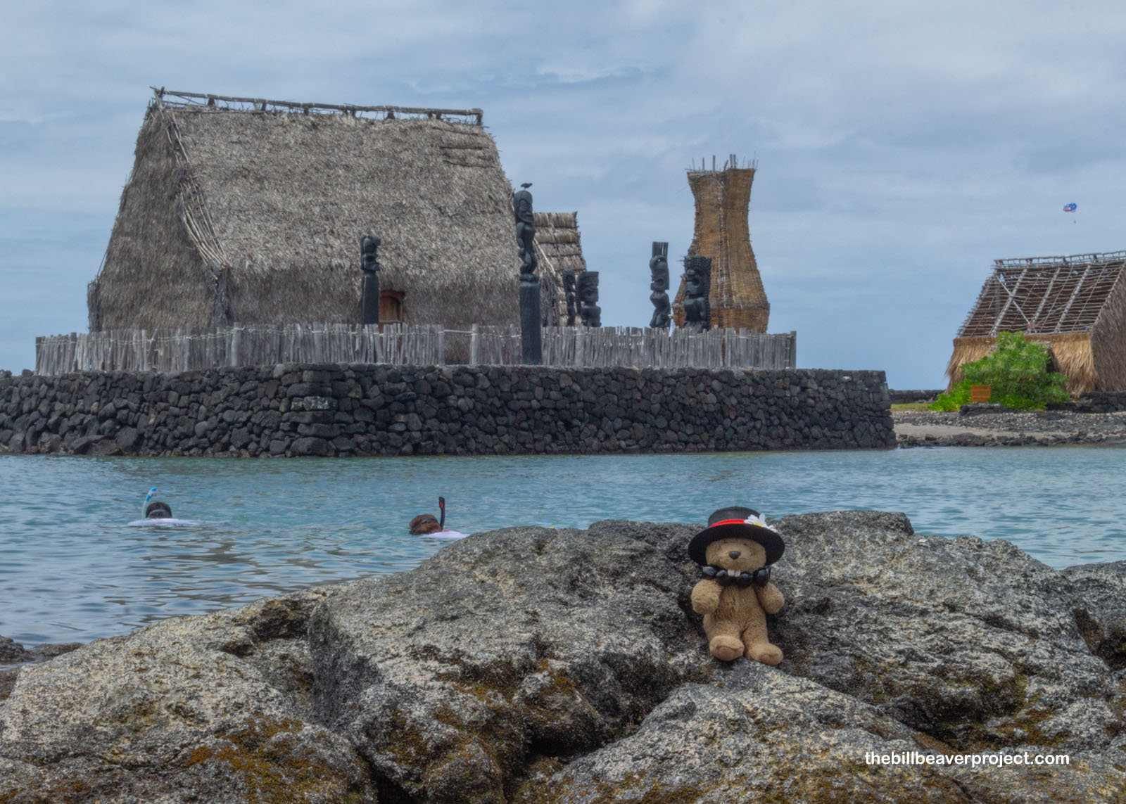
And then I headed into the heart of Kailua-Kona, where it was super hot and very clearly the heart of Big Island tourism! That’s because, one year year before Kamehameha III was born, the whole royal family moved their royal capital back from Honolulu to this spot on the Big Island called Kamakahonu! The aliʻi who owned this ahupuaʻa gifted this patch of land to the supreme chief, or aliʻi ‘ai moku!
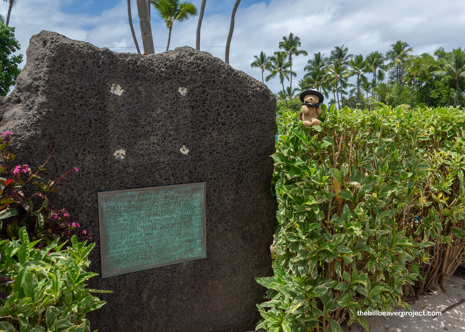 |
One of the king’s first acts here was to restore and rededicate the heiau to Lono, called ʻAhuʻena, so that the fertility god might end the famine that took hold of the island that year! In many ways, it was the final official act of the Hawaiian religion! After Kamehameha I died in 1819, his wives and son ate together, breaking the laws of kapu, which began the slow and steady unraveling of the Hawaiian religion, and the destruction of heiau across the islands! ʻAhuʻena became a fort, and Kamakahonu went from royal capital to island capital to lumber yard for H. Hackfield & Company, but they would later fund the reconstruction of ʻAhuʻena in 1975!
 |
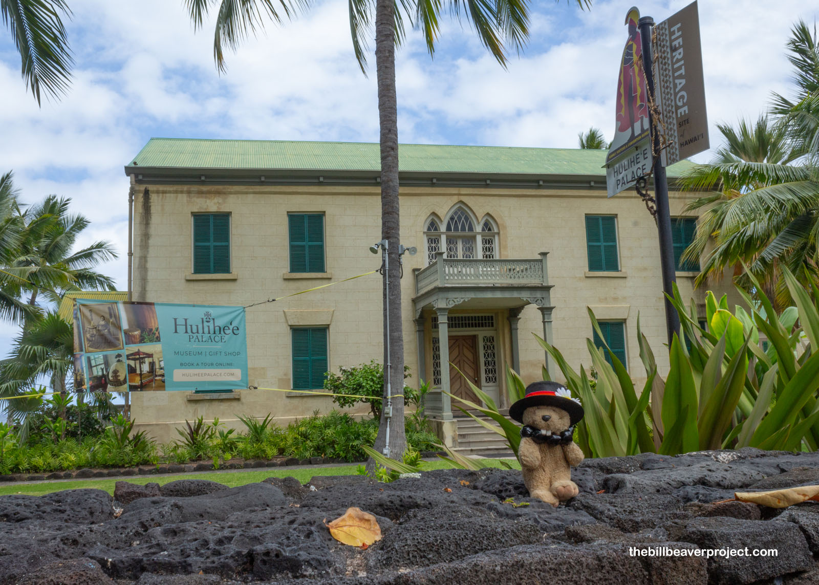
Long after Kamehameha II moved the royal capital to Lahaina on Maui, the Big Island governor, John Adams Kuakini, had a palace of his own constructed here of lava rock, coral mortar, and koa wood, which he called Huliheʻe! As the kapu system fell, and Christian missionaries moved in, Governor Kuakini encouraged their educational and religious work in Kamakahonu. Huliheʻe passed to his daughter-in-law, Princess Ruth Keelikolani, then to King Kalakaua in 1884, for use as a summer home when he wasn’t staying in ʻIolani Palace on Oahu!
 |
Gosh, the day was getting hot, and I really regretted not bringing a snorkel and my waterproof camera! I settled for gobbling up a mountain of shave ice from Kona Wave Cafe before heading to my final Big Island destination: Kaloko-Honokōhau National Historical Park… Part 2!
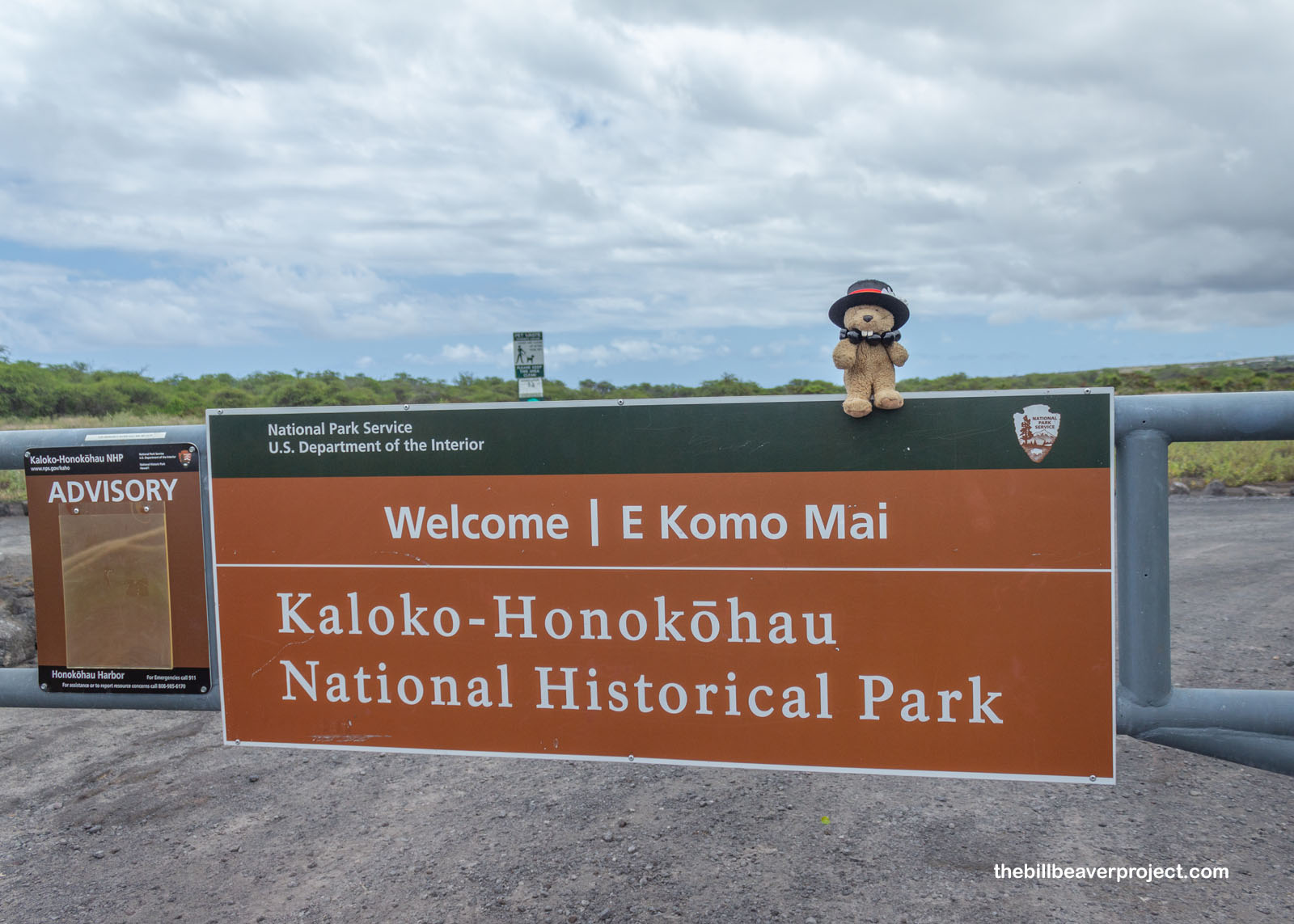 |
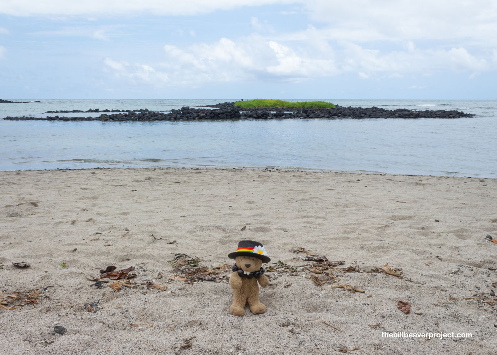
See, a lot of this historical park is about trapping and farming fish, and so most of it is only accessible at low tide. When I came here on July 1st, the tide was super high, so I wasn’t able to see much of anything, like the ʻAiʻopio Fishtrap or the two big fish ponds! Even though it was a little cloudy today, the tide was out just enough for me to see the rest of this park!
Two days ago (High Tide):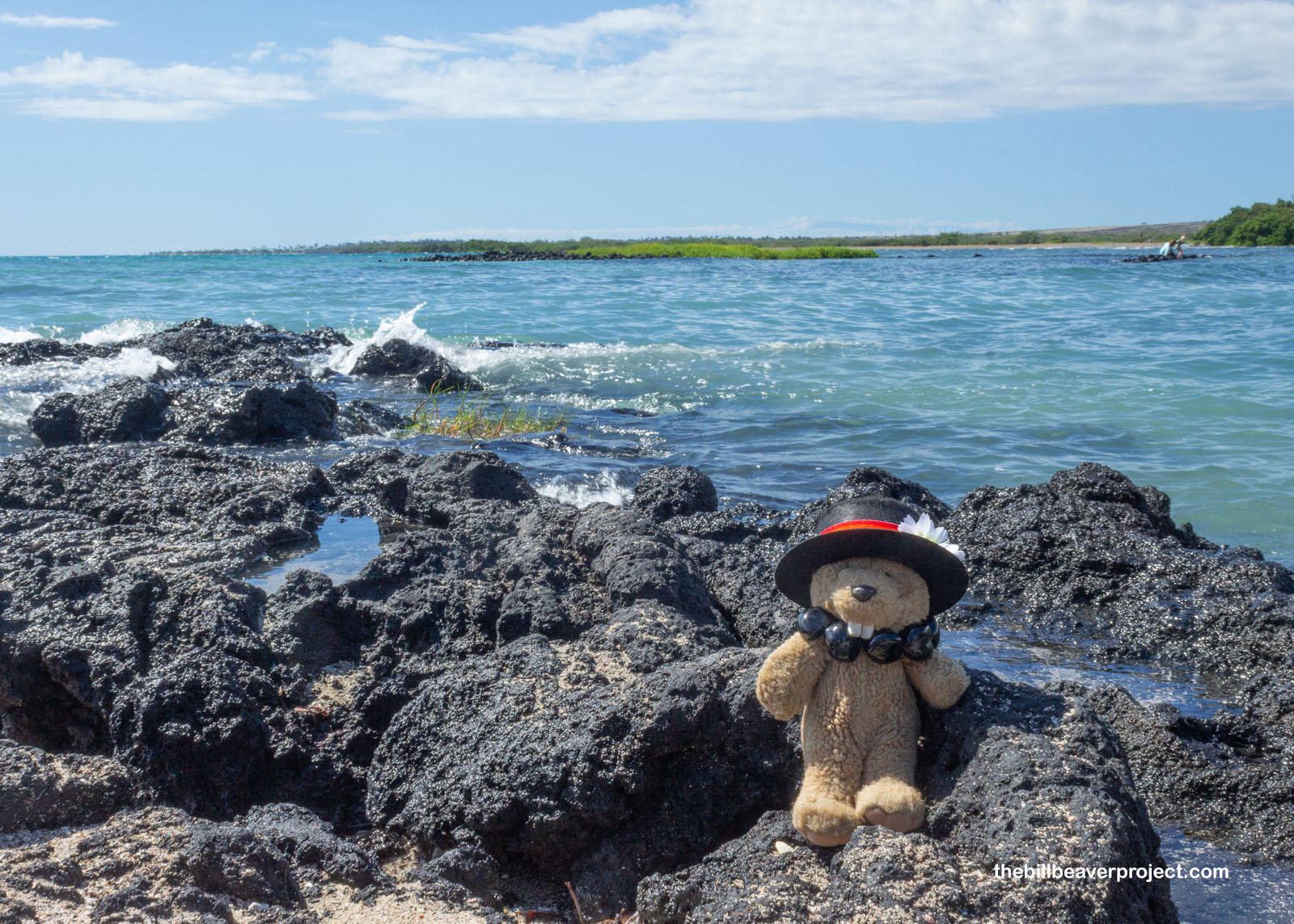 |
Today (Low Tide):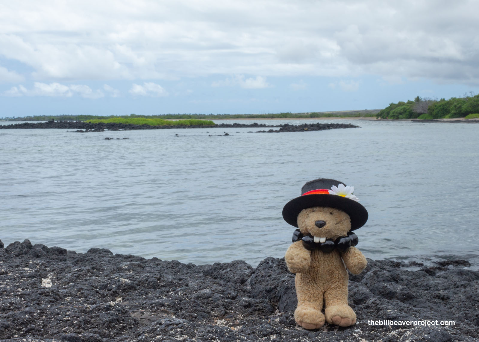 |
So first and foremost, the ʻAiʻopio Fishtrap was ingenious! Built out of lava rocks, this corral allowed fish to enter during high tide, but as the tide went out, they were stuck! Fisherfolk could then net them with ease!
 |
And boy, what a difference a tide makes! Last time I was here, the beach trail was completely submerged, but this afternoon, a wide, rocky path had been uncovered, letting me journey to the first fish pond, ʻAimakapā!
Two days ago (High Tide):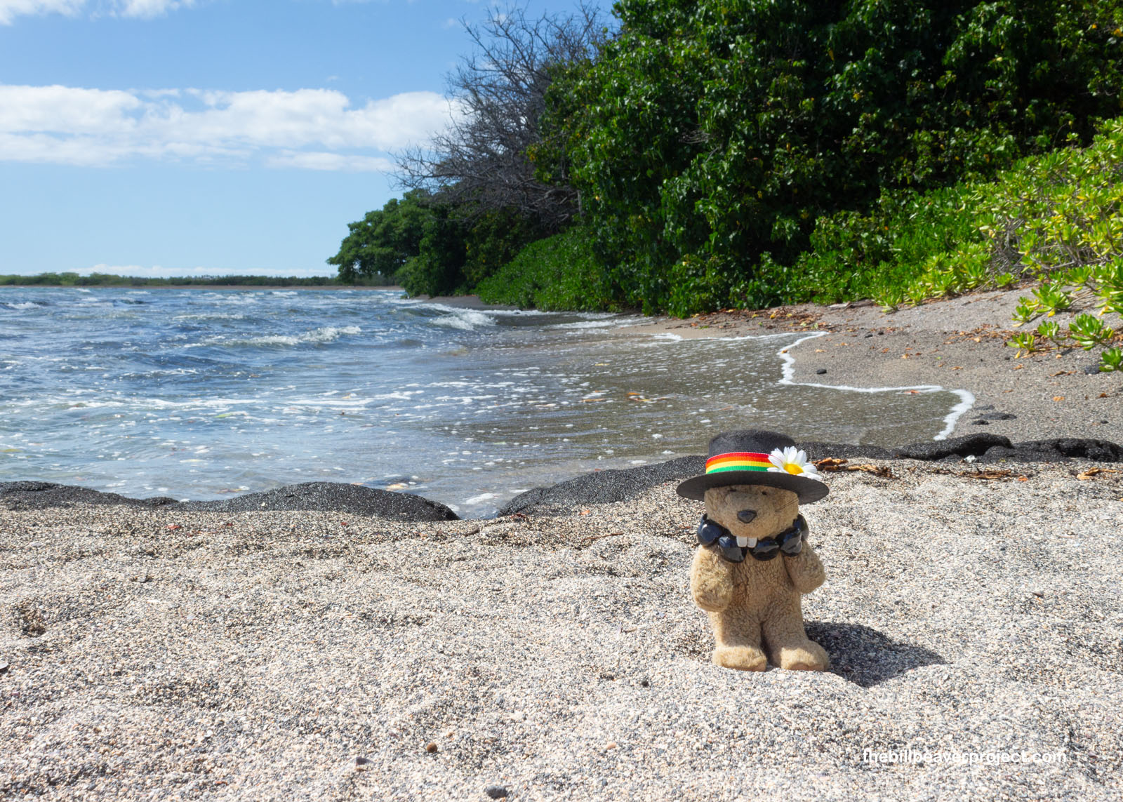 |
Today (Low Tide):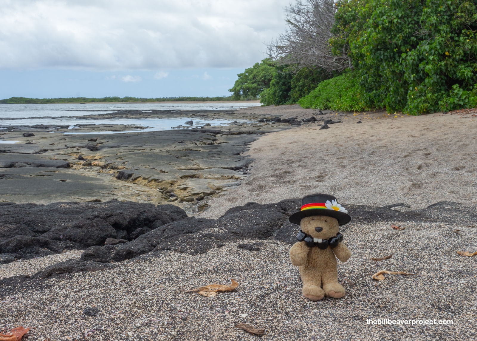 |
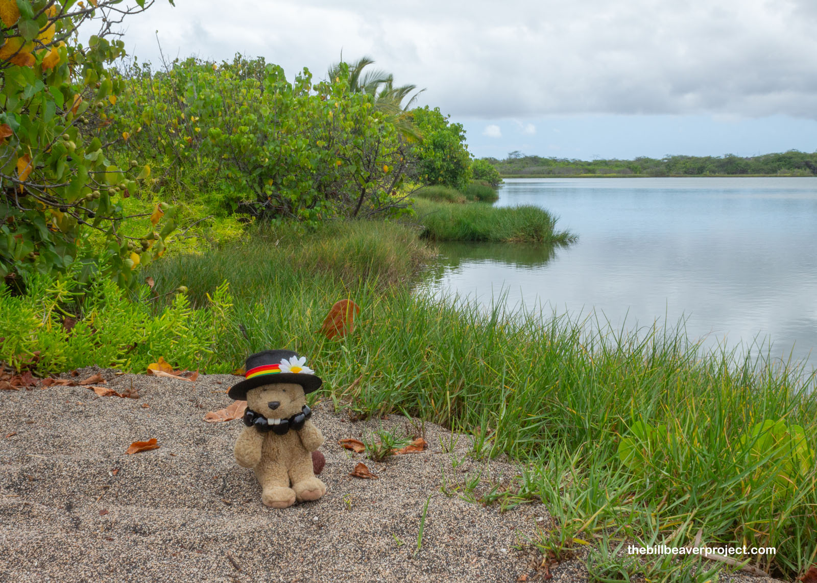
Like the ʻAiʻopio Fishtrap, the ʻAimakapā fish pond also made use of rising and falling tides. At high tide, the waves could dump fish over the dunes and right into this lake, where the low tide would leave them trapped! Unlike ʻAiʻopio, though, a fish pond (or loko puʻuone) also worked as a fish farm! Hawaiian folks would raise fish here, and I’ll bet some of the fish I saw were direct descendants of the same ones who swam here over 600 years ago!
 |
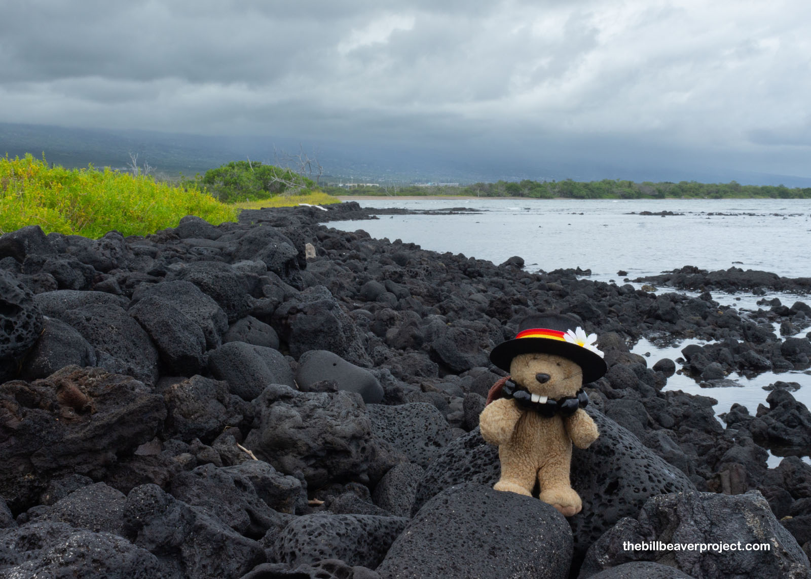
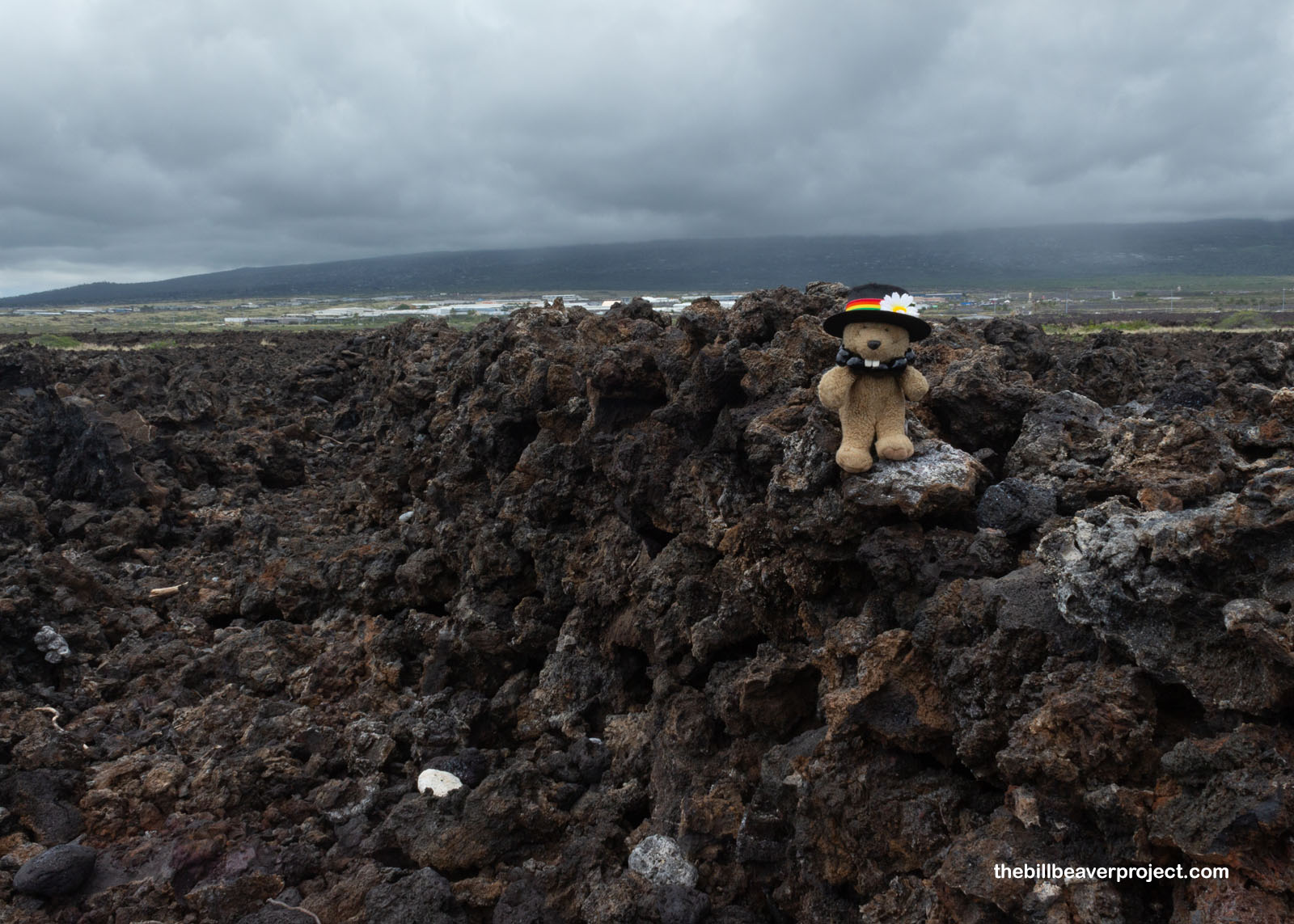
The trail turned from sandy dunes to lava boulders, which were frankly much easier to walk on! This flow came from a nearby volcano called Hualālai, which erupted as long as 10,000 years ago and as recently as 1801!
 |
This lava also formed the divide between the park’s two namesake ahupuaʻa, Kaloko to the north, and Honokōhau to the south! I was just over halfway to my destination!
 |
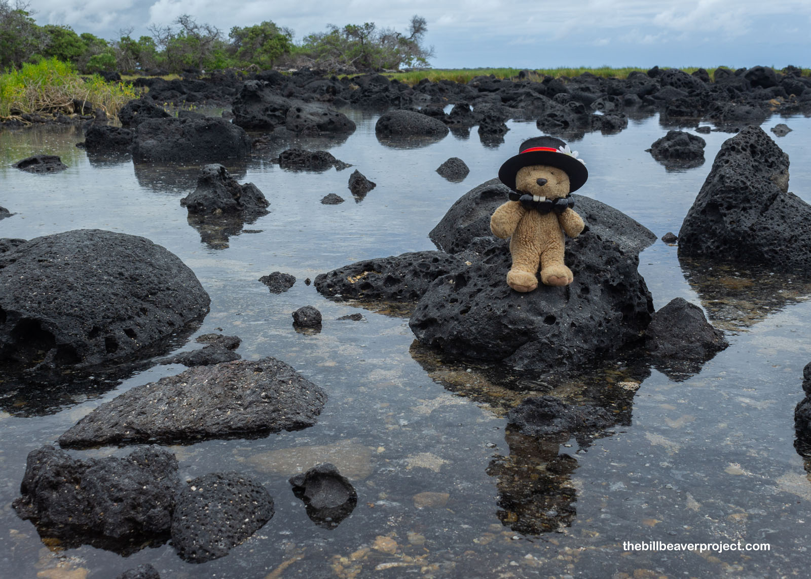
But I’m also a sucker for tide pools and taking photos of reflections! The stone-filled pools along the final stretch to Kaloko fish pond were worth a pause!
 |
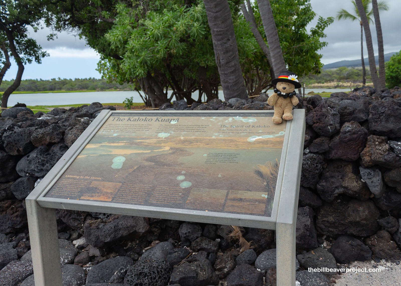
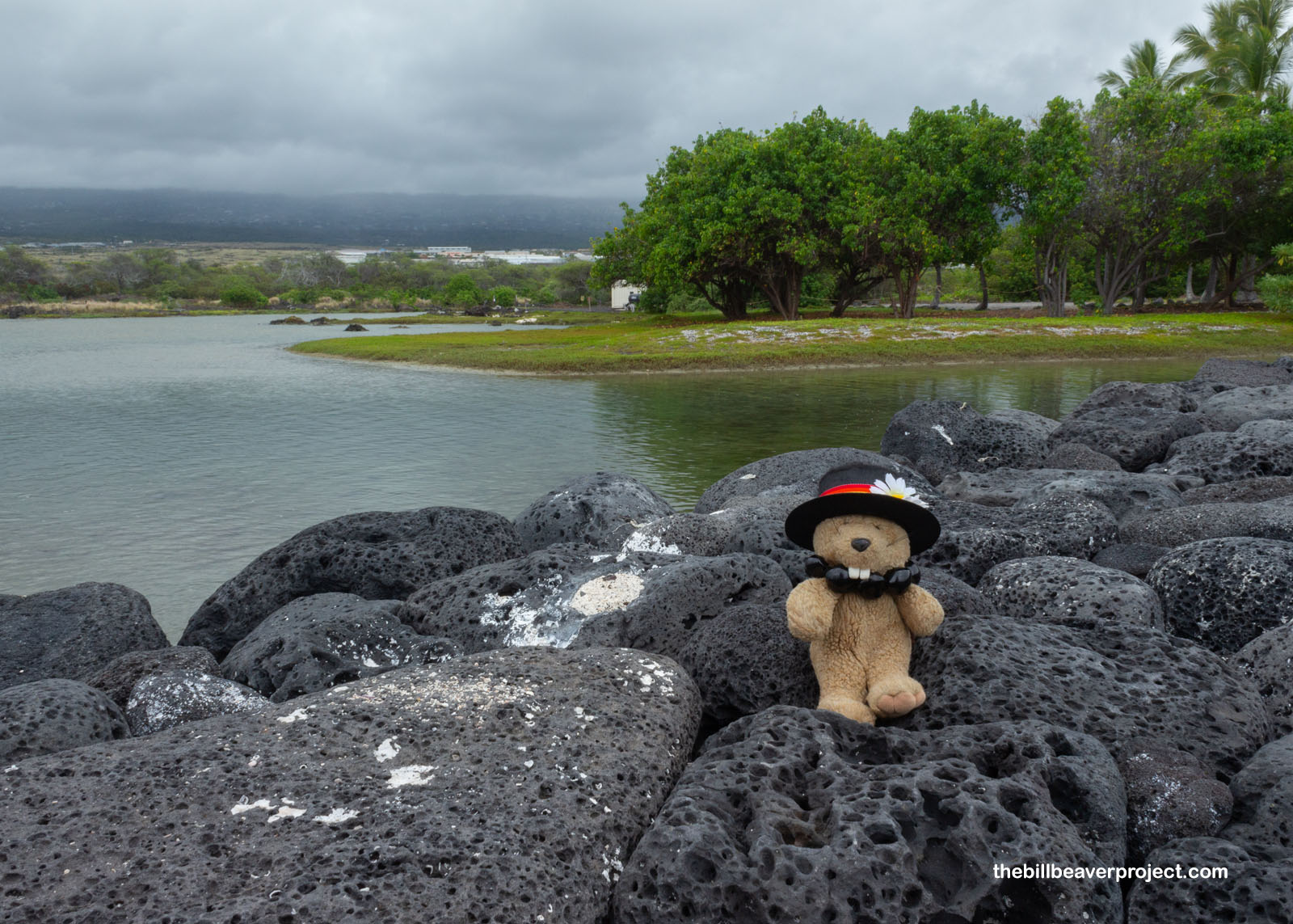
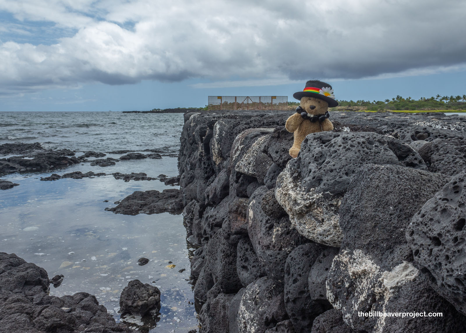
And then I reached my final destination on the Big Island: Kaloko fish pond. This one was much bigger than ʻAimakapā and even more ingenious! This one made use of an enormous wall (kuapä) to contain the fish, built ingeniously to make full use of both the lava rock’s shape to hold it together and its porousness to absorb the force of the waves from the ocean! A sluice gate (maraca) allowed water to enter the pond while keeping the fish trapped. Today, this pond is an ideal habitat for endangered birds like the Hawaiian stilt and Hawaiian coot!
 |
 |
After keeping this pond intact for hundreds of years, folks of the 1950s decided the dry stacking wasn’t enough and added concrete. Doing so took away all the force-breaking power of the lava rock, and storms destroyed the kuapä shortly thereafter. Today, the National Park Service is rebuilding the kuapä with guidance from elders who lived here before it was destroyed. Their goal is to make it an active fish pond once again! I had a chance to marvel at it: how wild the ocean was beyond, and how calm the wall made the pond. Indeed, Hawaiʻi was truly the place where folks mastered aquaculture!
 |
From there, I hustled back down the trail, where the tide was already starting to creep up, and headed back to the airport to catch my flight to the next island: Maui! I was surprised at how quickly it came into view, since the flight was only half an hour. The plane passed over Molokini Crater and loads of farm land, passing my destination for tomorrow: Haleakalā National Park before landing in Kahului. I grabbed a bite of seafood chow mein, and checked into the next AirBNB to rest up for a major trek into the heart of another ancient volcano!
Aloha ahiahi!

Previous Day |
Total Ground Covered: 357.2 mi (574.9 km) |
Next Day |