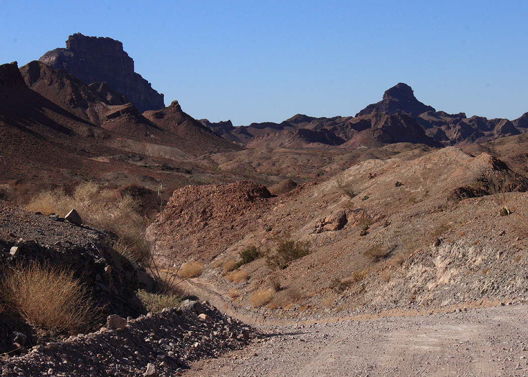
I saw Danielle off on her way to the airport this morning, having said “Sorry” many times because our quest for the starfish was again thwarted! Luckily, her spirits had been raised by the koalas, elephants and especially PANDAS at the San Diego Zoo, so I think she returned to the Land of Beavers in a good mood, probably because she no longer had to deal with California traffic! Since I was already in San Diego, I decided to carpe the diem and visit the 15 historical landmarks of Imperial County to the east! I just had to be back to Amtrak at 9:05, so the clock was ticking. Tick tock, tick tock, tick tock, GO!
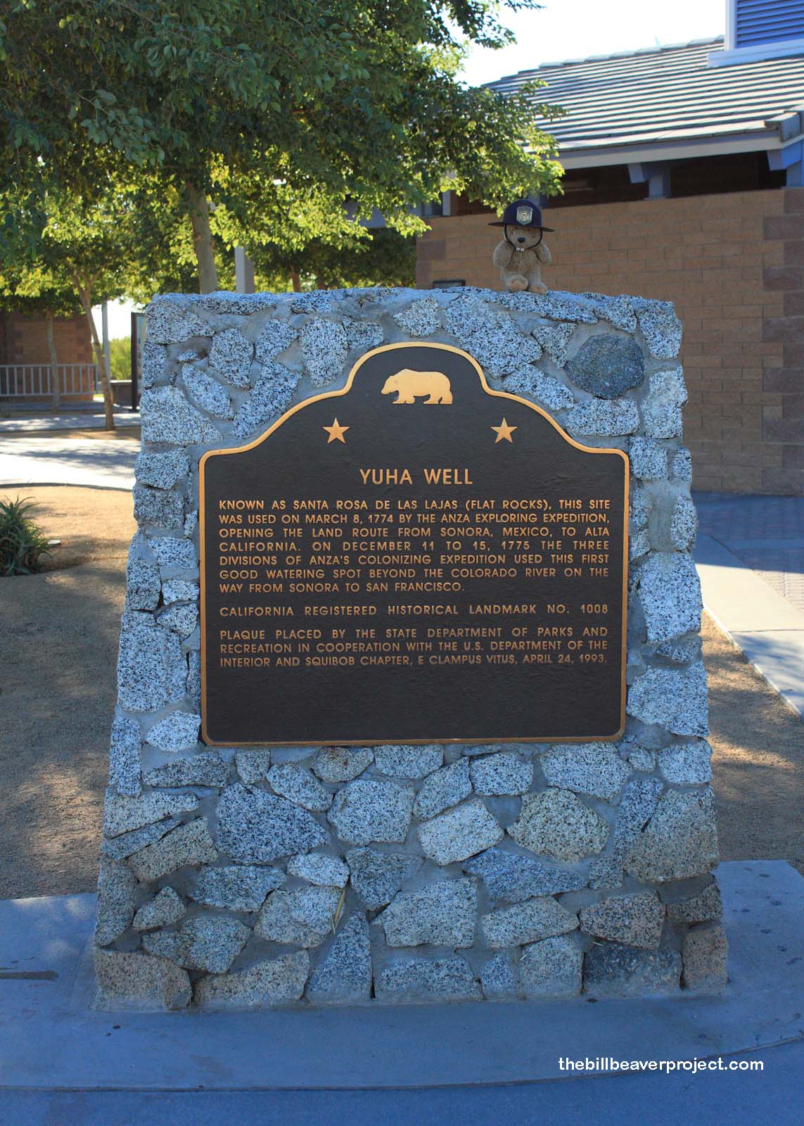 |
My main objective, apart from seeing all the landmarks, was to survive Picacho Road. Of my pre-adventure research, all I remembered were the following lyrics from a song by John Malcolm Penn that begins, “I hate this road, I hate this road,” then elaborates on “18 miles of treachery to reach Picacho Mine.” Not wanting to repeat my experience getting stuck in the sand outside of Barstow in 2011, I wanted to dedicate lots of time and sunlight to this landmark. So, I breezed past Mountain Springs and the Desert View Tower, stopping quickly for a one-way rest stop containing the Yuha Wells (#1008) marker. The Anza expedition took many water breaks here on their way to San Francisco, but unlike them, I could not dally! Onward to El Centro!
I thought the next landmark would be much easier to find! Fort Romualdo Pacheco (#944) was once the only Mexican fort in Alta California. It was destroyed by the Kumeyaay tribe (probably for good reason) and it looked like the same thing happened to the marker, which was said to lie on the west bank of New River on Worthington Road. Not realizing that there are many west banks of the New River, I spent about 40 minutes circling around the wrong one before remembering Picacho Road and fleeing the scene! I’ll try again later!
 |
 |
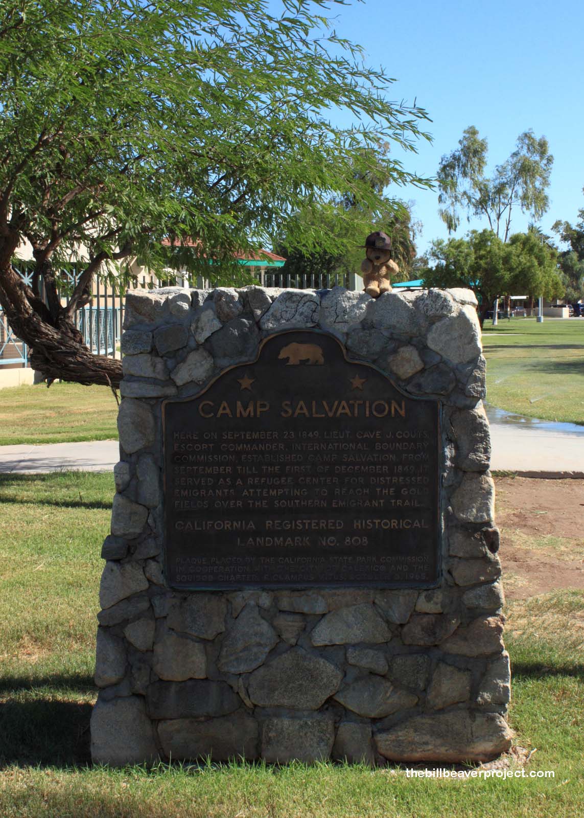
From there, I zigged and I zagged eastward, stopping first at the Mexican border, where Camp Salvation (#808) used to stand. Camp Salvation was once a rest stop for weary miners-to-be headed for the gold fields at the end of the Southern Emigrant Trail. Now, it sits within spitting distance of one of the most anti-emigrant borders in the world!
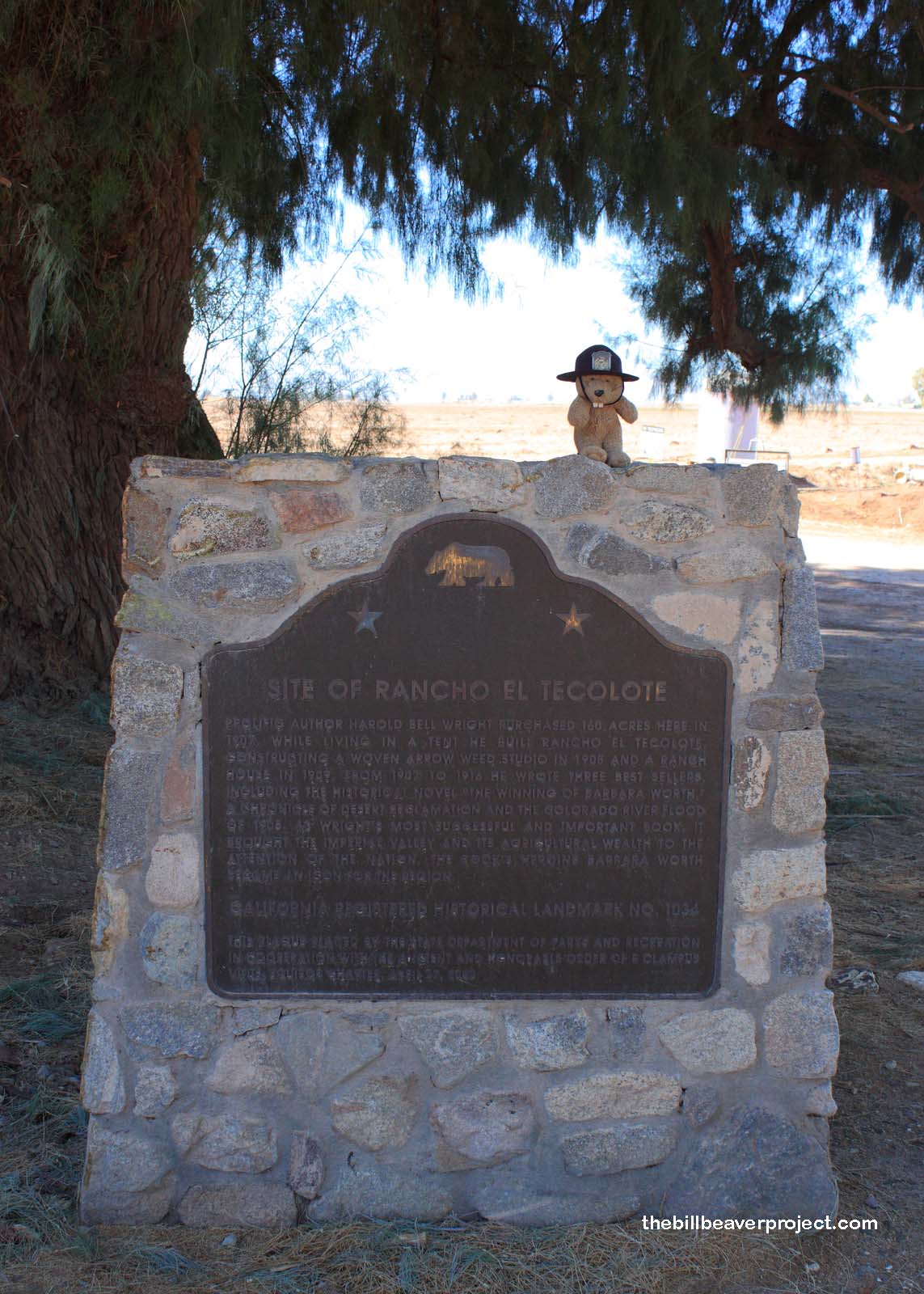
I felt kind of uncomfortable here, so I headed back up north to see the site of the Tecolote Rancho (#1034), where famed author Harold Bell Wright penned The Winning of Barbara Worth, a tale of desert reclamation, as well as the great Colorado River flood of 1905! I guess I’ll probably have to sit down and read it, like Ramona, but first, the eastward push to Picacho!
 |
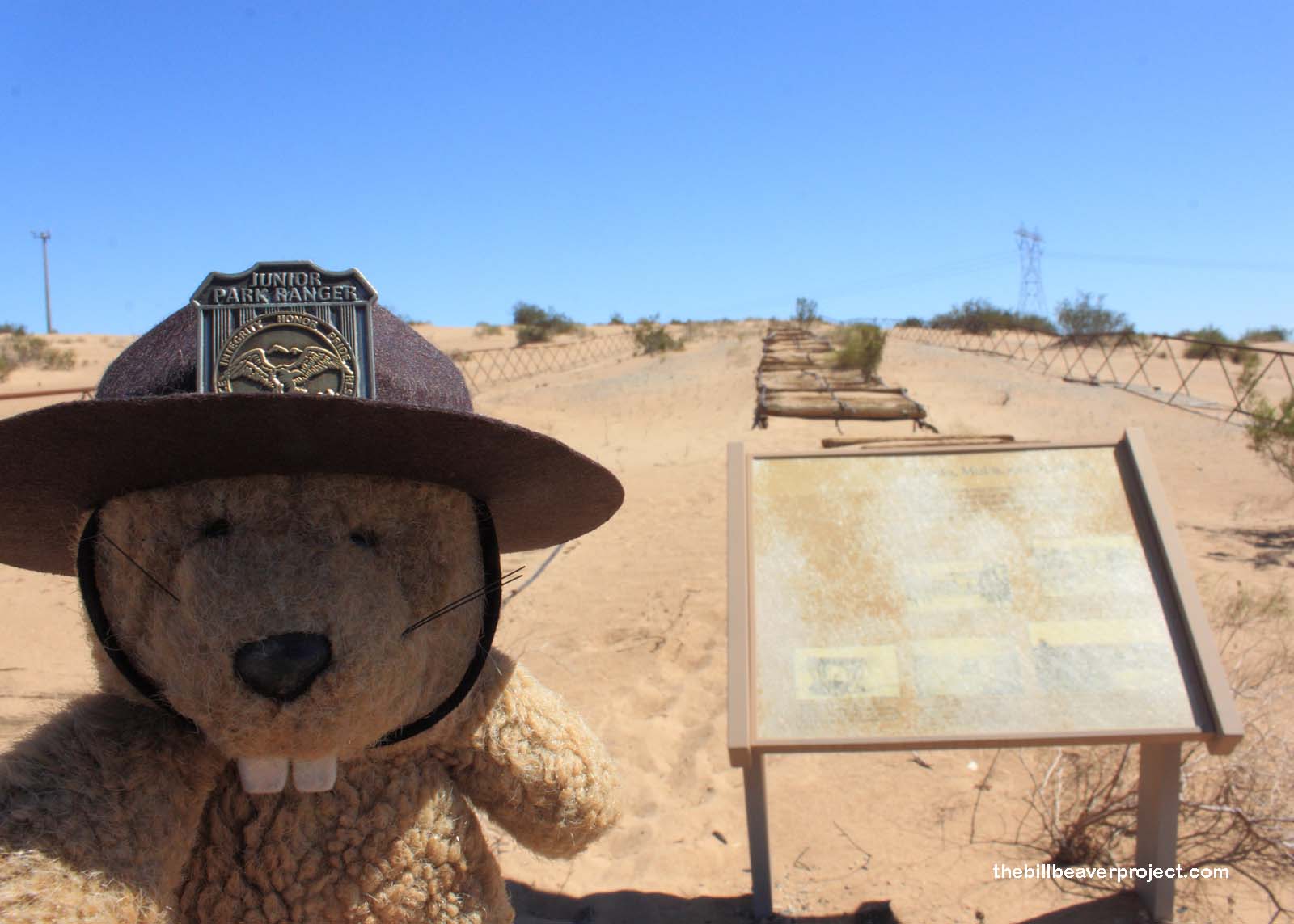 |
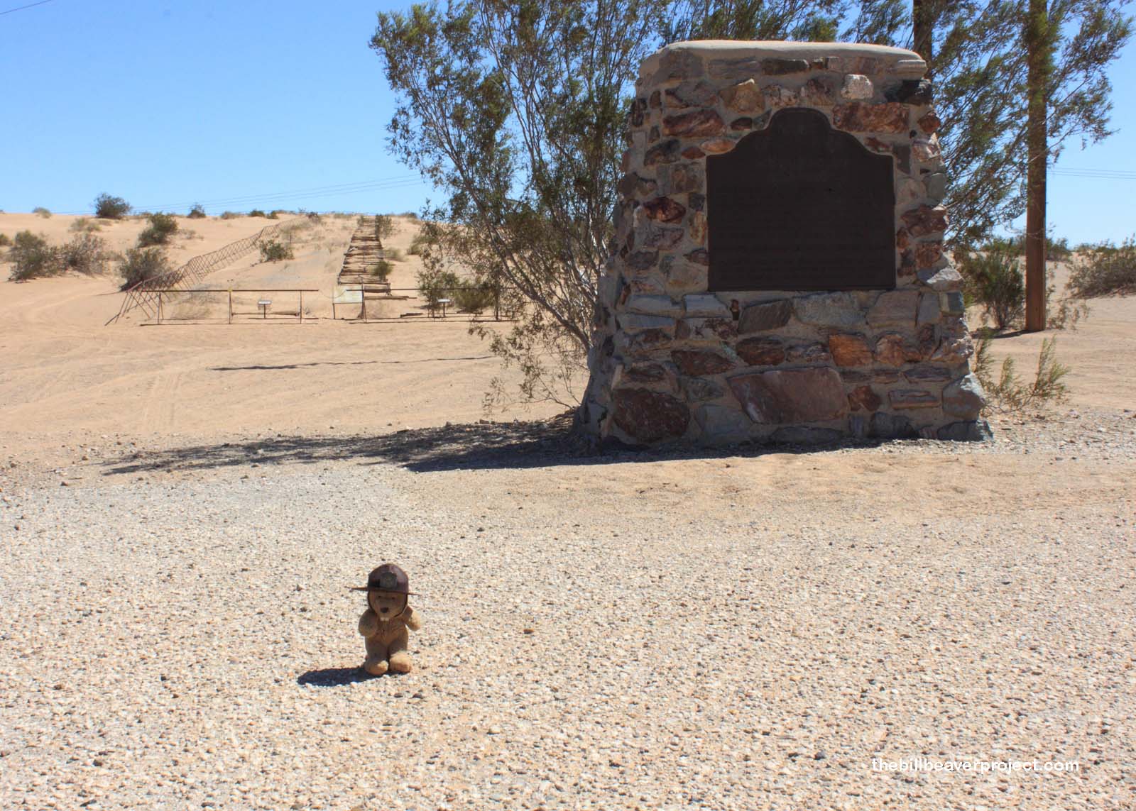
As it neared high noon, I pulled within sight of the Algodones Sand Dunes, massive and daunting. I was glad to be on the freeway, because back in 1916, the only way to cross these pieces of Sahara was by Plank Road (#845)! This was put in place because the city of San Diego badly wanted to be the hub of southern California’s roads, and to heck with that punk upstart, Los Angeles! So, workers installed 6.5 miles of planks across the ever-shifting dunes! Horse-drawn wagons would traverse it, and mule-drawn scrapers would clean it! This must have been quite the sight back in the day! However, as the sands shifted in the wind, an old refrain came into my head, and I continued on!
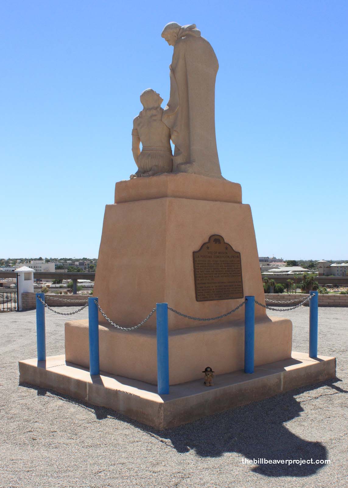 |
I skipped some more landmarks for later, then blazed across state lines to use the Wi-Fi at a local Starbucks and make sure I knew where I was going. As I passed into Arizona, I could almost hear the THUNK as gas prices dropped 60 cents per gallon! Finishing my research, I hopped back into California, where I hit yet another stumbling block: the Mission La Purísima Concepción (#350), not to be confused with the Mission La Purísima Concepción in Lompoc. This Mission La Purísima was one of two doomed missions near the Arizona border. The local Quechans had heard good things about the Spanish and received bad things, so they led a revolt that left both missions in ruins! Consequently, this whole area was full of vague directions!
 |
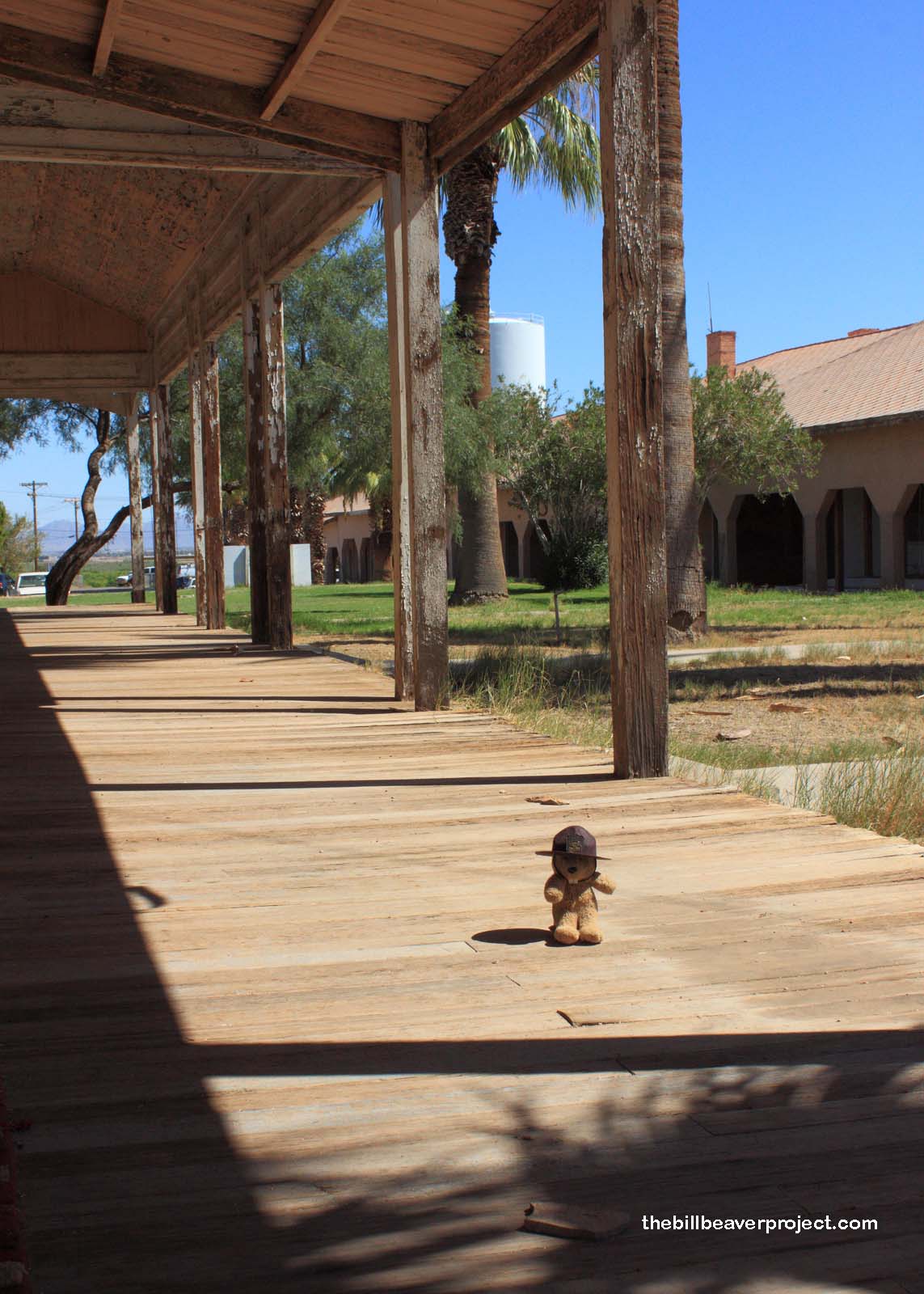 |
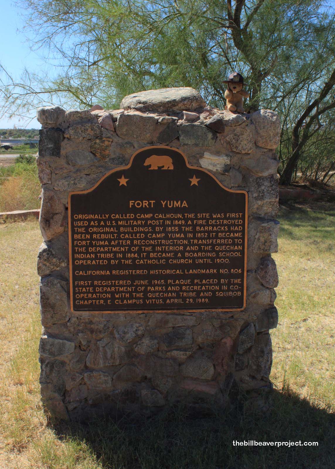
The guide had told me that the Mission was on Picacho Road, not the off-shoot leading up onto a hill, and it even went so far as to say that Fort Yuma (#806) was “on the bank of the Colorado River!” That’s a mighty big river with a very long bank! I wove back and forth across the one-lane bridge, found false plaques and dead ends before asking directions of a nice man at a historical park nearby. I had just come from Fort Yuma, and the plaque was over by the Fish and Wildlife office! I ran back and saw this neat landmark, which had been built to keep an eye on the Mexican border and any future Quechan uprisings!
 |
Then, I was back in the car, skirting the California-Arizona border to Mission San Pedro y San Pablo de Bicuñer (#921), the second mission destroyed during the Quechan uprising! Only then did I realize that the historical park where I’d gotten directions was the famous Yuma Territorial Prison! I missed it! Curses! But there was nothing I could do but drive on. This whole area was full of date farms (unlike OKCupid, these date farms were offline and all-natural)! In fact once I saw the mission plaque, I had to stop by Imperial Date Gardens and order a date shake! It was pretty darn tasty and just what I needed because my next stop just so happened to be Picacho Mines (#193)!
 |
These hard-rock quarry mines are actually still operational after 138 years, though they’ve had their share of mishaps over the years, including mill accidents, low ore quality, and a disruption of transport thanks to the construction of the Laguna Dam. With this in mind, I floored it onto the washboard dirt road, “18 miles of treachery” on endless repeat! I hit a few sand bars. I took a few turns too sharply. And then I was there! “Wait a second,” I thought. “What happened to those 18 miles of treachery?”
I guess since this is still a functional mine, there’s a reason to maintain this road, which wasn’t nearly as scary as Palm Springs was or San Gregorio will be. Hmm… Well, that was anticlimactic. However, the stark beauty of Picacho Road made it Barbara Worthwhile! That being said, I didn’t have time to marvel; I still had to go see all the landmarks I’d skipped, and I was an hour behind schedule! Onward!
 |
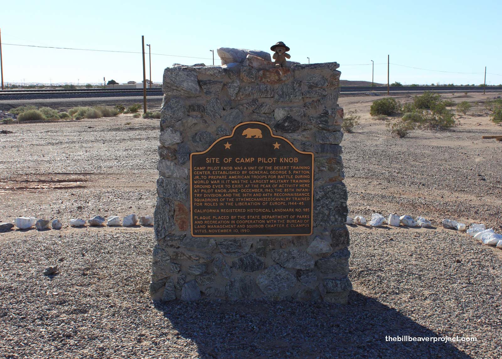 |
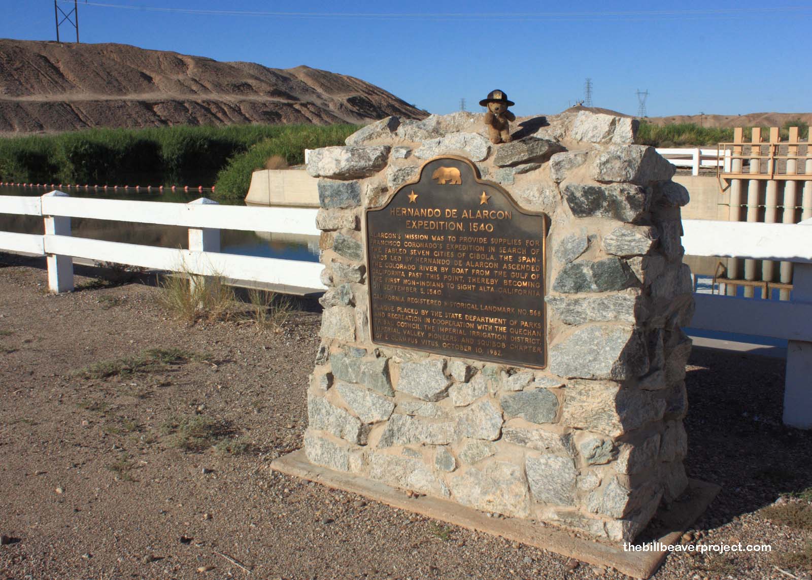
I very quickly stopped to see the Hernando de Alarcón Expedition (#568), where Hernando de Alarcón’s party, instead of helping Francisco Coronado discover the fabled land of Cibola, became the first non-natives to set foot in Alta California in 1540! There was also Camp Pilot Knob (#985), one of General George S. Patton’s World War II desert training areas, but then, I ended up getting lost looking for Charley’s World of Lost Art (#939)! Fitting, no?
 |
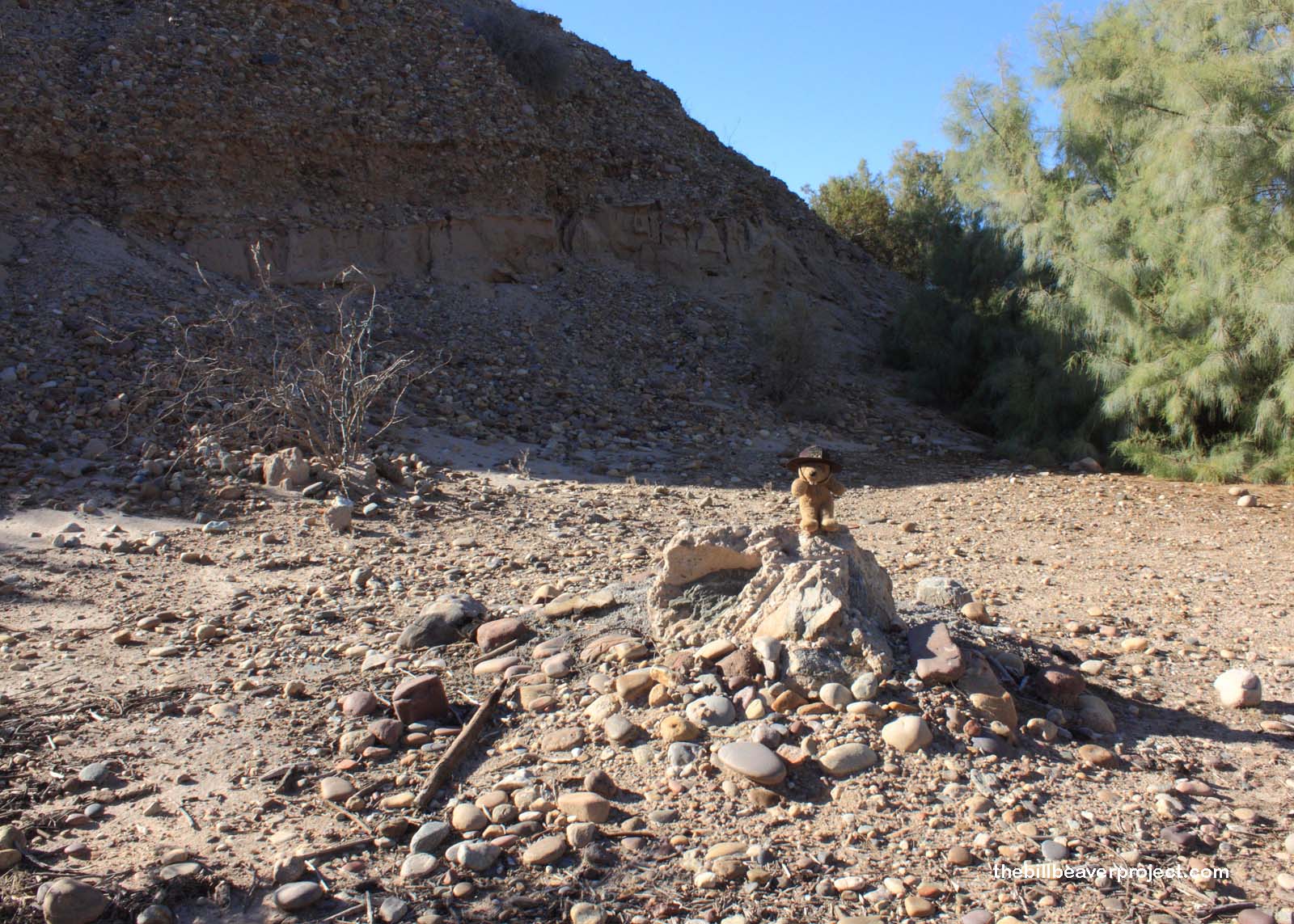 |
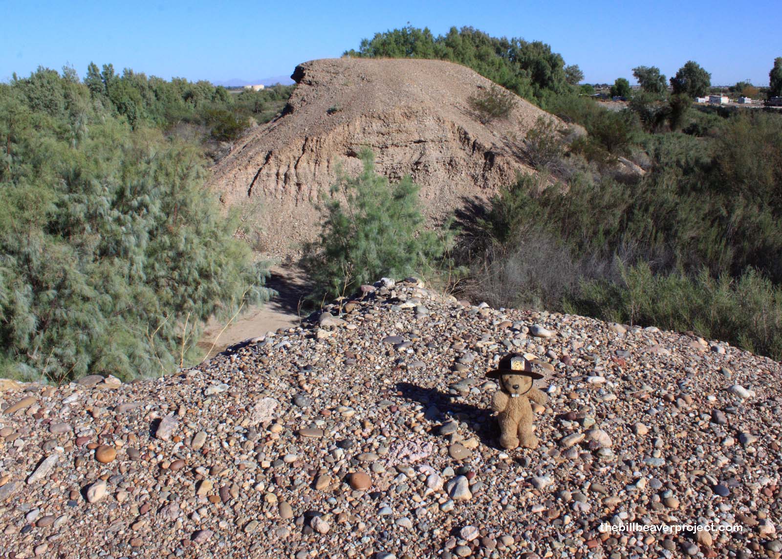
This was where the famous Driftwood Charley built two acres of sculptures from found materials! Unfortunately, this site has been destroyed, and since it’s so close to the Mexican border that you can smell the tacos, it’s not considered very safe. Did that stop me? No! Armed with my Five Deadly Arts, I headed into the bush to find the remnants of Charley’s Lost World. Was it worth it? No! There was nothing! Nothing, I tell you! And I ended up lost in Charley’s world of art! I was able to backtrack, though the taco smell nearly overpowered my senses, but when I finally returned to the road, it was getting late! I had four hours to see three more landmarks and get back to Amtrak, 167 miles to the west!
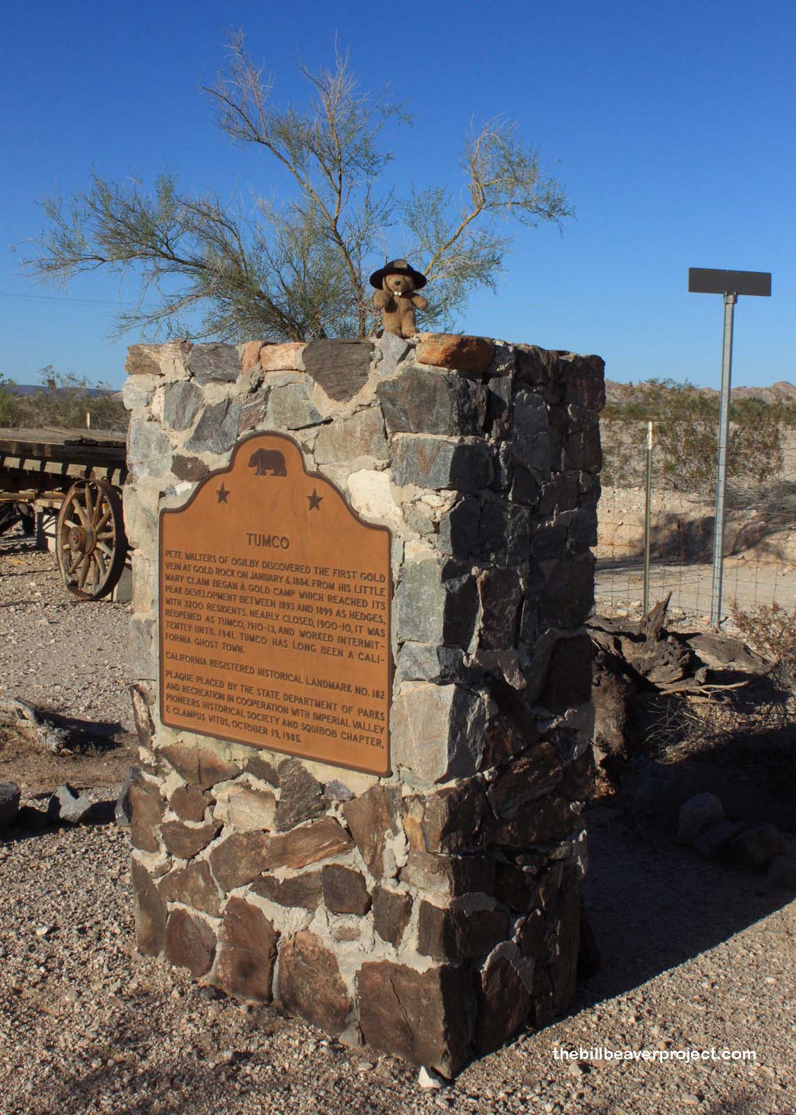 |
So I hustled to the site of the Tumco Mines (#182) in an RV park, and…
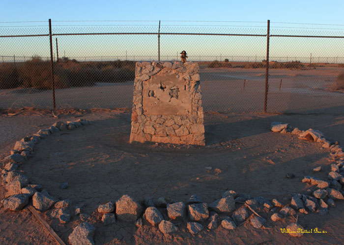 |
I hustled back to Fort Romualdo Pacheco, which turned out to have been on a different west bank of the New River! By then, the sun was setting. It was close to 6:30, and I still had a 2 landmarks, 2 hours of driving, and 2 gallons of gas to get there!
 |
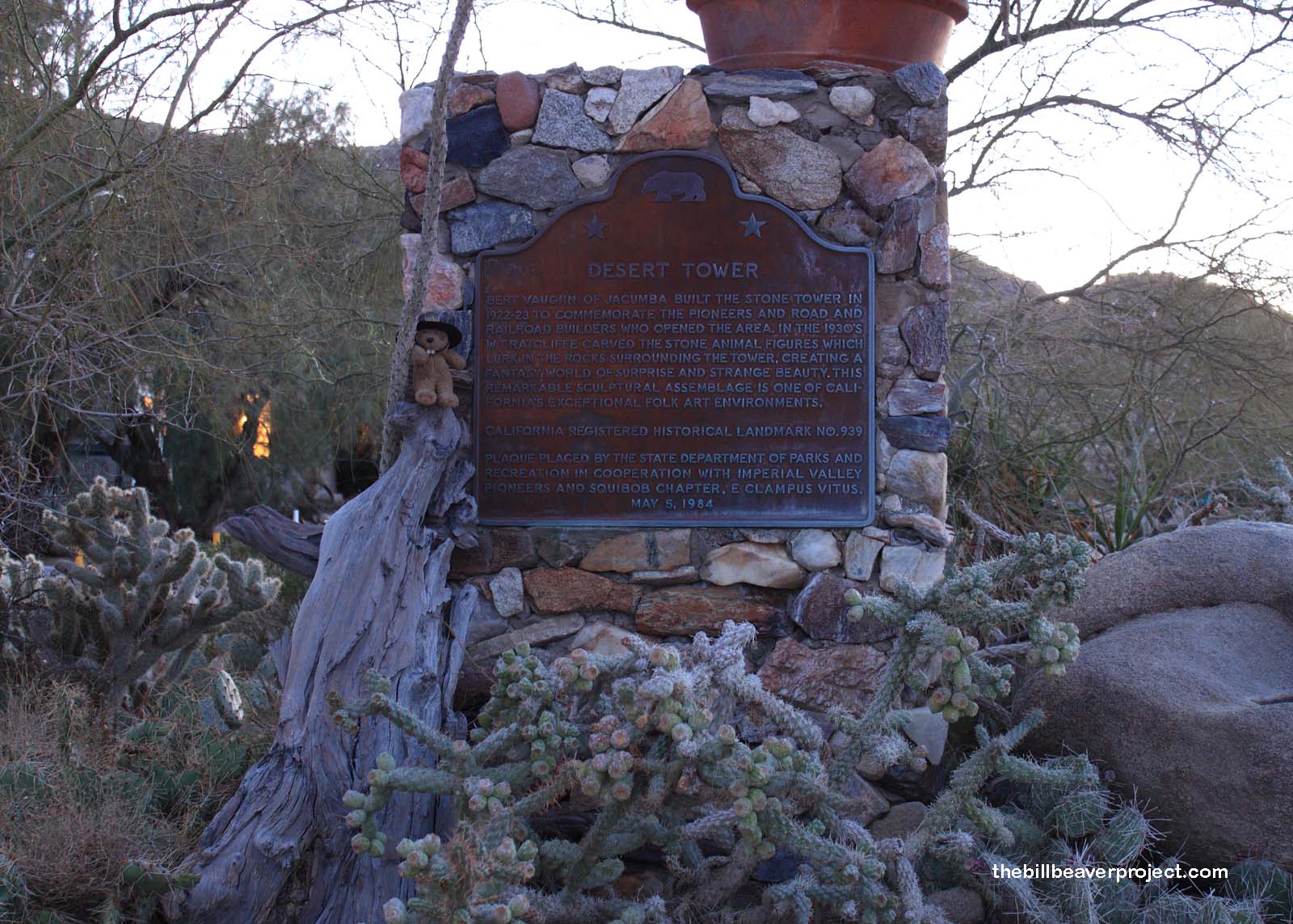 |
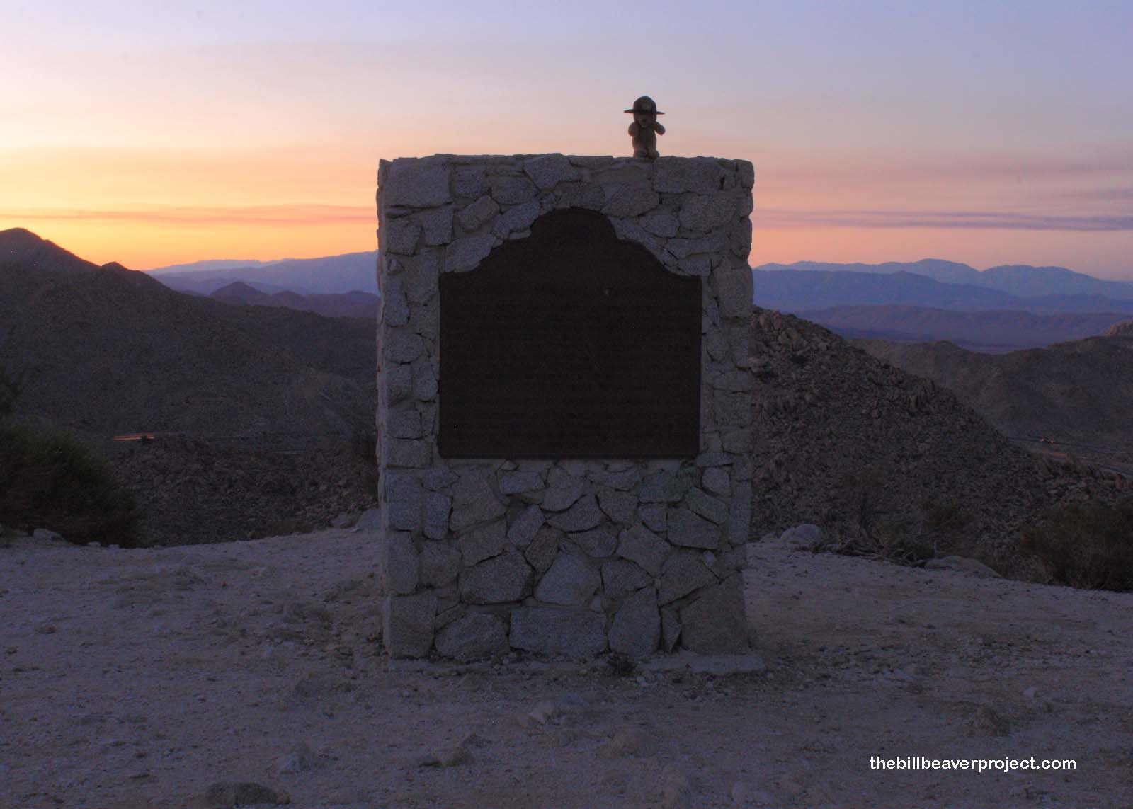
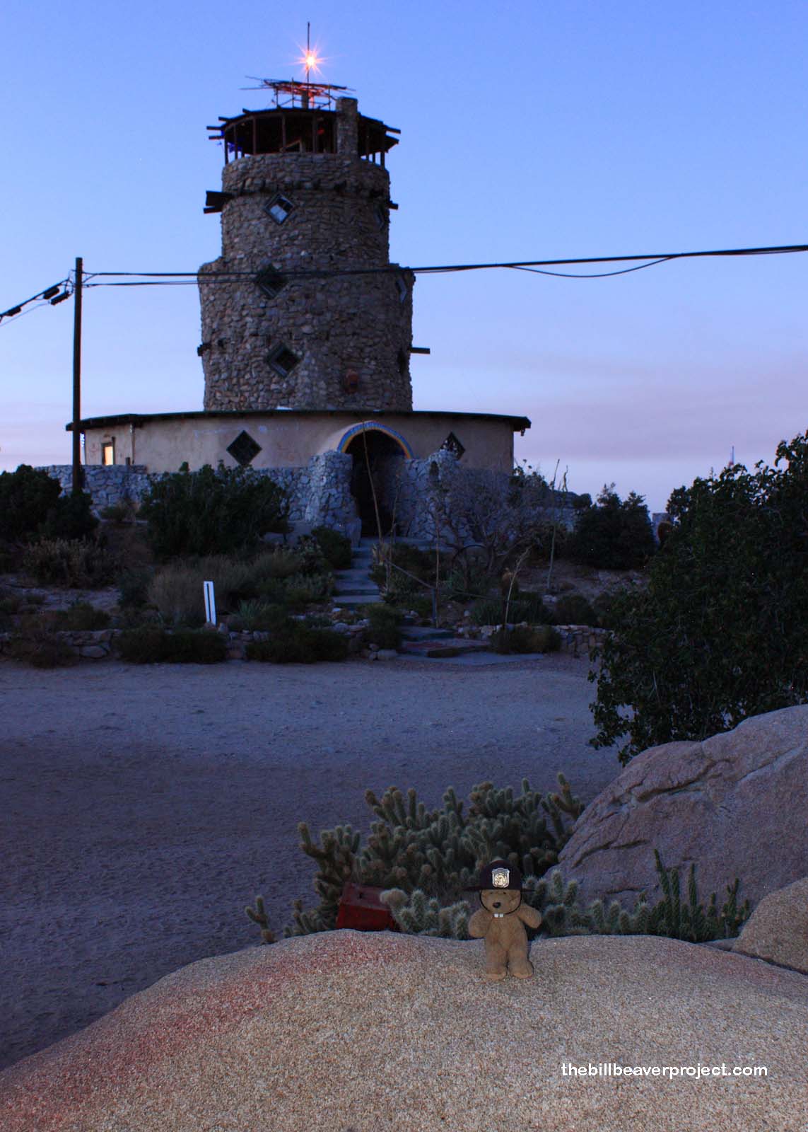
Luckily, both Mountain Springs Station (#194) and the Desert View Tower (#939-10) were right next to each other! Unluckily, I had to contend with three angry dogs! I had just set up my tripod when they came barking out of the shadows! I had to clamber up onto the Desert Tower plaque, which was luckily surrounded by cacti! Three things went through my mind at that moment: 1) I hope I don’t have to use my Deadly Arts to get out of this, 2) I hope I don’t miss the train, and 3) I sure am glad Ida Sivas isn’t here to see this because I’ll never hear the end of it! Fortunately, the hounds belonged to the residents, and they were called off after five minutes or so. Still, I didn’t want to take any more chances. I got really nervous waiting for the 30-second shutter speed, believe you me!
 |
By now, it was dark, and my fuel light was on! It was 7:15, and I had over an hour to get back to San Diego and transfer to Amtrak! And, Mountain Springs Station marked the start of pretty mountainous terrain indeed! It was a tense drive. By the time I coasted into the lot, I was running on fumes, and it was 8:30! I raced to the trolley station! 8:35… 8:40… 8:45…
The trolley came! It passed three stops to the Santa Fe Station! I jumped out and dodged among legs to the Amtrak to find the train… sitting there while the conductors shot the breeze. Fifteen minutes behind schedule, it left the station, beaver aboard. It took about two hours to realize that this impromptu adventure had been… a SUCCESS!
Choo choo!

