
 |
| Landmark #203 | Orange County | Visited: October 21, 2012 | Plaque? YES! 🙂 |
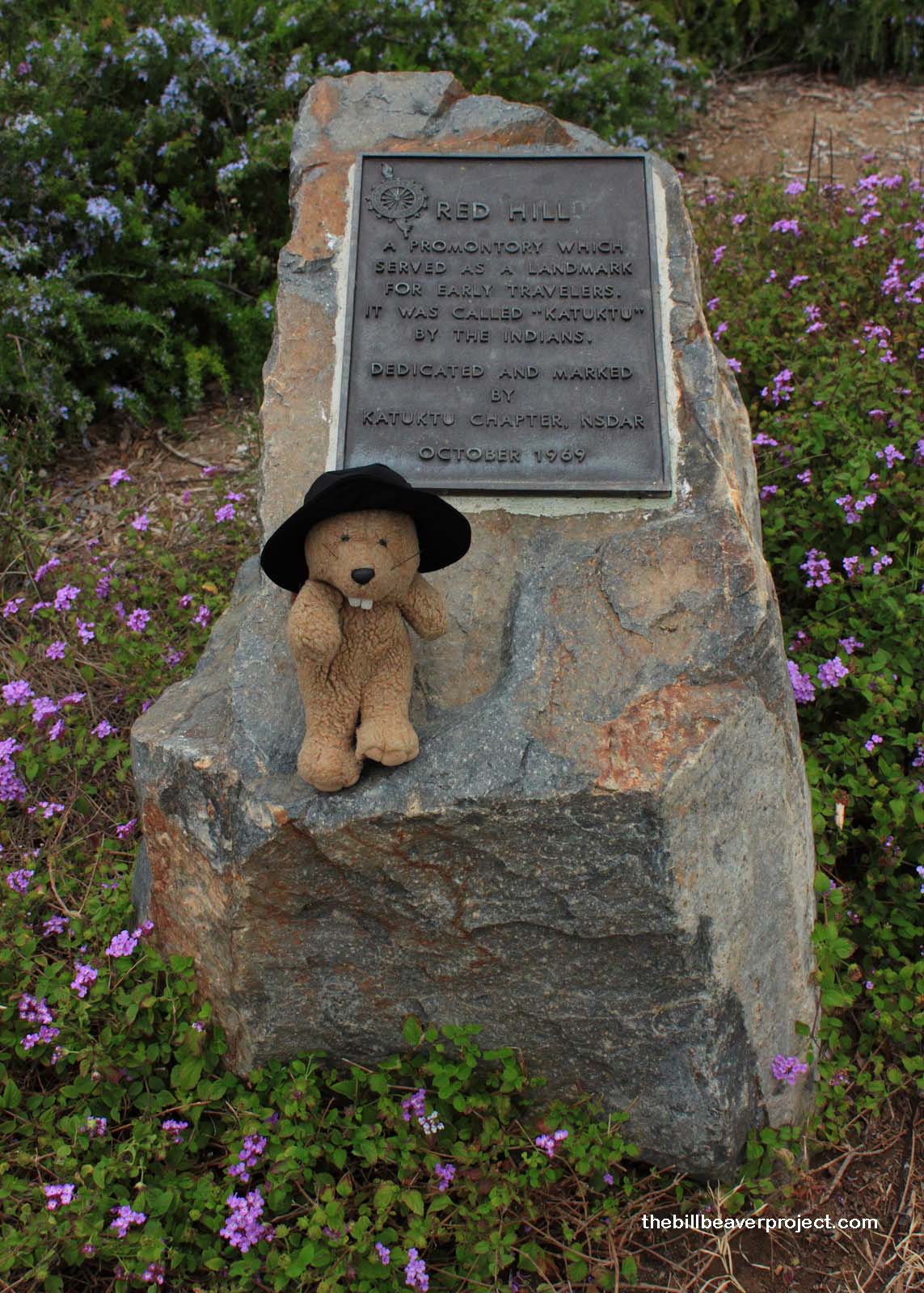
| What is it? | A small plaque in a school parking lot! |
| What makes it historical? | THE GUIDE SAYS: In early descriptions it was known as Cerrito de las Ranas, meaning the Hill of the Frogs. In the 1890s this hill became the scene of mining excitement. Its soil composition, very red in color, had caused early American settlers to name it Red Hill.
OTHER TIDBITS: Local tribes called this rock Katuktu, which meant “place of refuge,” as it was widely believed that many tribes had gathered here to escape a giant flood and their fires had turned the hill red! Today, we know that the hill’s red color comes from its cinnabar content, and several attempts were made to mine mercury from it. During the Mexican Rancho Era, it served as a boundary marker separating Rancho Santiago de Santa Ana, Rancho San Joaquin and Rancho Lomas de Santiago! |
| How can I Help the Helpers? | HERE’S HOW:
|
| Where is this place? | LISTED DIRECTIONS: Church of the Covenant Elementary School 11911 Red Hill Road Santa Ana, CA 92705 ANNOTATIONS: From Los Angeles: ~38mi (62km) — 0.7hrs |
| When should I go? | Whenever the mood strikes you! |