 Previous Day |
Santa Fe, NM → Taos, NM → Santa Fe, NM 191.0 mi (307.4 km) |
 Next Day |
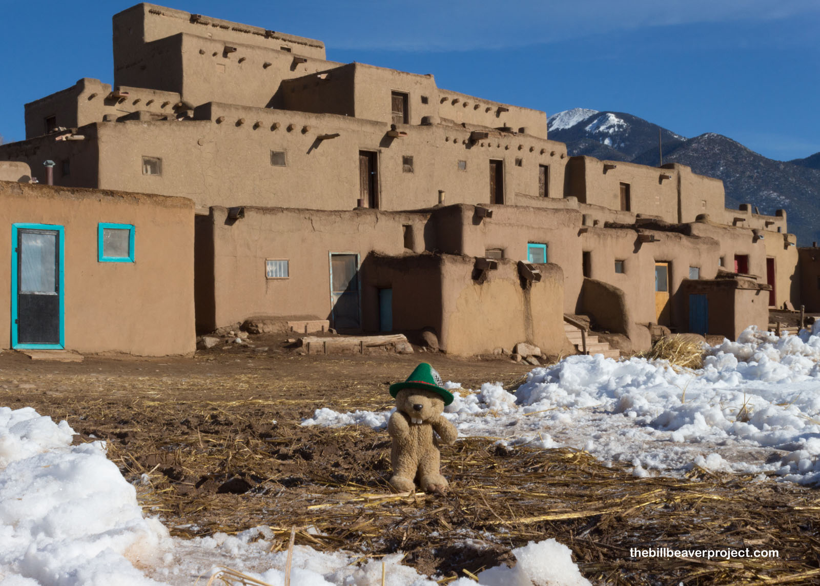
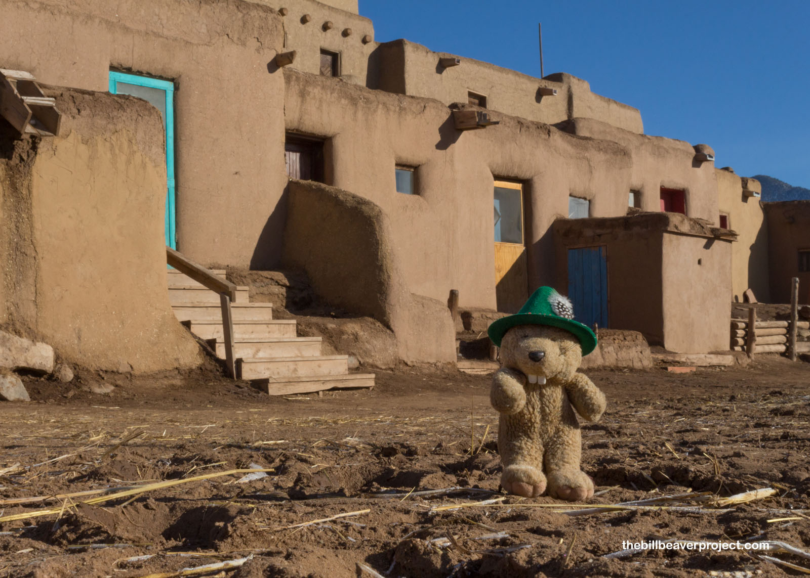
Hello, Pueblo!
This morning, I am northbound from Santa Fe on a whim! A blizzard from a few days earlier has thrown off my original travel plans, so I’m subtracting Capulin Volcano from this trip and adding UNESCO-recognized Taos Pueblo instead!
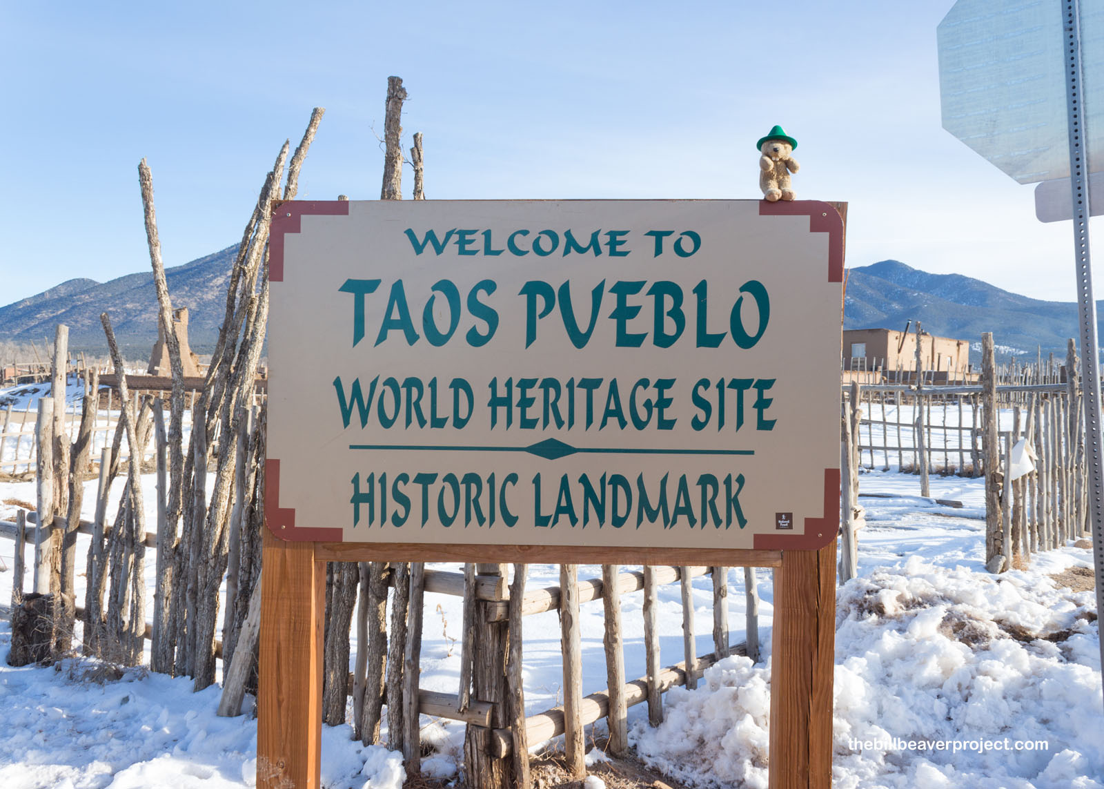 |
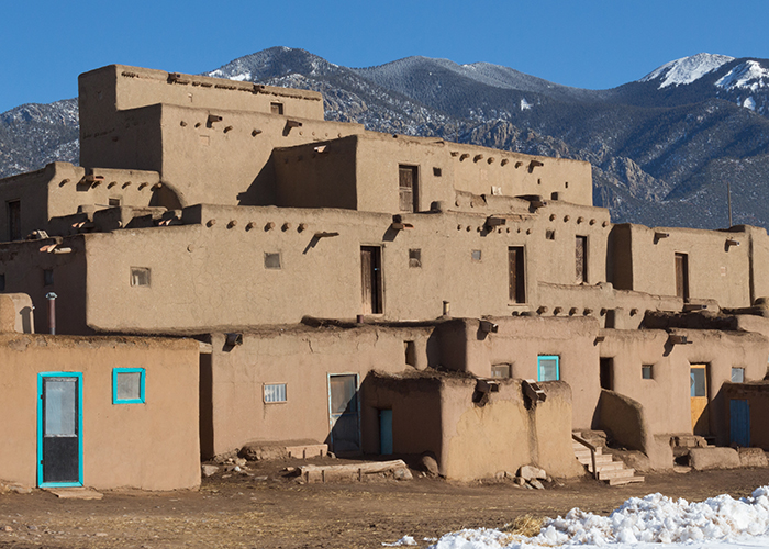
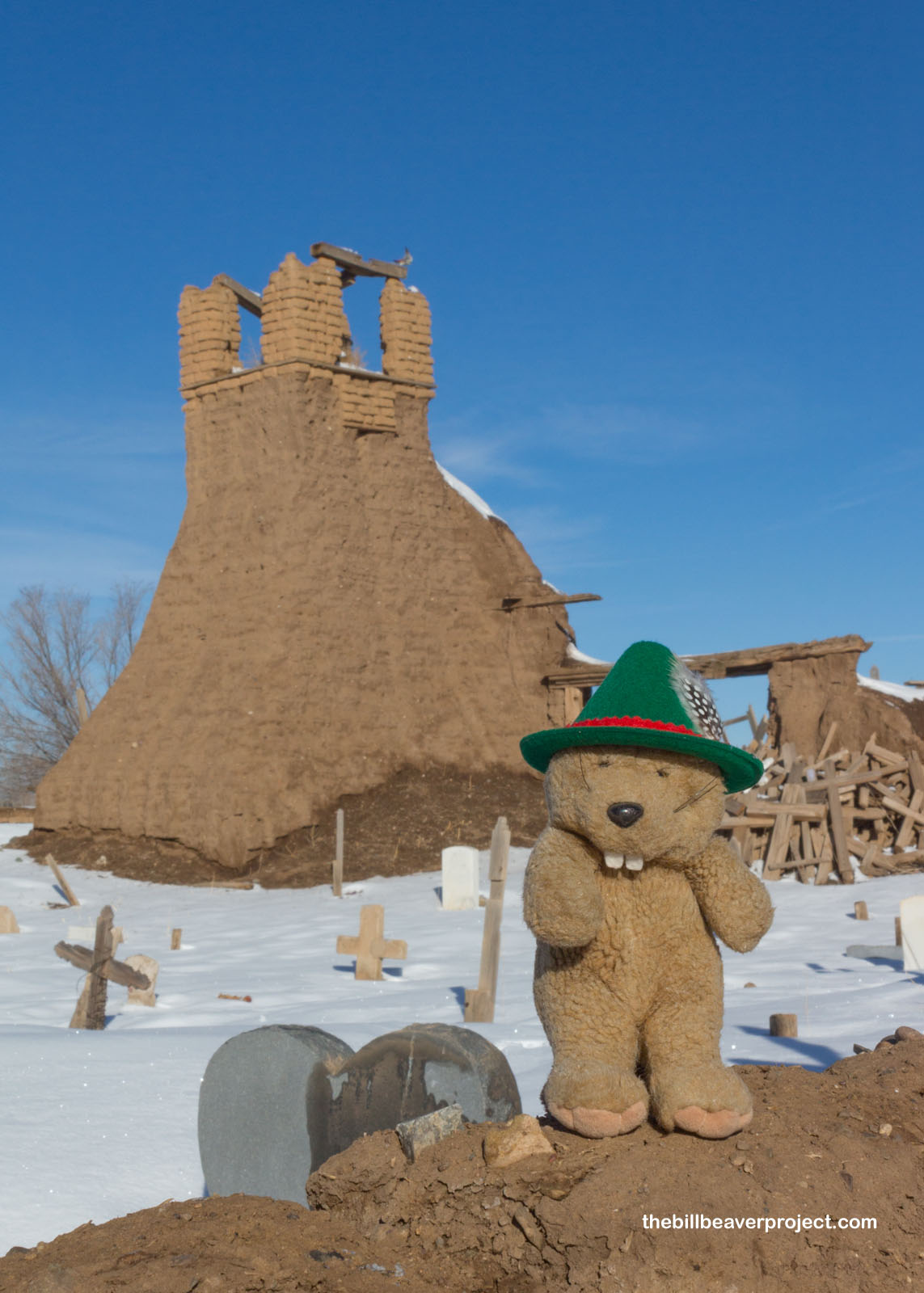
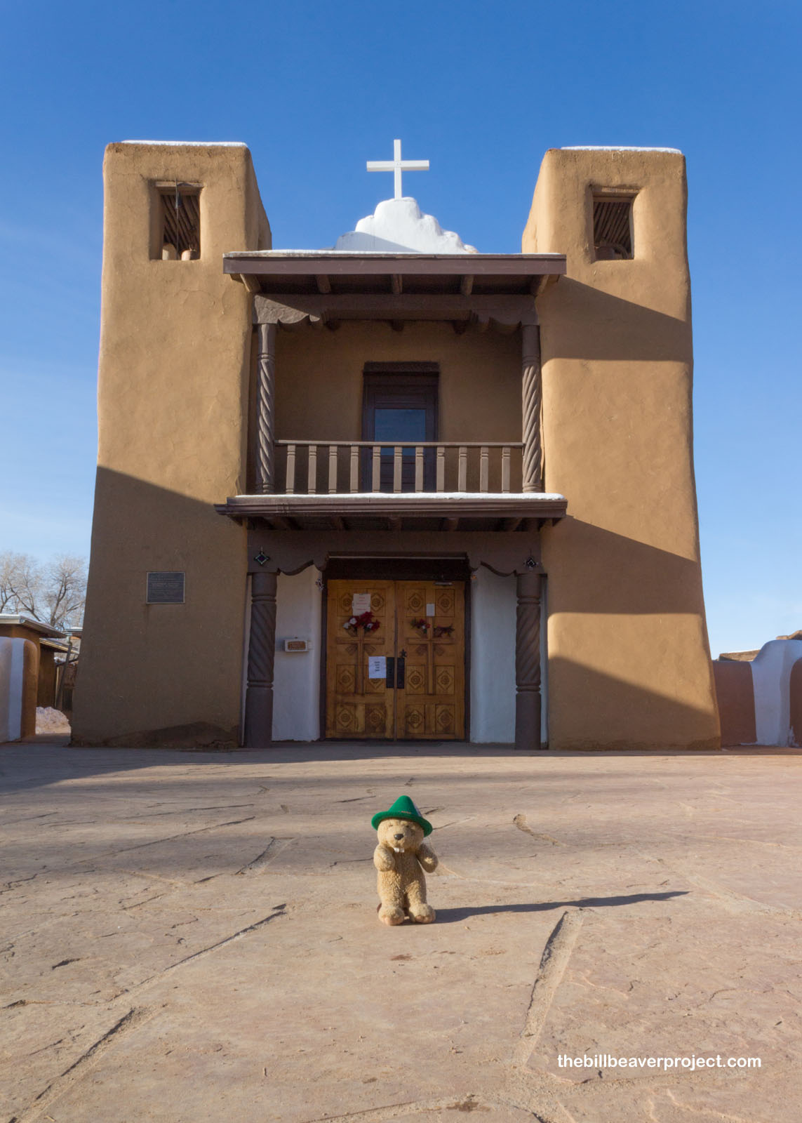
Taos Pueblo is one of the longest continually inhabited civilizations in North America, with estimates that it was built around 1300 AD. One of the reasons for its endurance is that the people have fiercely defended their way of life for centuries. They led the successful Pueblo Revolt against the Spanish in 1680 and a less successful revolt against the US Army in 1847. Their two churches, one ruined and one rebuilt are a testament to this history!
 |
 |
Though many of the inhabitants did convert to Catholicism, many continue to practice ancient customs in deepest secrecy. Most residents speak Tiwa, Spanish, and English, but resources on the Tiwa language and the local religion are also kept under lock and key. In fact, the residents of Taos even won a 50-year court battle giving them exclusive rights of Blue Lake, and today, only members of the tribe are allowed to visit the lake.
 |
 |
The members of Taos Pueblo have hunted in the mountains and grown the Three Sisters in the fields here for centuries, but after being recognized by UNESCO for outstanding world value, the pueblo’s main source of income has become tourism. There are arts, crafts, and baked goods galore around this picturesque site!
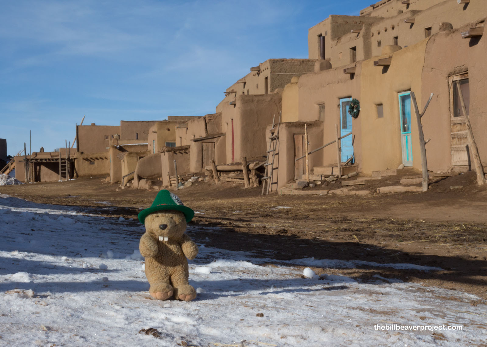 |
The tour of the site was brief, since many of the houses here are still private residences, but it was amazing to see people living largely the way their ancestors have lived for centuries, down to the lack of plumbing and access by ladders, not stairs! When the tour had finished, I turned south and headed to Los Alamos, where a very different sort of secretive place waited for me.
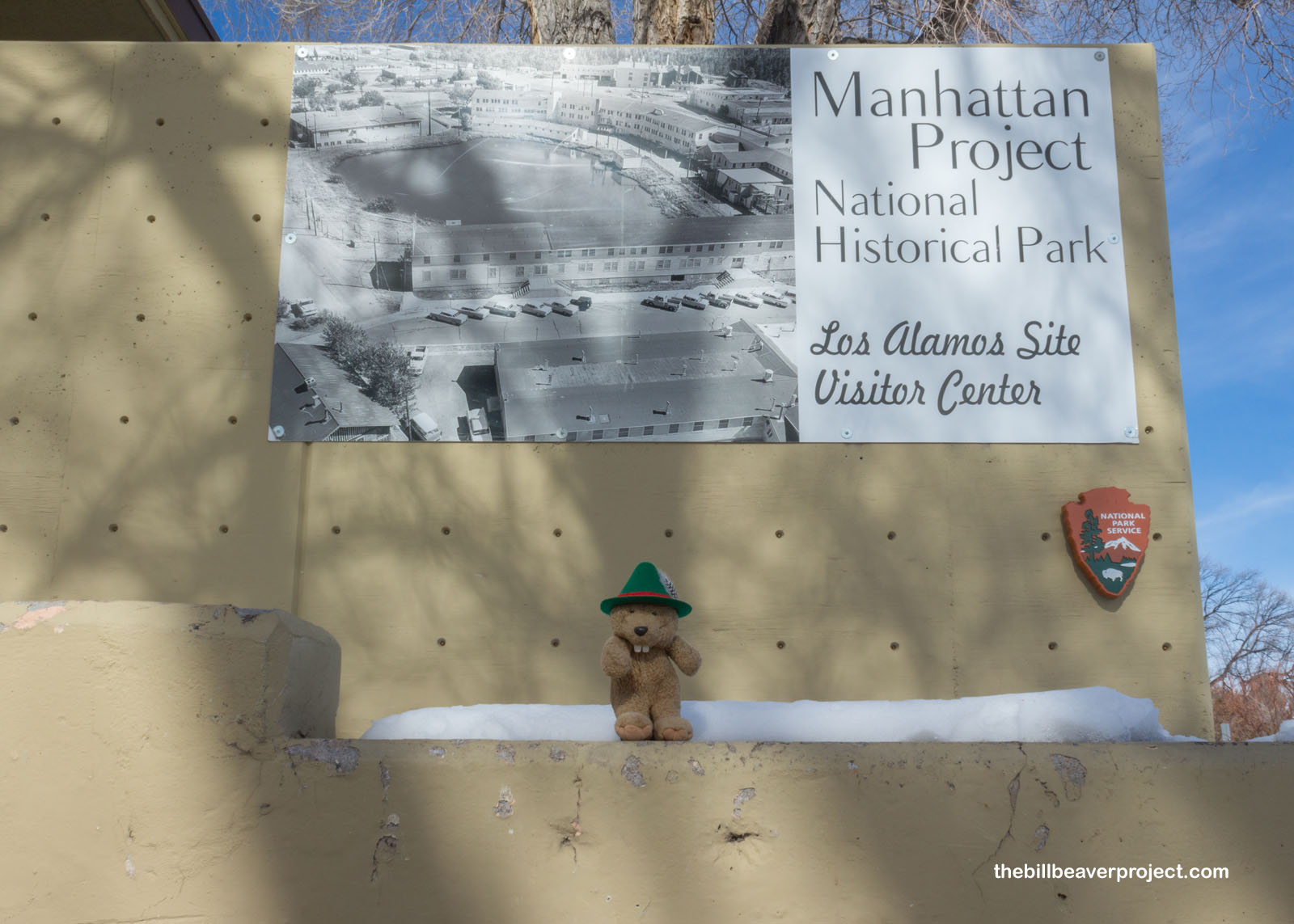 |
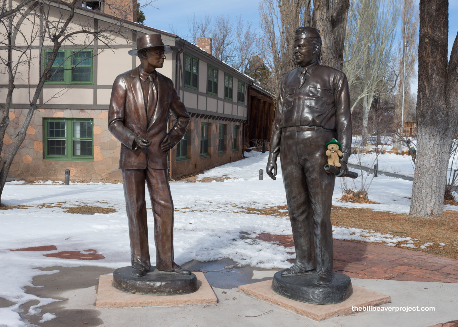
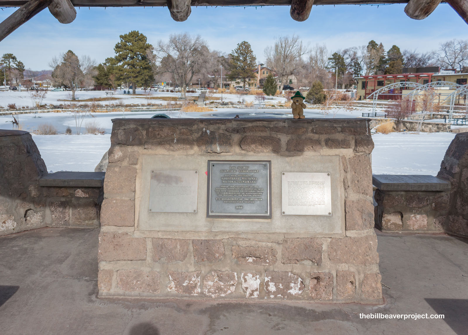
Here, in the mountain city named for cottonwood trees, civilian scientist J. Robert Oppenheimer and Army General Leslie Groves bought up the Los Alamos Ranch School and turned it into Project Y, part of the national Manhattan Project. Their mission was to investigate Albert Einstein’s claims that uranium could be refined into bomb-making material, and their work led to the creation of the first atomic bomb. Today, the Los Alamos National Laboratory is home to Manhattan Project National Historical Park!
 |
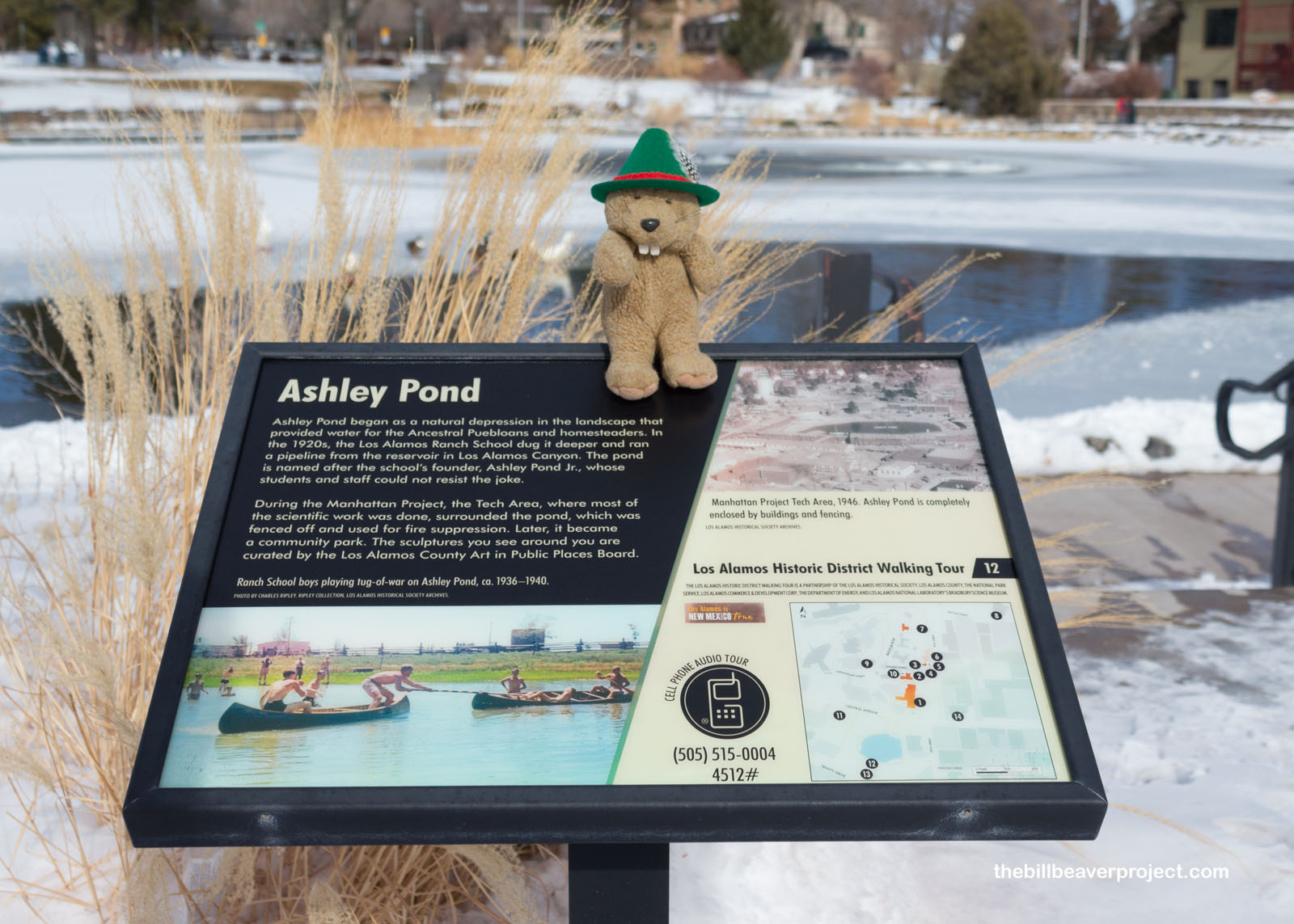
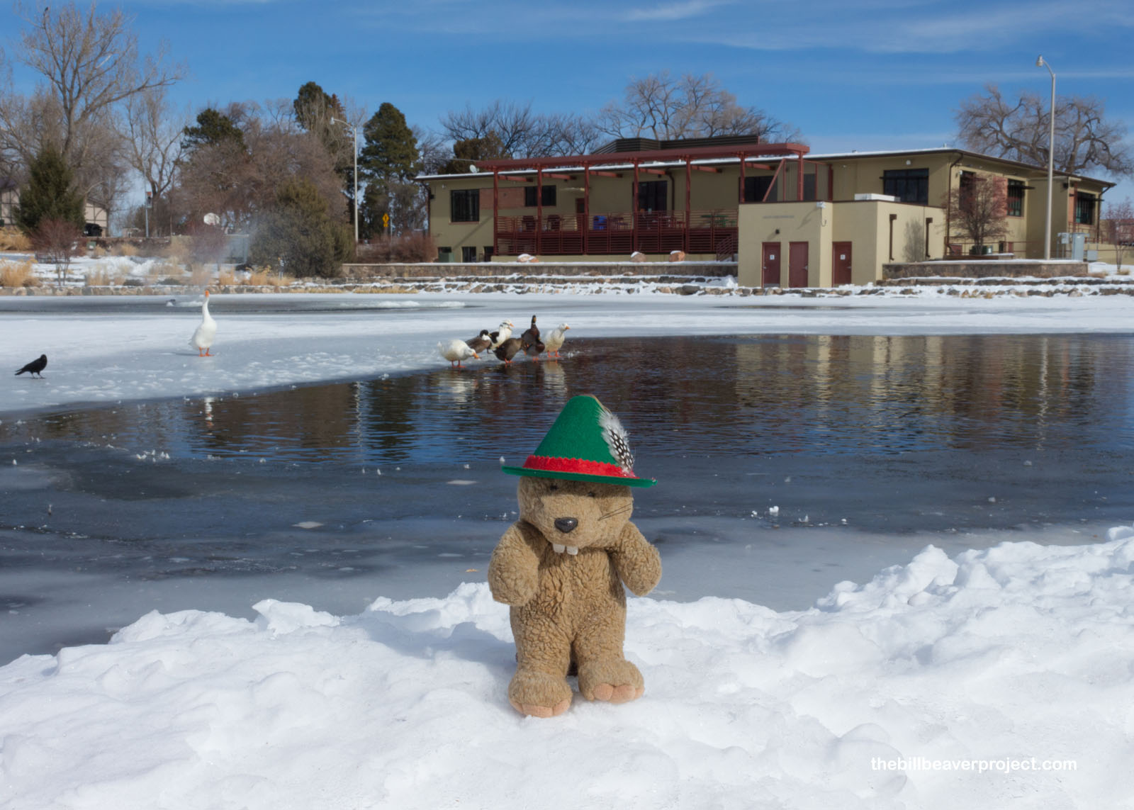
While most of the official park sites are behind Laboratory fences and off limits to the public, there are lots of historic sites to see around the visitor center, like Ashley Pond. Ashley Pond II was a Detroit businessman who created an outdoor school modeled after the Boy Scouts of America. It produced some famous alumni, like William S. Burroughs and Gore Vidal! After the Manhattan Project began, the pond got fenced off and surrounded by tech buildings, its water repurposed for fighting fires!
 |
 |
On the south side of the pond stands a memorial to the Ice House, where ice blocks from the pond kept food cool, and where, during the Manhattan Project, scientists assembled the components of the first atomic device, which they tested at the Trinity Site about 224 miles to the south!
 |
I didn’t have enough daylight to visit the Bradbury Science Museum that my friend, Clifton, recommended, but I did get a peek inside the Laboratory grounds on my way to the next destination, completely by accident! That’s because the only road between Los Alamos and Bandelier (pronounced like “chandelier”) National Monument runs right through the National Laboratory! They’ll let you through with a driver’s license, but don’t turn left or take pictures until you get to Bandelier National Monument!
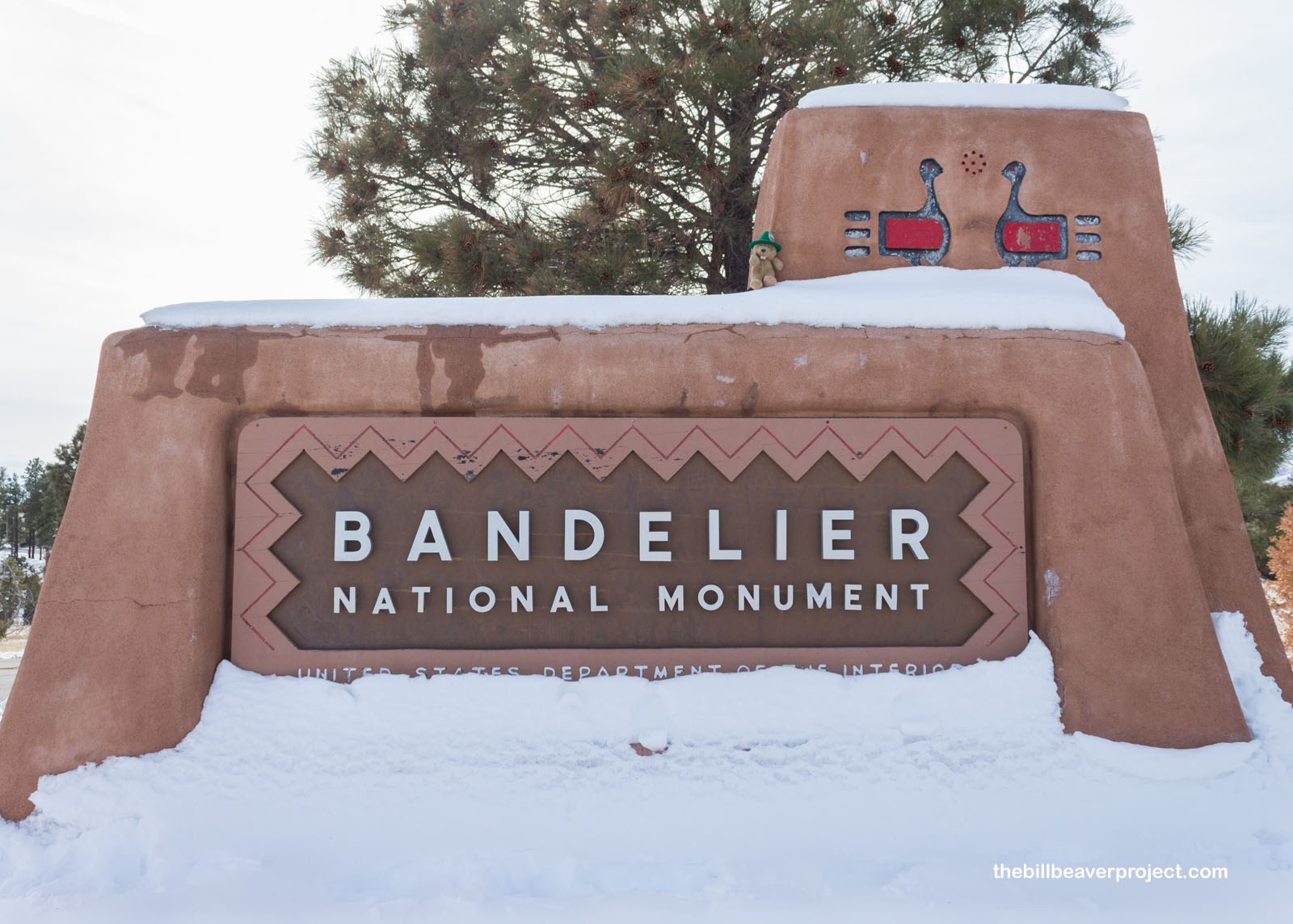 |
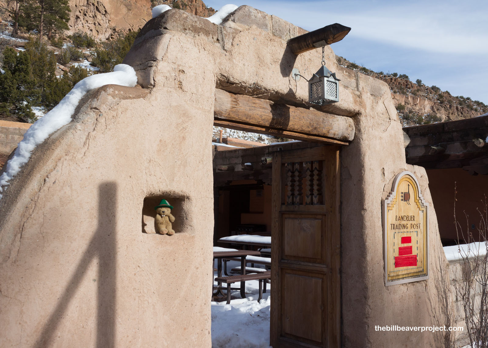
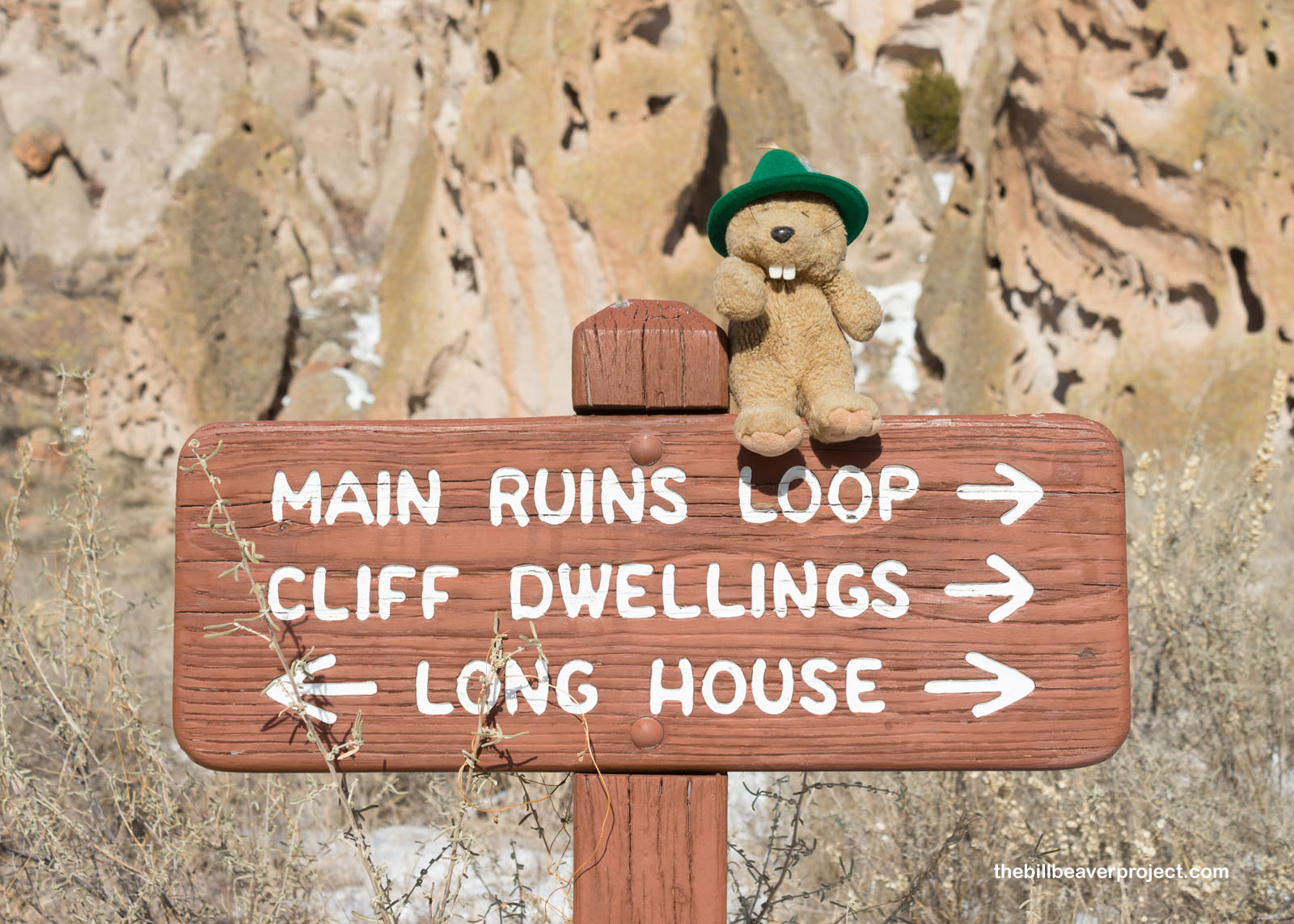
Named for anthropologist, Adolph Bandelier, this national monument preserves a bunch of Ancestral Puebloan cliff dwellings in narrow Frijoles Canyon! I started my adventure at the visitor center, which was build by the Civilian Conservation Corps (CCC) in the 1930s and is listed on the National Register of Historic Places!
 |
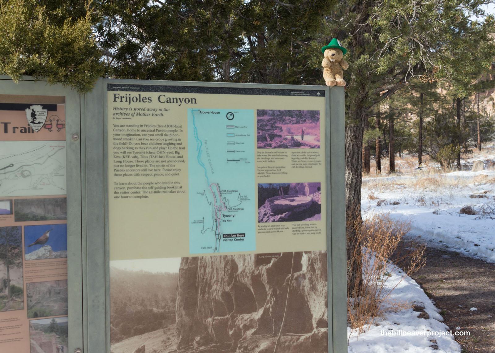
From the visitor center, I set out on the Frijoles Canyon Trail to see what I could see. The monument is enormous, in two units, but I was cutting it too close to sunset and needed to visit the densest concentration of neat spots!
 |
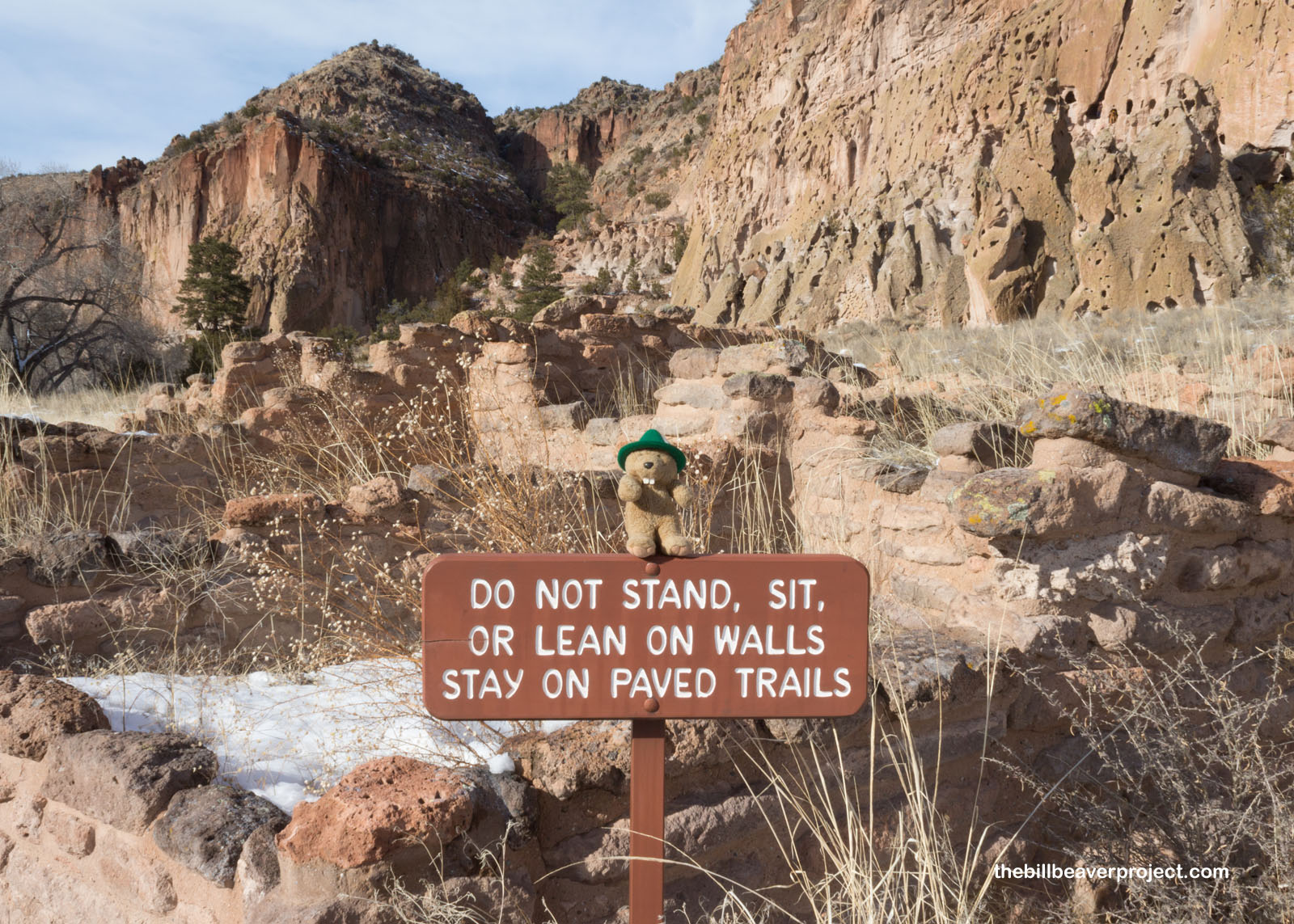
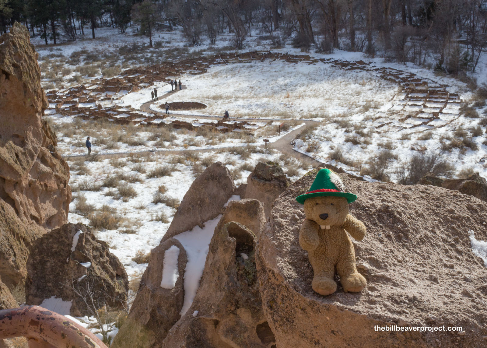
Not far down the trail, I came upon a vast complex of low ruins, formerly a pueblo called Tyuonyi (Qu-weh-nee). Once two stories tall, this pueblo has crumbled over years, but I heard there was a better view of it from above that gave a sense of its former grandeur! That sounded worth investigating!
 |
To take in that view, I continued counter-clockwise on the Main Loop Trail and upstairs to the higher cliff dwellings.
 |
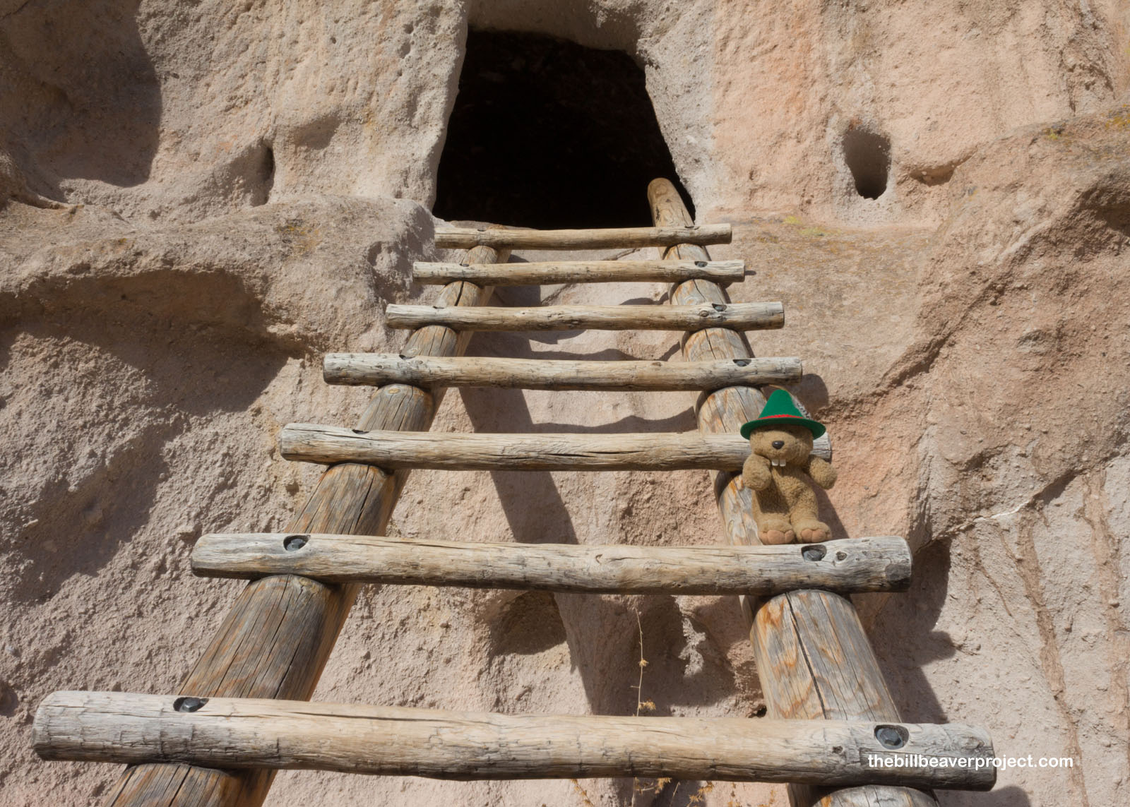
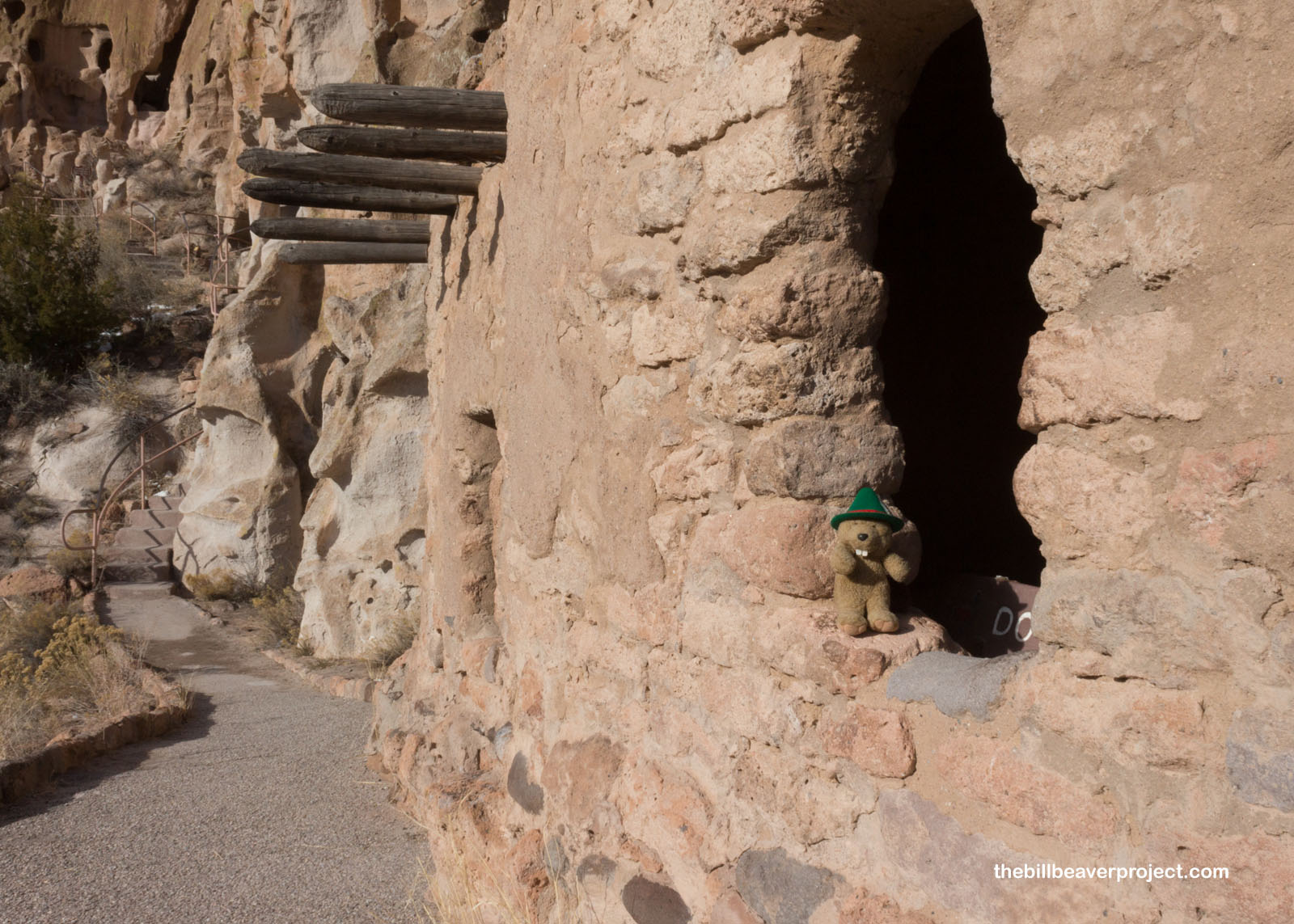
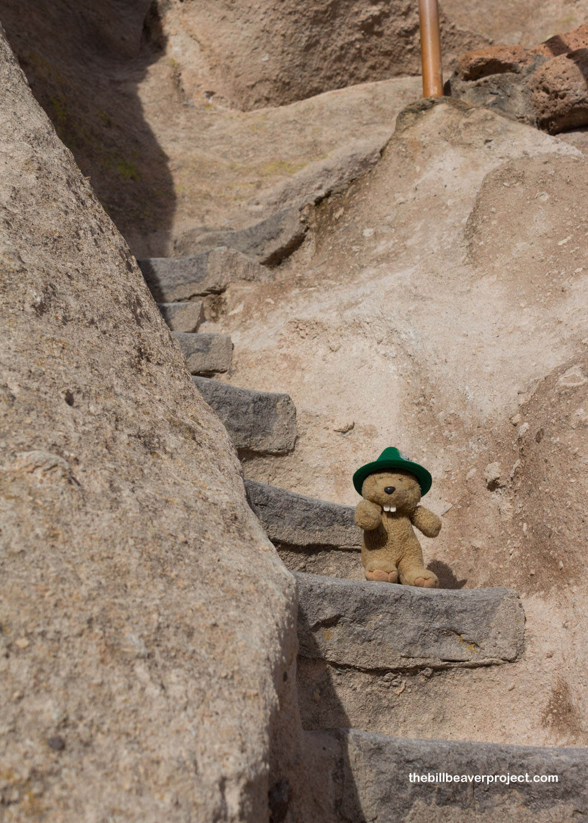
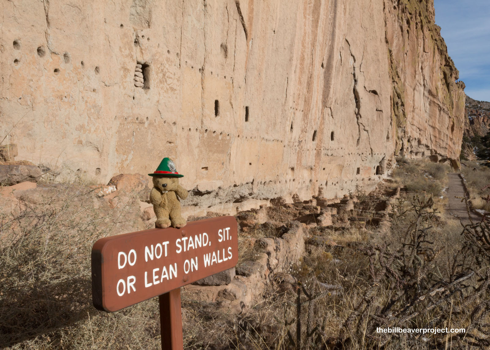
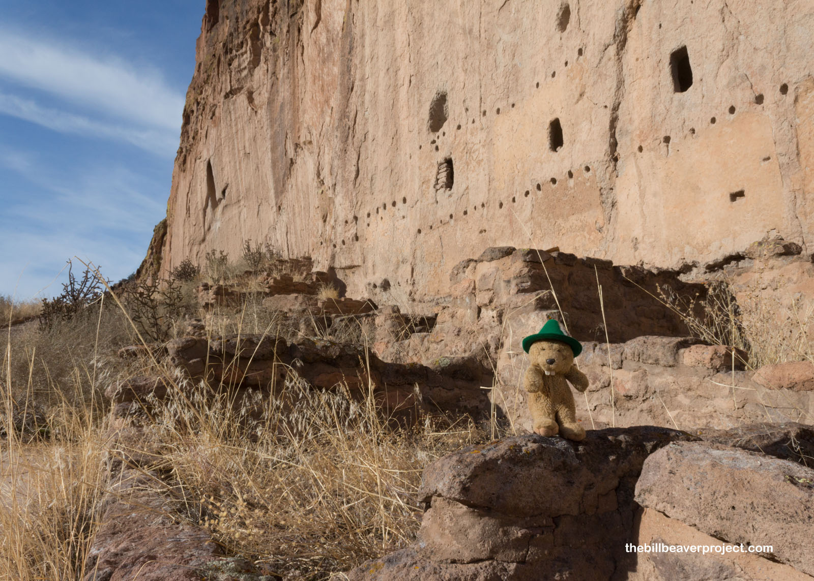
One of the really neat things about Bandelier National Monument’s Main Loop Trail is how immersive it is! Time has worn away many of the exterior dwellings, leaving behind only the holes where they attached to the cliff face. However, there are still rooms to see and reinforced ladders to climb up into them! The rooms are empty, but the views are about the same as they would have been four or more centuries ago!
 |
The settlement here dates back to the Pueblo III and Pueblo IV Eras. During Pueblo III (1150 to 1350 AD) was when many of the cliff dwellings here and at places like Mesa Verde got built. During Pueblo IV (1350 to 1600 AD) many of these cliff dwellers descended to build grand pueblos, like Taos Pueblo, on flatter terrain, where they were ultimately conquered by the Spanish!
 |
The trail was narrow, but not difficult, and it was kind of eerie passing by the open doors of what would have been an average neighborhood, long abandoned. The modern steps were a huge convenience compared to the ladders of the past!
 |
 |
At last, I reached a viewpoint overlooking the Tyuonyi so I could get a better sense of its scope. It was huge! Folks had lived in apartments here, but many of the buildings had been used for storing food! Just south, a kiva served their spiritual needs!
 |
I veered off the loop to see the traces of another vast dwelling, the Long House, once a 3-4 story complex spanning the length of the cliff! To top it off, most of the wall was still covered in complex, but very weathered, petroglyphs! Its true appearance remains a secret today, but it must have been dazzling in its prime!
 |
 |
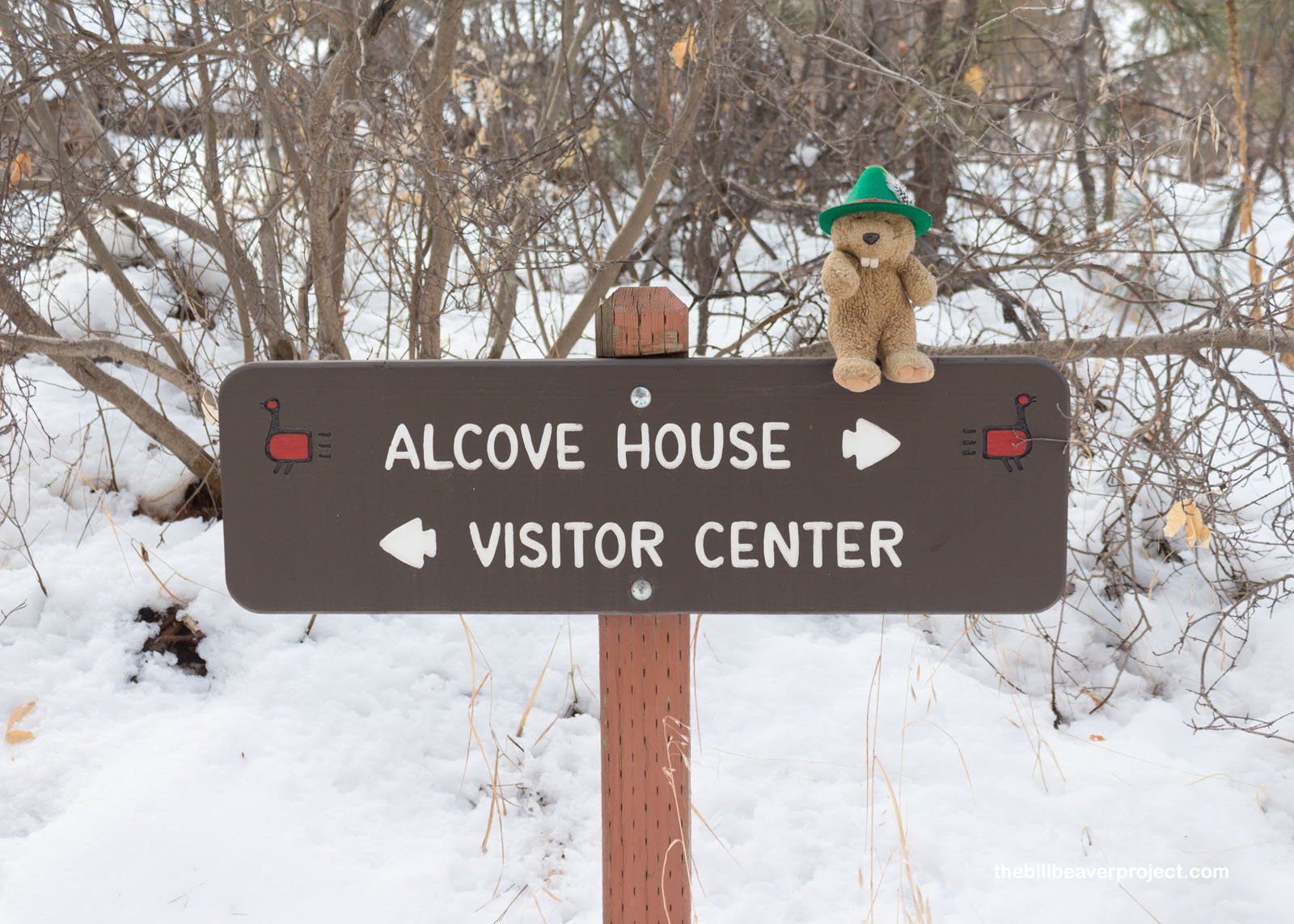
The sun was sinking lower over the cliffs, and while I was pretty comfortable, I knew it was going to start getting colder quickly. I wanted to see one more site here in the monument, and that was Alcove House, so I hustled across a bridge and past a campground to a snow-covered trail!
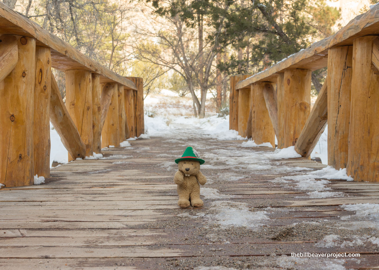 |
 |
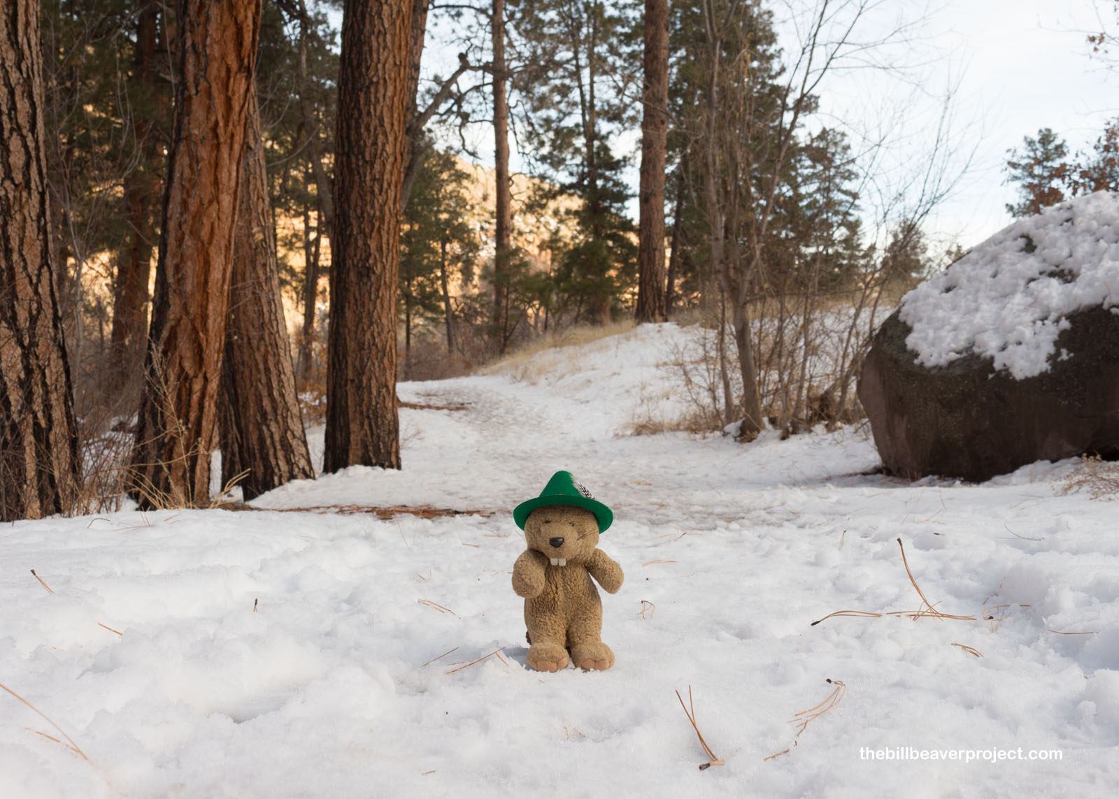
The space between wonders should never be overlooked in the outdoors! When you spend so much time in a big city, the coolness and the quiet bring a huge sense of relief and escape! Strolling through the snow and between the towering ponderosa pines was a great way to rest and reflect between experiences.
 |
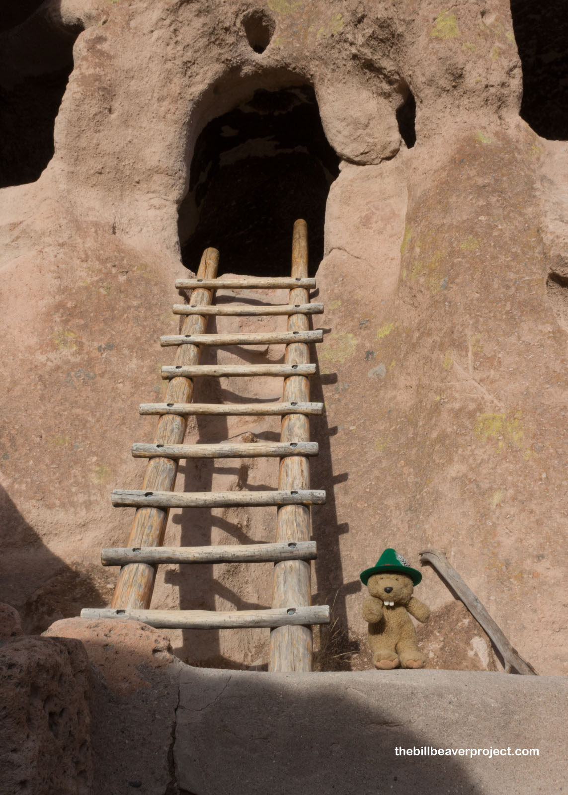
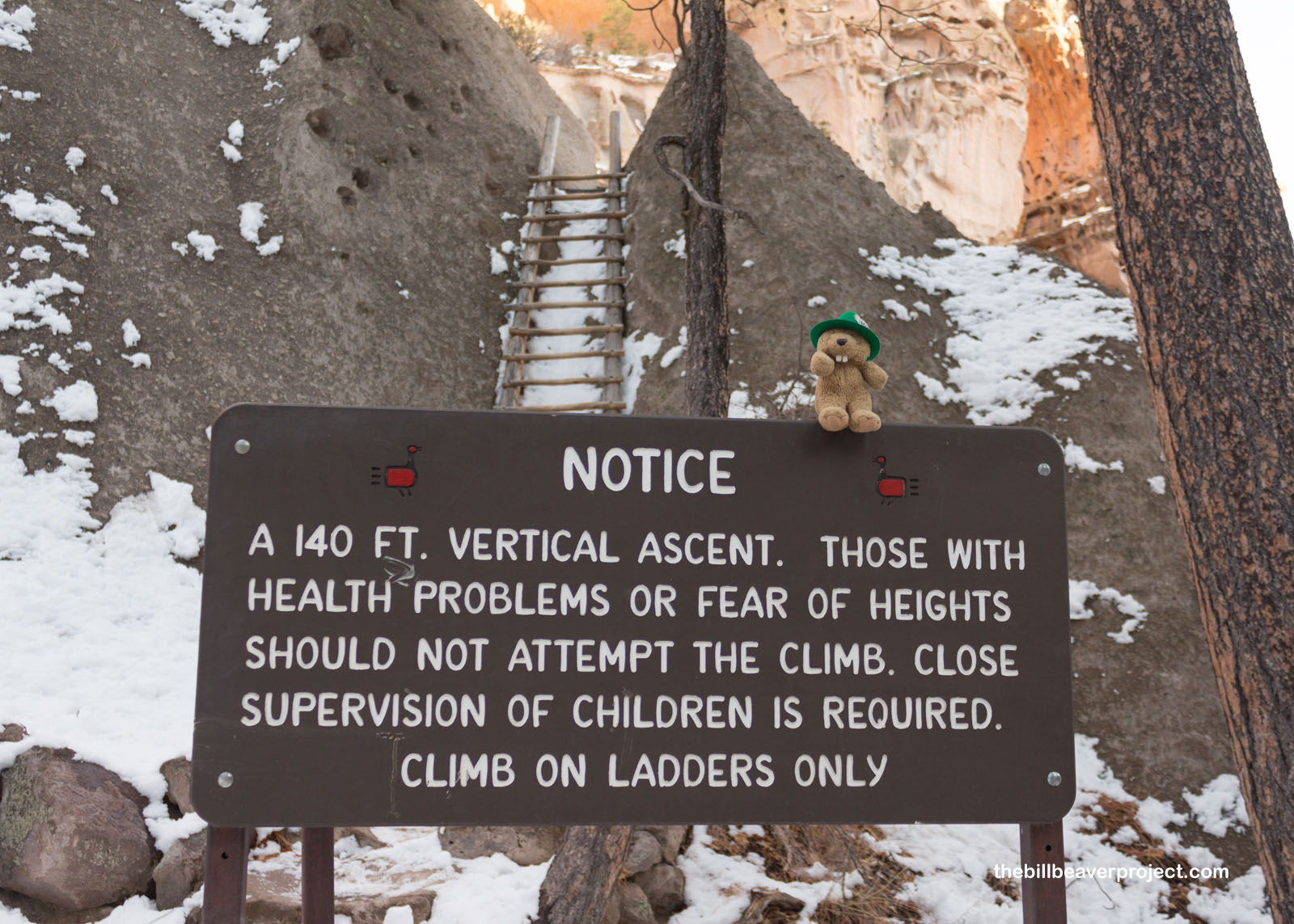
And I’d need that rest and reflection, because up ahead, a sign warned me of a 140-foot vertical ascent up wooden ladders on the side of a very steep cliff face! Did I dare take the risk on my own? I figured I’d need a little help.
 |
I hadn’t seen my old friend, Señor Castorieti in a while, almost two years! It’s hard to build a snowbeaver in the Judean Desert and the Mississippi Delta, so I was overdue. He sure did wonder about the delay and was very certain that I could have built him out of mud in Wadi Rum, but snow is much easier to clean off one’s paws. In any case, I asked if he’d help me get up the ladder to Alcove House, and with a grumble, he agreed!
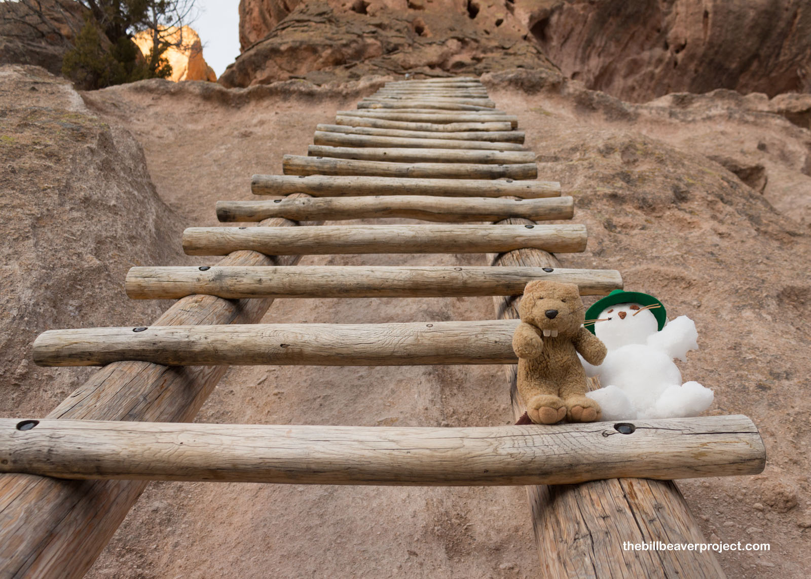 |
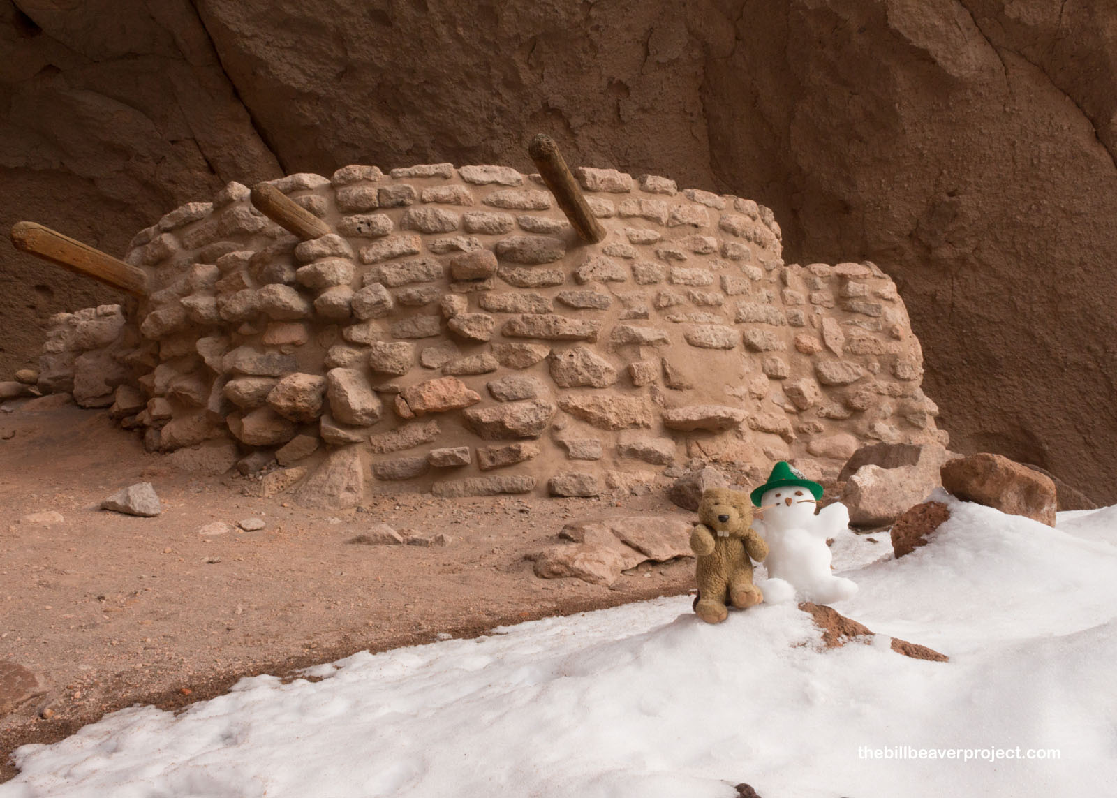
There were three main ladders to ascend, and there were a few other groups going up and down. Some definitely should have heeded the sign, because they were not ready for those heights at all! Señor Castorieti was surprisingly good at climbing ladders, since I packed the snow very tightly this time! At last, we reached the top and the tiny, reconstructed kiva called Alcove House! Excavated in 1908, the kiva still had corn preserved inside, as well as a fire pit and what might have been loom anchors for weaving!
 |
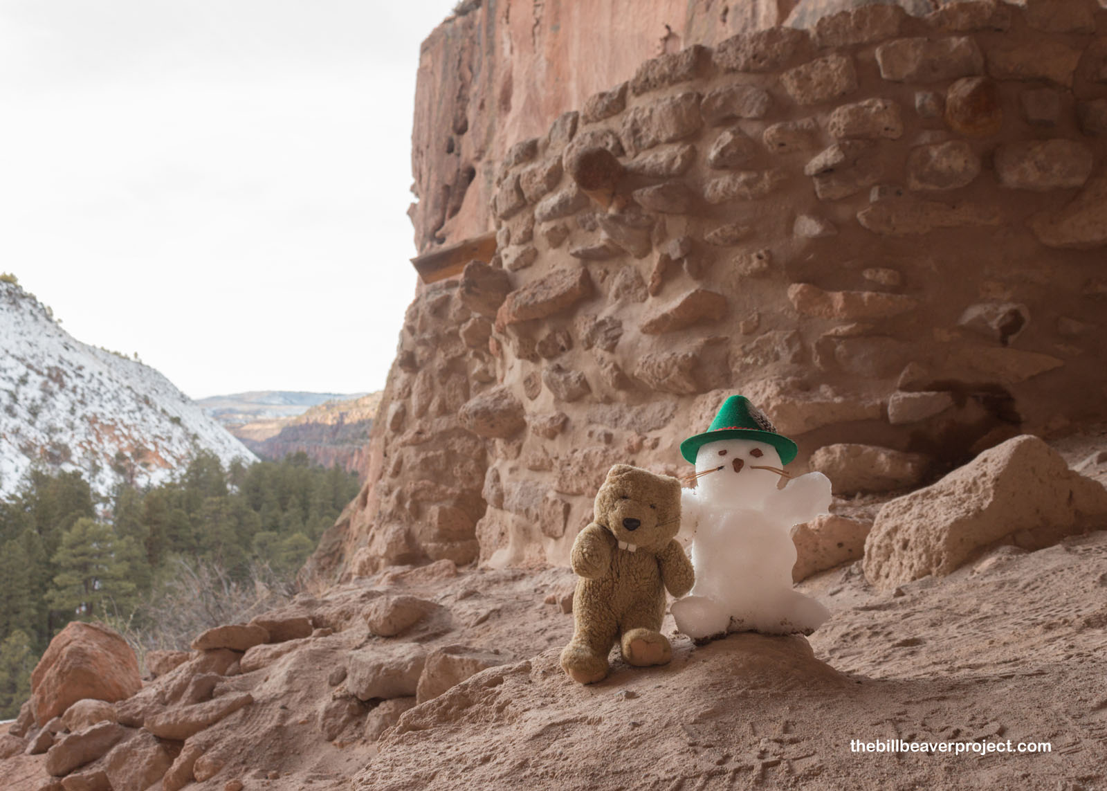 |
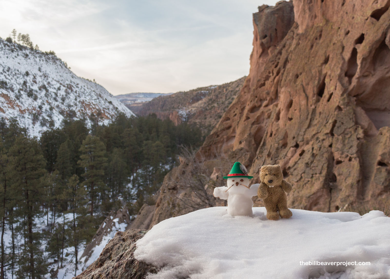
We sat on a rock and enjoyed the views of Frijoles Canyon as the sun went completely behind the opposite canyon wall. Soon, it was time to return, before the hour of mountain lions took hold. We returned to the ladders, but oh no! Señor Castorieti was not as dexterous going down as he was going up and took a big tumble into the rocks below! Poor Señor Castorieti! I’ll see him again very soon. A snowbeaver cannot stay unbuilt forever!
 |
I returned to the visitor center in a vast and increasing quiet. I’d explored a lot of secret places, past and present, today, which had left me with lots to wonder about! The history of tomorrow’s destinations is a little more certain, so I look forward to learning more about that as well.
Bandelier today, Bande-gone tomorrow!

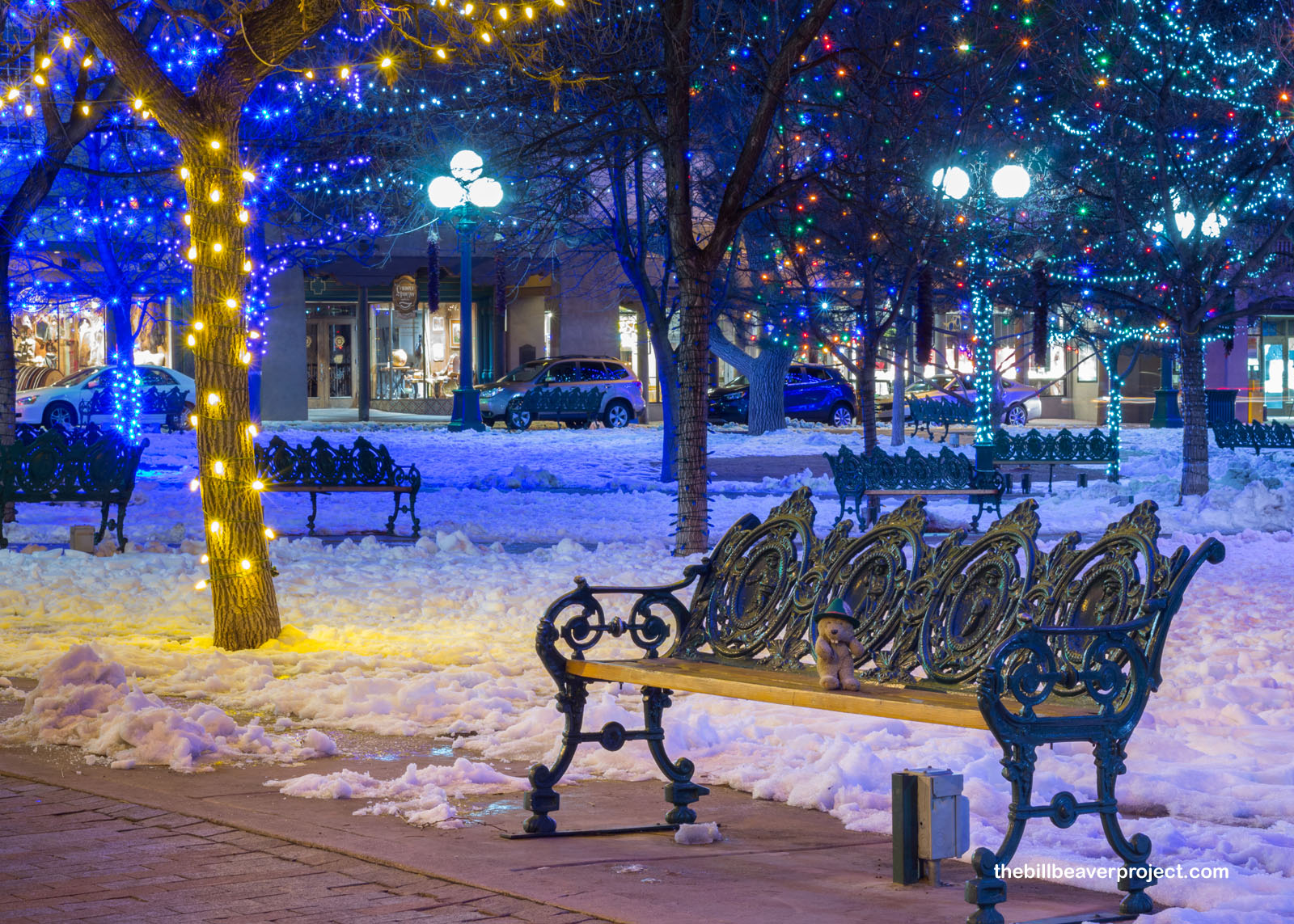
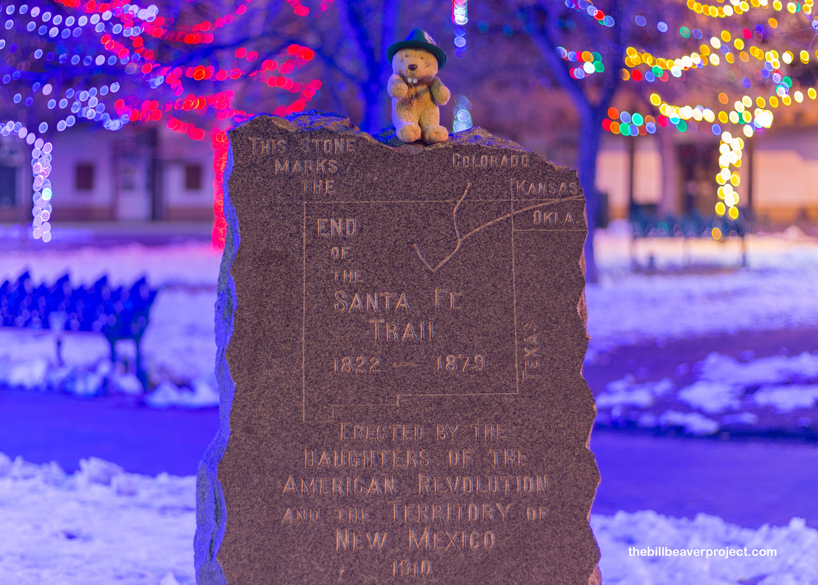
P.S. I went to get some tortilla soup in Santa Fe, and wouldn’t you know it? The city hasn’t taken down their Christmas lights yet! I got treated to a fantastic dinner right on the edge of the historic Santa Fe Plaza, lit up with a bajillion colors! It was the perfect cap to a day in the Land of Enchantment!
 |
 |
Previous Day |
Total Ground Covered: 276.9 mi (445.6 km) |
Next Day |