 |
| Landmark #671 | Kern County | Visited: December 31, 2011 | Plaque? YES! 🙂 |
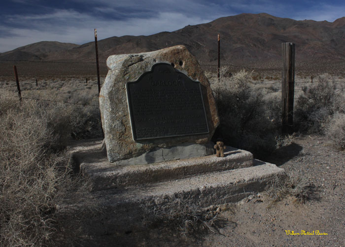
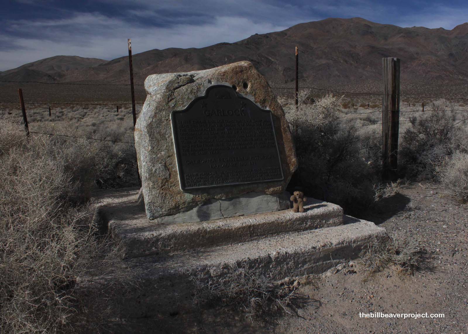
| What is it? | A plaque recounting the tale of Eugene Garlock’s mining town! |
| What makes it historical? | THE GUIDE SAYS: In 1896, Eugene Garlock constructed a stamp mill near this spot to crush gold ore from the Yellow Aster Mine on Rand Mountain. Known originally as Cow Wells by prospectors and freighters during the 1880s and early 1890s, the town of Garlock continued to thrive until 1898, when water was piped from here to Randsburg and the Kramer-Randsburg rail line was completed.
OTHER TIDBITS: Apparently Garlock is most famous for one of its residents, Burro Schmidt, who followed a vein of gold right through an entire mountain! The tunnel is still visible today, but it’s on private property and can’t be toured! |
| How can I Help the Helpers? | HERE’S HOW:
|
| Where is this place? | LISTED DIRECTIONS: 74 mi W of State Hwy 395 on Garlock Rd 13.4 mi NE of Cantil post office Garlock, CA 93554 ANNOTATIONS: From Los Angeles: ~129mi (208km) — 2.2hrs |
| When should I go? | Whenever the mood strikes you! |